Greenbrier is a city in Robertson County, Tennessee, United States. The population was 6,433 at the 2010 census, and at the 2020 census the population was 6,898.
| Name: | Greenbrier town |
|---|---|
| LSAD Code: | 43 |
| LSAD Description: | town (suffix) |
| State: | Tennessee |
| County: | Robertson County |
| Elevation: | 850 ft (260 m) |
| Total Area: | 7.30 sq mi (18.90 km²) |
| Land Area: | 7.26 sq mi (18.80 km²) |
| Water Area: | 0.04 sq mi (0.10 km²) |
| Total Population: | 6,898 |
| Population Density: | 950.01/sq mi (366.82/km²) |
| ZIP code: | 37073 |
| Area code: | 615 |
| FIPS code: | 4730960 |
| GNISfeature ID: | 1286141 |
| Website: | greenbriertn.org |
Online Interactive Map
Click on ![]() to view map in "full screen" mode.
to view map in "full screen" mode.
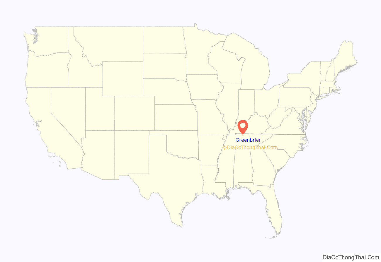
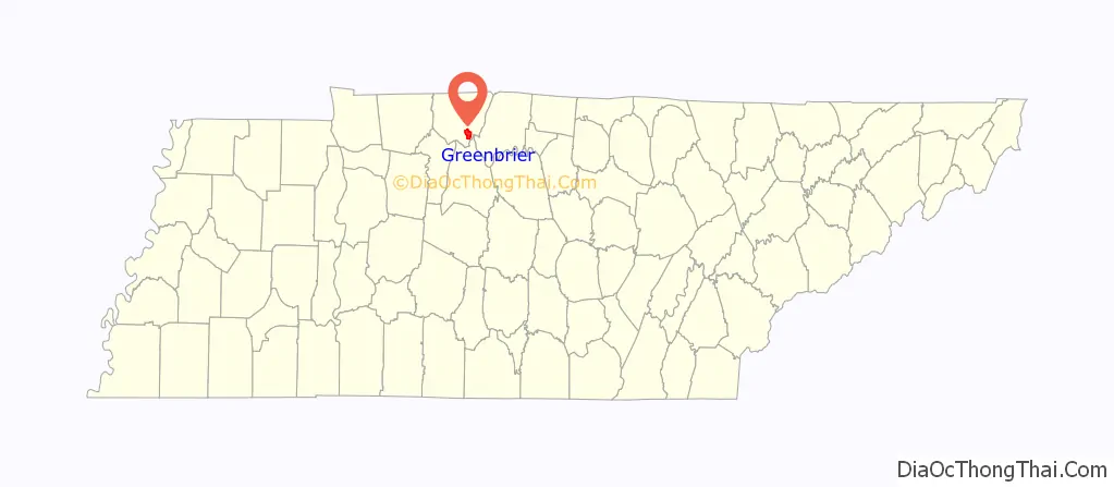
Greenbrier location map. Where is Greenbrier town?
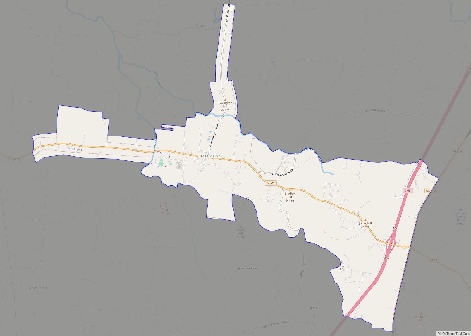
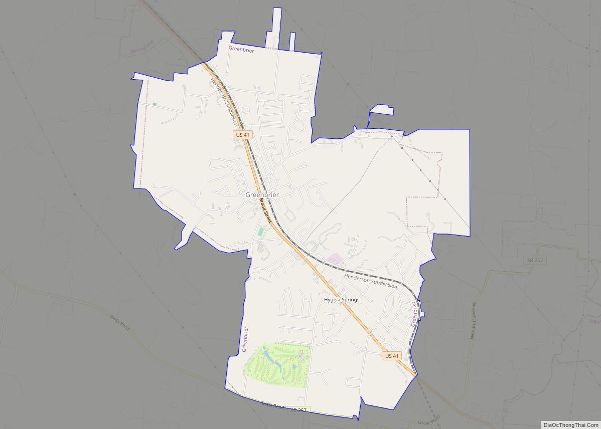
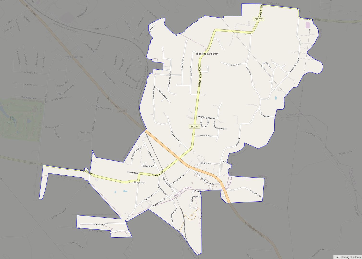
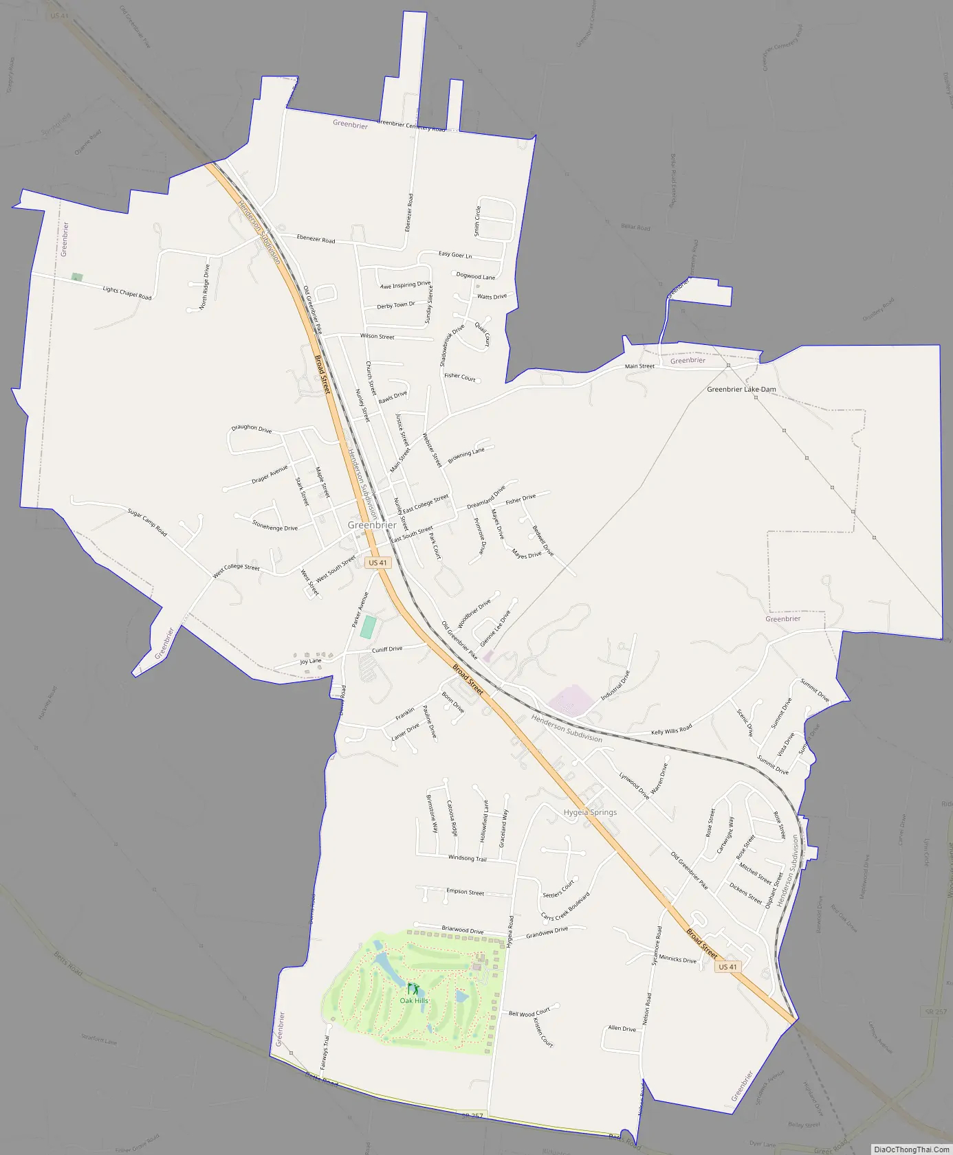
Greenbrier Road Map
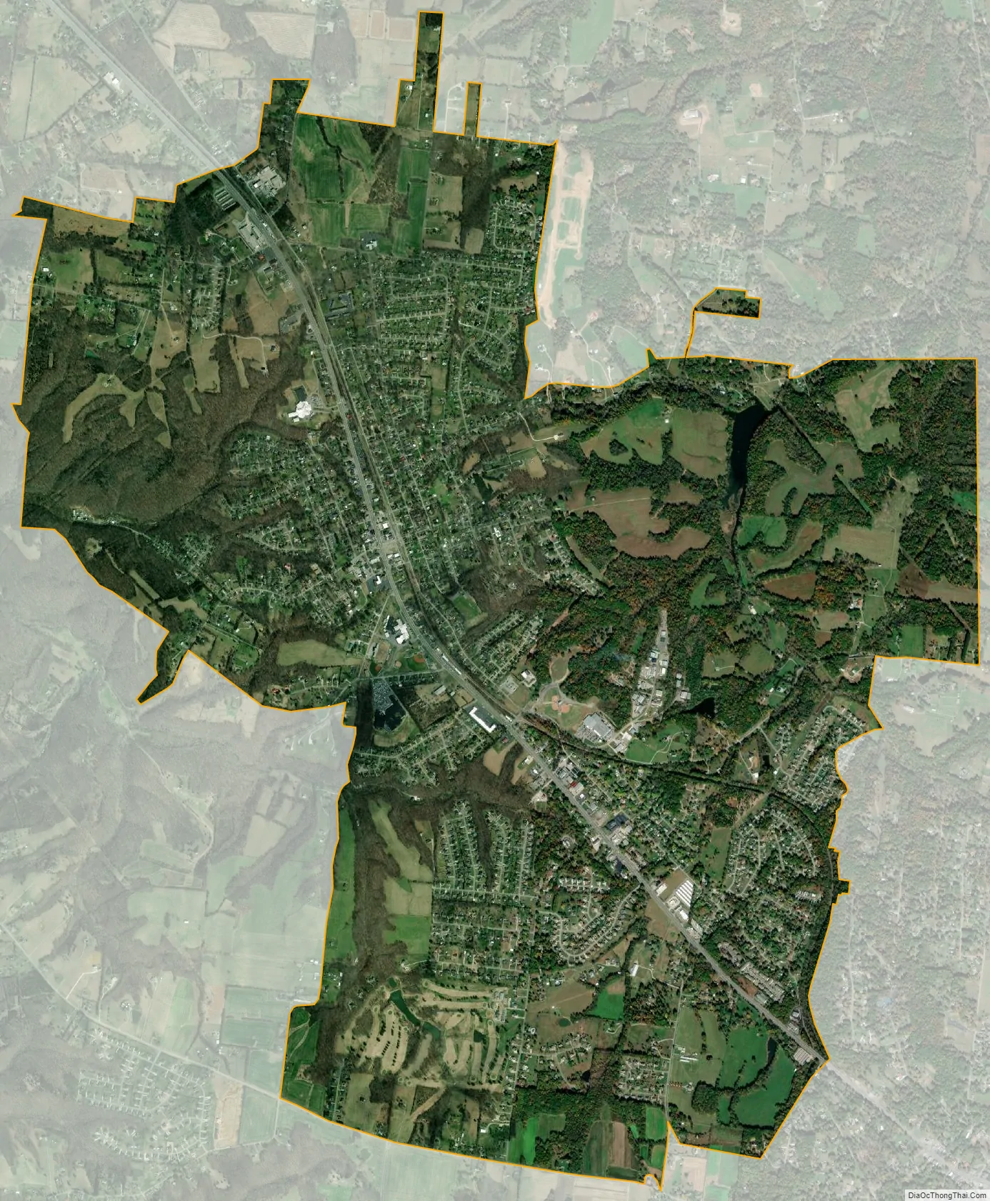
Greenbrier city Satellite Map
Geography
According to the United States Census Bureau, the city has a total area of 6.6 square miles (17.2 km), of which 6.6 square miles is land and 0.04 square mile (0.45%) is water. The city is concentrated along a stretch of U.S. Route 41, southeast of Springfield and northwest of Goodlettsville. Greenbrier lies about 23 miles (37 km) north of Nashville.
See also
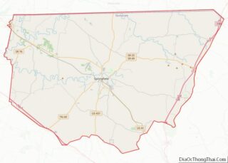
Map of Tennessee State and its subdivision:- Anderson
- Bedford
- Benton
- Bledsoe
- Blount
- Bradley
- Campbell
- Cannon
- Carroll
- Carter
- Cheatham
- Chester
- Claiborne
- Clay
- Cocke
- Coffee
- Crockett
- Cumberland
- Davidson
- Decatur
- DeKalb
- Dickson
- Dyer
- Fayette
- Fentress
- Franklin
- Gibson
- Giles
- Grainger
- Greene
- Grundy
- Hamblen
- Hamilton
- Hancock
- Hardeman
- Hardin
- Hawkins
- Haywood
- Henderson
- Henry
- Hickman
- Houston
- Humphreys
- Jackson
- Jefferson
- Johnson
- Knox
- Lake
- Lauderdale
- Lawrence
- Lewis
- Lincoln
- Loudon
- Macon
- Madison
- Marion
- Marshall
- Maury
- McMinn
- McNairy
- Meigs
- Monroe
- Montgomery
- Moore
- Morgan
- Obion
- Overton
- Perry
- Pickett
- Polk
- Putnam
- Rhea
- Roane
- Robertson
- Rutherford
- Scott
- Sequatchie
- Sevier
- Shelby
- Smith
- Stewart
- Sullivan
- Sumner
- Tipton
- Trousdale
- Unicoi
- Union
- Van Buren
- Warren
- Washington
- Wayne
- Weakley
- White
- Williamson
- Wilson
- Alabama
- Alaska
- Arizona
- Arkansas
- California
- Colorado
- Connecticut
- Delaware
- District of Columbia
- Florida
- Georgia
- Hawaii
- Idaho
- Illinois
- Indiana
- Iowa
- Kansas
- Kentucky
- Louisiana
- Maine
- Maryland
- Massachusetts
- Michigan
- Minnesota
- Mississippi
- Missouri
- Montana
- Nebraska
- Nevada
- New Hampshire
- New Jersey
- New Mexico
- New York
- North Carolina
- North Dakota
- Ohio
- Oklahoma
- Oregon
- Pennsylvania
- Rhode Island
- South Carolina
- South Dakota
- Tennessee
- Texas
- Utah
- Vermont
- Virginia
- Washington
- West Virginia
- Wisconsin
- Wyoming