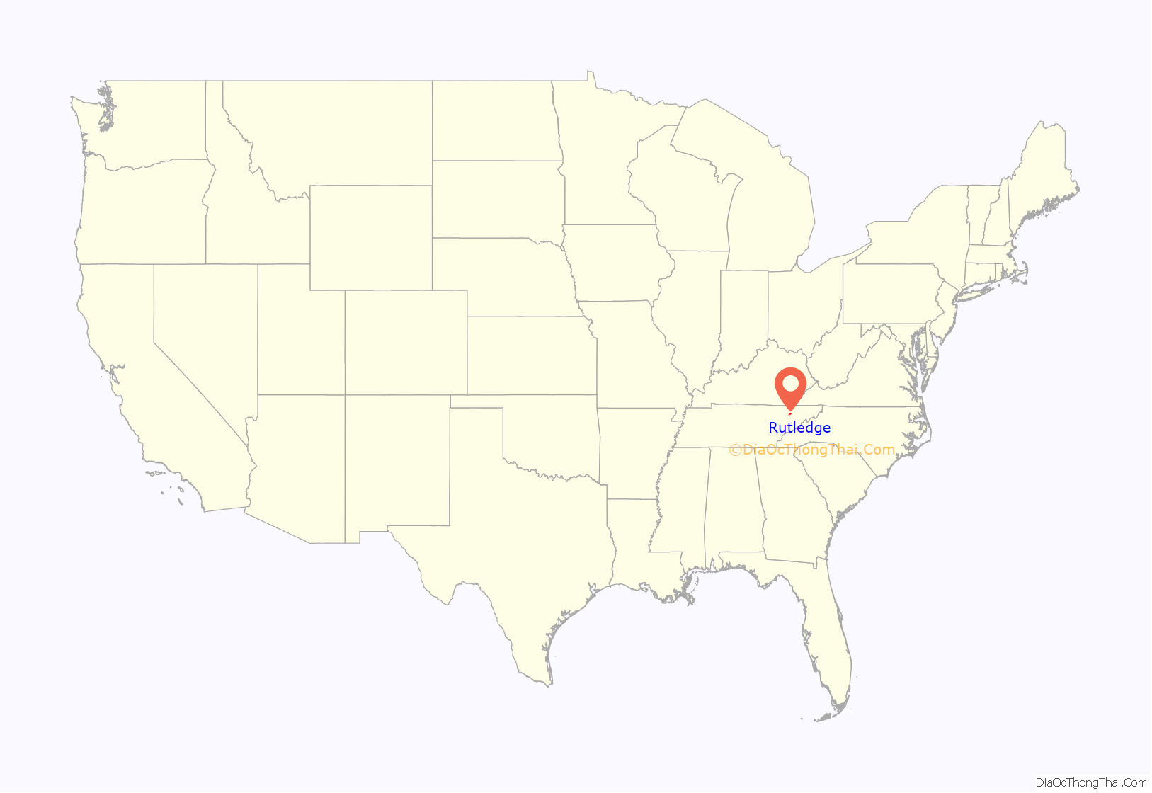
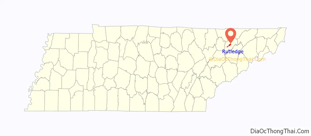
Rutledge is a city in and the county seat of Grainger County, Tennessee. The city is part of both the Knoxville metropolitan area and the Morristown metropolitan area. As of the 2020 census, the city had a total population of 1,321.
| Name: | Rutledge town |
|---|---|
| LSAD Code: | 43 |
| LSAD Description: | town (suffix) |
| State: | Tennessee |
| County: | Grainger County |
| Incorporated: | 1797 |
| Elevation: | 1,017 ft (310 m) |
| Total Area: | 5.54 sq mi (14.34 km²) |
| Land Area: | 5.53 sq mi (14.33 km²) |
| Water Area: | 0.01 sq mi (0.01 km²) |
| Total Population: | 1,321 |
| Population Density: | 238.84/sq mi (92.21/km²) |
| ZIP code: | 37861 |
| Area code: | 865 |
| FIPS code: | 4765820 |
| GNISfeature ID: | 1269919 |
Online Interactive Map
Click on ![]() to view map in "full screen" mode.
to view map in "full screen" mode.
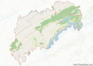
Rutledge location map. Where is Rutledge town?
History
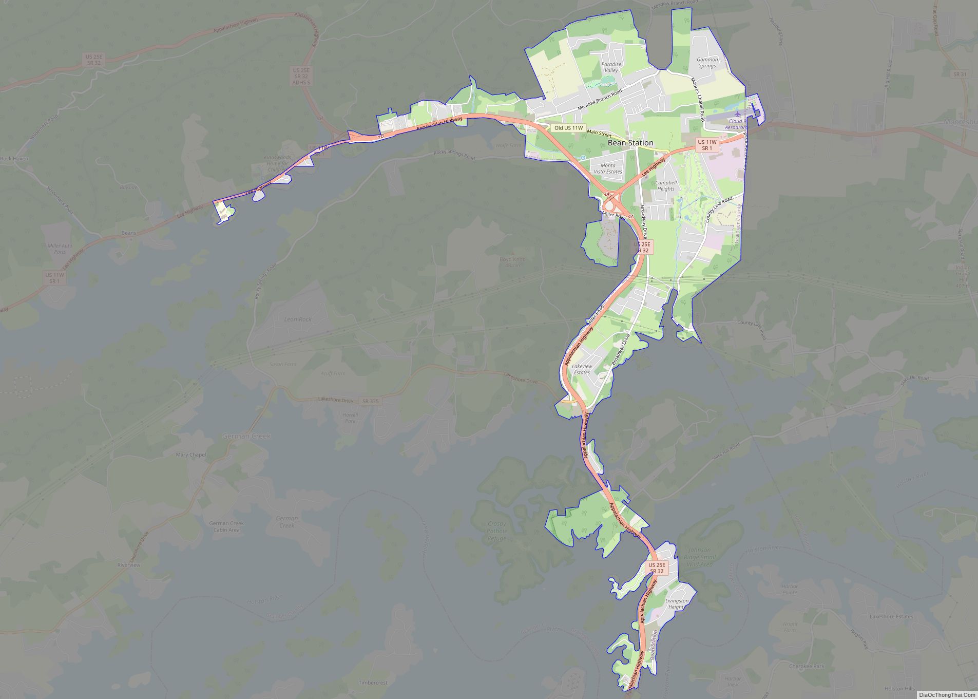
Rutledge was established and incorporated in 1797 and named for General George Rutledge, a prominent citizen in nearby Sullivan County. At the time of its incorporation, it became the first municipality to have its own police department in Grainger County. In 1801, Rutledge became the official county seat of Grainger County, a distinction that had been shared by several communities since the county’s formation in 1796. Rutledge prospered in the early 19th century in part due to its situation along the Federal Road (present day US 11W), which connected New Orleans and Virginia. The road intersected the Wilderness Road (present day US 25E) at Bean Station, just east of Rutledge.
In the 1820s, President Andrew Johnson, who worked as a tailor in Greeneville, briefly operated a tailor shop in Rutledge. In 1976, a replica of Johnson’s tailor shop was erected on the Grainger County Courthouse lawn.
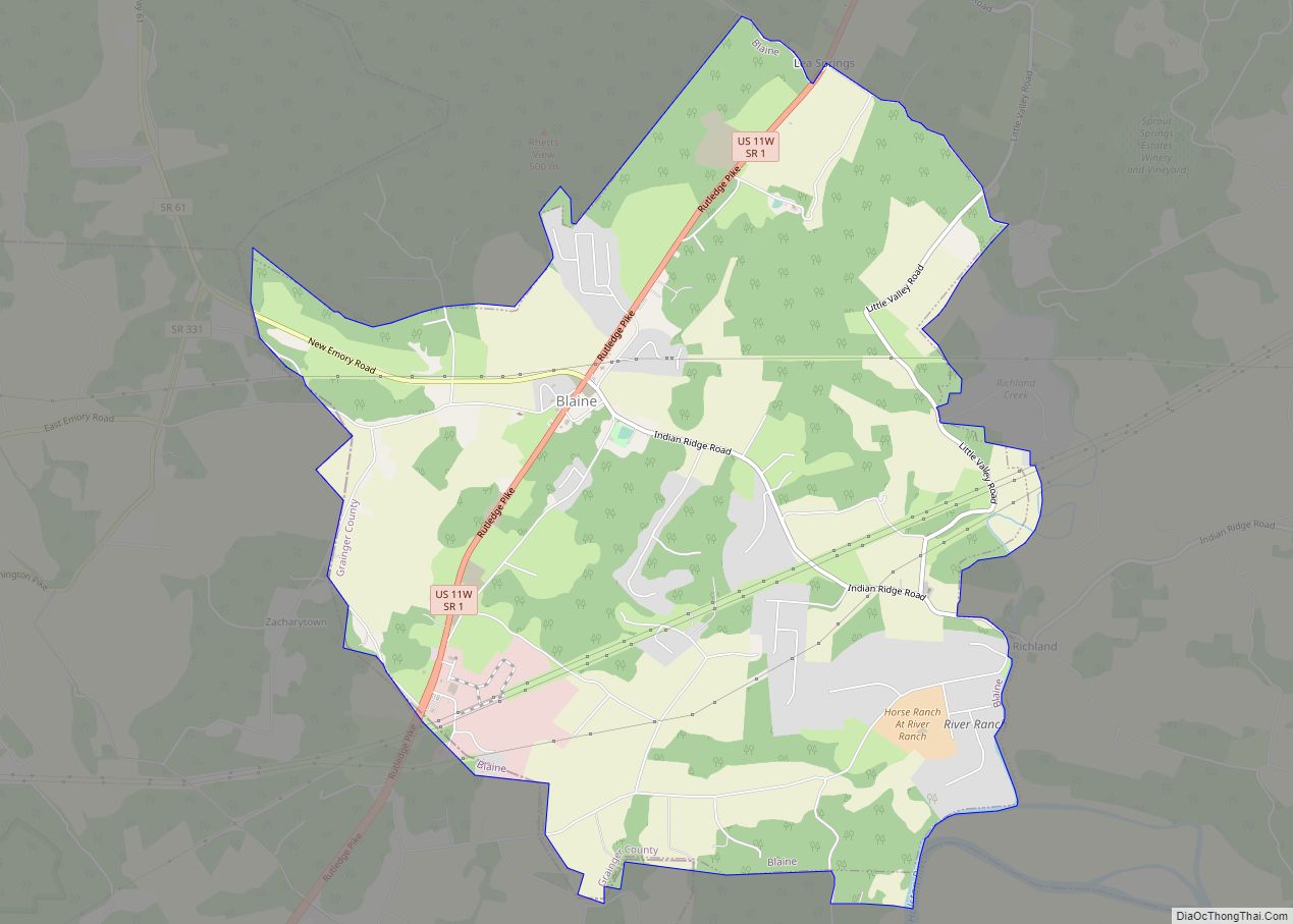
During the U.S. Civil War, guerilla warfare largely paralyzed Grainger County. In December 1863, Confederate General James Longstreet, who had earlier failed to wrest Knoxville from Union forces, passed through Rutledge en route to winter quarters at Russellville. On December 14, in what became known as the Battle of Bean’s Station, Longstreet attacked a Union detachment that had been pursuing him. The Confederates failed to exploit the element of surprise, and the Union forces were able to hold out until reinforcements arrived. While Longstreet was victorious, Union forces were able to retreat to fortifications at Blaine, and Longstreet subsequently abandoned the assault and continued eastward to Russellville.
In May 1955, following efforts from the community’s Lions Club, Rutledge would vote to reincorporate into a city in an overwhelming 192 in favor compared to 21 against incorporation. Following the reincorporation, the city would construct sewage treatment and waterworks systems to promote economic development with funding given from the Eisenhower administration’s Rural Development Program.
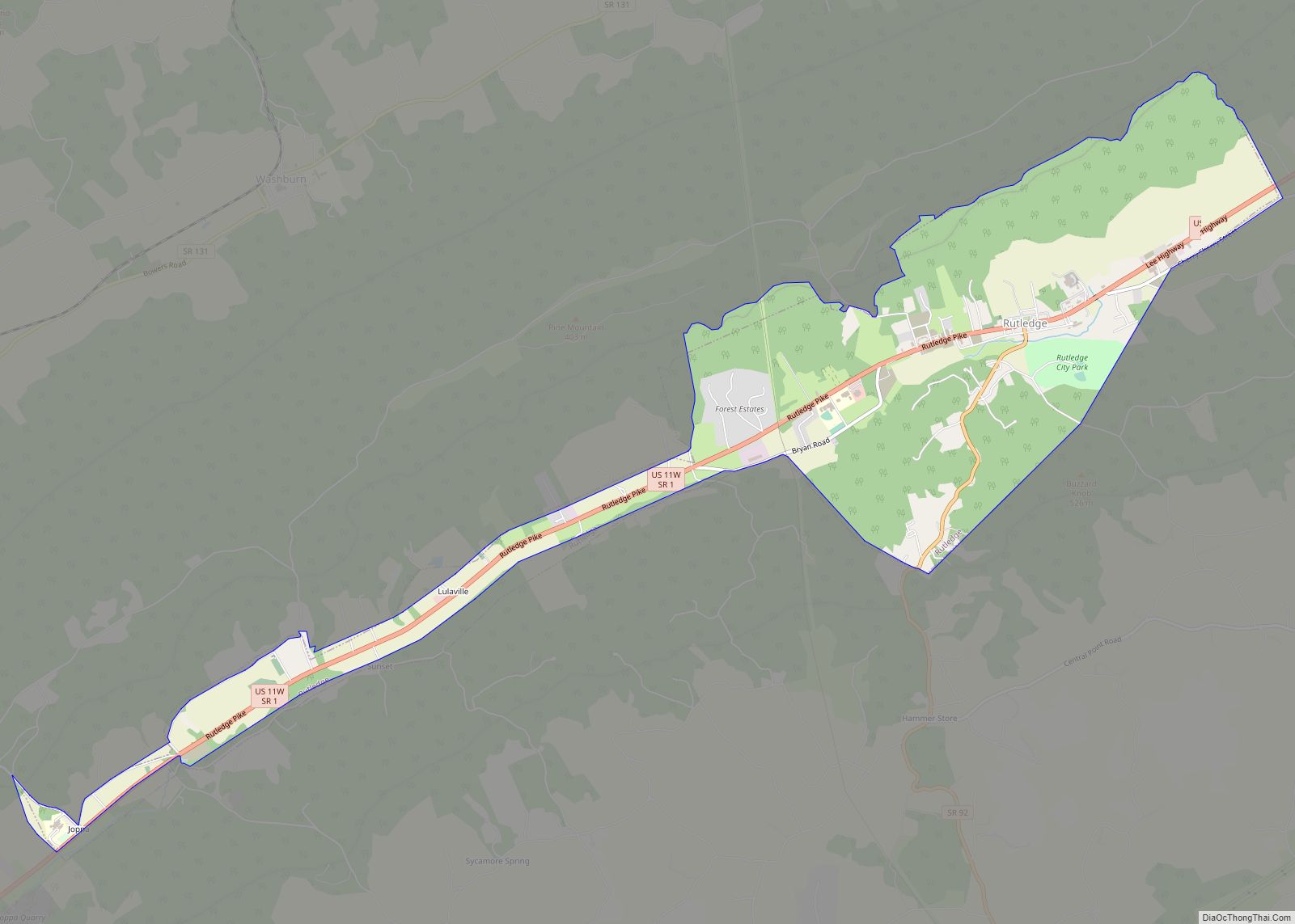
Rutledge Road Map
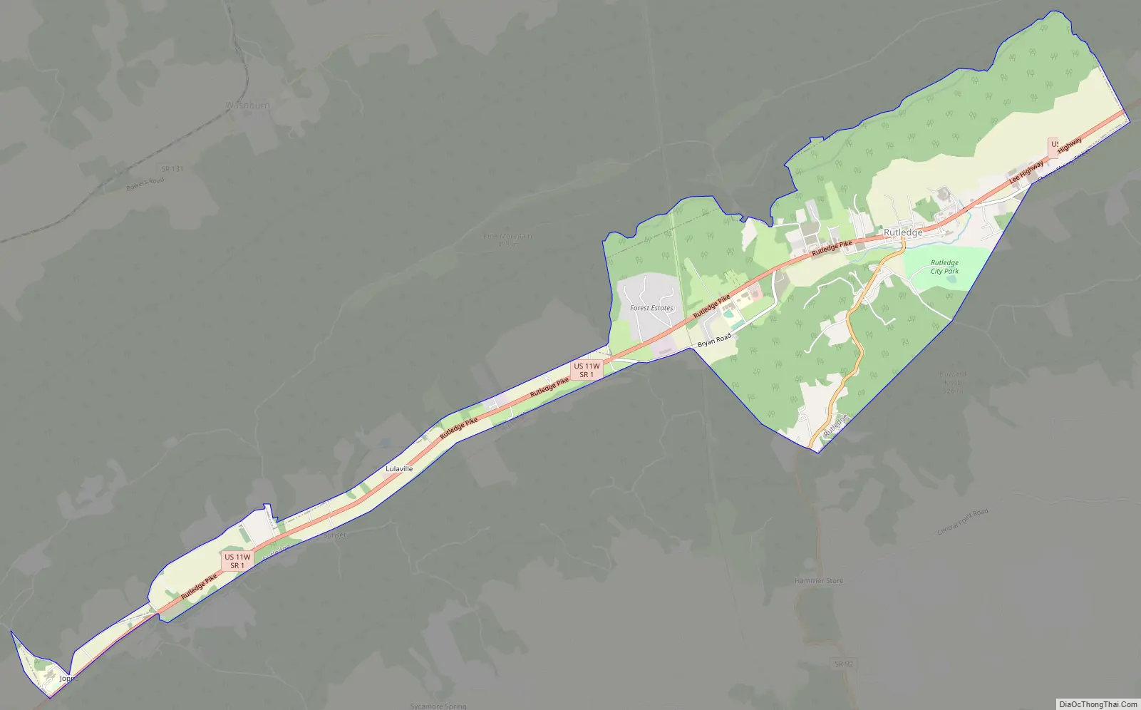
Rutledge city Satellite Map

Geography
Rutledge is situated near the center of Richland Valley, a narrow valley that stretches for some 35 miles (56 km) along the southern base of Clinch Mountain between Blaine and Bean Station. Richland Creek traverses most of the valley en route to its confluence along the Cherokee Lake impoundment of the Holston River, approximately 20 miles (32 km) downstream from Rutledge. Cherokee Lake’s Ray Creek embayment is located approximately 10 miles (16 km) east of Rutledge.
Rutledge is centered around the junction of U.S. Route 11W, which connects the city to Kingsport to the east and Knoxville to the west, and State Route 92, which connects the city to Jefferson County, Interstate 40, and Interstate 81 to the south. U.S. Route 25E, which traverses Clinch Mountain, intersects US-11W in nearby Bean Station.
According to the United States Census Bureau, the city has a total area of 4.7 square miles (12 km), all land.
See also
Map of Tennessee State and its subdivision:- Anderson
- Bedford
- Benton
- Bledsoe
- Blount
- Bradley
- Campbell
- Cannon
- Carroll
- Carter
- Cheatham
- Chester
- Claiborne
- Clay
- Cocke
- Coffee
- Crockett
- Cumberland
- Davidson
- Decatur
- DeKalb
- Dickson
- Dyer
- Fayette
- Fentress
- Franklin
- Gibson
- Giles
- Grainger
- Greene
- Grundy
- Hamblen
- Hamilton
- Hancock
- Hardeman
- Hardin
- Hawkins
- Haywood
- Henderson
- Henry
- Hickman
- Houston
- Humphreys
- Jackson
- Jefferson
- Johnson
- Knox
- Lake
- Lauderdale
- Lawrence
- Lewis
- Lincoln
- Loudon
- Macon
- Madison
- Marion
- Marshall
- Maury
- McMinn
- McNairy
- Meigs
- Monroe
- Montgomery
- Moore
- Morgan
- Obion
- Overton
- Perry
- Pickett
- Polk
- Putnam
- Rhea
- Roane
- Robertson
- Rutherford
- Scott
- Sequatchie
- Sevier
- Shelby
- Smith
- Stewart
- Sullivan
- Sumner
- Tipton
- Trousdale
- Unicoi
- Union
- Van Buren
- Warren
- Washington
- Wayne
- Weakley
- White
- Williamson
- Wilson
- Alabama
- Alaska
- Arizona
- Arkansas
- California
- Colorado
- Connecticut
- Delaware
- District of Columbia
- Florida
- Georgia
- Hawaii
- Idaho
- Illinois
- Indiana
- Iowa
- Kansas
- Kentucky
- Louisiana
- Maine
- Maryland
- Massachusetts
- Michigan
- Minnesota
- Mississippi
- Missouri
- Montana
- Nebraska
- Nevada
- New Hampshire
- New Jersey
- New Mexico
- New York
- North Carolina
- North Dakota
- Ohio
- Oklahoma
- Oregon
- Pennsylvania
- Rhode Island
- South Carolina
- South Dakota
- Tennessee
- Texas
- Utah
- Vermont
- Virginia
- Washington
- West Virginia
- Wisconsin
- Wyoming