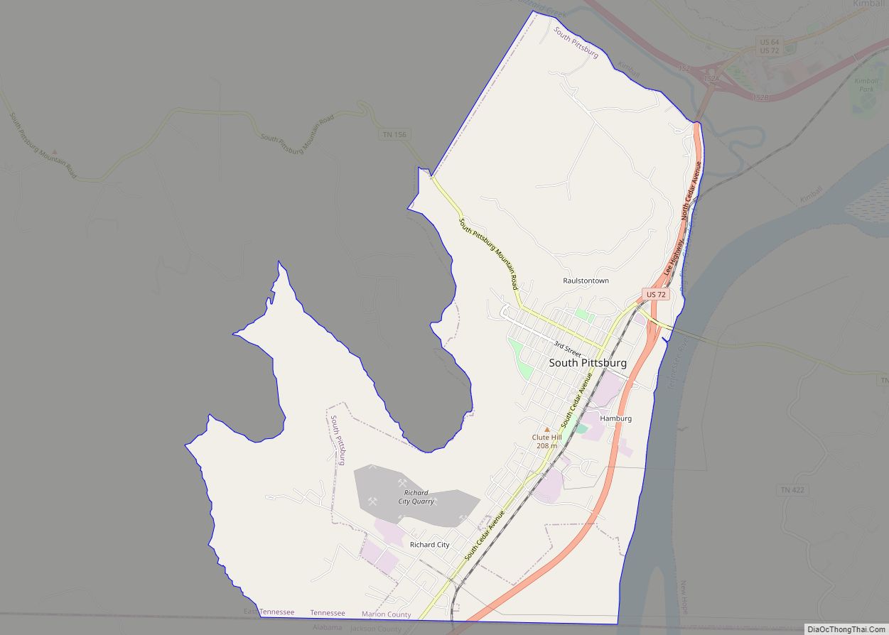
Kimball is a town in Marion County, Tennessee, United States. The population was 1,545 at the 2020 census and 1,395 in 2010. It is part of the Chattanooga, TN–GA Metropolitan Statistical Area.
| Name: | Kimball town |
|---|---|
| LSAD Code: | 43 |
| LSAD Description: | town (suffix) |
| State: | Tennessee |
| County: | Marion County |
| Elevation: | 676 ft (206 m) |
| Total Area: | 5.31 sq mi (13.76 km²) |
| Land Area: | 5.31 sq mi (13.76 km²) |
| Water Area: | 0.00 sq mi (0.00 km²) |
| Total Population: | 1,545 |
| Population Density: | 290.91/sq mi (112.32/km²) |
| ZIP code: | 37347 |
| Area code: | 423 |
| FIPS code: | 4739400 |
| GNISfeature ID: | 1314134 |
| Website: | www.townofkimball.com |
Online Interactive Map
Click on ![]() to view map in "full screen" mode.
to view map in "full screen" mode.
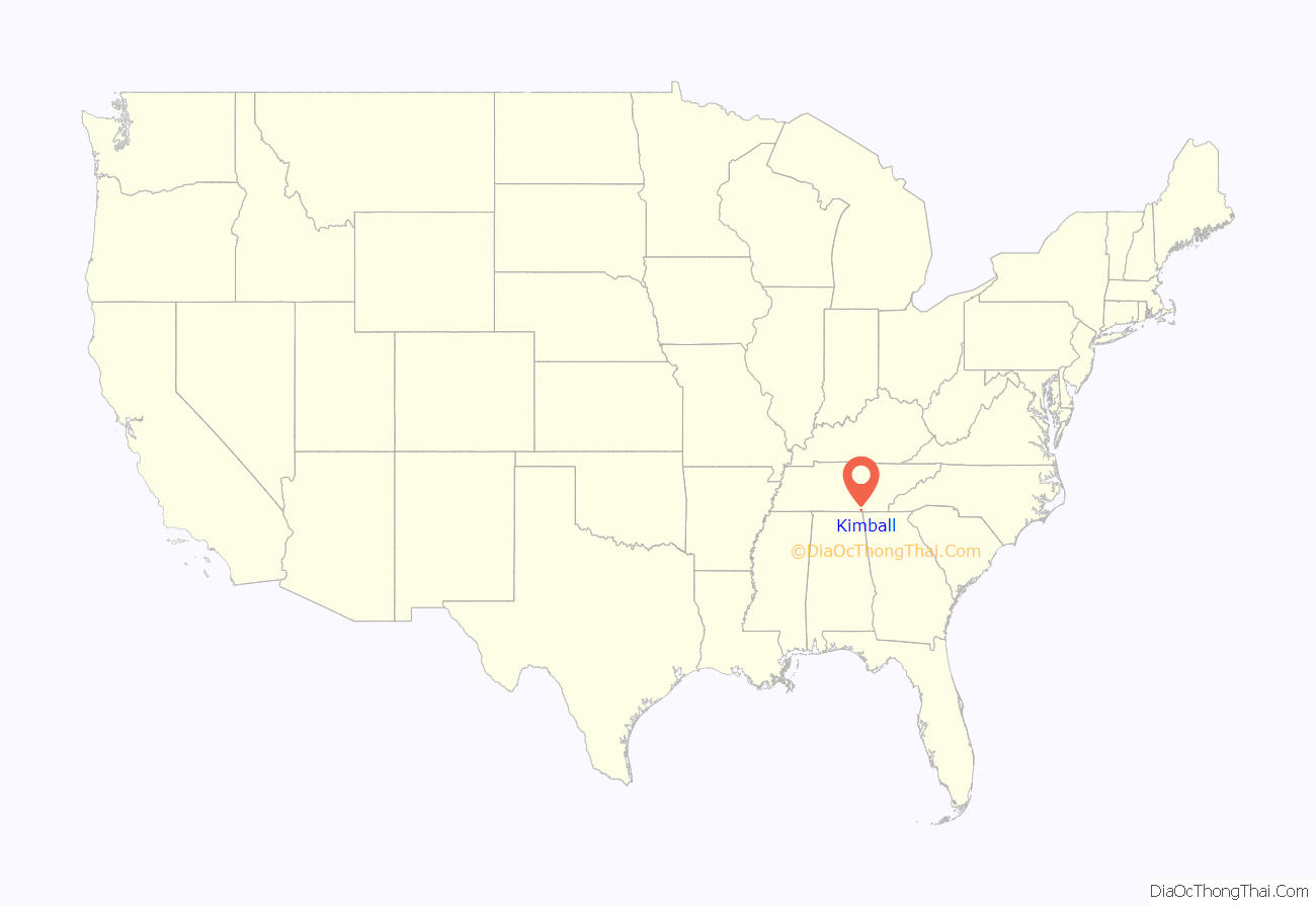
Kimball location map. Where is Kimball town?
History
Kimball was founded in 1890 as a model industrial city by Hannibal Kimball, with support of the British Anglo-American Company, Limited. The location was chosen to be similar to another planned city, Colorado Springs. It was backed by mountains, with three miles of frontage on the Tennessee River and rail connections on the Nashville, Chattanooga and St. Louis Railway.
The town suffered damage after it was struck by an EF 2 tornado on November 14, 2007. The storm left nine injured, along a damage path of approximately two miles in length.
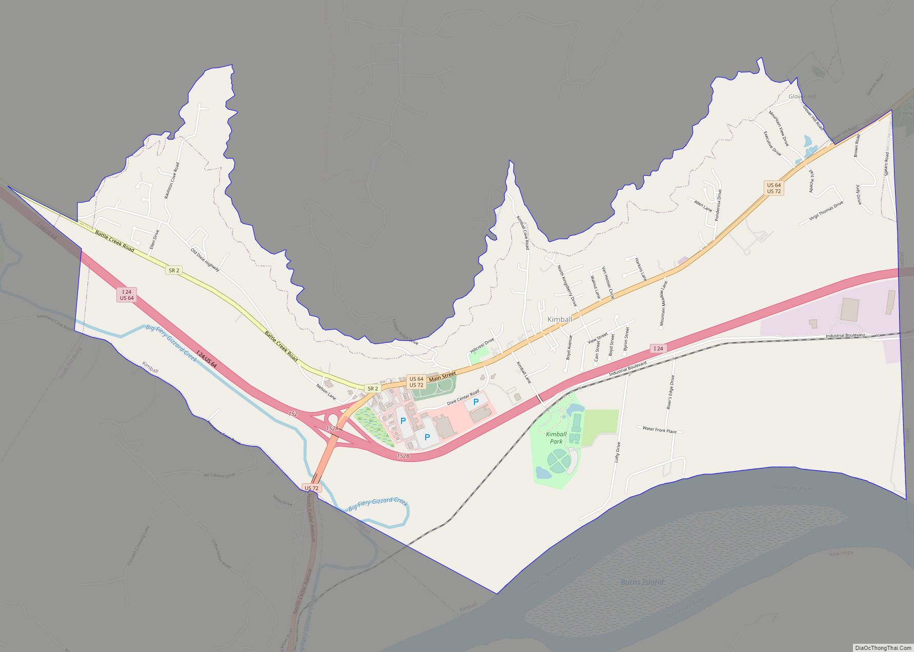
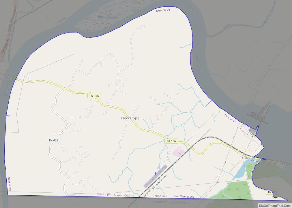
Kimball Road Map
Kimball city Satellite Map
Geography
Kimball is located at 35°2′49″N 85°40′28″W / 35.04694°N 85.67444°W / 35.04694; -85.67444 (35.046956, -85.674476).
According to the United States Census Bureau, the town has a total area of 4.9 square miles (13 km), all land.
See also
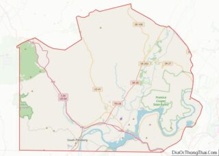
Map of Tennessee State and its subdivision:- Anderson
- Bedford
- Benton
- Bledsoe
- Blount
- Bradley
- Campbell
- Cannon
- Carroll
- Carter
- Cheatham
- Chester
- Claiborne
- Clay
- Cocke
- Coffee
- Crockett
- Cumberland
- Davidson
- Decatur
- DeKalb
- Dickson
- Dyer
- Fayette
- Fentress
- Franklin
- Gibson
- Giles
- Grainger
- Greene
- Grundy
- Hamblen
- Hamilton
- Hancock
- Hardeman
- Hardin
- Hawkins
- Haywood
- Henderson
- Henry
- Hickman
- Houston
- Humphreys
- Jackson
- Jefferson
- Johnson
- Knox
- Lake
- Lauderdale
- Lawrence
- Lewis
- Lincoln
- Loudon
- Macon
- Madison
- Marion
- Marshall
- Maury
- McMinn
- McNairy
- Meigs
- Monroe
- Montgomery
- Moore
- Morgan
- Obion
- Overton
- Perry
- Pickett
- Polk
- Putnam
- Rhea
- Roane
- Robertson
- Rutherford
- Scott
- Sequatchie
- Sevier
- Shelby
- Smith
- Stewart
- Sullivan
- Sumner
- Tipton
- Trousdale
- Unicoi
- Union
- Van Buren
- Warren
- Washington
- Wayne
- Weakley
- White
- Williamson
- Wilson
- Alabama
- Alaska
- Arizona
- Arkansas
- California
- Colorado
- Connecticut
- Delaware
- District of Columbia
- Florida
- Georgia
- Hawaii
- Idaho
- Illinois
- Indiana
- Iowa
- Kansas
- Kentucky
- Louisiana
- Maine
- Maryland
- Massachusetts
- Michigan
- Minnesota
- Mississippi
- Missouri
- Montana
- Nebraska
- Nevada
- New Hampshire
- New Jersey
- New Mexico
- New York
- North Carolina
- North Dakota
- Ohio
- Oklahoma
- Oregon
- Pennsylvania
- Rhode Island
- South Carolina
- South Dakota
- Tennessee
- Texas
- Utah
- Vermont
- Virginia
- Washington
- West Virginia
- Wisconsin
- Wyoming
