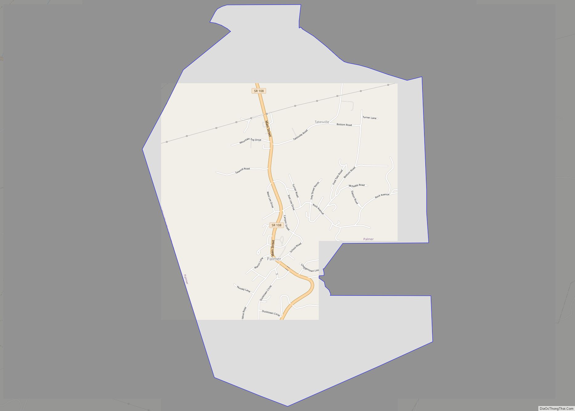
Palmer is a town in Grundy County, Tennessee, United States. The population was 672 at the 2010 census.
| Name: | Palmer town |
|---|---|
| LSAD Code: | 43 |
| LSAD Description: | town (suffix) |
| State: | Tennessee |
| County: | Grundy County |
| Incorporated: | 1925 |
| Elevation: | 1,805 ft (550 m) |
| Total Area: | 4.93 sq mi (12.77 km²) |
| Land Area: | 4.93 sq mi (12.77 km²) |
| Water Area: | 0.00 sq mi (0.00 km²) |
| Total Population: | 551 |
| Population Density: | 111.74/sq mi (43.15/km²) |
| ZIP code: | 37365 |
| Area code: | 931 |
| FIPS code: | 4756560 |
| GNISfeature ID: | 1296690 |
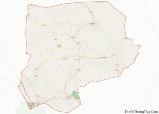
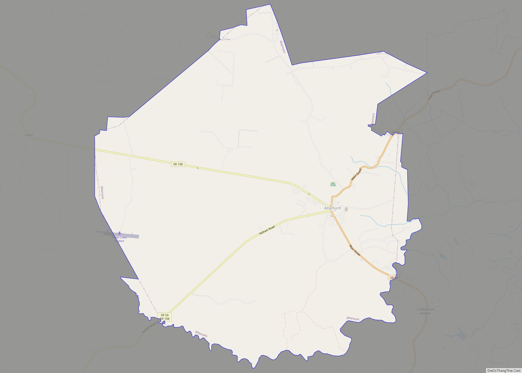
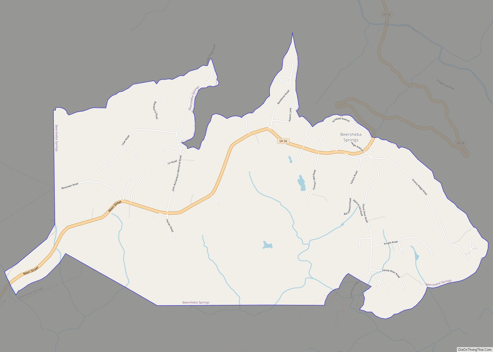
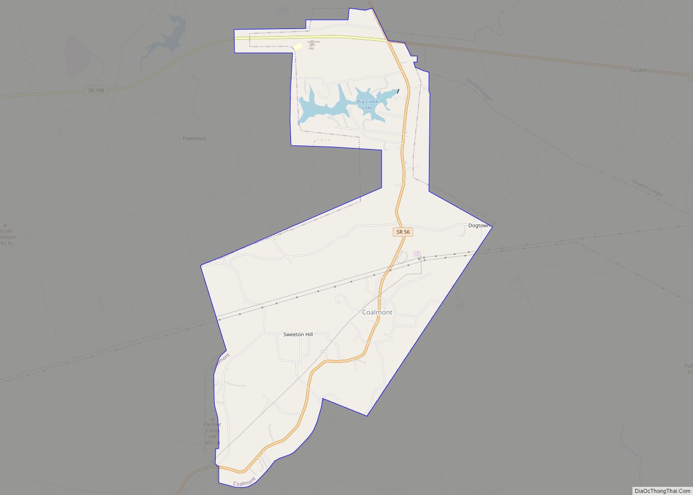
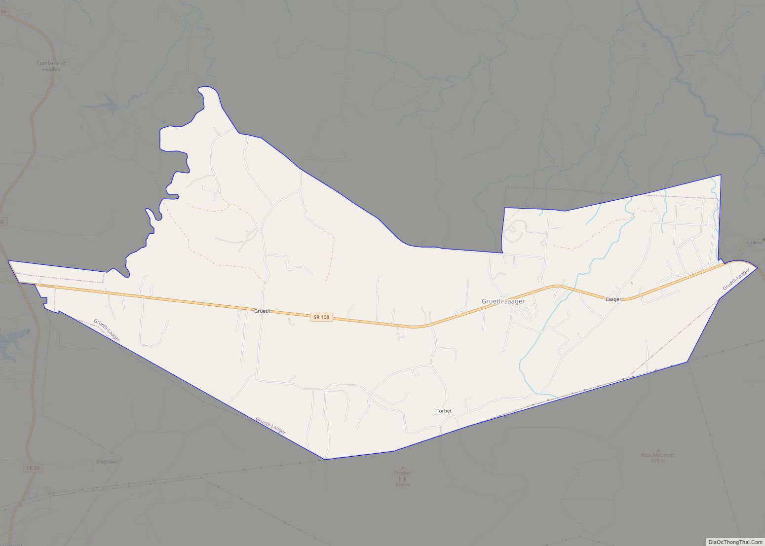
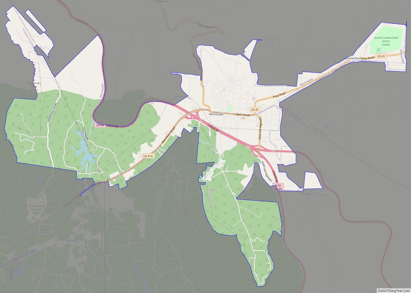
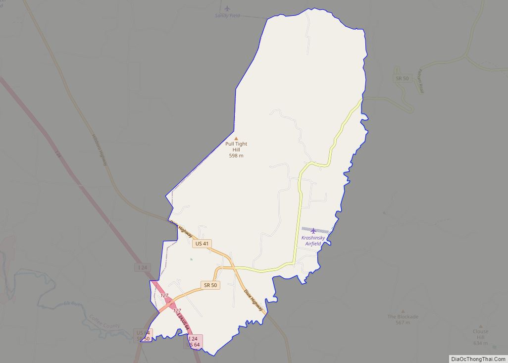
Online Interactive Map
Click on ![]() to view map in "full screen" mode.
to view map in "full screen" mode.
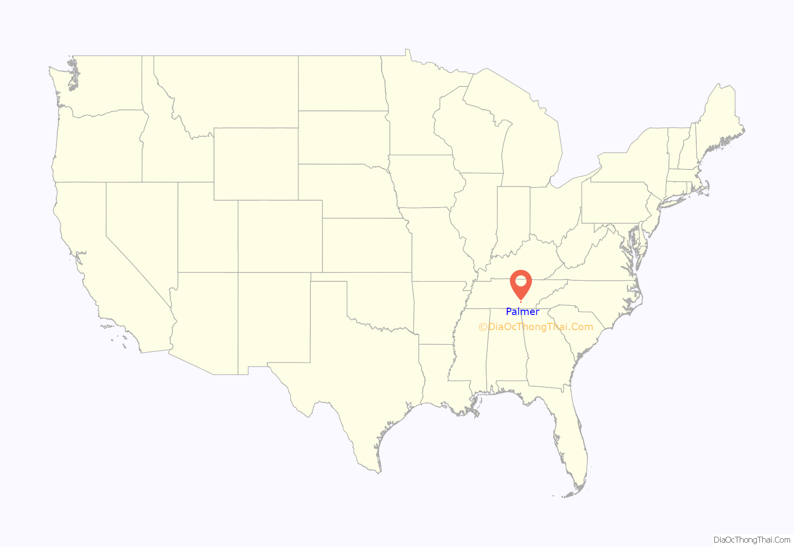
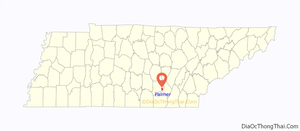
Palmer location map. Where is Palmer town?
History
Palmer was originally known as “Tate’s Village”. When it incorporated in 1925, it was renamed in honor of Clarence William Palmer (1850–1919), who owned much of the land upon which the town was established. The town thrived during the early 20th century due in large part to mining operations conducted in the area by the Tennessee Consolidated Coal Company.
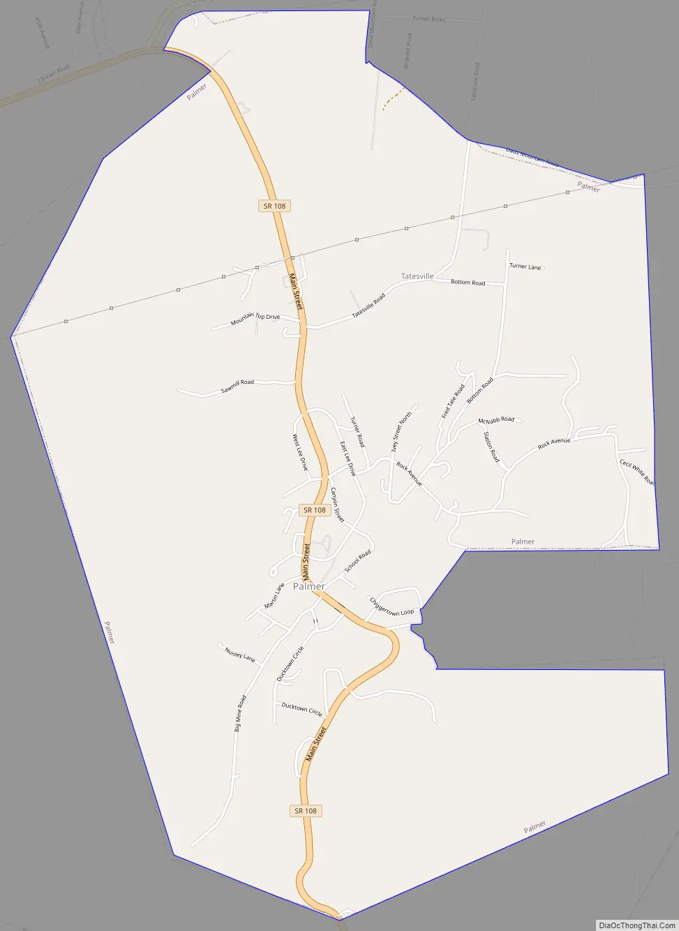
Palmer Road Map
Palmer city Satellite Map

Geography
Palmer is located in southeastern Grundy County at 35°21′23″N 85°33′43″W / 35.35639°N 85.56194°W / 35.35639; -85.56194 (35.356381, -85.561987). It lies in a rugged area atop the Cumberland Plateau, just west of the Plateau’s Sequatchie Valley escarpment. The point where Grundy, Marion, and Sequatchie counties meet is located just south of Palmer. Tennessee State Route 108 passes through Palmer, connecting the town with Gruetli-Laager to the west and Whitwell in the Sequatchie Valley to the southeast. The source of the 67-mile (108 km) Collins River is located just northeast of Palmer.
According to the United States Census Bureau, the town has a total area of 4.9 square miles (12.8 km), all of it land.
See also
Map of Tennessee State and its subdivision:- Anderson
- Bedford
- Benton
- Bledsoe
- Blount
- Bradley
- Campbell
- Cannon
- Carroll
- Carter
- Cheatham
- Chester
- Claiborne
- Clay
- Cocke
- Coffee
- Crockett
- Cumberland
- Davidson
- Decatur
- DeKalb
- Dickson
- Dyer
- Fayette
- Fentress
- Franklin
- Gibson
- Giles
- Grainger
- Greene
- Grundy
- Hamblen
- Hamilton
- Hancock
- Hardeman
- Hardin
- Hawkins
- Haywood
- Henderson
- Henry
- Hickman
- Houston
- Humphreys
- Jackson
- Jefferson
- Johnson
- Knox
- Lake
- Lauderdale
- Lawrence
- Lewis
- Lincoln
- Loudon
- Macon
- Madison
- Marion
- Marshall
- Maury
- McMinn
- McNairy
- Meigs
- Monroe
- Montgomery
- Moore
- Morgan
- Obion
- Overton
- Perry
- Pickett
- Polk
- Putnam
- Rhea
- Roane
- Robertson
- Rutherford
- Scott
- Sequatchie
- Sevier
- Shelby
- Smith
- Stewart
- Sullivan
- Sumner
- Tipton
- Trousdale
- Unicoi
- Union
- Van Buren
- Warren
- Washington
- Wayne
- Weakley
- White
- Williamson
- Wilson
- Alabama
- Alaska
- Arizona
- Arkansas
- California
- Colorado
- Connecticut
- Delaware
- District of Columbia
- Florida
- Georgia
- Hawaii
- Idaho
- Illinois
- Indiana
- Iowa
- Kansas
- Kentucky
- Louisiana
- Maine
- Maryland
- Massachusetts
- Michigan
- Minnesota
- Mississippi
- Missouri
- Montana
- Nebraska
- Nevada
- New Hampshire
- New Jersey
- New Mexico
- New York
- North Carolina
- North Dakota
- Ohio
- Oklahoma
- Oregon
- Pennsylvania
- Rhode Island
- South Carolina
- South Dakota
- Tennessee
- Texas
- Utah
- Vermont
- Virginia
- Washington
- West Virginia
- Wisconsin
- Wyoming