Altamont is a town in Grundy County, Tennessee, United States. The population was 1,117 at the 2020 census. It is the county seat of Grundy County.
| Name: | Altamont town |
|---|---|
| LSAD Code: | 43 |
| LSAD Description: | town (suffix) |
| State: | Tennessee |
| County: | Grundy County |
| Incorporated: | 1854 |
| Elevation: | 1,854 ft (565 m) |
| Total Area: | 19.82 sq mi (51.35 km²) |
| Land Area: | 19.82 sq mi (51.35 km²) |
| Water Area: | 0.00 sq mi (0.00 km²) |
| Total Population: | 1,117 |
| Population Density: | 56.35/sq mi (21.75/km²) |
| ZIP code: | 37301 |
| Area code: | 931 |
| FIPS code: | 4700940 |
| GNISfeature ID: | 1275640 |
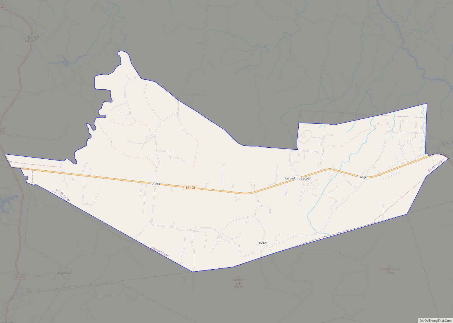
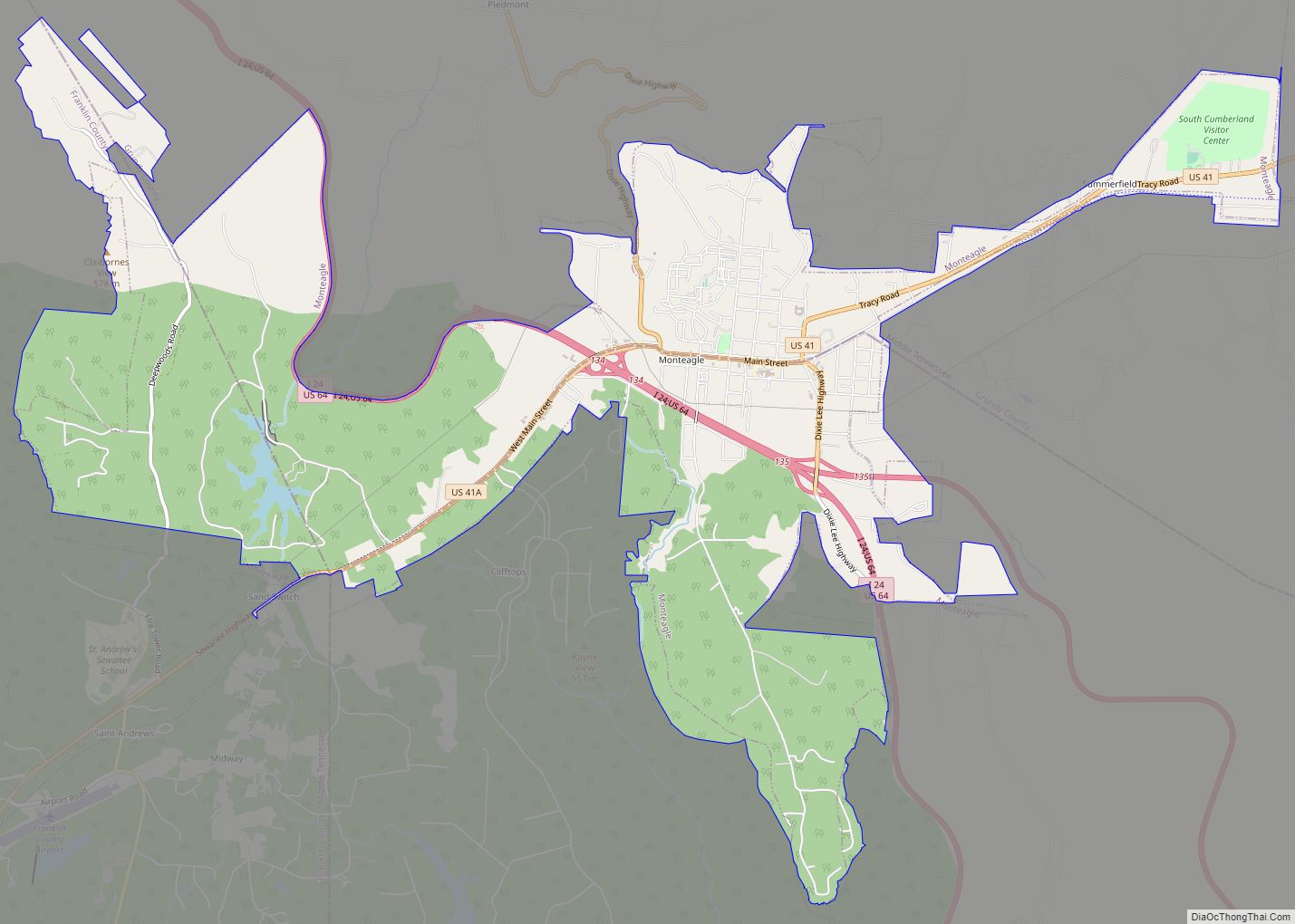
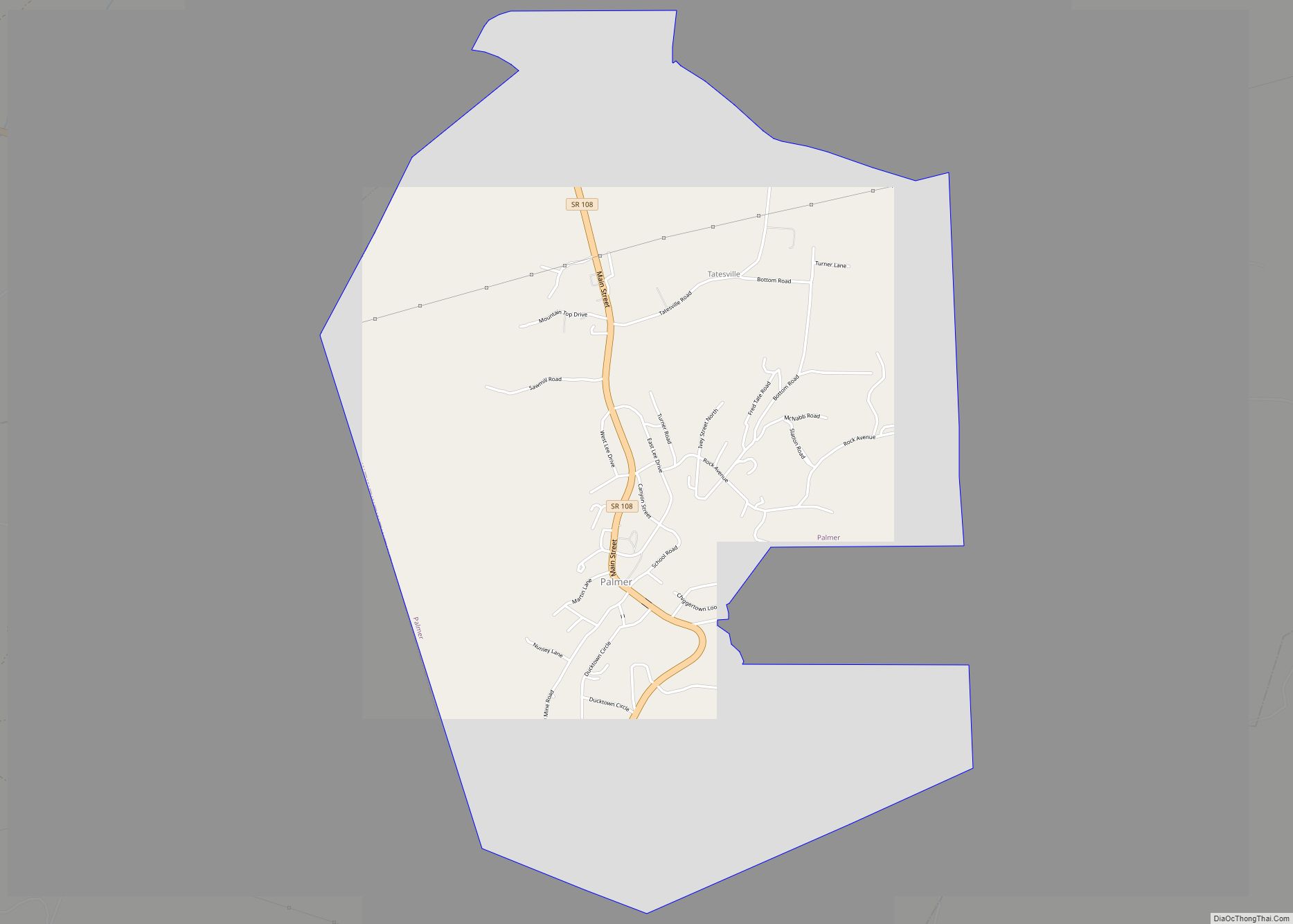
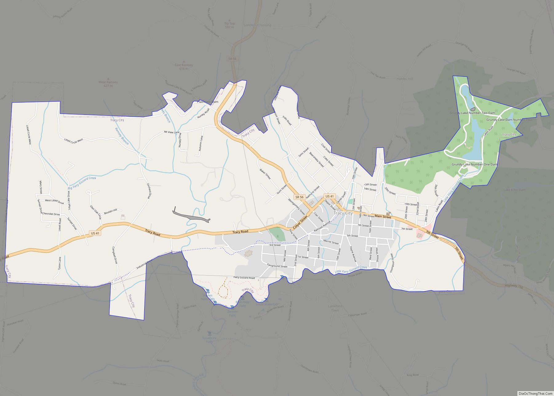
Online Interactive Map
Click on ![]() to view map in "full screen" mode.
to view map in "full screen" mode.
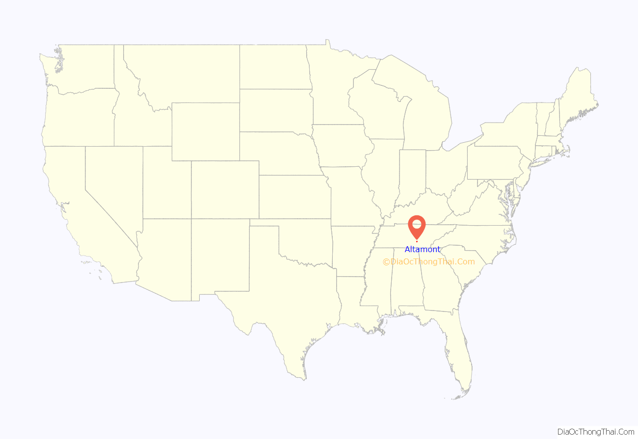
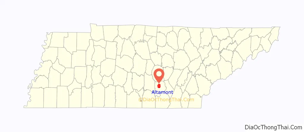
Altamont location map. Where is Altamont town?
History
Altamont was established in 1848 as a county seat for Grundy County, which had been created in 1844. General Adrian Northcutt, a prominent local farmer and military officer, was the prime advocate for the site’s selection. The town’s name comes from combining alto (meaning “altitude”) and mont (meaning “mountain”). Although the Civil War somewhat stunted the town’s growth, by 1870 Altamont’s population had grown to 217.
Altamont has one of the oldest Mormon congregations in the southeastern United States. The congregation was formed in the 1890s, and a Mormon chapel was built in Northcutt Cove just north of Altamont in 1909. Shortly thereafter, several members of the congregation migrated to Altamont. A Mormon chapel was completed along Main Street in 1947, and a newer chapel was completed just off Viola Road in 1981.
In 1988, Altamont’s school building was renovated and now houses the Altamont City Hall and the Altamont Library and Museum. The building was renamed the “Florence R. Scruggs Municipal Building” in 1996, after a long-time teacher at the school.
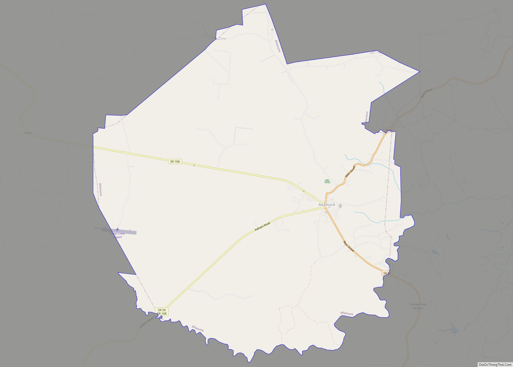
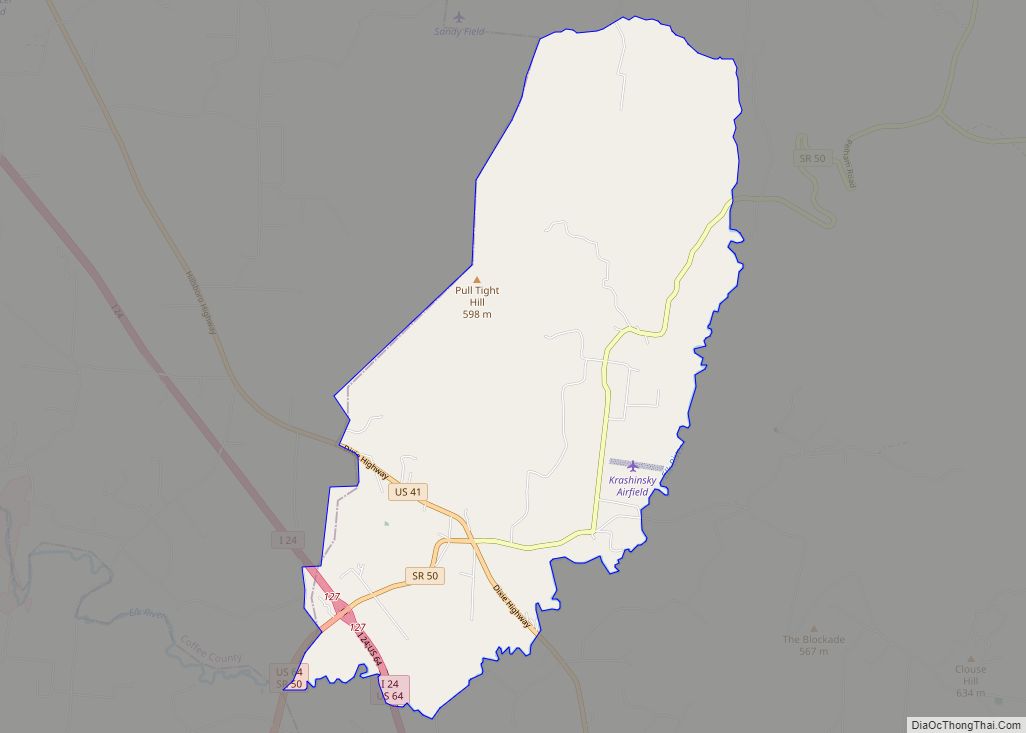
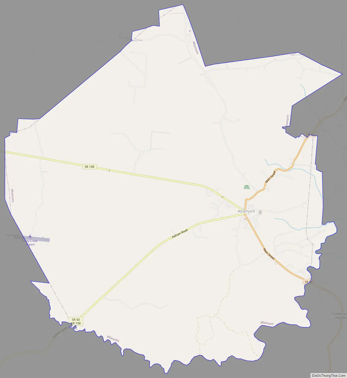
Altamont Road Map
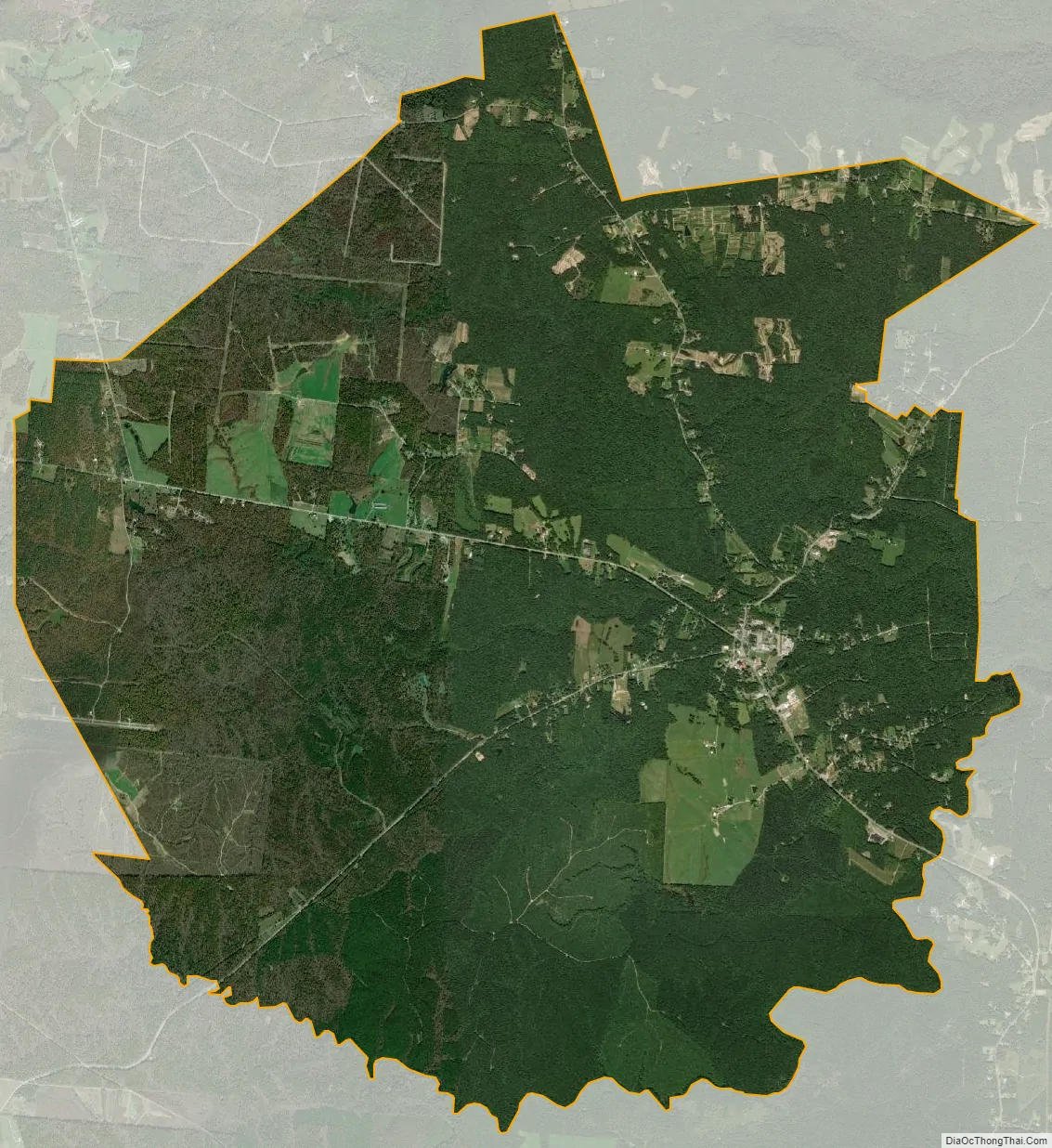
Altamont city Satellite Map
Geography
Altamont is located in north-central Grundy County at 35°26′2″N 85°43′57″W / 35.43389°N 85.73250°W / 35.43389; -85.73250 (35.433954, -85.732428). It is situated atop the southern Cumberland Plateau between the plateau’s Highland Rim escarpment to the west and Savage Gulf to the east. The latter is a gorge sliced by the upper watershed of the Collins River (Altamont is part of this watershed) as the river descends from the plateau to the Highland Rim en route to its mouth at the Caney Fork in adjacent Warren County. Altamont is surrounded by hills on all sides, and the central area of the town itself straddles a flattened-out hillslope.
Several state highways intersect at the center of Altamont. Tennessee State Route 56 (Main Street) connects Altamont to Beersheba Springs and McMinnville to the north and Coalmont, Tracy City and Monteagle to the south. Tennessee State Route 108, connects the town to Viola and McMinnville to the northwest and Whitwell to the southeast. Tennessee State Route 50 connects Altamont to Pelham and Interstate 24 to the southwest.
According to the United States Census Bureau, the town has a total area of 20.2 square miles (52.2 km), all land.
See also
Map of Tennessee State and its subdivision:- Anderson
- Bedford
- Benton
- Bledsoe
- Blount
- Bradley
- Campbell
- Cannon
- Carroll
- Carter
- Cheatham
- Chester
- Claiborne
- Clay
- Cocke
- Coffee
- Crockett
- Cumberland
- Davidson
- Decatur
- DeKalb
- Dickson
- Dyer
- Fayette
- Fentress
- Franklin
- Gibson
- Giles
- Grainger
- Greene
- Grundy
- Hamblen
- Hamilton
- Hancock
- Hardeman
- Hardin
- Hawkins
- Haywood
- Henderson
- Henry
- Hickman
- Houston
- Humphreys
- Jackson
- Jefferson
- Johnson
- Knox
- Lake
- Lauderdale
- Lawrence
- Lewis
- Lincoln
- Loudon
- Macon
- Madison
- Marion
- Marshall
- Maury
- McMinn
- McNairy
- Meigs
- Monroe
- Montgomery
- Moore
- Morgan
- Obion
- Overton
- Perry
- Pickett
- Polk
- Putnam
- Rhea
- Roane
- Robertson
- Rutherford
- Scott
- Sequatchie
- Sevier
- Shelby
- Smith
- Stewart
- Sullivan
- Sumner
- Tipton
- Trousdale
- Unicoi
- Union
- Van Buren
- Warren
- Washington
- Wayne
- Weakley
- White
- Williamson
- Wilson
- Alabama
- Alaska
- Arizona
- Arkansas
- California
- Colorado
- Connecticut
- Delaware
- District of Columbia
- Florida
- Georgia
- Hawaii
- Idaho
- Illinois
- Indiana
- Iowa
- Kansas
- Kentucky
- Louisiana
- Maine
- Maryland
- Massachusetts
- Michigan
- Minnesota
- Mississippi
- Missouri
- Montana
- Nebraska
- Nevada
- New Hampshire
- New Jersey
- New Mexico
- New York
- North Carolina
- North Dakota
- Ohio
- Oklahoma
- Oregon
- Pennsylvania
- Rhode Island
- South Carolina
- South Dakota
- Tennessee
- Texas
- Utah
- Vermont
- Virginia
- Washington
- West Virginia
- Wisconsin
- Wyoming