Beersheba Springs /ˈbɜːrʃəbə/ is a town in Grundy County, Tennessee, United States. The population was 477 at the 2010 census. A resort town in the 19th century, Beersheba Springs was the summer home of author Mary Noailles Murfree. It now serves as a major summer meeting center for the Tennessee United Methodist Church.
| Name: | Beersheba Springs town |
|---|---|
| LSAD Code: | 43 |
| LSAD Description: | town (suffix) |
| State: | Tennessee |
| County: | Grundy County |
| Incorporated: | 1835 |
| Elevation: | 1,850 ft (560 m) |
| Total Area: | 4.80 sq mi (12.43 km²) |
| Land Area: | 4.80 sq mi (12.43 km²) |
| Water Area: | 0.00 sq mi (0.00 km²) |
| Total Population: | 434 |
| Population Density: | 90.44/sq mi (34.92/km²) |
| ZIP code: | 37305 |
| Area code: | 931 |
| FIPS code: | 4704240 |
| GNISfeature ID: | 1305073 |
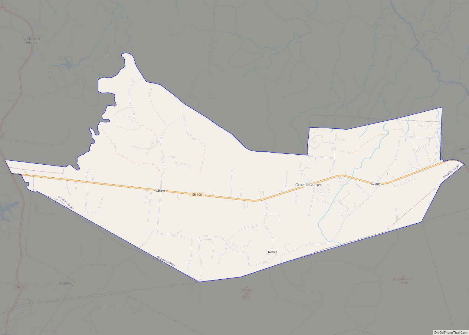
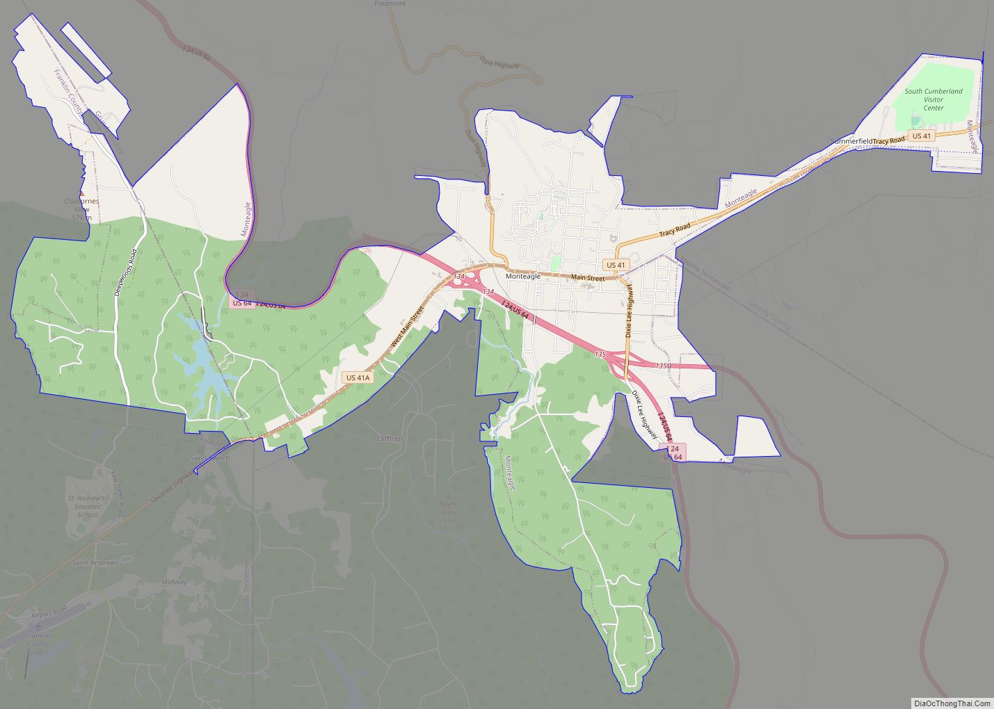
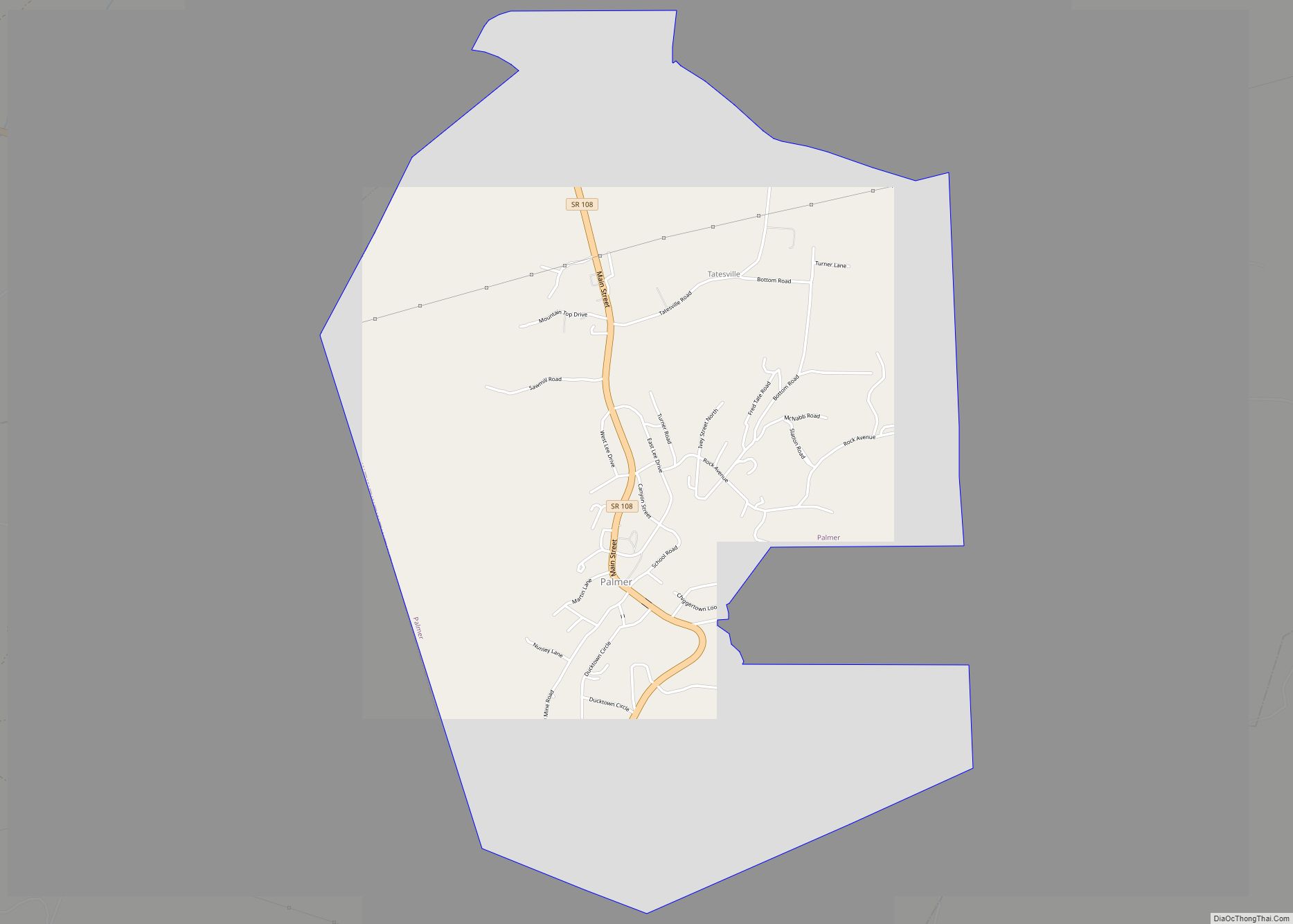
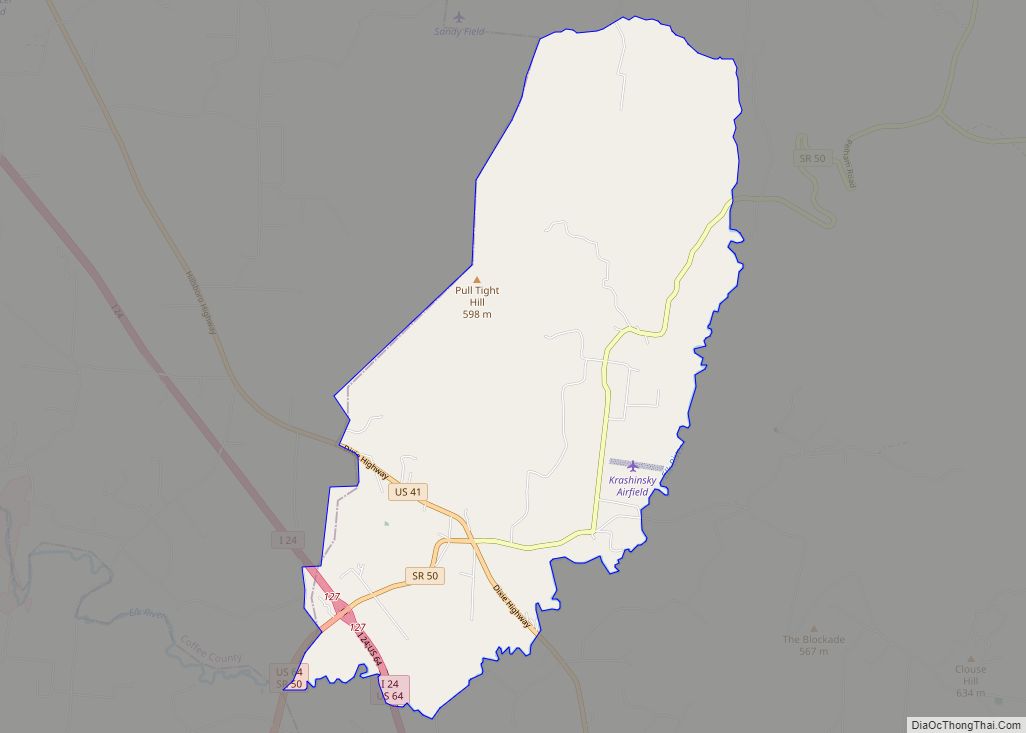
Online Interactive Map
Click on ![]() to view map in "full screen" mode.
to view map in "full screen" mode.
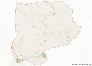
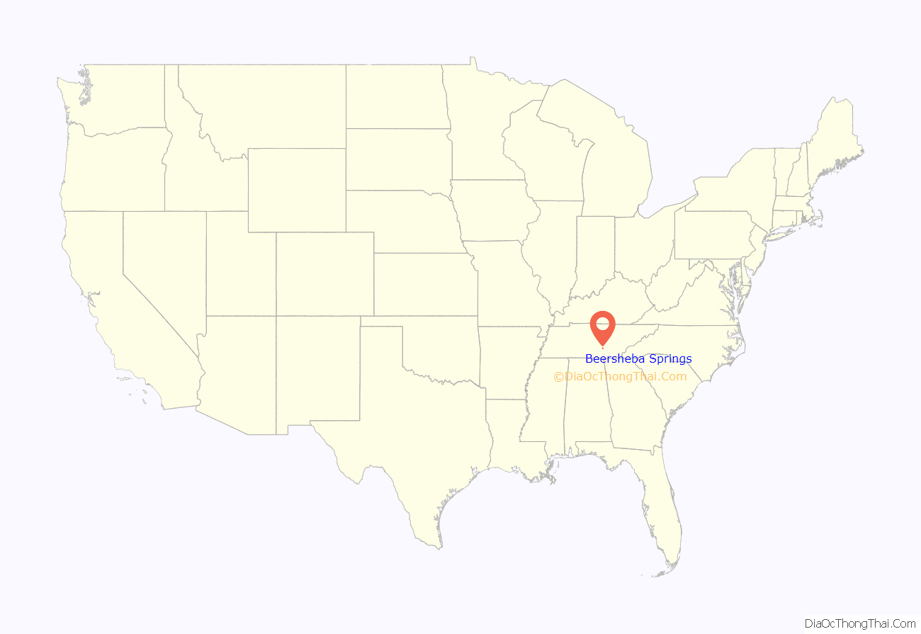
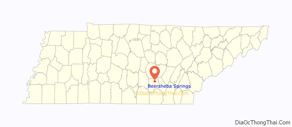
Beersheba Springs location map. Where is Beersheba Springs town?
History
In 1833 Beersheba Porter Cain discovered a chalybeate spring. The spring and surrounding area, located above Collins River Valley, would be incorporated in 1839. Upon its incorporation, Beersheba Springs would serve as a summer resort with a small hotel and log cabins. The resort would be popular with stagecoach traffic that would travel between Chattanooga and McMinnville. It was notable for its mineral waters. Eventually Louisiana farmers also moved into the area, leaving behind the notoriously hot summers of their home state. Beersheba Springs served as the summer home for Tennessee Mary Noailles Murfree.
Beersheba Springs resort
In 1854 Colonel John Armfield, a slave trader from Louisiana, acquired the property. Upwards of 100 slaves were brought to Beersheba Springs to work on Armfield’s changes to the property: a new luxury hotel, cabins and grounds that would accommodate 400 guests. The resort would feature laundry facilities, ice houses, billiard rooms, and bowling alleys. French chefs were brought in to serve guests, as were musical acts from New Orleans.
A wooden observatory was built at the front of the hotel. From the observatory, guests could watch Confederate and Union armies battle during the Civil War. Eventually the threat of war, raids, and plundering would cause a decline in visitation to Beersheba Springs and the resort was handed over to Northern investors.
The resort would re-open in the 1870s but never returned to its former glory. In 1940, the Methodist Church purchased the resort and re-opened it for assembly and summer camps. Architecturally the resort remains unchanged besides, as of recently, parts of the hotel have been “modernized” or restored. The camp now serves as the home to the annual Beersheba Springs Arts and Craft Festival. In 1980 the resort area was placed on the National Register of Historic Places.
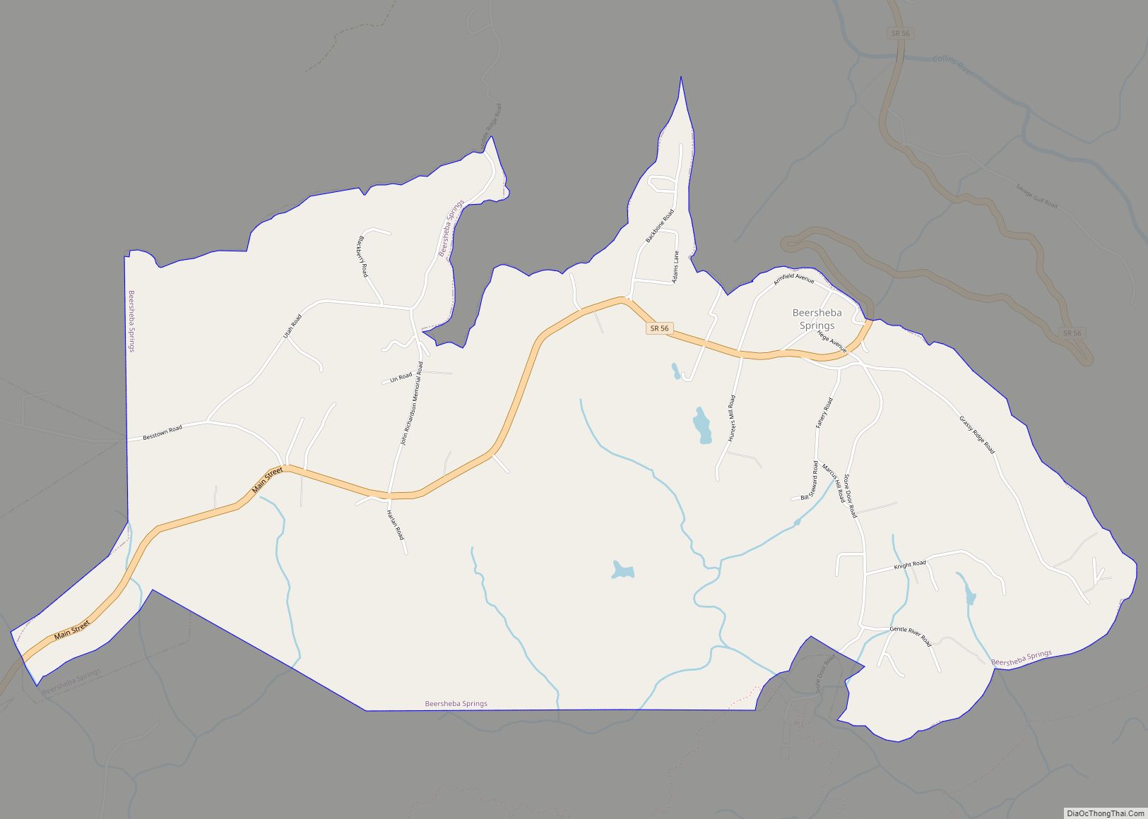
Beersheba Springs Road Map
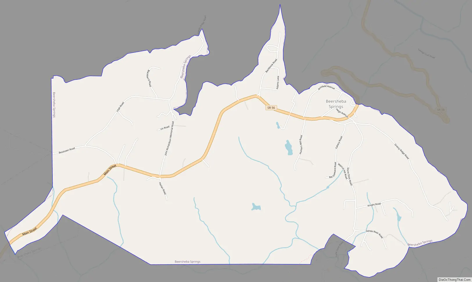
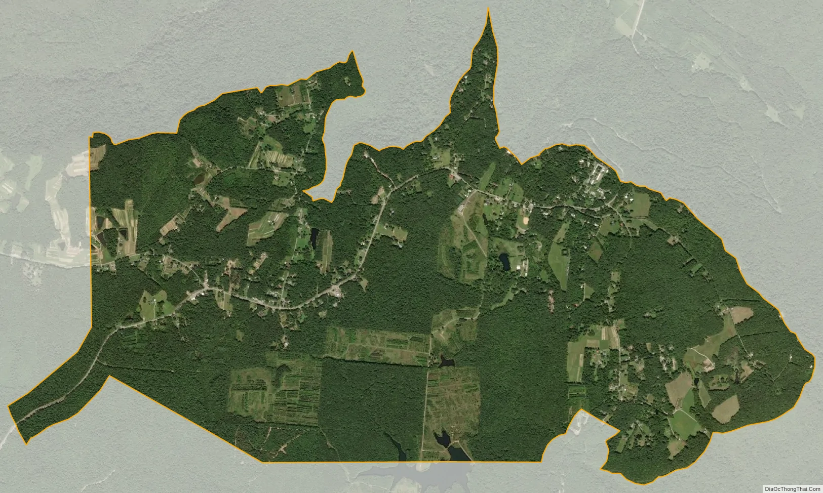
Beersheba Springs city Satellite Map
Geography
Beersheba Springs is located at 35°28′2″N 85°40′18″W / 35.46722°N 85.67167°W / 35.46722; -85.67167 (35.467209, -85.671700). According to the United States Census Bureau, the town has a total area of 4.9 square miles (13 km), all land.
See also
Map of Tennessee State and its subdivision:- Anderson
- Bedford
- Benton
- Bledsoe
- Blount
- Bradley
- Campbell
- Cannon
- Carroll
- Carter
- Cheatham
- Chester
- Claiborne
- Clay
- Cocke
- Coffee
- Crockett
- Cumberland
- Davidson
- Decatur
- DeKalb
- Dickson
- Dyer
- Fayette
- Fentress
- Franklin
- Gibson
- Giles
- Grainger
- Greene
- Grundy
- Hamblen
- Hamilton
- Hancock
- Hardeman
- Hardin
- Hawkins
- Haywood
- Henderson
- Henry
- Hickman
- Houston
- Humphreys
- Jackson
- Jefferson
- Johnson
- Knox
- Lake
- Lauderdale
- Lawrence
- Lewis
- Lincoln
- Loudon
- Macon
- Madison
- Marion
- Marshall
- Maury
- McMinn
- McNairy
- Meigs
- Monroe
- Montgomery
- Moore
- Morgan
- Obion
- Overton
- Perry
- Pickett
- Polk
- Putnam
- Rhea
- Roane
- Robertson
- Rutherford
- Scott
- Sequatchie
- Sevier
- Shelby
- Smith
- Stewart
- Sullivan
- Sumner
- Tipton
- Trousdale
- Unicoi
- Union
- Van Buren
- Warren
- Washington
- Wayne
- Weakley
- White
- Williamson
- Wilson
- Alabama
- Alaska
- Arizona
- Arkansas
- California
- Colorado
- Connecticut
- Delaware
- District of Columbia
- Florida
- Georgia
- Hawaii
- Idaho
- Illinois
- Indiana
- Iowa
- Kansas
- Kentucky
- Louisiana
- Maine
- Maryland
- Massachusetts
- Michigan
- Minnesota
- Mississippi
- Missouri
- Montana
- Nebraska
- Nevada
- New Hampshire
- New Jersey
- New Mexico
- New York
- North Carolina
- North Dakota
- Ohio
- Oklahoma
- Oregon
- Pennsylvania
- Rhode Island
- South Carolina
- South Dakota
- Tennessee
- Texas
- Utah
- Vermont
- Virginia
- Washington
- West Virginia
- Wisconsin
- Wyoming