Philadelphia is a city in Loudon County, Tennessee, United States. Its population was 656 at the 2010 census. It is included in the Knoxville Metropolitan Statistical Area.
| Name: | Philadelphia city |
|---|---|
| LSAD Code: | 25 |
| LSAD Description: | city (suffix) |
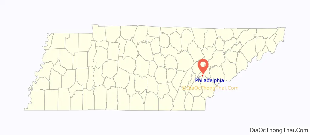
| State: | Tennessee |
| County: | Loudon County |
| Founded: | 1822 |
| Incorporated: | 1968 |
| Elevation: | 850 ft (259 m) |
| Total Area: | 1.55 sq mi (4.03 km²) |
| Land Area: | 1.55 sq mi (4.03 km²) |
| Water Area: | 0.00 sq mi (0.00 km²) |
| Total Population: | 607 |
| Population Density: | 390.35/sq mi (150.71/km²) |
| ZIP code: | 37846 |
| Area code: | 865 |
| FIPS code: | 4757900 |
| GNISfeature ID: | 1297307 |
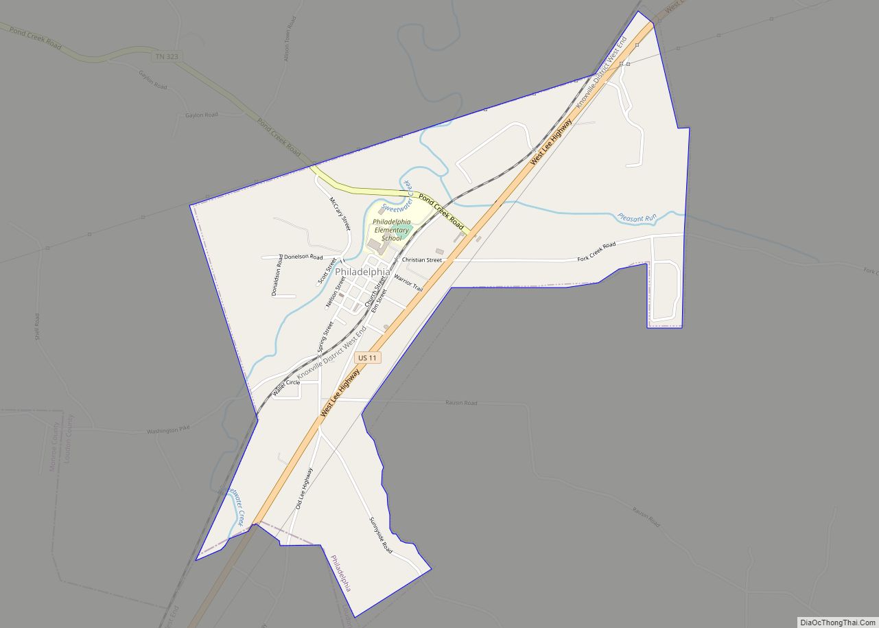
Online Interactive Map
Click on ![]() to view map in "full screen" mode.
to view map in "full screen" mode.
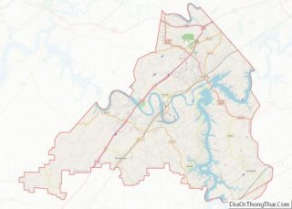
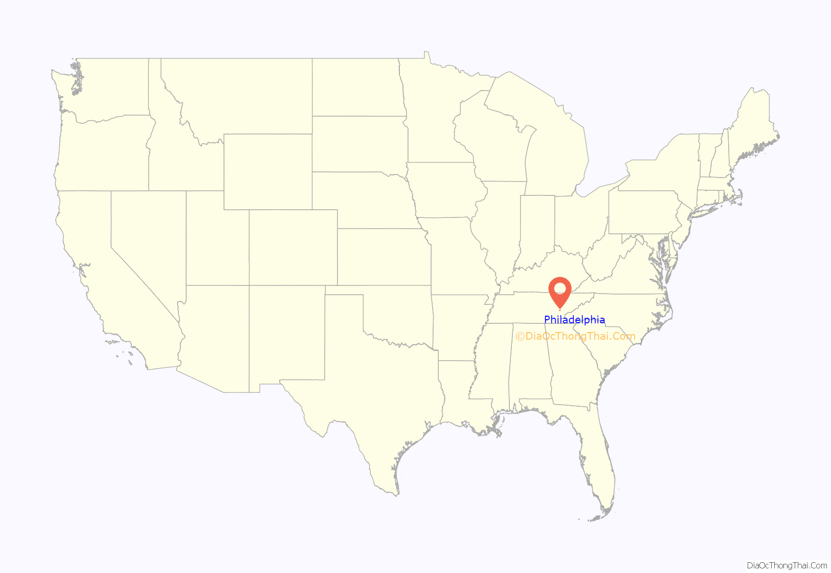
Philadelphia location map. Where is Philadelphia city?
History
Philadelphia was founded in the early 1820s by William Knox and Jacob Pearson. The town initially grew quickly and prospered as a center of business in the Sweetwater Valley. By the mid-19th century, Philadelphia had two general stores, a tanning yard, a stillhouse, and a hotel.
On October 20, 1863, during the Civil War, two Confederate cavalry regiments attacked and routed a Union brigade at Philadelphia while conducting maneuvers following the Battle of Chickamauga. The Confederates captured 700 soldiers, 6 cannon, and 50 supply wagons.
On October 20, 2001, there was a reenactment of the events in 1863.
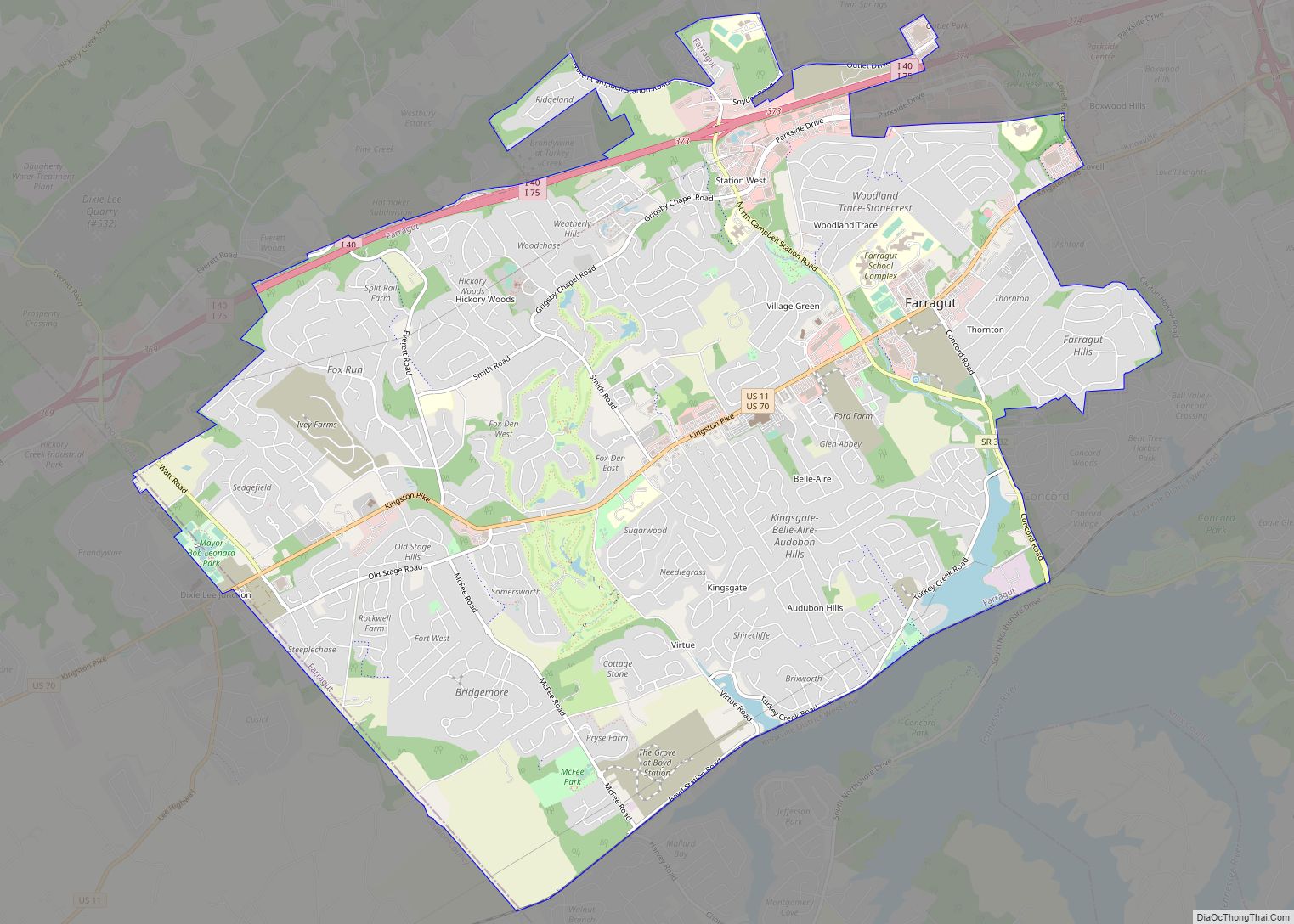
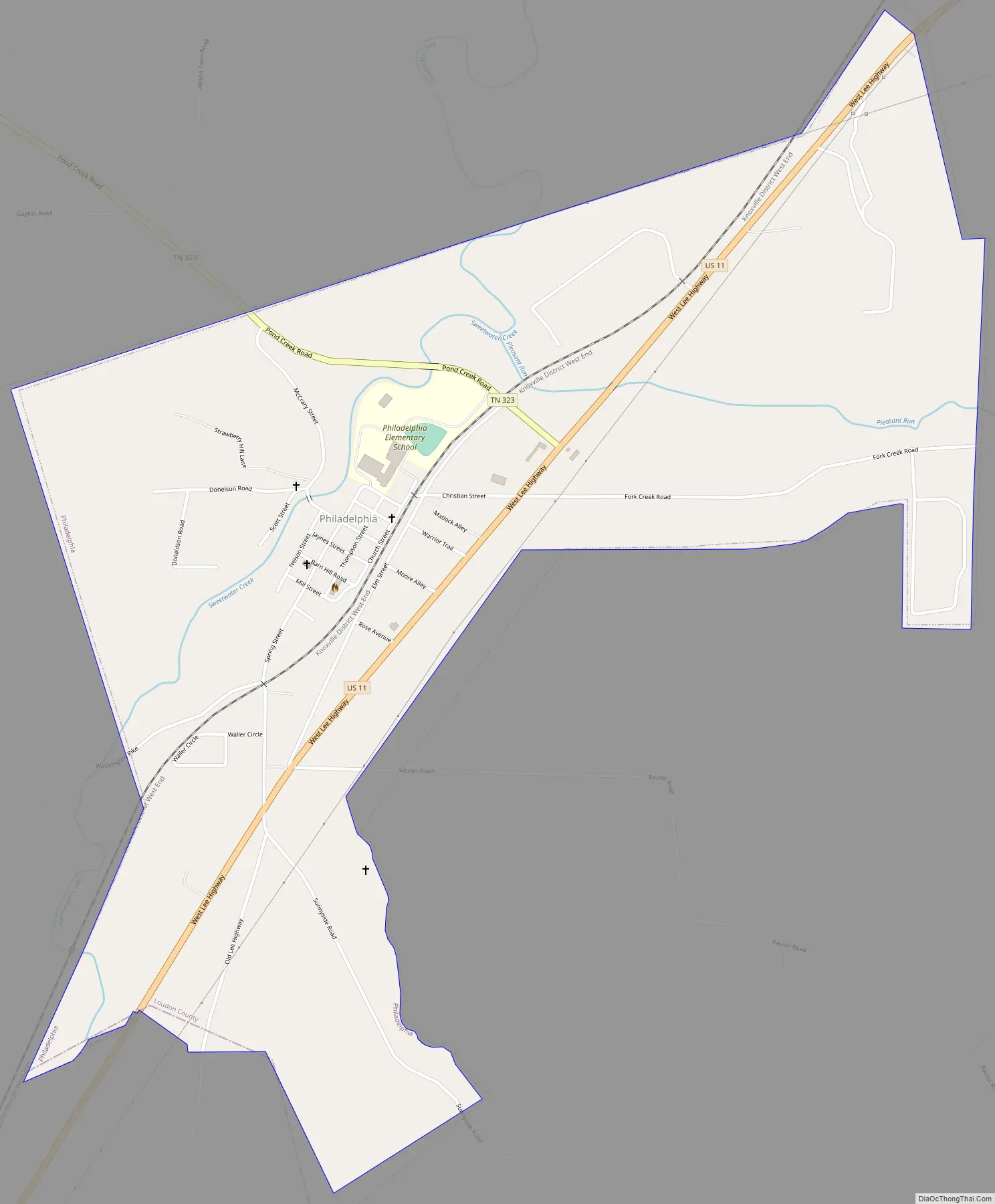
Philadelphia Road Map
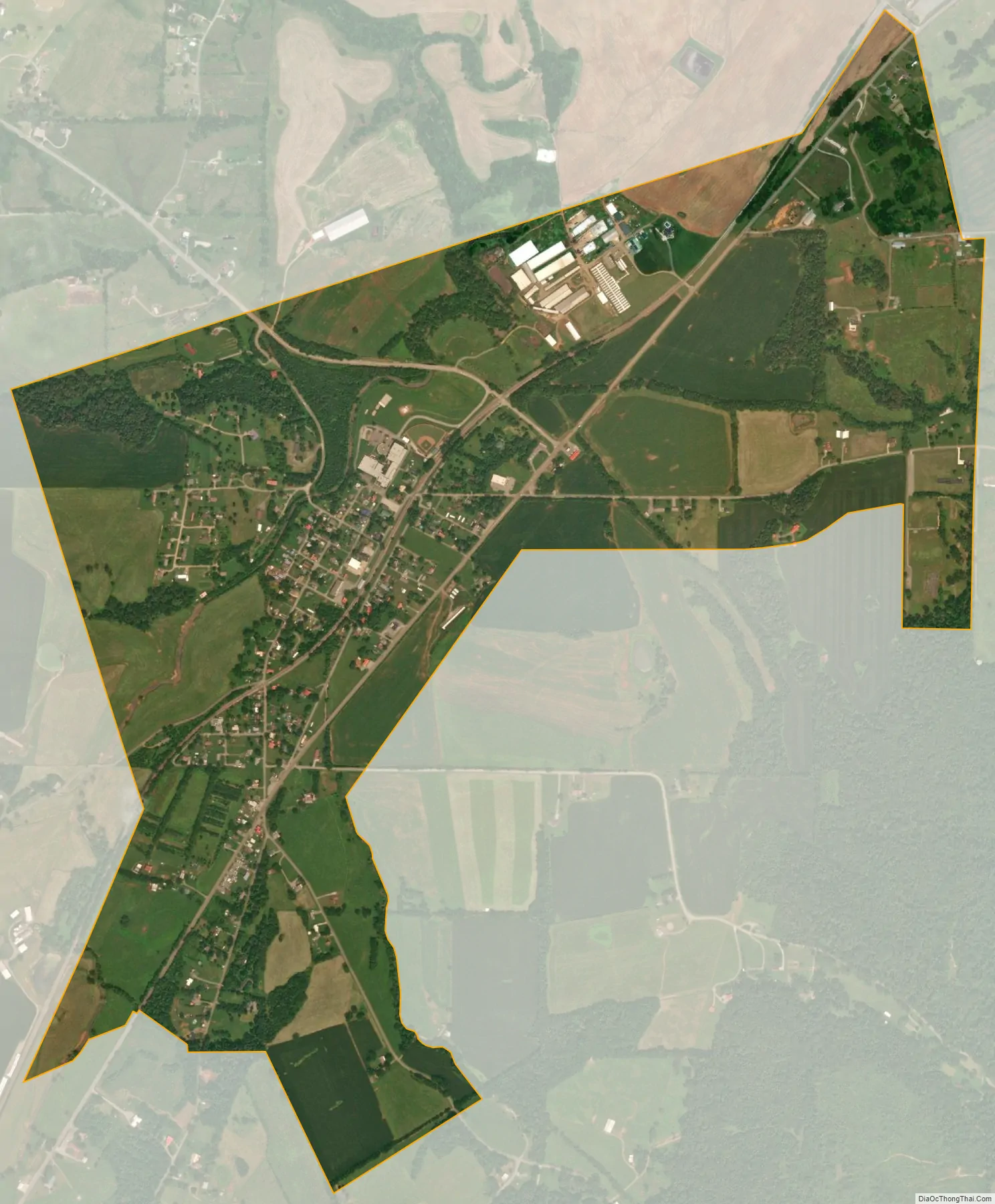
Philadelphia city Satellite Map
Geography
Philadelphia is located at 35°40′42″N 84°24′5″W / 35.67833°N 84.40139°W / 35.67833; -84.40139 (35.678236, -84.401430). The town is situated along Sweetwater Creek, which empties into the Watts Bar Lake impoundment of the Tennessee River a few miles to the north.
Philadelphia is concentrated around an area northwest of the junction of U.S. Route 11 (Lee Highway), which connects Philadelphia with Loudon to the north and Sweetwater to the south, and State Route 323 (Pond Creek Road), which connects Philadelphia with Interstate 75 to the west.
According to the United States Census Bureau, the city has a total area of 1.6 square miles (4.1 km), all land.
See also
Map of Tennessee State and its subdivision:- Anderson
- Bedford
- Benton
- Bledsoe
- Blount
- Bradley
- Campbell
- Cannon
- Carroll
- Carter
- Cheatham
- Chester
- Claiborne
- Clay
- Cocke
- Coffee
- Crockett
- Cumberland
- Davidson
- Decatur
- DeKalb
- Dickson
- Dyer
- Fayette
- Fentress
- Franklin
- Gibson
- Giles
- Grainger
- Greene
- Grundy
- Hamblen
- Hamilton
- Hancock
- Hardeman
- Hardin
- Hawkins
- Haywood
- Henderson
- Henry
- Hickman
- Houston
- Humphreys
- Jackson
- Jefferson
- Johnson
- Knox
- Lake
- Lauderdale
- Lawrence
- Lewis
- Lincoln
- Loudon
- Macon
- Madison
- Marion
- Marshall
- Maury
- McMinn
- McNairy
- Meigs
- Monroe
- Montgomery
- Moore
- Morgan
- Obion
- Overton
- Perry
- Pickett
- Polk
- Putnam
- Rhea
- Roane
- Robertson
- Rutherford
- Scott
- Sequatchie
- Sevier
- Shelby
- Smith
- Stewart
- Sullivan
- Sumner
- Tipton
- Trousdale
- Unicoi
- Union
- Van Buren
- Warren
- Washington
- Wayne
- Weakley
- White
- Williamson
- Wilson
- Alabama
- Alaska
- Arizona
- Arkansas
- California
- Colorado
- Connecticut
- Delaware
- District of Columbia
- Florida
- Georgia
- Hawaii
- Idaho
- Illinois
- Indiana
- Iowa
- Kansas
- Kentucky
- Louisiana
- Maine
- Maryland
- Massachusetts
- Michigan
- Minnesota
- Mississippi
- Missouri
- Montana
- Nebraska
- Nevada
- New Hampshire
- New Jersey
- New Mexico
- New York
- North Carolina
- North Dakota
- Ohio
- Oklahoma
- Oregon
- Pennsylvania
- Rhode Island
- South Carolina
- South Dakota
- Tennessee
- Texas
- Utah
- Vermont
- Virginia
- Washington
- West Virginia
- Wisconsin
- Wyoming