Seymour is a census-designated place (CDP) and unincorporated community in Blount and Sevier counties in the U.S. state of Tennessee. The CDP population was 14,705 at the 2020 U.S. census. It is included in the Knoxville, Tennessee Metropolitan Statistical Area.
| Name: | Seymour CDP |
|---|---|
| LSAD Code: | 57 |
| LSAD Description: | CDP (suffix) |
| State: | Tennessee |
| County: | Blount County, Sevier County |
| Elevation: | 935 ft (285 m) |
| Total Area: | 16.03 sq mi (41.51 km²) |
| Land Area: | 16.02 sq mi (41.49 km²) |
| Water Area: | 0.01 sq mi (0.02 km²) |
| Total Population: | 14,705 |
| Population Density: | 917.97/sq mi (354.42/km²) |
| ZIP code: | 37865 |
| Area code: | 865 |
| FIPS code: | 4767200 |
| GNISfeature ID: | 1315894 |
| Website: | www.seymourtn.org |
Online Interactive Map
Click on ![]() to view map in "full screen" mode.
to view map in "full screen" mode.
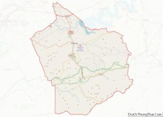
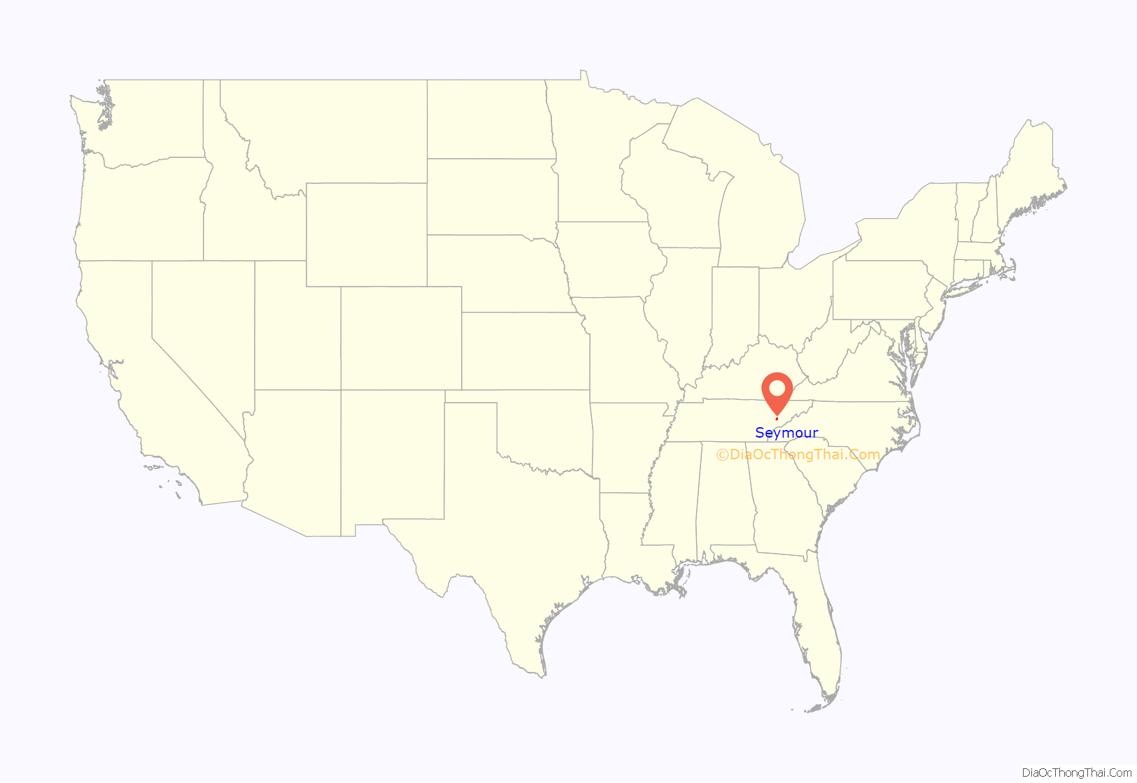
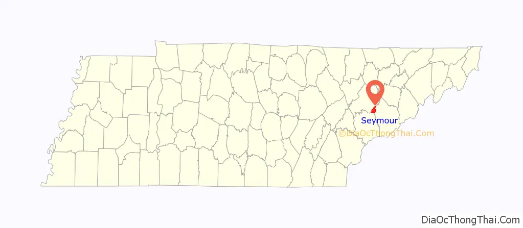
Seymour location map. Where is Seymour CDP?
History
Seymour was originally the site of Newell’s Station, a frontier station established by early Sevier County pioneer Samuel Newell (1754–1841) in 1783. The first court of Sevier County, State of Franklin, was held at Newell’s Station in March 1785. During the 19th century, the community was known as Trundles Crossroads where the main road from Sevierville forked, with one branch continuing northward to Knoxville and one branch westward to Maryville (now the intersection of Boyds Creek Highway and Old Sevierville Pike).
Upon completion of the Knoxville, Sevierville and Eastern Railway on December 18, 1909, the community’s station was named Seymour in honor of the line’s chief engineer, Charles Seymour. The Trundles Crossroads Post Office changed its name soon after to reflect the community’s new designation.
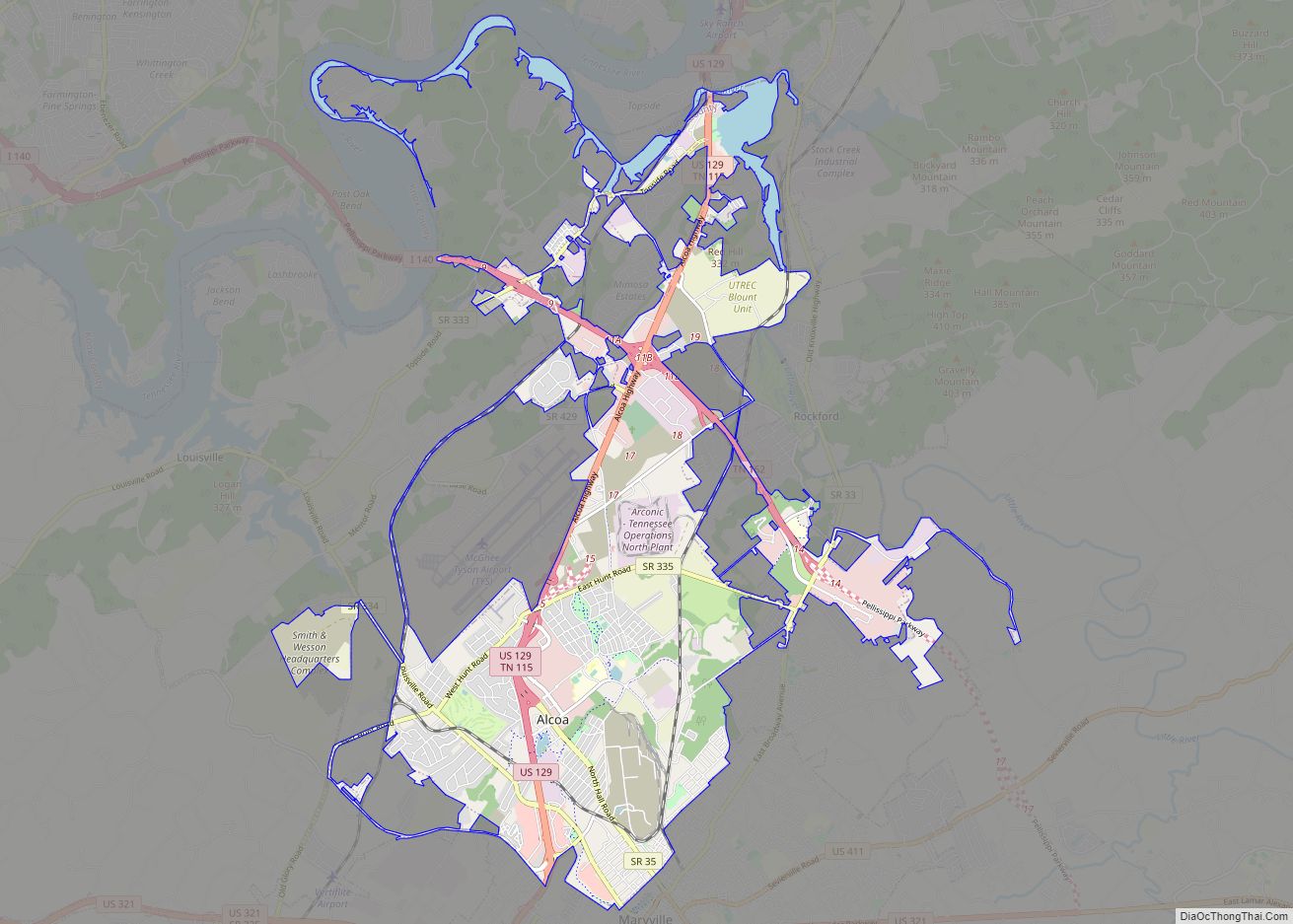
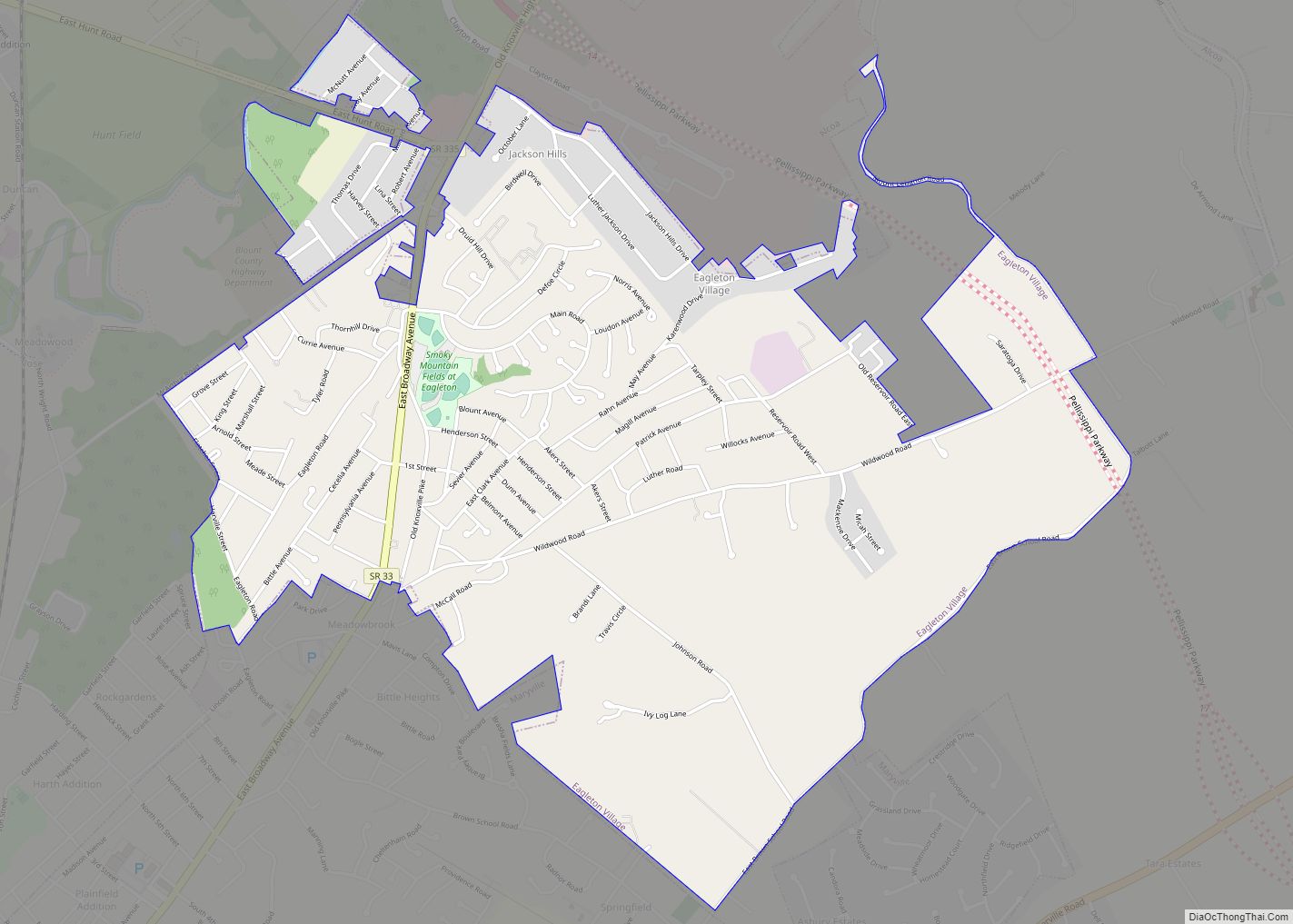
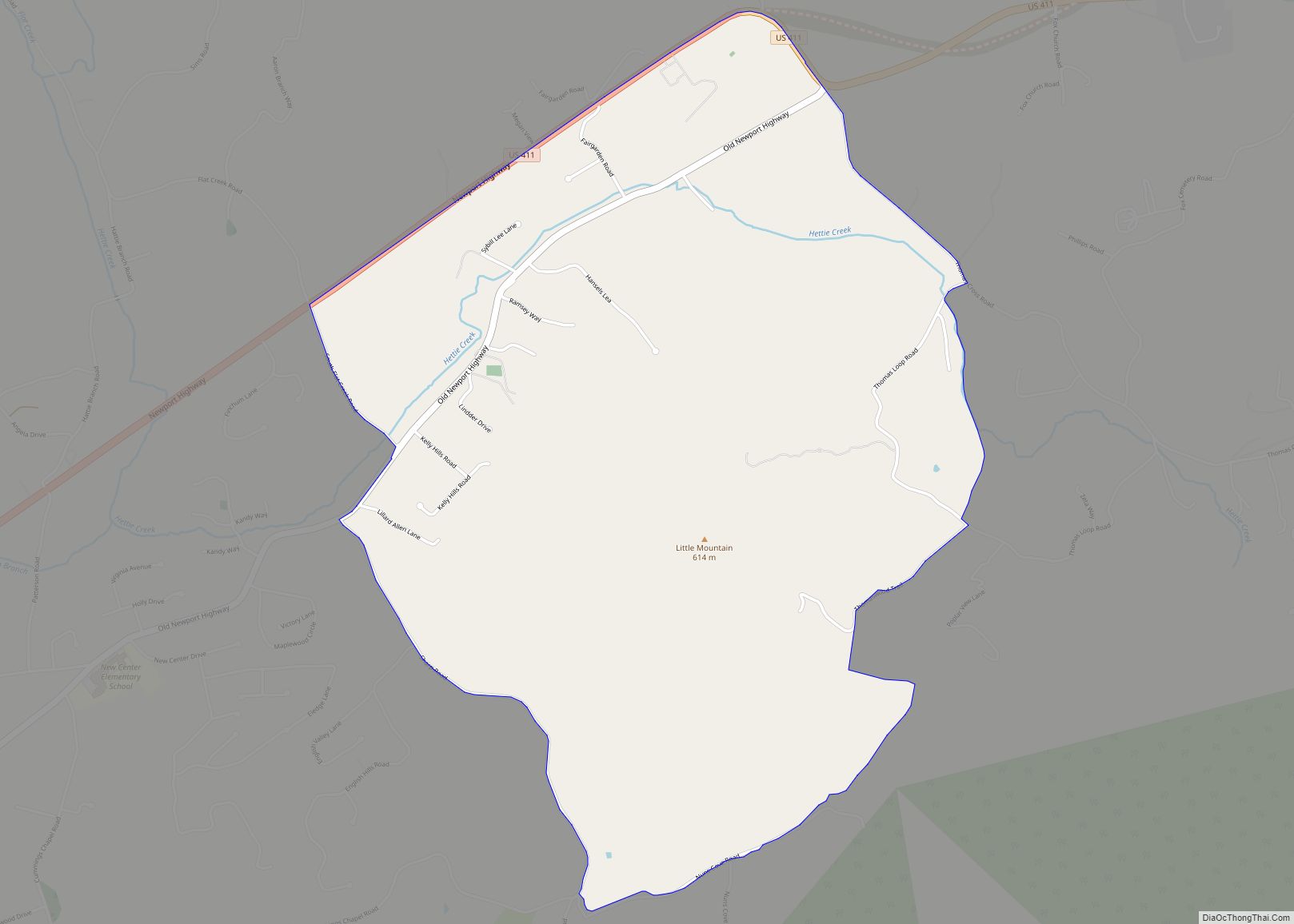
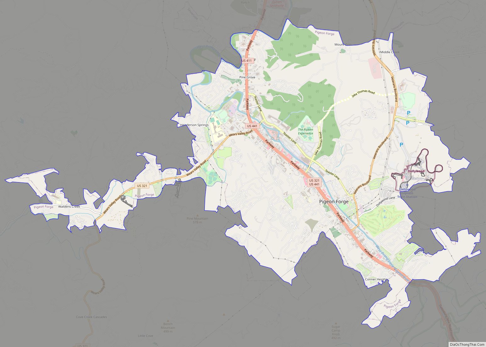
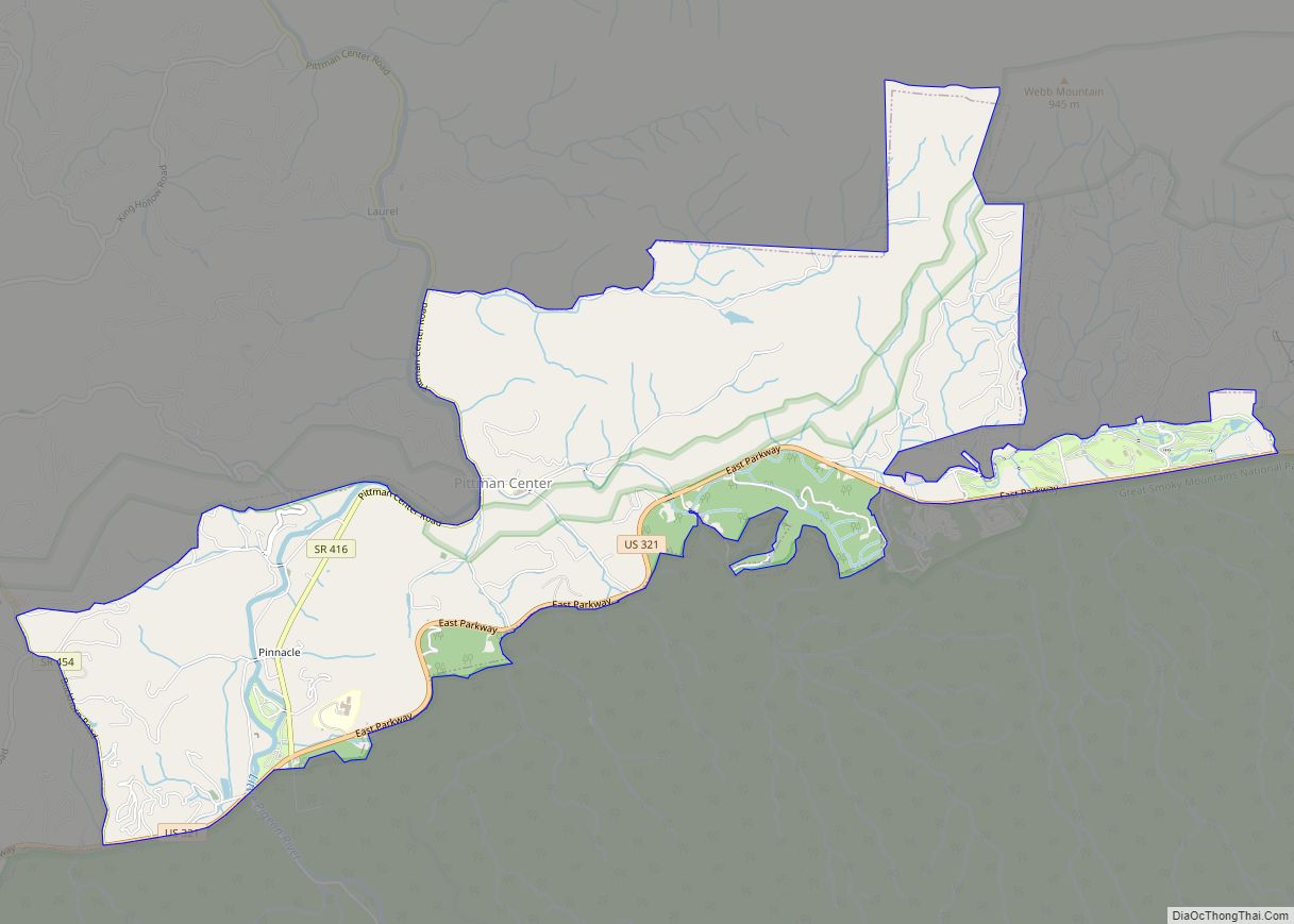
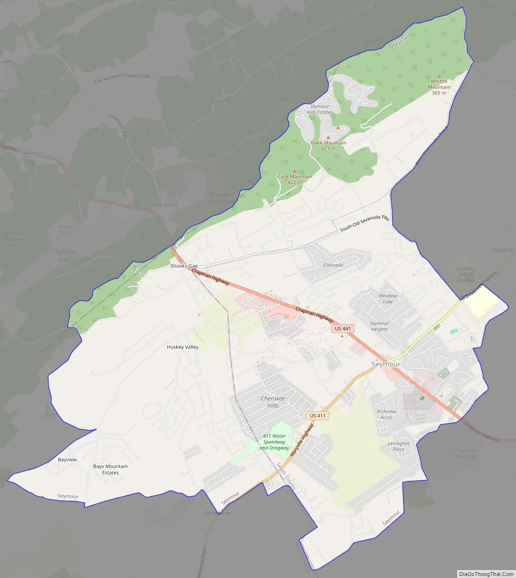
Seymour Road Map
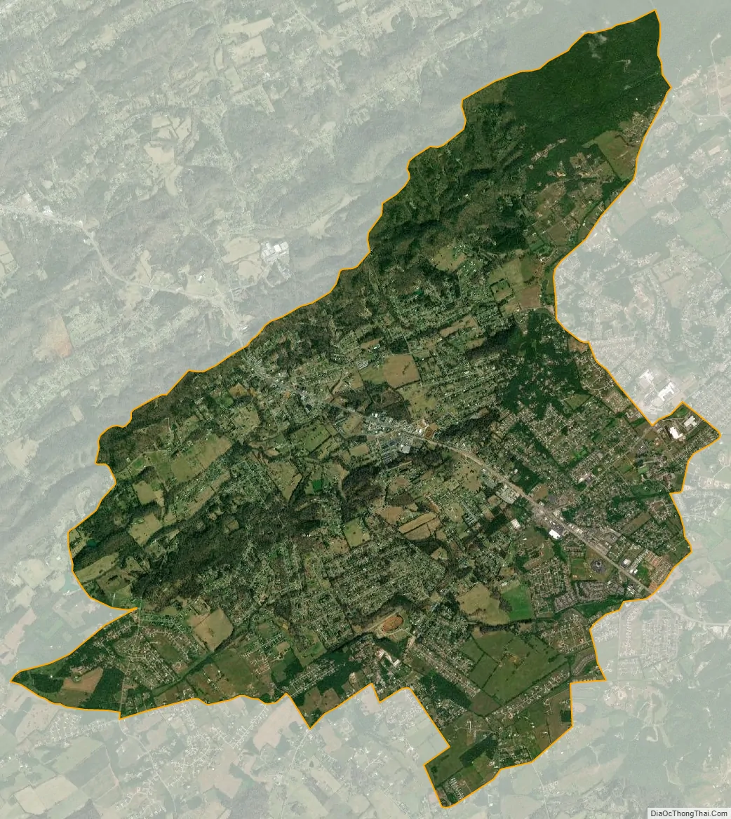
Seymour city Satellite Map
Geography
Seymour is located in the northwest corner of Sevier County and northeast corner of Blount County at 35°52′14″N 83°46′33″W / 35.87056°N 83.77583°W / 35.87056; -83.77583 (35.870533, -83.775936). The community is situated in a rolling valley where the foothills of the Great Smoky Mountains give way to the Ridge-and-Valley Appalachians. Bluff Mountain, the northern terminus of the Chilhowee Mountain ridge, rises prominently to the south, while the Bays Mountain ridge passes to the north.
According to the United States Census Bureau, the CDP has a total area of 12.6 square miles (32.7 km), of which 0.008 square miles (0.02 km), or 0.07%, is water.
Chapman Highway (part of U.S. Route 441) traverses Seymour, connecting the community with Knoxville to the northwest. Near the center of Seymour, Chapman Highway forms a four-way intersection with U.S. Route 411, which approaches from Maryville to the west, and Boyds Creek Highway (State Route 338), which approaches from Boyds Creek to the east. At this intersection, Chapman Highway merges with US 411, and continues eastward to Sevierville.
See also
Map of Tennessee State and its subdivision:- Anderson
- Bedford
- Benton
- Bledsoe
- Blount
- Bradley
- Campbell
- Cannon
- Carroll
- Carter
- Cheatham
- Chester
- Claiborne
- Clay
- Cocke
- Coffee
- Crockett
- Cumberland
- Davidson
- Decatur
- DeKalb
- Dickson
- Dyer
- Fayette
- Fentress
- Franklin
- Gibson
- Giles
- Grainger
- Greene
- Grundy
- Hamblen
- Hamilton
- Hancock
- Hardeman
- Hardin
- Hawkins
- Haywood
- Henderson
- Henry
- Hickman
- Houston
- Humphreys
- Jackson
- Jefferson
- Johnson
- Knox
- Lake
- Lauderdale
- Lawrence
- Lewis
- Lincoln
- Loudon
- Macon
- Madison
- Marion
- Marshall
- Maury
- McMinn
- McNairy
- Meigs
- Monroe
- Montgomery
- Moore
- Morgan
- Obion
- Overton
- Perry
- Pickett
- Polk
- Putnam
- Rhea
- Roane
- Robertson
- Rutherford
- Scott
- Sequatchie
- Sevier
- Shelby
- Smith
- Stewart
- Sullivan
- Sumner
- Tipton
- Trousdale
- Unicoi
- Union
- Van Buren
- Warren
- Washington
- Wayne
- Weakley
- White
- Williamson
- Wilson
- Alabama
- Alaska
- Arizona
- Arkansas
- California
- Colorado
- Connecticut
- Delaware
- District of Columbia
- Florida
- Georgia
- Hawaii
- Idaho
- Illinois
- Indiana
- Iowa
- Kansas
- Kentucky
- Louisiana
- Maine
- Maryland
- Massachusetts
- Michigan
- Minnesota
- Mississippi
- Missouri
- Montana
- Nebraska
- Nevada
- New Hampshire
- New Jersey
- New Mexico
- New York
- North Carolina
- North Dakota
- Ohio
- Oklahoma
- Oregon
- Pennsylvania
- Rhode Island
- South Carolina
- South Dakota
- Tennessee
- Texas
- Utah
- Vermont
- Virginia
- Washington
- West Virginia
- Wisconsin
- Wyoming