Telford is a census-designated place and unincorporated community in Washington County, Tennessee, United States, located between Jonesborough and Limestone. As of the 2010 census, it had a population of 921. The community is part of the Johnson City Metropolitan Statistical Area, which is a component of the Johnson City–Kingsport–Bristol, TN-VA Combined Statistical Area – commonly known as the “Tri-Cities” region. It has one school, Grandview Elementary.
| Name: | Telford CDP |
|---|---|
| LSAD Code: | 57 |
| LSAD Description: | CDP (suffix) |
| State: | Tennessee |
| County: | Washington County |
| Elevation: | 1,555 ft (474 m) |
| Total Area: | 2.47 sq mi (6.39 km²) |
| Land Area: | 2.47 sq mi (6.39 km²) |
| Water Area: | 0.00 sq mi (0.00 km²) |
| Total Population: | 909 |
| Population Density: | 368.46/sq mi (142.25/km²) |
| ZIP code: | 37690 |
| Area code: | 423 |
| FIPS code: | 4773220 |
| GNISfeature ID: | 1304034 |
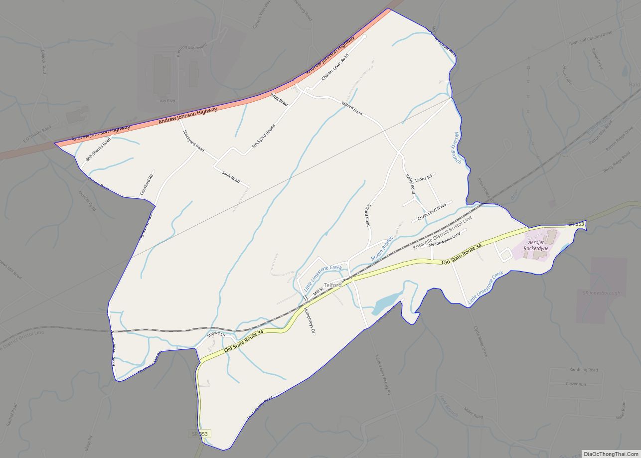
Online Interactive Map
Click on ![]() to view map in "full screen" mode.
to view map in "full screen" mode.
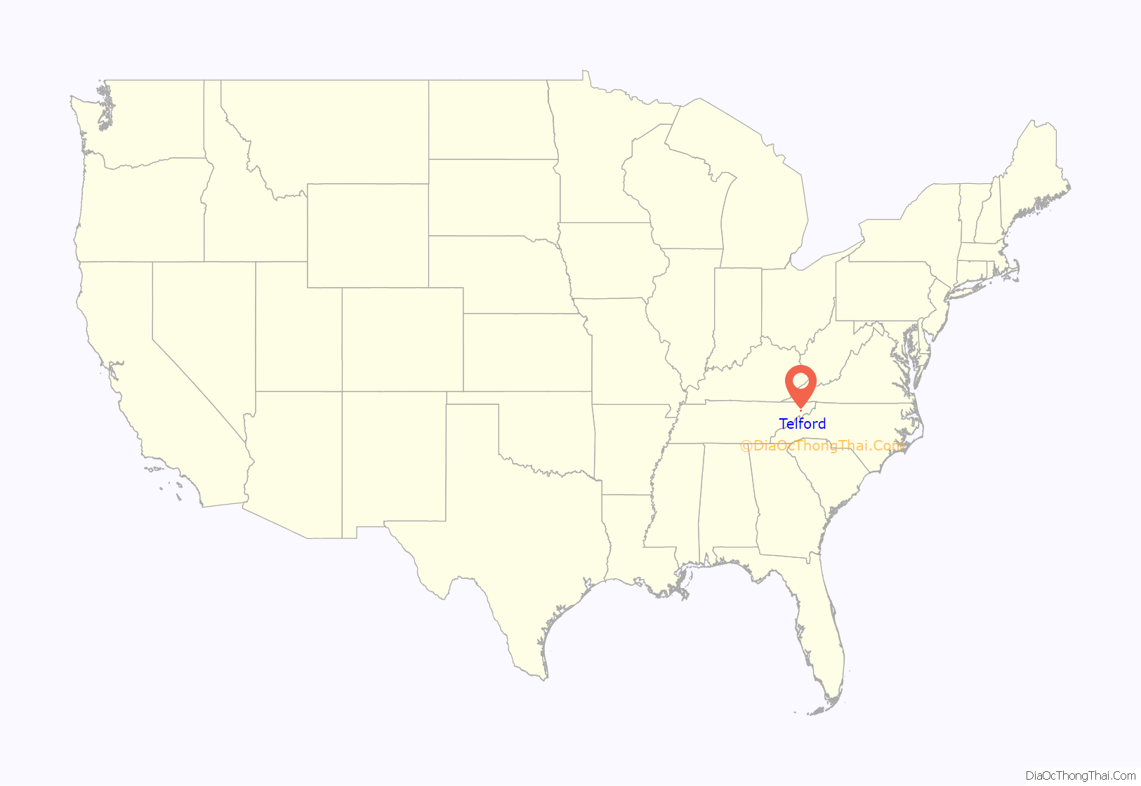
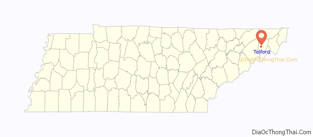
Telford location map. Where is Telford CDP?
History
The community was called Millwood in early times and continued so for many years. It was not until 1855, when Colonel George Whitfield Telford, a state senator who operated the Telford Manufacturing Company, donated about four acres of land to support local operations of the East Tennessee and Virginia Railroad, that the name Millwood was changed to Telford Depot. At a date sometime after 1876 the word “Depot” was discontinued and the single name Telford adopted.
During the Civil War, citizens of this part of Washington County voted to secede from the Confederacy, but they were unsuccessful in persuading others to do so. The independent nation called “Bricker’s Republic” soon fell into relative obscurity. A Civil War battle took place in Telford on September 8, 1863, when the 100th Ohio Infantry clashed with the Confederate-aligned Thomas’ Legion just east of the depot. The Confederate force was supported by 4-Howitzer artillery unit commanded by General Alfred “Mudwall” Jackson.
Telford Road Map
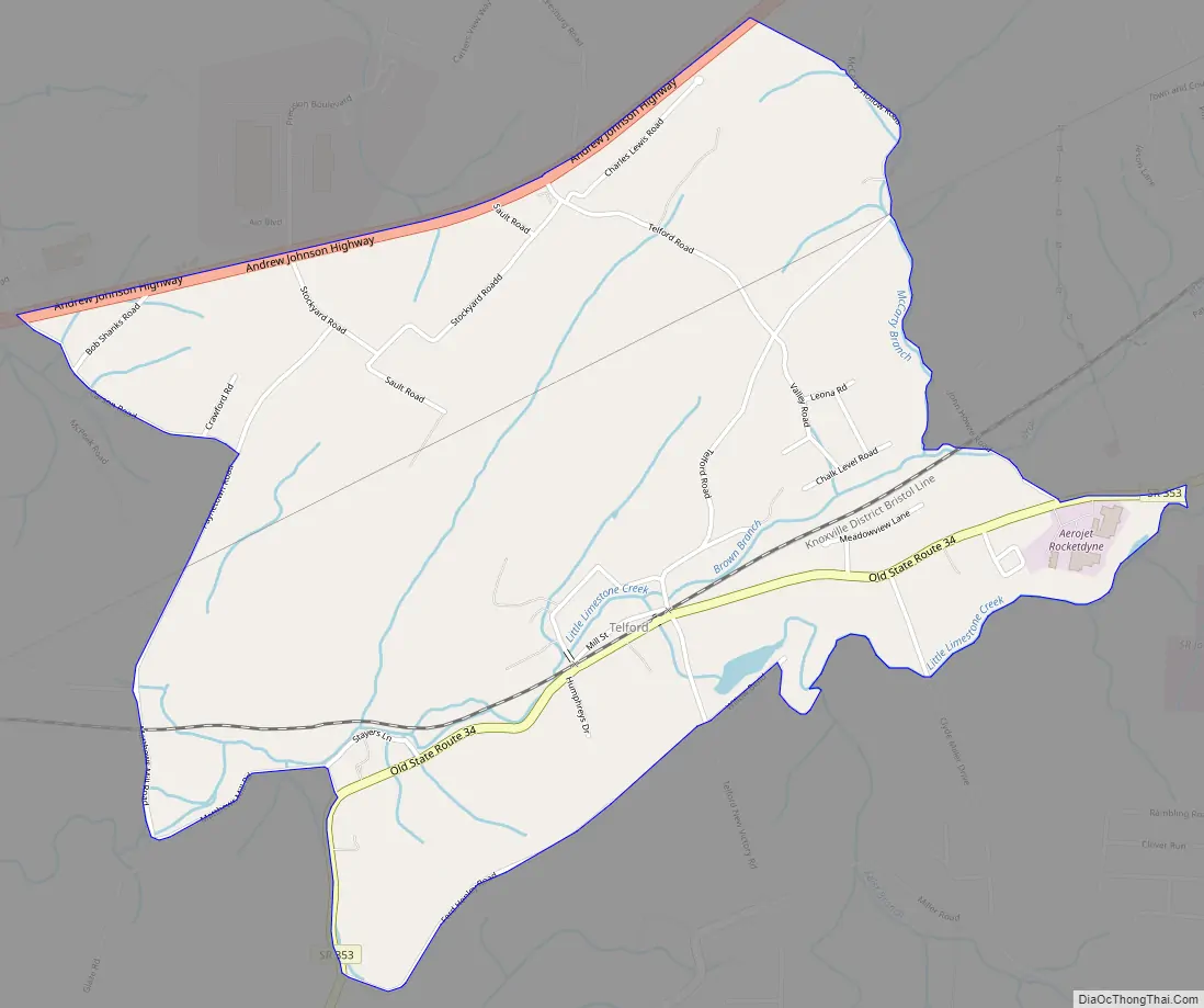
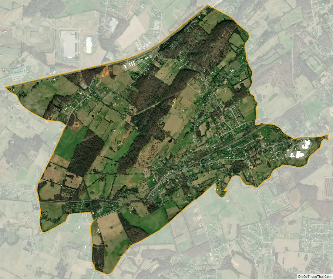
Telford city Satellite Map
See also
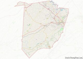
Map of Tennessee State and its subdivision:- Anderson
- Bedford
- Benton
- Bledsoe
- Blount
- Bradley
- Campbell
- Cannon
- Carroll
- Carter
- Cheatham
- Chester
- Claiborne
- Clay
- Cocke
- Coffee
- Crockett
- Cumberland
- Davidson
- Decatur
- DeKalb
- Dickson
- Dyer
- Fayette
- Fentress
- Franklin
- Gibson
- Giles
- Grainger
- Greene
- Grundy
- Hamblen
- Hamilton
- Hancock
- Hardeman
- Hardin
- Hawkins
- Haywood
- Henderson
- Henry
- Hickman
- Houston
- Humphreys
- Jackson
- Jefferson
- Johnson
- Knox
- Lake
- Lauderdale
- Lawrence
- Lewis
- Lincoln
- Loudon
- Macon
- Madison
- Marion
- Marshall
- Maury
- McMinn
- McNairy
- Meigs
- Monroe
- Montgomery
- Moore
- Morgan
- Obion
- Overton
- Perry
- Pickett
- Polk
- Putnam
- Rhea
- Roane
- Robertson
- Rutherford
- Scott
- Sequatchie
- Sevier
- Shelby
- Smith
- Stewart
- Sullivan
- Sumner
- Tipton
- Trousdale
- Unicoi
- Union
- Van Buren
- Warren
- Washington
- Wayne
- Weakley
- White
- Williamson
- Wilson
- Alabama
- Alaska
- Arizona
- Arkansas
- California
- Colorado
- Connecticut
- Delaware
- District of Columbia
- Florida
- Georgia
- Hawaii
- Idaho
- Illinois
- Indiana
- Iowa
- Kansas
- Kentucky
- Louisiana
- Maine
- Maryland
- Massachusetts
- Michigan
- Minnesota
- Mississippi
- Missouri
- Montana
- Nebraska
- Nevada
- New Hampshire
- New Jersey
- New Mexico
- New York
- North Carolina
- North Dakota
- Ohio
- Oklahoma
- Oregon
- Pennsylvania
- Rhode Island
- South Carolina
- South Dakota
- Tennessee
- Texas
- Utah
- Vermont
- Virginia
- Washington
- West Virginia
- Wisconsin
- Wyoming