Alhambra is a village in Madison County, Illinois, United States. The population was 622 at the 2020 census.
Alhambra is part of the Metro-East region of the St. Louis, MO-IL Metropolitan Statistical Area.
| Name: | Alhambra village |
|---|---|
| LSAD Code: | 47 |
| LSAD Description: | village (suffix) |
| State: | Illinois |
| County: | Madison County |
| Elevation: | 558 ft (170 m) |
| Total Area: | 0.76 sq mi (1.98 km²) |
| Land Area: | 0.76 sq mi (1.96 km²) |
| Water Area: | 0.01 sq mi (0.02 km²) |
| Total Population: | 622 |
| Population Density: | 822.75/sq mi (317.86/km²) |
| ZIP code: | 62001 |
| Area code: | 618 |
| FIPS code: | 1700737 |
| GNISfeature ID: | 2397932 |
| Website: | villageofalhambra.com |
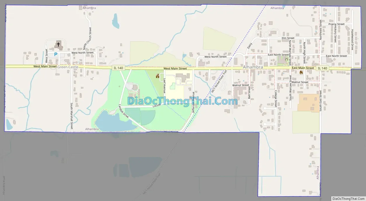
Online Interactive Map
Click on ![]() to view map in "full screen" mode.
to view map in "full screen" mode.
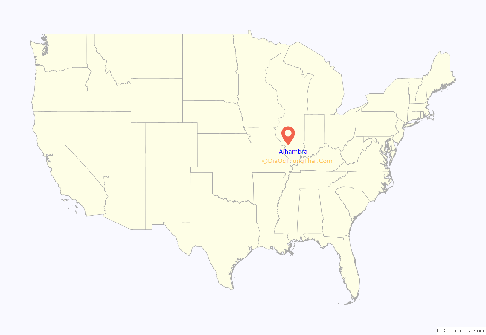
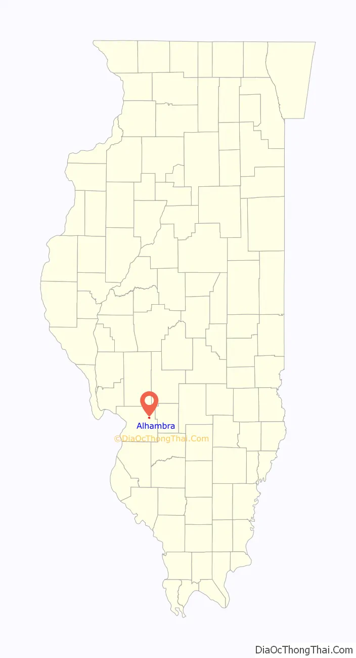
Alhambra location map. Where is Alhambra village?
History
Alhambra was laid out in 1849. The name was inspired by Tales of the Alhambra by Washington Irving.
The first cooperative soybean processing unit in Illinois, the Alhambra Grain & Feed Co., was located in the village. It began full production on March 1, 1945.
Alhambra Road Map
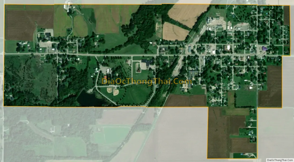
Alhambra city Satellite Map
Geography
Alhambra is located in northeastern Madison County at 38°53′19″N 89°43′57″W / 38.88861°N 89.73250°W / 38.88861; -89.73250 (38.888614, -89.732616). Illinois Route 140 passes through the village as Main Street, leading west 6 miles (10 km) to Hamel and east 17 miles (27 km) to Greenville. St. Louis, Missouri, is 36 miles (58 km) to the southwest.
According to the U.S. Census Bureau, Alhambra has a total area of 0.76 square miles (1.97 km), of which 0.01 square miles (0.03 km), or 1.05%, are water. The village drains southwest to Silver Creek, a south-flowing tributary of the Kaskaskia River.
See also
Map of Illinois State and its subdivision:- Adams
- Alexander
- Bond
- Boone
- Brown
- Bureau
- Calhoun
- Carroll
- Cass
- Champaign
- Christian
- Clark
- Clay
- Clinton
- Coles
- Cook
- Crawford
- Cumberland
- De Kalb
- De Witt
- Douglas
- Dupage
- Edgar
- Edwards
- Effingham
- Fayette
- Ford
- Franklin
- Fulton
- Gallatin
- Greene
- Grundy
- Hamilton
- Hancock
- Hardin
- Henderson
- Henry
- Iroquois
- Jackson
- Jasper
- Jefferson
- Jersey
- Jo Daviess
- Johnson
- Kane
- Kankakee
- Kendall
- Knox
- La Salle
- Lake
- Lake Michigan
- Lawrence
- Lee
- Livingston
- Logan
- Macon
- Macoupin
- Madison
- Marion
- Marshall
- Mason
- Massac
- McDonough
- McHenry
- McLean
- Menard
- Mercer
- Monroe
- Montgomery
- Morgan
- Moultrie
- Ogle
- Peoria
- Perry
- Piatt
- Pike
- Pope
- Pulaski
- Putnam
- Randolph
- Richland
- Rock Island
- Saint Clair
- Saline
- Sangamon
- Schuyler
- Scott
- Shelby
- Stark
- Stephenson
- Tazewell
- Union
- Vermilion
- Wabash
- Warren
- Washington
- Wayne
- White
- Whiteside
- Will
- Williamson
- Winnebago
- Woodford
- Alabama
- Alaska
- Arizona
- Arkansas
- California
- Colorado
- Connecticut
- Delaware
- District of Columbia
- Florida
- Georgia
- Hawaii
- Idaho
- Illinois
- Indiana
- Iowa
- Kansas
- Kentucky
- Louisiana
- Maine
- Maryland
- Massachusetts
- Michigan
- Minnesota
- Mississippi
- Missouri
- Montana
- Nebraska
- Nevada
- New Hampshire
- New Jersey
- New Mexico
- New York
- North Carolina
- North Dakota
- Ohio
- Oklahoma
- Oregon
- Pennsylvania
- Rhode Island
- South Carolina
- South Dakota
- Tennessee
- Texas
- Utah
- Vermont
- Virginia
- Washington
- West Virginia
- Wisconsin
- Wyoming


