East Alton is a village in Madison County, Illinois, United States. The population was 5,786 at the 2020 census, down from 6,301 in 2010.
| Name: | East Alton village |
|---|---|
| LSAD Code: | 47 |
| LSAD Description: | village (suffix) |
| State: | Illinois |
| County: | Madison County |
| Elevation: | 443 ft (135 m) |
| Total Area: | 5.47 sq mi (14.18 km²) |
| Land Area: | 5.32 sq mi (13.77 km²) |
| Water Area: | 0.16 sq mi (0.41 km²) |
| Total Population: | 5,786 |
| Population Density: | 1,088.00/sq mi (420.05/km²) |
| ZIP code: | 62024 |
| Area code: | 618 |
| FIPS code: | 1721553 |
| Website: | www.eastaltonvillage.org |
Online Interactive Map
Click on ![]() to view map in "full screen" mode.
to view map in "full screen" mode.
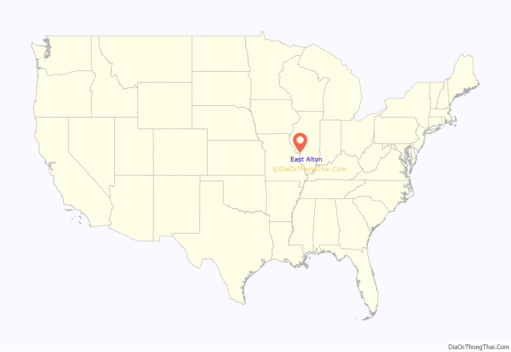
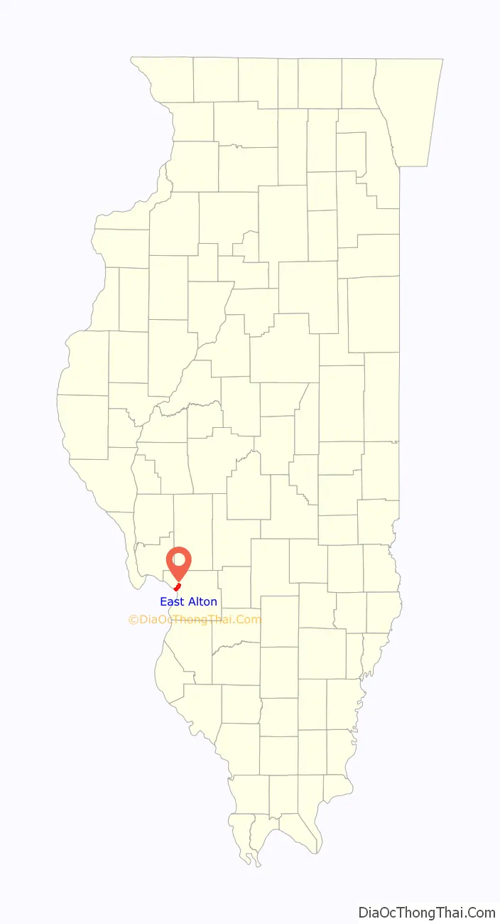
East Alton location map. Where is East Alton village?
History
East Alton was incorporated as a village in 1893 (some say 1894).
William Cobb, namesake of Cobb Street, was one of the first mayors, from 1895 to 1896, and again in 1902–1905.
Like many River Bend communities, the town dates back to when European settlers came to the area in the early 19th century. And it wasn’t always East Alton — the community was known as Emerald, Milton Settlement and Alton Junction. Alton Junction was also known as Wann Junction, famous locally for being the site of a horrific rail disaster.
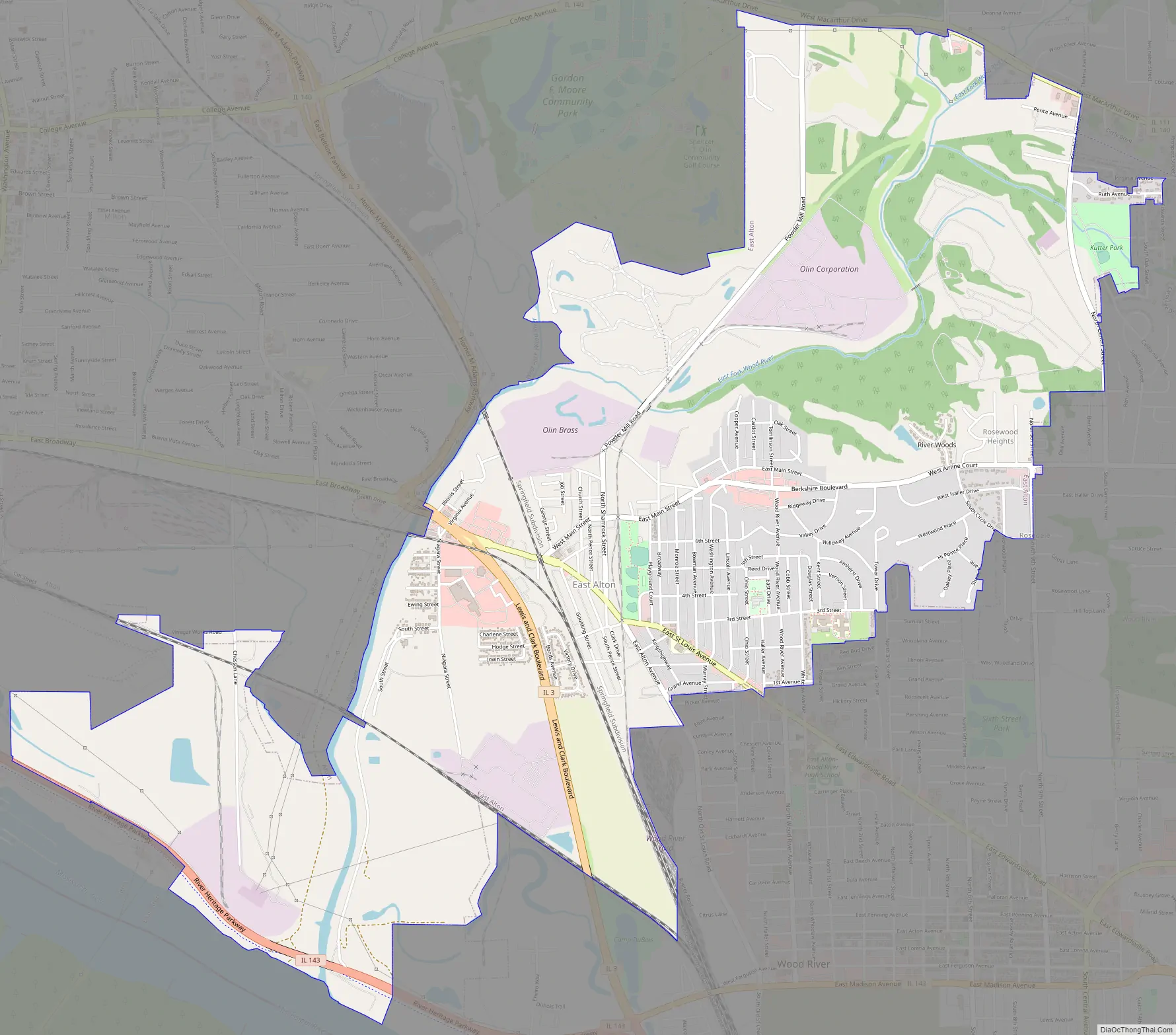
East Alton Road Map
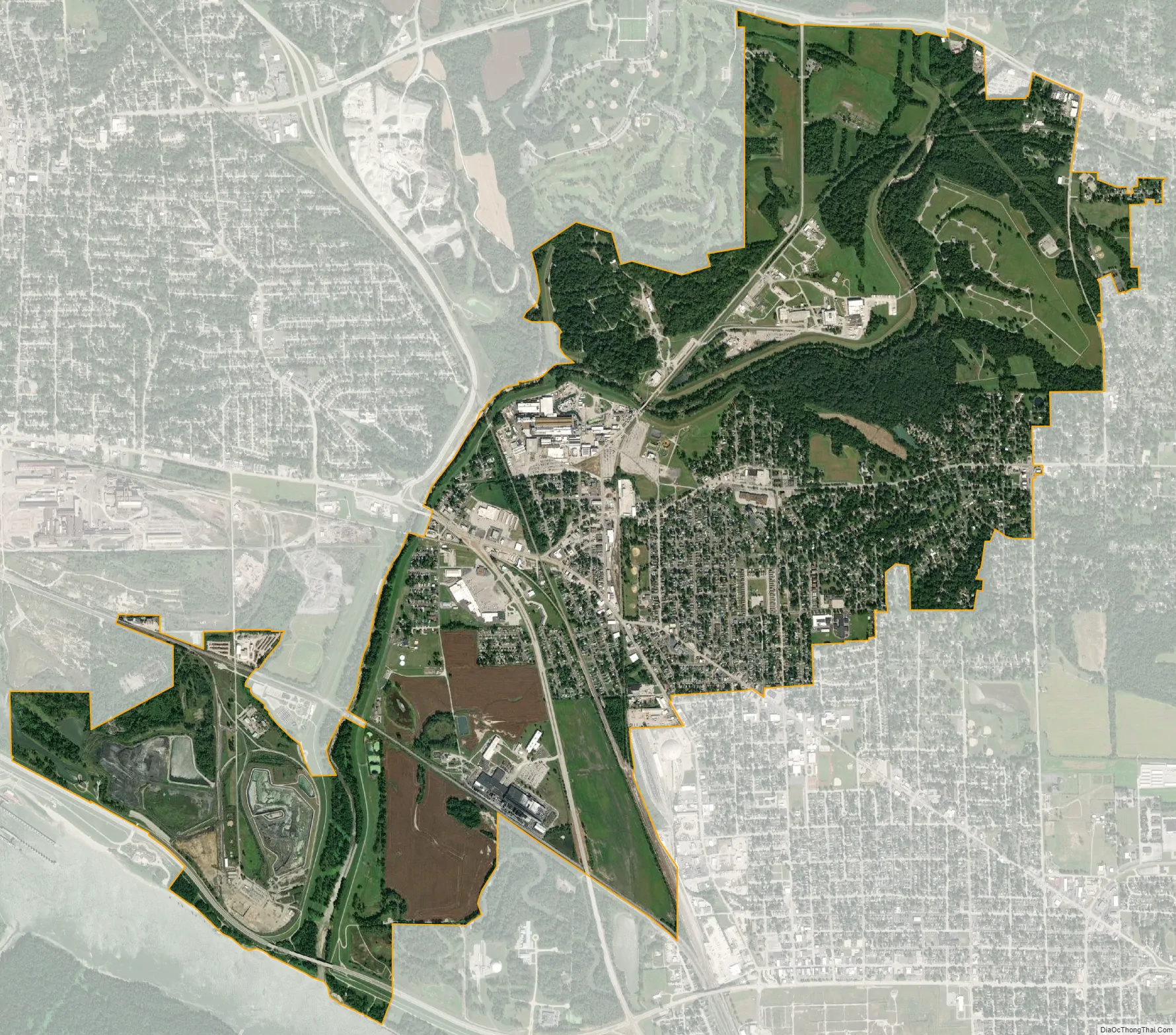
East Alton city Satellite Map
Geography
East Alton is located in northwestern Madison County at 38°53′0″N 90°6′22″W / 38.88333°N 90.10611°W / 38.88333; -90.10611 (38.883397, -90.106113). It is bordered to the northwest by the city of Alton, to the east by unincorporated Rosewood Heights, to the southeast by the city of Wood River, and to the southwest by the Mississippi River, with West Alton, Missouri, on the opposite shore.
According to the U.S. Census Bureau, East Alton has a total area of 5.48 square miles (14.19 km), of which 5.32 square miles (13.78 km) are land and 0.16 square miles (0.41 km), or 2.87%, are water. The Wood River flows through the northern and western parts of the village and forms the village’s western border (with Alton) for some of its distance. The river joins the Mississippi in the southern part of the village.
Illinois Route 3 (Lewis and Clark Boulevard) passes through the southwest part of the village, leading northwest into Alton and south 21 miles (34 km) to East St. Louis. Illinois Route 143 (Berm Highway) follows the Mississippi along the village’s southern edge, leading northwest to the center of Alton and east to the center of Wood River. Illinois Routes 111 and 140 run together along the northern border of the village, leading west into Alton and east into Bethalto.
See also
Map of Illinois State and its subdivision:- Adams
- Alexander
- Bond
- Boone
- Brown
- Bureau
- Calhoun
- Carroll
- Cass
- Champaign
- Christian
- Clark
- Clay
- Clinton
- Coles
- Cook
- Crawford
- Cumberland
- De Kalb
- De Witt
- Douglas
- Dupage
- Edgar
- Edwards
- Effingham
- Fayette
- Ford
- Franklin
- Fulton
- Gallatin
- Greene
- Grundy
- Hamilton
- Hancock
- Hardin
- Henderson
- Henry
- Iroquois
- Jackson
- Jasper
- Jefferson
- Jersey
- Jo Daviess
- Johnson
- Kane
- Kankakee
- Kendall
- Knox
- La Salle
- Lake
- Lake Michigan
- Lawrence
- Lee
- Livingston
- Logan
- Macon
- Macoupin
- Madison
- Marion
- Marshall
- Mason
- Massac
- McDonough
- McHenry
- McLean
- Menard
- Mercer
- Monroe
- Montgomery
- Morgan
- Moultrie
- Ogle
- Peoria
- Perry
- Piatt
- Pike
- Pope
- Pulaski
- Putnam
- Randolph
- Richland
- Rock Island
- Saint Clair
- Saline
- Sangamon
- Schuyler
- Scott
- Shelby
- Stark
- Stephenson
- Tazewell
- Union
- Vermilion
- Wabash
- Warren
- Washington
- Wayne
- White
- Whiteside
- Will
- Williamson
- Winnebago
- Woodford
- Alabama
- Alaska
- Arizona
- Arkansas
- California
- Colorado
- Connecticut
- Delaware
- District of Columbia
- Florida
- Georgia
- Hawaii
- Idaho
- Illinois
- Indiana
- Iowa
- Kansas
- Kentucky
- Louisiana
- Maine
- Maryland
- Massachusetts
- Michigan
- Minnesota
- Mississippi
- Missouri
- Montana
- Nebraska
- Nevada
- New Hampshire
- New Jersey
- New Mexico
- New York
- North Carolina
- North Dakota
- Ohio
- Oklahoma
- Oregon
- Pennsylvania
- Rhode Island
- South Carolina
- South Dakota
- Tennessee
- Texas
- Utah
- Vermont
- Virginia
- Washington
- West Virginia
- Wisconsin
- Wyoming


