Wood River is a city in Madison County, Illinois. The population was 10,464 as of the 2020 census.
| Name: | Wood River city |
|---|---|
| LSAD Code: | 25 |
| LSAD Description: | city (suffix) |
| State: | Illinois |
| County: | Madison County |
| Elevation: | 436 ft (133 m) |
| Total Area: | 7.23 sq mi (18.72 km²) |
| Land Area: | 6.97 sq mi (18.06 km²) |
| Water Area: | 0.25 sq mi (0.65 km²) |
| Total Population: | 10,464 |
| Population Density: | 1,500.22/sq mi (579.25/km²) |
| ZIP code: | 62095 |
| Area code: | 618 |
| FIPS code: | 1783271 |
| GNISfeature ID: | 2397363 |
| Website: | www.woodriver.org |
Online Interactive Map
Click on ![]() to view map in "full screen" mode.
to view map in "full screen" mode.
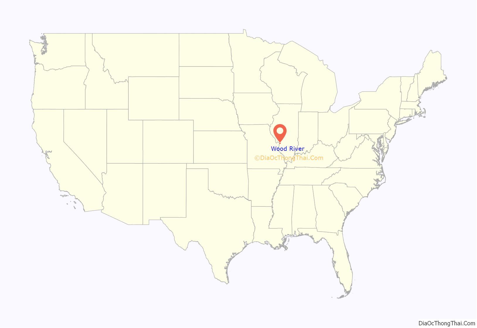
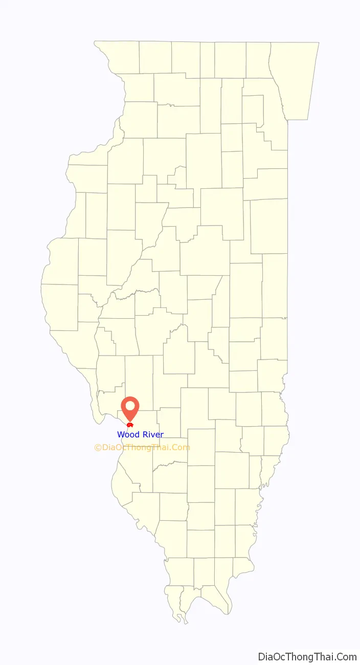
Wood River location map. Where is Wood River city?
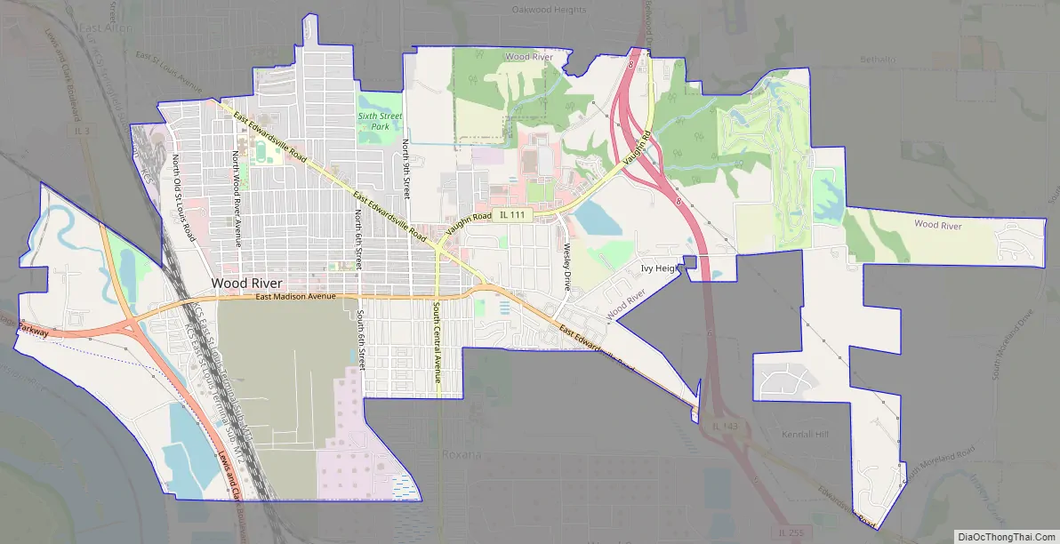
Wood River Road Map
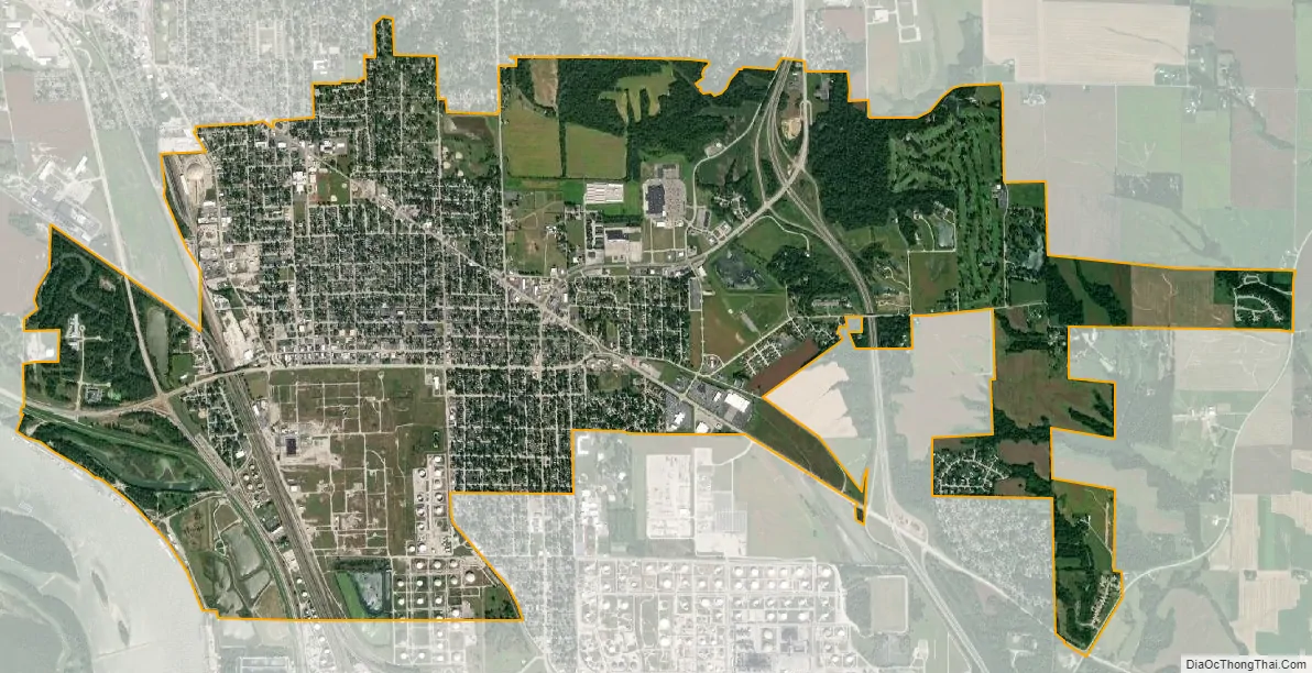
Wood River city Satellite Map
Geography
Wood River is located in western Madison County at 38°51′47″N 90°5′19″W / 38.86306°N 90.08861°W / 38.86306; -90.08861 (38.863047, -90.088527). It is on the Mississippi River approximately 15 miles (24 km) upstream of downtown St. Louis, Missouri, among several contiguous cities and villages that have come to be known as the “Riverbend” area. The current confluence of the Mississippi and the Missouri rivers is just south of one of these neighboring villages, Hartford. Wood River is bordered to the northwest by East Alton, to the north by Rosewood Heights, to the northeast by Bethalto, to the southeast by Roxana, to the south by Hartford, and to the southwest, across the Mississippi River, by West Alton, Missouri.
Illinois Route 3 passes through the west side of the city, leading north 5 miles (8 km) to the north side of Alton and south 18 miles (29 km) to East St. Louis. Illinois Route 143 passes through the center of Wood River as Madison Avenue, leading northwest 5 miles (8 km) to the center of Alton and southeast 9 miles (14 km) to Edwardsville. Illinois Route 111 follows Central Avenue through the center of Wood River, leading north 3.5 miles (5.6 km) to the west part of Bethalto and south 16 miles (26 km) to Washington Park. Illinois Route 255, a four-lane limited-access highway, passes through the east side of Wood River, leading northwest 10 miles (16 km) to Godfrey and south 15 miles (24 km) to Collinsville.
According to the U.S. Census Bureau, Wood River has a total area of 7.23 square miles (18.73 km), of which 6.98 square miles (18.08 km) are land and 0.25 square miles (0.65 km), or 3.47%, are water.
See also
Map of Illinois State and its subdivision:- Adams
- Alexander
- Bond
- Boone
- Brown
- Bureau
- Calhoun
- Carroll
- Cass
- Champaign
- Christian
- Clark
- Clay
- Clinton
- Coles
- Cook
- Crawford
- Cumberland
- De Kalb
- De Witt
- Douglas
- Dupage
- Edgar
- Edwards
- Effingham
- Fayette
- Ford
- Franklin
- Fulton
- Gallatin
- Greene
- Grundy
- Hamilton
- Hancock
- Hardin
- Henderson
- Henry
- Iroquois
- Jackson
- Jasper
- Jefferson
- Jersey
- Jo Daviess
- Johnson
- Kane
- Kankakee
- Kendall
- Knox
- La Salle
- Lake
- Lake Michigan
- Lawrence
- Lee
- Livingston
- Logan
- Macon
- Macoupin
- Madison
- Marion
- Marshall
- Mason
- Massac
- McDonough
- McHenry
- McLean
- Menard
- Mercer
- Monroe
- Montgomery
- Morgan
- Moultrie
- Ogle
- Peoria
- Perry
- Piatt
- Pike
- Pope
- Pulaski
- Putnam
- Randolph
- Richland
- Rock Island
- Saint Clair
- Saline
- Sangamon
- Schuyler
- Scott
- Shelby
- Stark
- Stephenson
- Tazewell
- Union
- Vermilion
- Wabash
- Warren
- Washington
- Wayne
- White
- Whiteside
- Will
- Williamson
- Winnebago
- Woodford
- Alabama
- Alaska
- Arizona
- Arkansas
- California
- Colorado
- Connecticut
- Delaware
- District of Columbia
- Florida
- Georgia
- Hawaii
- Idaho
- Illinois
- Indiana
- Iowa
- Kansas
- Kentucky
- Louisiana
- Maine
- Maryland
- Massachusetts
- Michigan
- Minnesota
- Mississippi
- Missouri
- Montana
- Nebraska
- Nevada
- New Hampshire
- New Jersey
- New Mexico
- New York
- North Carolina
- North Dakota
- Ohio
- Oklahoma
- Oregon
- Pennsylvania
- Rhode Island
- South Carolina
- South Dakota
- Tennessee
- Texas
- Utah
- Vermont
- Virginia
- Washington
- West Virginia
- Wisconsin
- Wyoming


