Goodfield is a village in Tazewell and Woodford counties in Illinois. The population was 936 at the 2020 census, up from 686 at the 2000 census. Goodfield is part of the Peoria, Illinois, Metropolitan Statistical Area.
CNH (company) has a plant located in Goodfield that manufactures branded (Case IH, New Holland, and DMI) crop production, fertilizer and tillage equipment. Goodfield also has local businesses including Early Bird Fertilizer and Busy Corner.
| Name: | Goodfield village |
|---|---|
| LSAD Code: | 47 |
| LSAD Description: | village (suffix) |
| State: | Illinois |
| County: | Tazewell County, Woodford County |
| Elevation: | 702 ft (214 m) |
| Total Area: | 1.63 sq mi (4.22 km²) |
| Land Area: | 1.62 sq mi (4.20 km²) |
| Water Area: | 0.01 sq mi (0.02 km²) |
| Total Population: | 936 |
| Population Density: | 577.07/sq mi (222.81/km²) |
| Area code: | 309 |
| FIPS code: | 1730445 |
| GNISfeature ID: | 2398176 |
| Website: | goodfieldillinois.com |
Online Interactive Map
Click on ![]() to view map in "full screen" mode.
to view map in "full screen" mode.
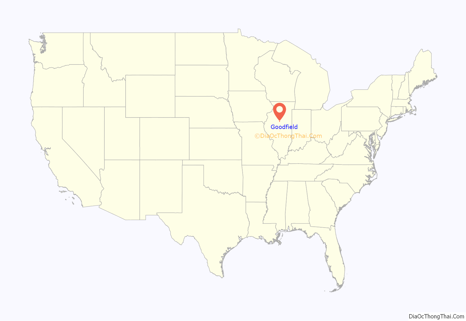
Goodfield location map. Where is Goodfield village?
History
The site of Goodfield was surveyed for John Guth of Washington, Illinois, on 29 August 1888. The name Goodfield is believed to derive from Guthville (via Goodville), named after John Guth.
2019 Fire
The area of the village gained local, national, and global notoriety when a 9-year-old boy allegedly set fire to a trailer that contained his mother and several other relatives, killing five, including at least one or two young children who were relatives. The fire was, after some time, determined to be suspicious by the coroner and fire investigators and area police. The boy, who as a young juvenile cannot be named (there is, after the mother gave an interview, also a court-imposed gag order on all parties), is subsequently being prosecuted on five first degree murder charges and aggravated arson resulting in death. The boy, taken from his mother after the fire, is a ward of the state, and his grandparents are now his legal guardians. His initial appearance was before Judge Charles Feeney, who took careful time to explain the charges and their meaning. Under Illinois law, those under 10 cannot be detained except for brief questioning, and those under 13 cannot be detained in a juvenile facility or juvenile detention center. They must be at least 16 to be transferred to adult court. He will face probation for a minimum of five years but not after age 21, restitution and/or some form of service, and intensive therapy, counseling, and rehabilitation. He is the youngest to be charged in central Illinois since at least 2006, especially for such a serious offense that in adult could bring life without parole in the non-death penalty state.
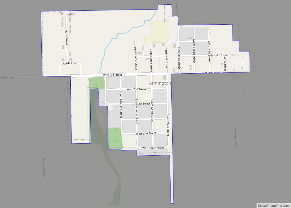
Goodfield Road Map
Goodfield city Satellite Map
Geography
According to the 2010 census, Goodfield has a total area of 1.698 square miles (4.40 km), of which 1.69 square miles (4.38 km) (or 99.53%) is land and 0.008 square miles (0.02 km) (or 0.47%) is water.
See also
Map of Illinois State and its subdivision:- Adams
- Alexander
- Bond
- Boone
- Brown
- Bureau
- Calhoun
- Carroll
- Cass
- Champaign
- Christian
- Clark
- Clay
- Clinton
- Coles
- Cook
- Crawford
- Cumberland
- De Kalb
- De Witt
- Douglas
- Dupage
- Edgar
- Edwards
- Effingham
- Fayette
- Ford
- Franklin
- Fulton
- Gallatin
- Greene
- Grundy
- Hamilton
- Hancock
- Hardin
- Henderson
- Henry
- Iroquois
- Jackson
- Jasper
- Jefferson
- Jersey
- Jo Daviess
- Johnson
- Kane
- Kankakee
- Kendall
- Knox
- La Salle
- Lake
- Lake Michigan
- Lawrence
- Lee
- Livingston
- Logan
- Macon
- Macoupin
- Madison
- Marion
- Marshall
- Mason
- Massac
- McDonough
- McHenry
- McLean
- Menard
- Mercer
- Monroe
- Montgomery
- Morgan
- Moultrie
- Ogle
- Peoria
- Perry
- Piatt
- Pike
- Pope
- Pulaski
- Putnam
- Randolph
- Richland
- Rock Island
- Saint Clair
- Saline
- Sangamon
- Schuyler
- Scott
- Shelby
- Stark
- Stephenson
- Tazewell
- Union
- Vermilion
- Wabash
- Warren
- Washington
- Wayne
- White
- Whiteside
- Will
- Williamson
- Winnebago
- Woodford
- Alabama
- Alaska
- Arizona
- Arkansas
- California
- Colorado
- Connecticut
- Delaware
- District of Columbia
- Florida
- Georgia
- Hawaii
- Idaho
- Illinois
- Indiana
- Iowa
- Kansas
- Kentucky
- Louisiana
- Maine
- Maryland
- Massachusetts
- Michigan
- Minnesota
- Mississippi
- Missouri
- Montana
- Nebraska
- Nevada
- New Hampshire
- New Jersey
- New Mexico
- New York
- North Carolina
- North Dakota
- Ohio
- Oklahoma
- Oregon
- Pennsylvania
- Rhode Island
- South Carolina
- South Dakota
- Tennessee
- Texas
- Utah
- Vermont
- Virginia
- Washington
- West Virginia
- Wisconsin
- Wyoming
