Crossville is a village in White County, Illinois, United States. The population was 745 at the 2010 census.
| Name: | Crossville village |
|---|---|
| LSAD Code: | 47 |
| LSAD Description: | village (suffix) |
| State: | Illinois |
| County: | White County |
| Elevation: | 397 ft (121 m) |
| Total Area: | 0.64 sq mi (1.66 km²) |
| Land Area: | 0.64 sq mi (1.66 km²) |
| Water Area: | 0.00 sq mi (0.00 km²) |
| Total Population: | 623 |
| Population Density: | 973.44/sq mi (375.57/km²) |
| Area code: | 618 |
| FIPS code: | 1717783 |
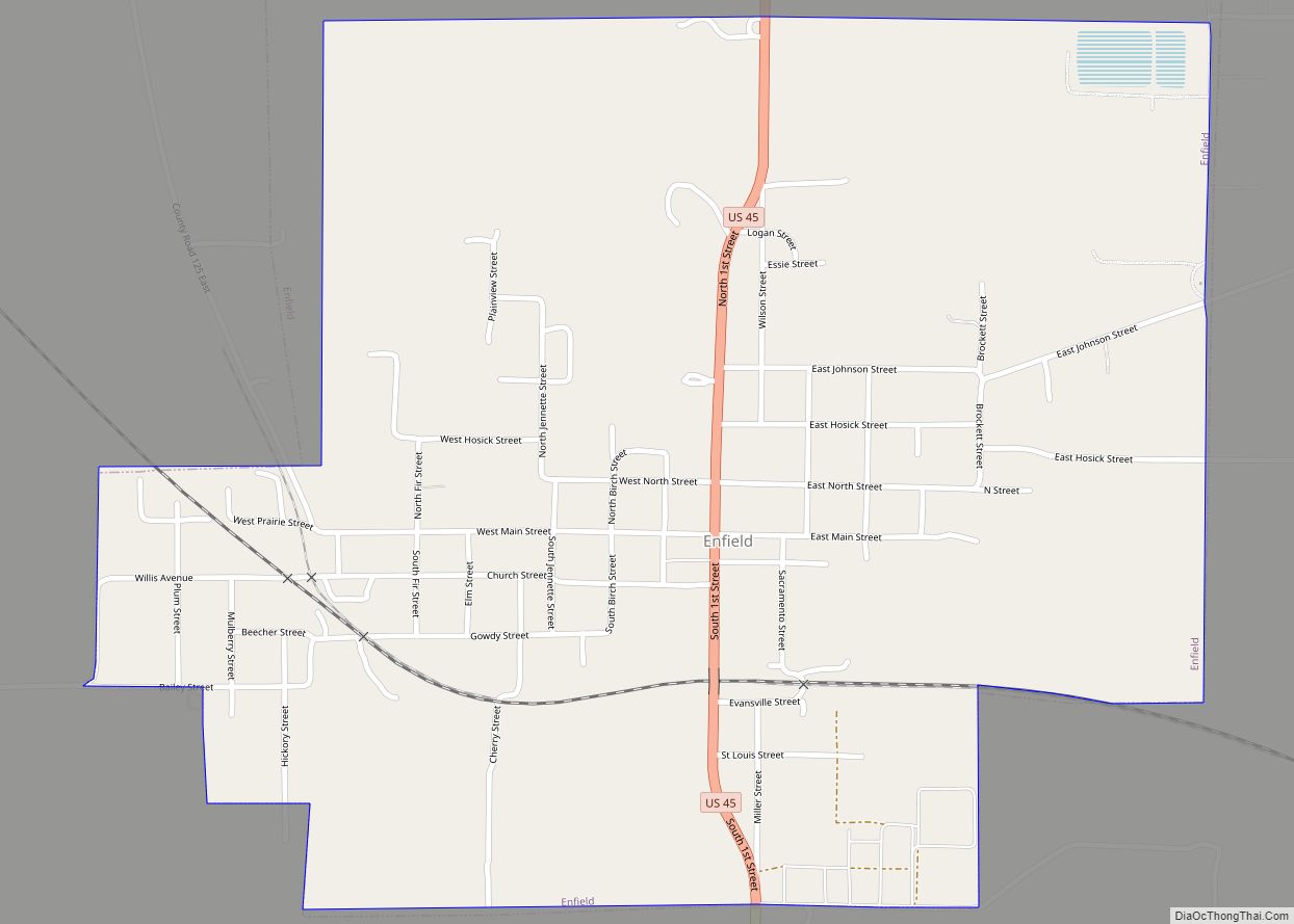
Online Interactive Map
Click on ![]() to view map in "full screen" mode.
to view map in "full screen" mode.
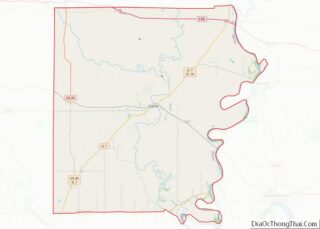
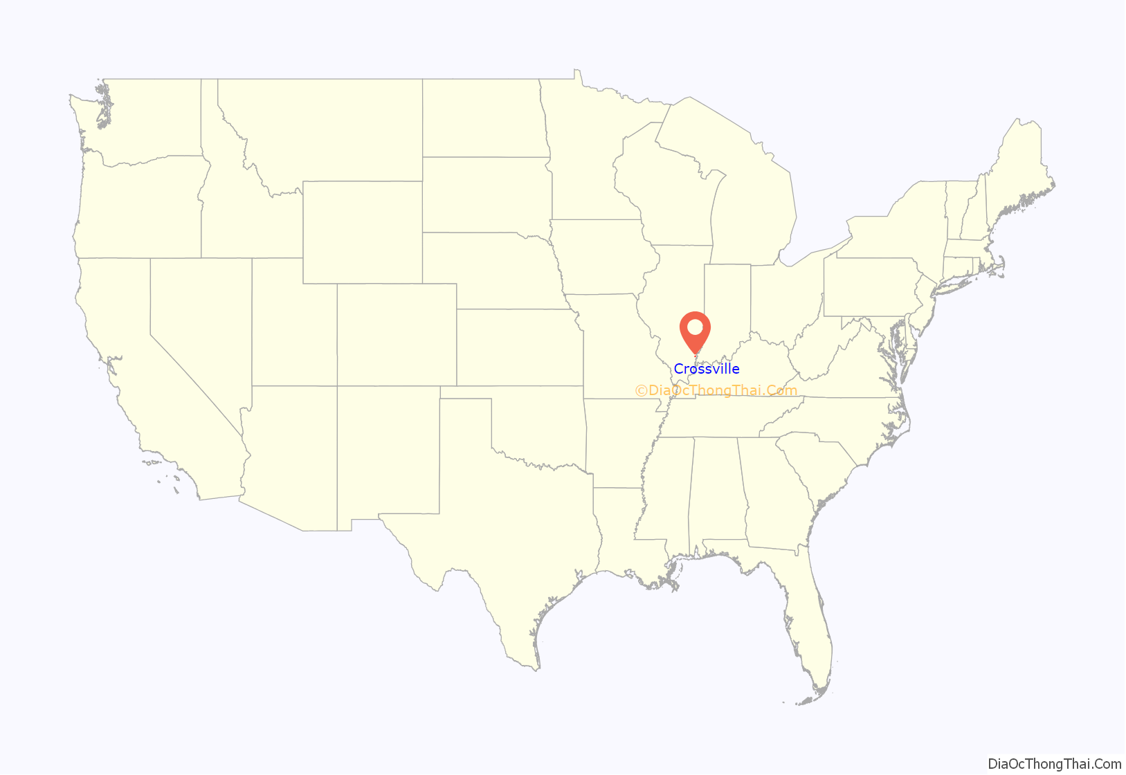
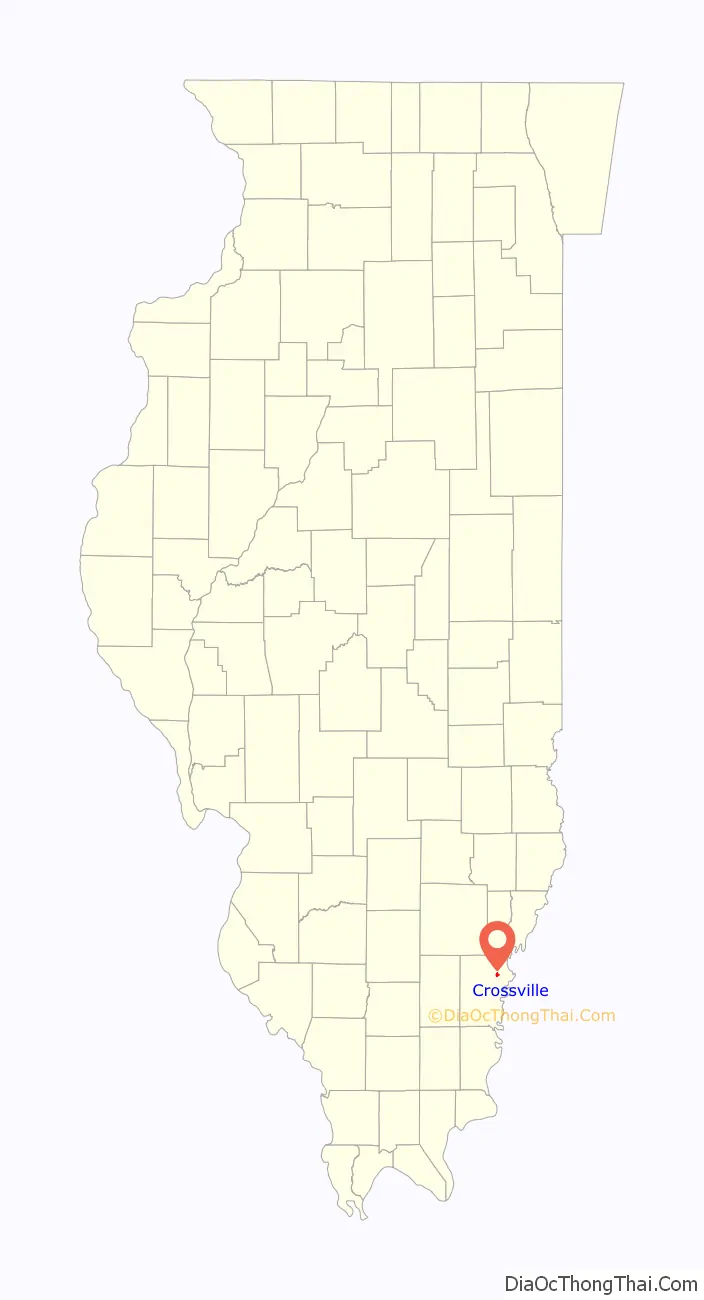
Crossville location map. Where is Crossville village?
History
Crossville was laid out by surveyor John Mills in 1872 for Thomas Cross and Silas Elliott, and named for Thomas Cross. The original plat was one half mile square (160 acres or a quarter section), located in Section 23, Township 4 South, Range 10 East of the 3rd Principal Meridian.
The town’s existence is closely tied to the opening of the Cairo and Vincennes Railroad on December 9, 1872. In 1853 the Vincennes and Paducah Railway Company was formed for the purpose of creating a railroad through the area, but that venture was unsuccessful. In 1857 the Illinois Southern Railway Company took up the idea, with a plan that originally contemplated routing the railroad through Phillipstown, but local land owners Stephen Fitzgerald and Solomon Charles refused to donate land to the Railway. Instead, in 1857 Thomas Cross donated right-of-way through the center of what would later become Crossville. The railroad project was stalled during the Civil War, but in 1867 the Cairo and Vincennes Railway Company was formed and work on the railroad proceeded in earnest.
The town was incorporated on September 30, 1895, and the town charter was filed on October 12, 1895, at 11:05 am.
2017 tornado
On February 28, 2017, an EF3 wedge tornado touched down in Crossville, damaging the village as it passed through, resulting in one fatality.
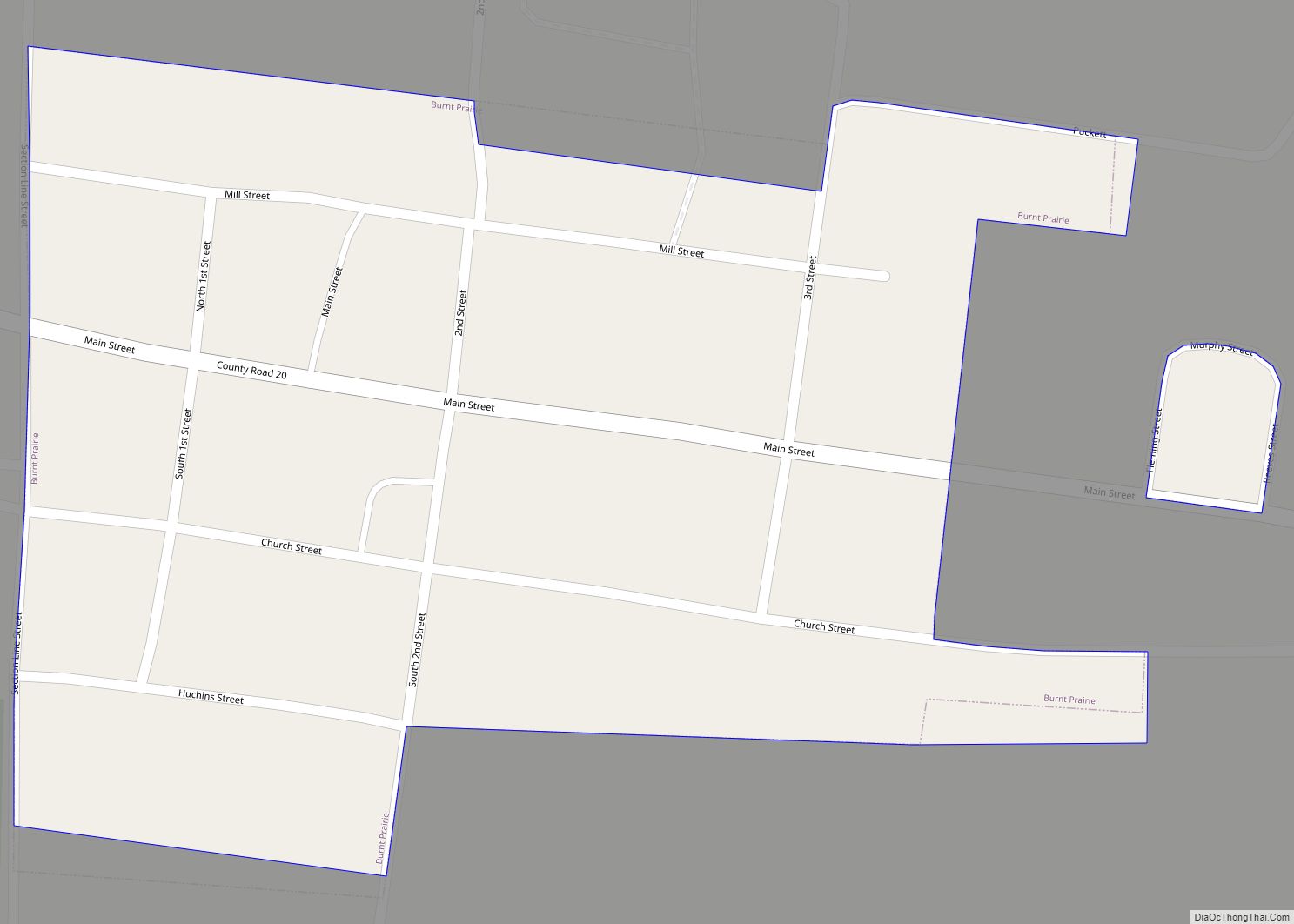
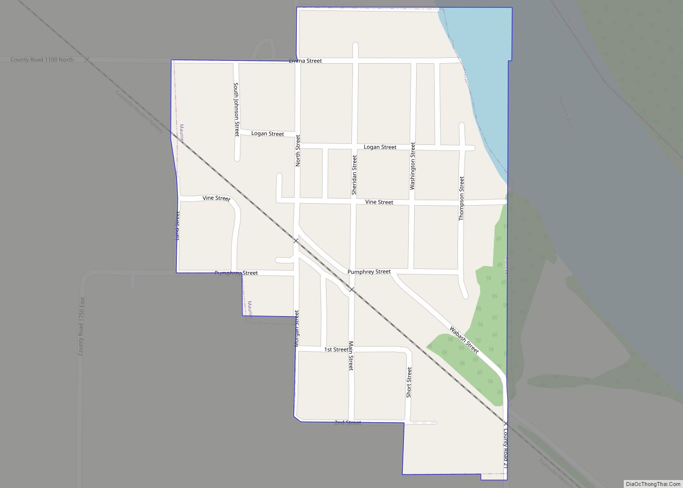
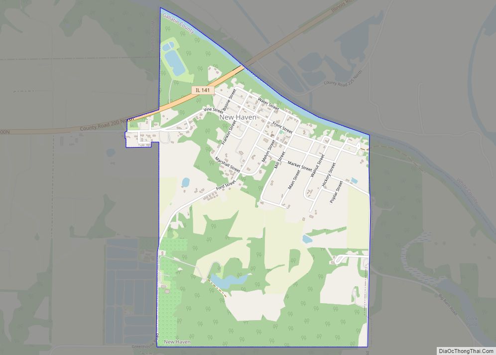
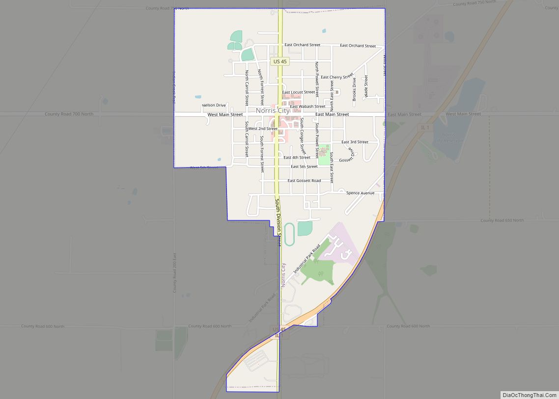
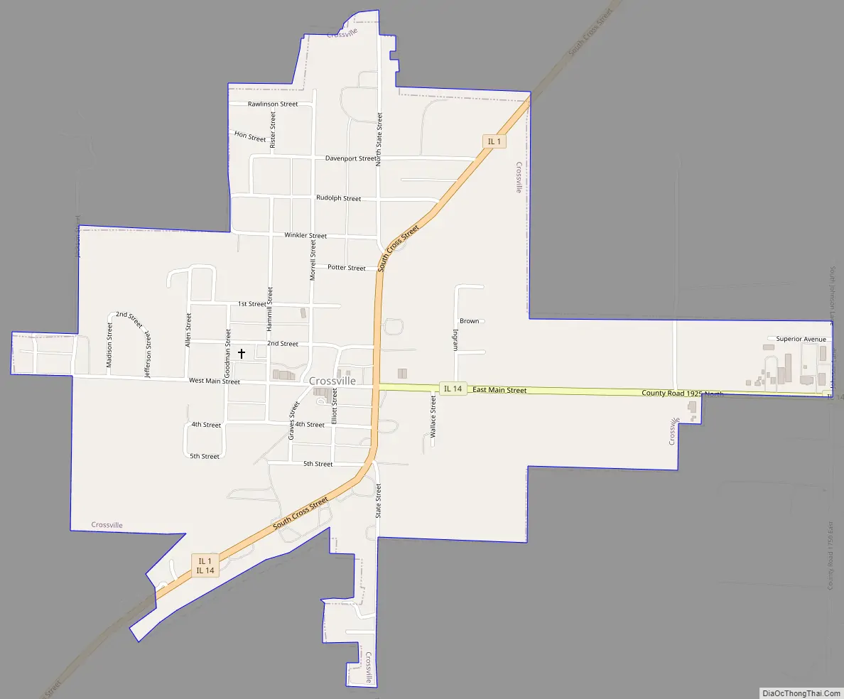
Crossville Road Map
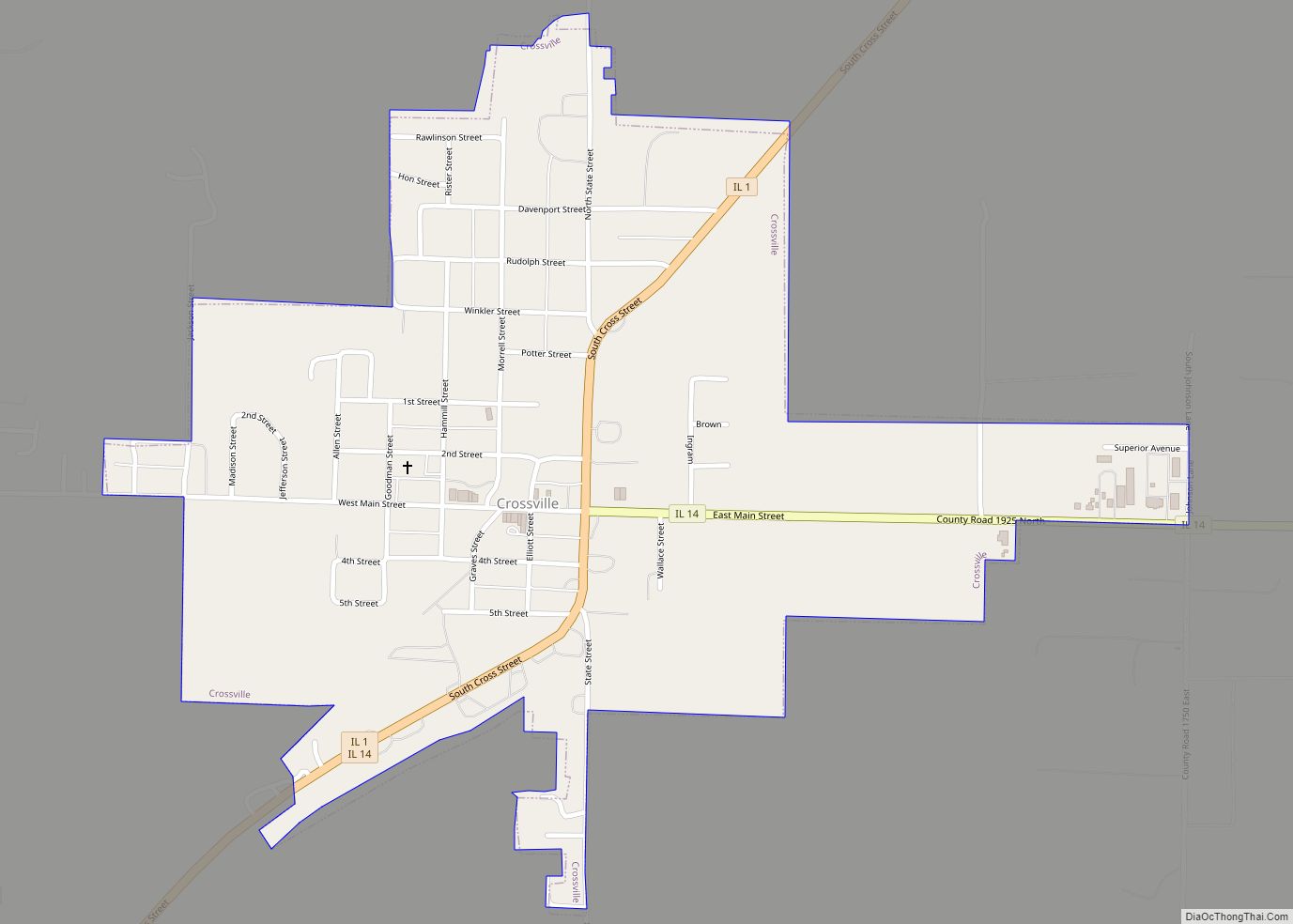
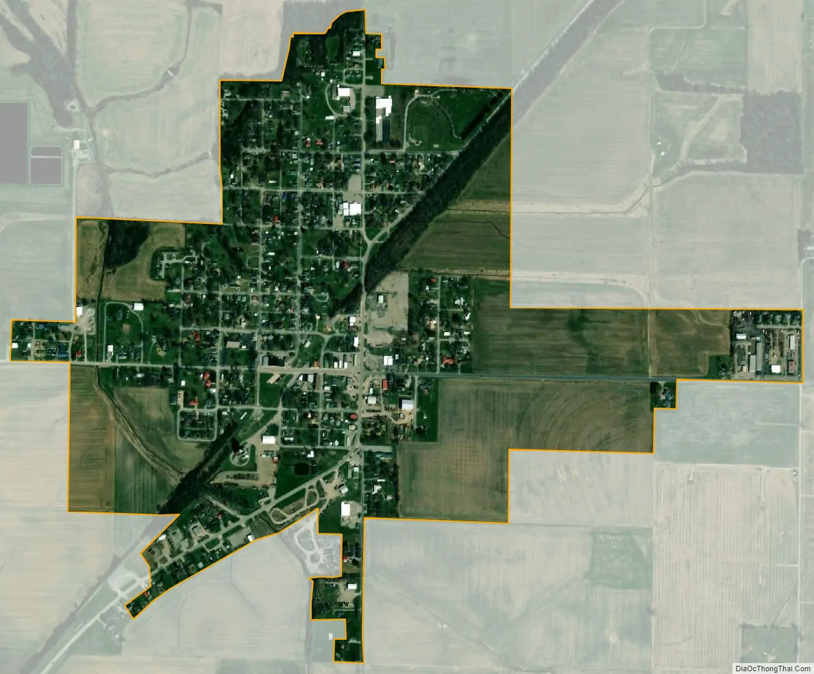
Crossville city Satellite Map
Geography
Crossville is located at 38°9′47″N 88°4′0″W / 38.16306°N 88.06667°W / 38.16306; -88.06667 (38.163001, -88.066671). The village is concentrated around the intersection of Illinois State Route 1 and Illinois State Route 14, northeast of Carmi, and several miles west of the Illinois-Indiana state line along the Wabash River.
According to the 2010 census, Crossville has a total area of 0.64 square miles (1.66 km), all land.
See also
Map of Illinois State and its subdivision:- Adams
- Alexander
- Bond
- Boone
- Brown
- Bureau
- Calhoun
- Carroll
- Cass
- Champaign
- Christian
- Clark
- Clay
- Clinton
- Coles
- Cook
- Crawford
- Cumberland
- De Kalb
- De Witt
- Douglas
- Dupage
- Edgar
- Edwards
- Effingham
- Fayette
- Ford
- Franklin
- Fulton
- Gallatin
- Greene
- Grundy
- Hamilton
- Hancock
- Hardin
- Henderson
- Henry
- Iroquois
- Jackson
- Jasper
- Jefferson
- Jersey
- Jo Daviess
- Johnson
- Kane
- Kankakee
- Kendall
- Knox
- La Salle
- Lake
- Lake Michigan
- Lawrence
- Lee
- Livingston
- Logan
- Macon
- Macoupin
- Madison
- Marion
- Marshall
- Mason
- Massac
- McDonough
- McHenry
- McLean
- Menard
- Mercer
- Monroe
- Montgomery
- Morgan
- Moultrie
- Ogle
- Peoria
- Perry
- Piatt
- Pike
- Pope
- Pulaski
- Putnam
- Randolph
- Richland
- Rock Island
- Saint Clair
- Saline
- Sangamon
- Schuyler
- Scott
- Shelby
- Stark
- Stephenson
- Tazewell
- Union
- Vermilion
- Wabash
- Warren
- Washington
- Wayne
- White
- Whiteside
- Will
- Williamson
- Winnebago
- Woodford
- Alabama
- Alaska
- Arizona
- Arkansas
- California
- Colorado
- Connecticut
- Delaware
- District of Columbia
- Florida
- Georgia
- Hawaii
- Idaho
- Illinois
- Indiana
- Iowa
- Kansas
- Kentucky
- Louisiana
- Maine
- Maryland
- Massachusetts
- Michigan
- Minnesota
- Mississippi
- Missouri
- Montana
- Nebraska
- Nevada
- New Hampshire
- New Jersey
- New Mexico
- New York
- North Carolina
- North Dakota
- Ohio
- Oklahoma
- Oregon
- Pennsylvania
- Rhode Island
- South Carolina
- South Dakota
- Tennessee
- Texas
- Utah
- Vermont
- Virginia
- Washington
- West Virginia
- Wisconsin
- Wyoming