Carmi is a city in and the county seat of White County, Illinois, United States, along the Little Wabash River, where the population was 5,240 at the 2010 census.
| Name: | Carmi city |
|---|---|
| LSAD Code: | 25 |
| LSAD Description: | city (suffix) |
| State: | Illinois |
| County: | White County |
| Founded: | 1816 |
| Elevation: | 390 ft (120 m) |
| Total Area: | 2.62 sq mi (6.79 km²) |
| Land Area: | 2.59 sq mi (6.71 km²) |
| Water Area: | 0.03 sq mi (0.08 km²) |
| Total Population: | 4,865 |
| Population Density: | 1,879.10/sq mi (725.41/km²) |
| Area code: | 618 |
| FIPS code: | 1711293 |
| Website: | www.cityofcarmi.com |
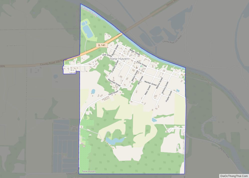
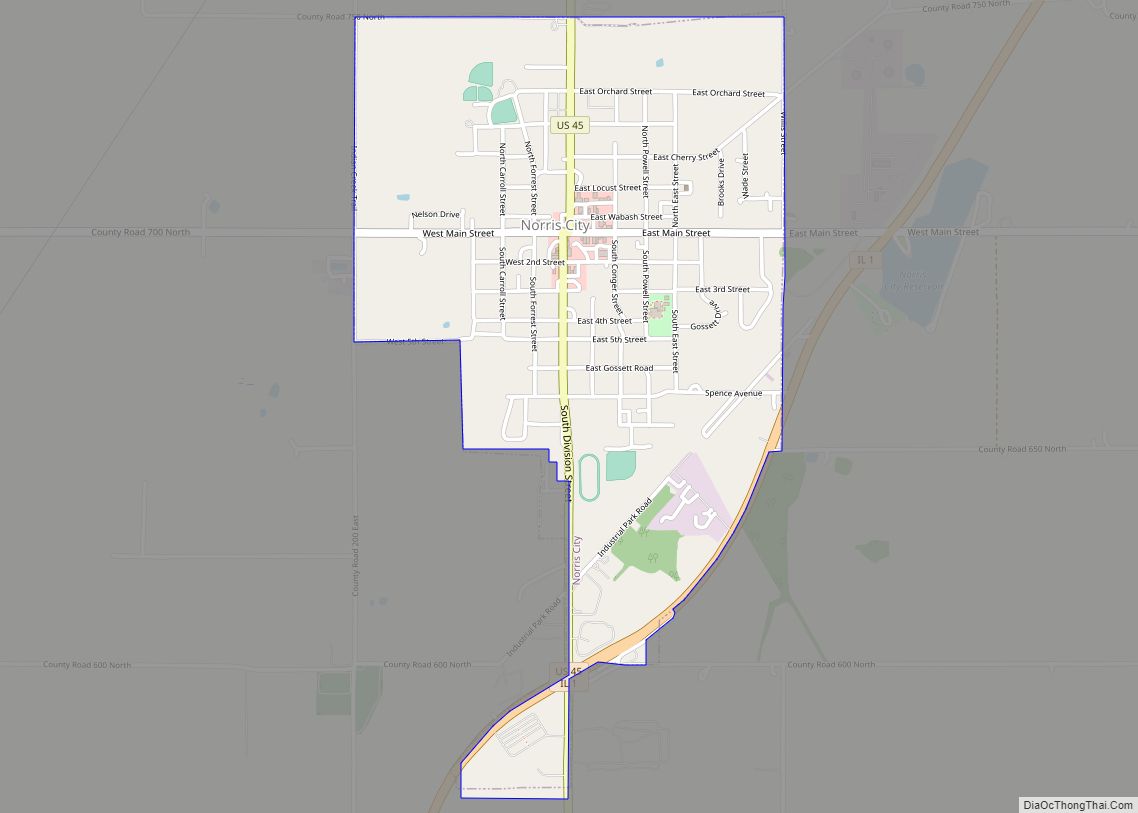
Online Interactive Map
Click on ![]() to view map in "full screen" mode.
to view map in "full screen" mode.
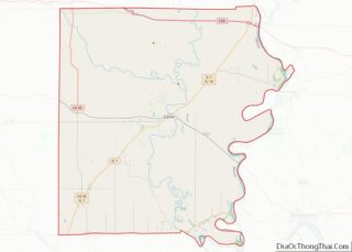
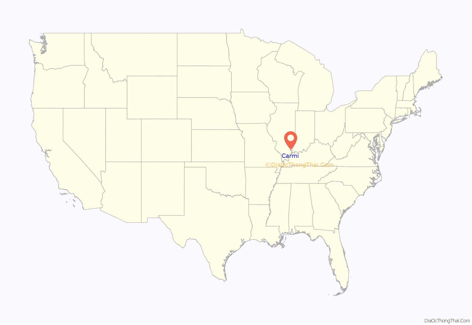
Carmi location map. Where is Carmi city?
History
Carmi post office has been in operation since 1817, and then a WPA oil on canvas mural called Service to the Farmer by Davenport Griffen was first displayed there in 1939. Carmi is a biblical name.
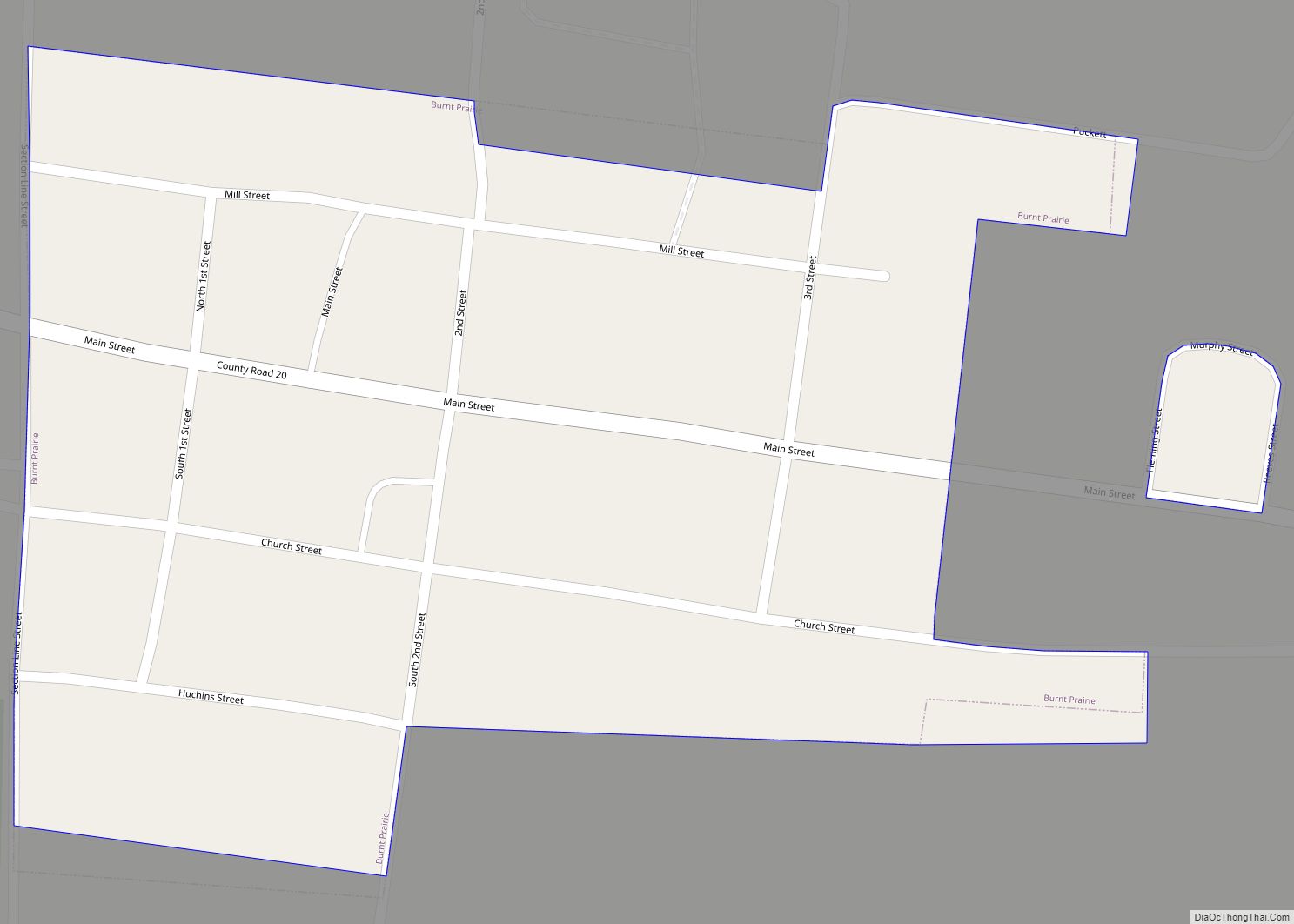
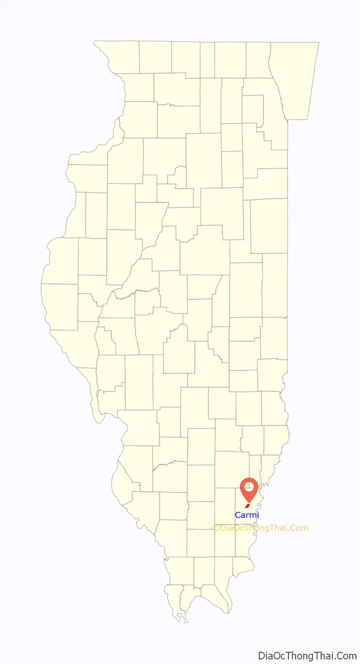
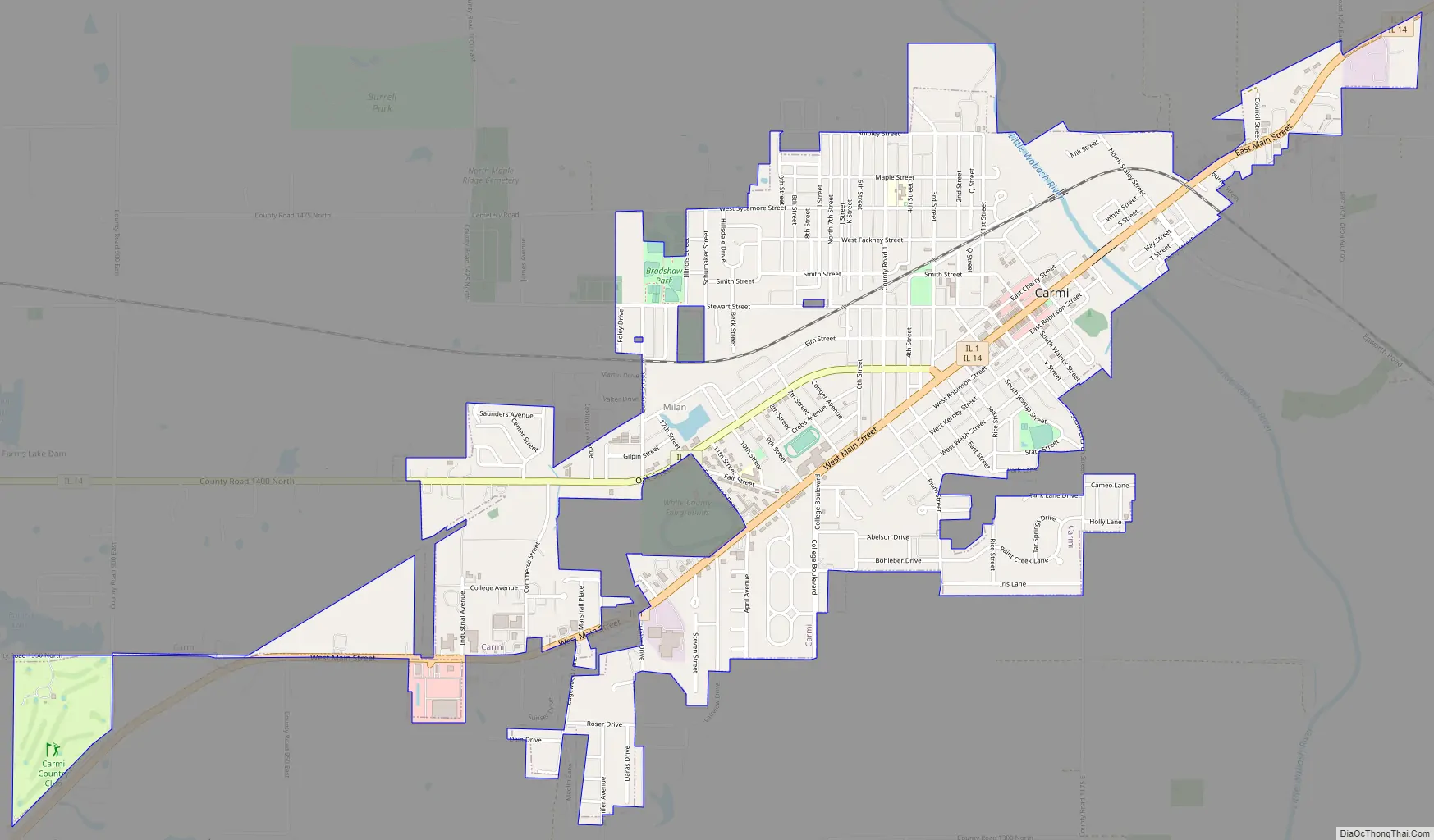
Carmi Road Map
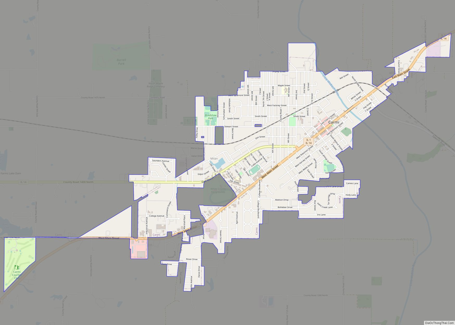
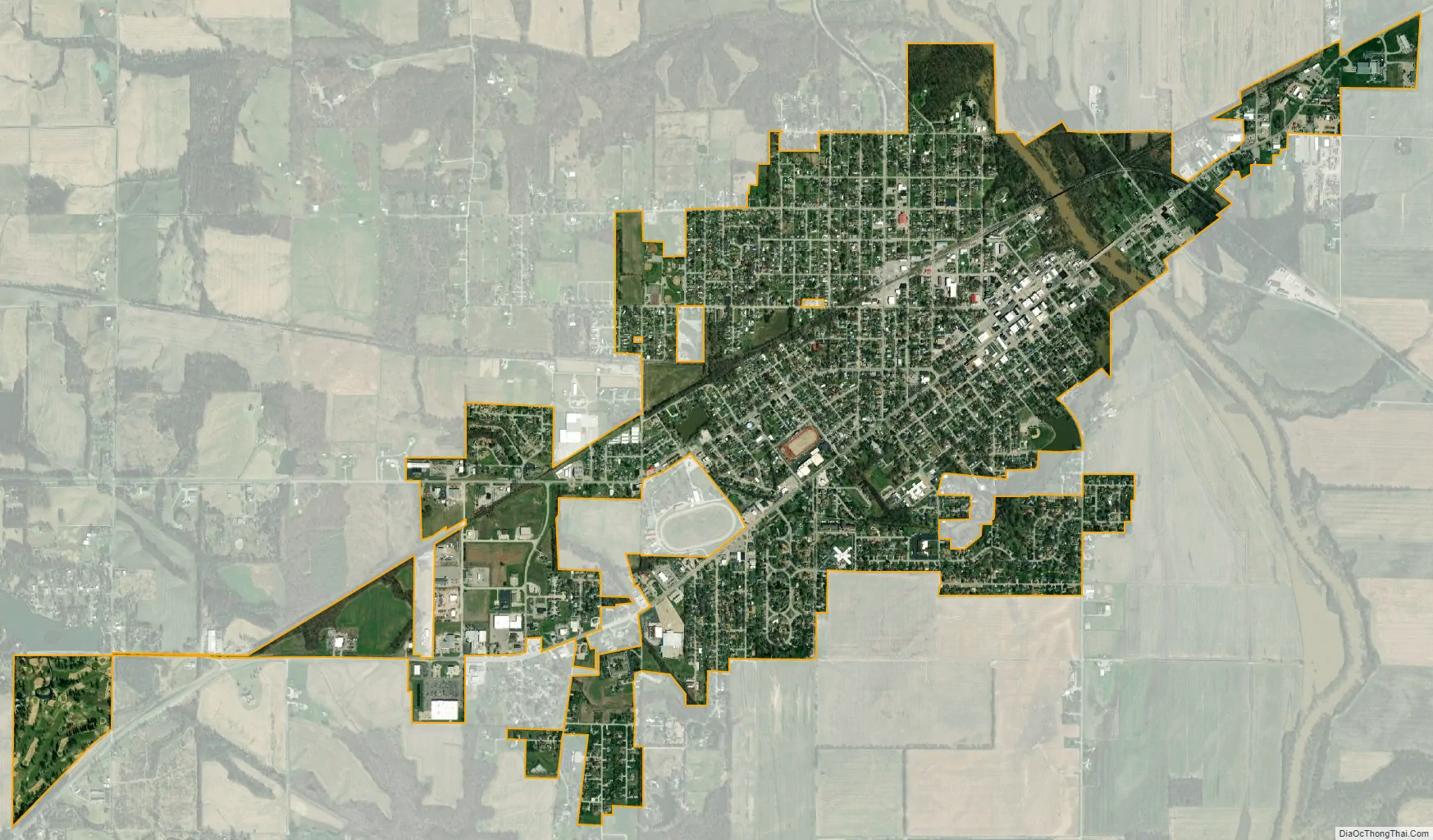
Carmi city Satellite Map
Geography
According to the 2010 census, Carmi has a total area of 2.531 square miles (6.56 km), of which 2.5 square miles (6.47 km) (or 98.78%) is land and 0.031 square miles (0.08 km) (or 1.22%) is water.
See also
Map of Illinois State and its subdivision:- Adams
- Alexander
- Bond
- Boone
- Brown
- Bureau
- Calhoun
- Carroll
- Cass
- Champaign
- Christian
- Clark
- Clay
- Clinton
- Coles
- Cook
- Crawford
- Cumberland
- De Kalb
- De Witt
- Douglas
- Dupage
- Edgar
- Edwards
- Effingham
- Fayette
- Ford
- Franklin
- Fulton
- Gallatin
- Greene
- Grundy
- Hamilton
- Hancock
- Hardin
- Henderson
- Henry
- Iroquois
- Jackson
- Jasper
- Jefferson
- Jersey
- Jo Daviess
- Johnson
- Kane
- Kankakee
- Kendall
- Knox
- La Salle
- Lake
- Lake Michigan
- Lawrence
- Lee
- Livingston
- Logan
- Macon
- Macoupin
- Madison
- Marion
- Marshall
- Mason
- Massac
- McDonough
- McHenry
- McLean
- Menard
- Mercer
- Monroe
- Montgomery
- Morgan
- Moultrie
- Ogle
- Peoria
- Perry
- Piatt
- Pike
- Pope
- Pulaski
- Putnam
- Randolph
- Richland
- Rock Island
- Saint Clair
- Saline
- Sangamon
- Schuyler
- Scott
- Shelby
- Stark
- Stephenson
- Tazewell
- Union
- Vermilion
- Wabash
- Warren
- Washington
- Wayne
- White
- Whiteside
- Will
- Williamson
- Winnebago
- Woodford
- Alabama
- Alaska
- Arizona
- Arkansas
- California
- Colorado
- Connecticut
- Delaware
- District of Columbia
- Florida
- Georgia
- Hawaii
- Idaho
- Illinois
- Indiana
- Iowa
- Kansas
- Kentucky
- Louisiana
- Maine
- Maryland
- Massachusetts
- Michigan
- Minnesota
- Mississippi
- Missouri
- Montana
- Nebraska
- Nevada
- New Hampshire
- New Jersey
- New Mexico
- New York
- North Carolina
- North Dakota
- Ohio
- Oklahoma
- Oregon
- Pennsylvania
- Rhode Island
- South Carolina
- South Dakota
- Tennessee
- Texas
- Utah
- Vermont
- Virginia
- Washington
- West Virginia
- Wisconsin
- Wyoming