Hainesville is a village in Avon Township, Lake County, Illinois, United States. Per the 2020 census, the population was 3,546. Hainesville has the distinction of being the oldest incorporated community within Lake County.
| Name: | Hainesville village |
|---|---|
| LSAD Code: | 47 |
| LSAD Description: | village (suffix) |
| State: | Illinois |
| County: | Lake County |
| Total Area: | 1.88 sq mi (4.87 km²) |
| Land Area: | 1.85 sq mi (4.78 km²) |
| Water Area: | 0.03 sq mi (0.09 km²) |
| Total Population: | 3,546 |
| Population Density: | 1,919.87/sq mi (741.30/km²) |
| FIPS code: | 1732200 |
| Website: | www.hainesville.org |
Online Interactive Map
Click on ![]() to view map in "full screen" mode.
to view map in "full screen" mode.
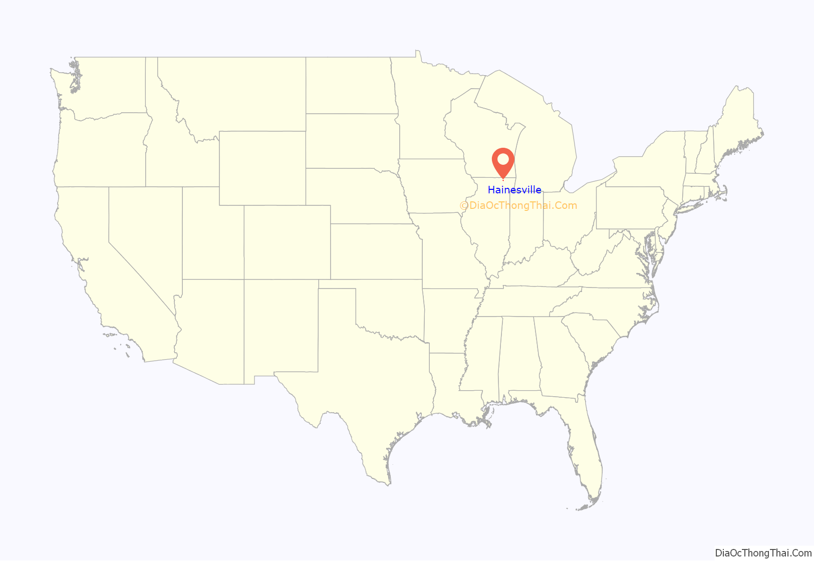
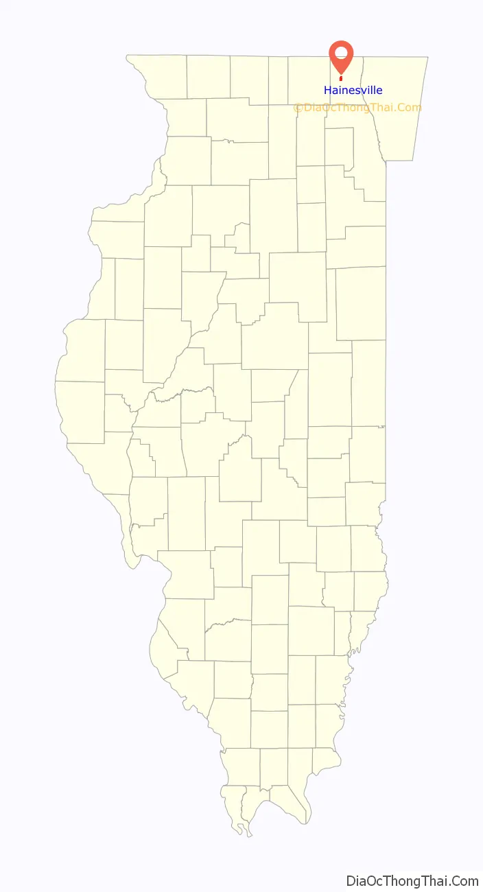
Hainesville location map. Where is Hainesville village?
History
In 1838, a young boy named Elijah M. Haines (1822–1889) and his family moved from New York City to the Chicago area. In 1836, the young boy purchased a farm in Hainesville. During the winter of 1841–42, Haines taught school in Waukegan, Illinois (then known as Little Fort). In 1846, he surveyed and platted Hainesville. On February 26, 1847, the village incorporation papers were drafted. It is recorded that Elijah Haines met Abraham Lincoln in 1847. The two men met frequently and became well acquainted. It has been said that Lincoln spent the night in Hainesville a few times.
In 1848, construction began on the Lake and McHenry Plank Road. By 1851, the road was completed to Squaw Creek just west of Hainesville, and the settlement became the location for one of three toll houses.
In 1851, Haines was accepted to the bar, and a year later he moved to Waukegan. In 1859, he was sent to the state legislature where he served eight terms. He was a member of the Illinois Constitutional Convention of 1869-70 and is considered by some historians to have been its most influential member.
Hainesville was becoming a thriving village, but the village all but disappeared off the map until recent years. In 1899, the Milwaukee Road railroad expanded into Lake County, providing convenient transportation from the area into Chicago. Local land owner, general store proprietor and Hainesville postmaster George Battershall asked for a large sum of money to build a train station in Hainesville. Milwaukee Road had no other options in Hainesville as the railway entered and exited the village of Hainesville on Battershall’s property (essentially everything south of the Plank Road in Hainesville). Amarias M. White, an early settler of what is now Round Lake, knowing that a railroad stop in Round Lake would spark commerce for his area, attracted the railroad company by offering the land for a depot for free. Unfortunately for Hainesville, commerce did start to move away from Hainesville and into Round Lake, as well as neighboring Grayslake.
The Hainesville post office closed in 1919. A few years later, the old wooden Hainesville School was destroyed by a tornado. In 1940, a new brick structure school was built near the Belvidere Road and Main Street split, but in 1945 the school became part of the Round Lake School system. In 1982, the building became Hainesville’s village hall until 2005 when a new hall was built on Hainesville Road.
After several decades of being not much more than a handful of crossroads, Hainesville finally exploded into a sprawling suburban neighborhood. In 1990, large parcels of what was once farm land to the east of Hainesville Road and north of Belvidere Road were developed into Misty Hill Farm by U.S. Shelter Group. In 1994 Deerpoint Trails was built by Deer Point Homes. In 2000, land around the south side of the former cranberry bog appropriately named Cranberry Lake just east of Hainesville Road was developed into homes. In 2001, the former Softball City, a multi-use sports complex adjacent to the Avon Township Youth Baseball Organization facilities, sold its land to Ryland Homes, and this became the townhouse community called Union Square.
In 2002, Grayslake Community Consolidated School District (CCSD) 46 built the kindergarten to 4th grade Prairieview School on Belvidere Road. In 2003, the land to the north of Cranberry Lake, just south of Washington Street, was developed into a townhouse community called Cranberry Lake North.
Despite a census just being taken in 2000, a special census was requested in 2004 due to the explosive growth of the area. This census yielded a population totaling 3,444, up over 60% from what it was only four years prior.
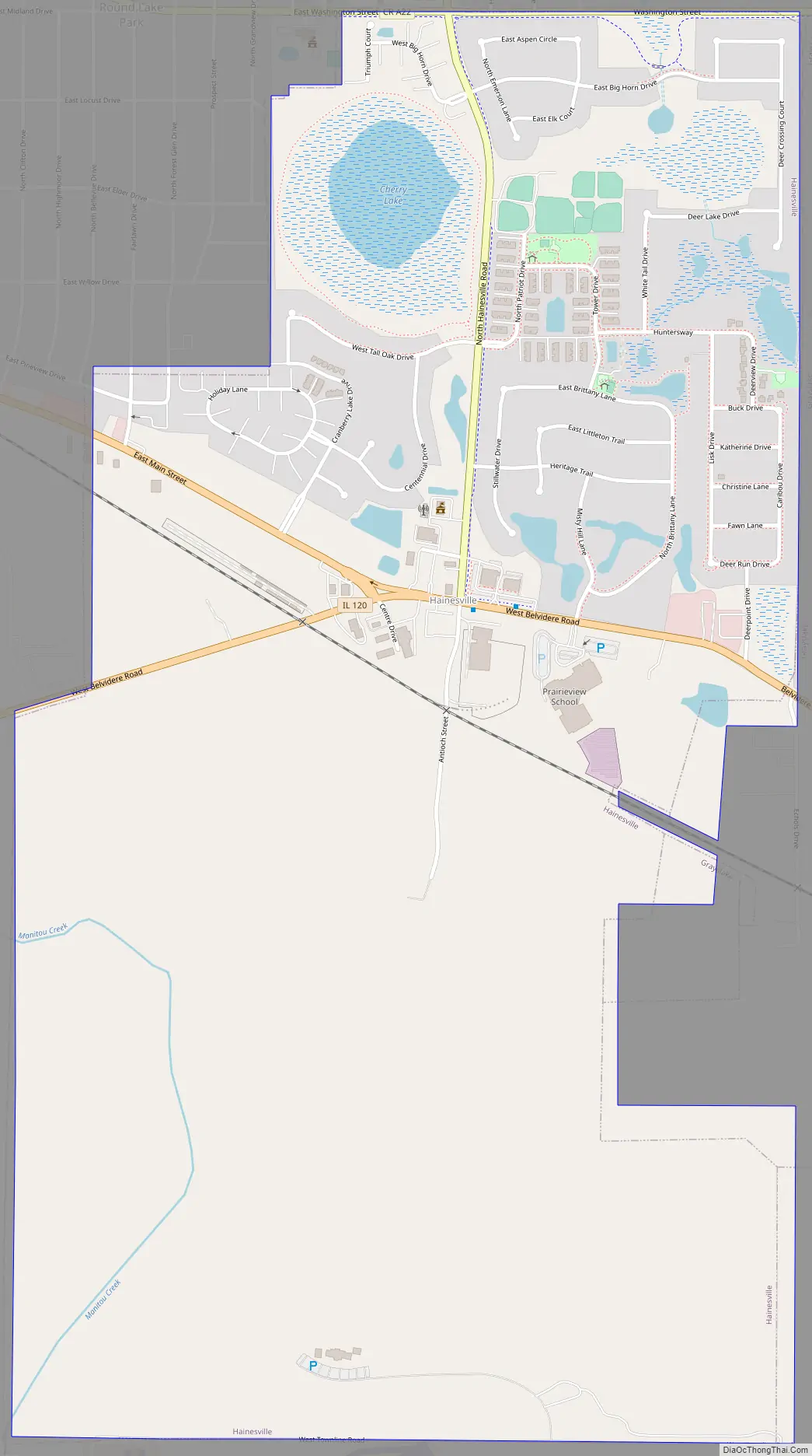
Hainesville Road Map
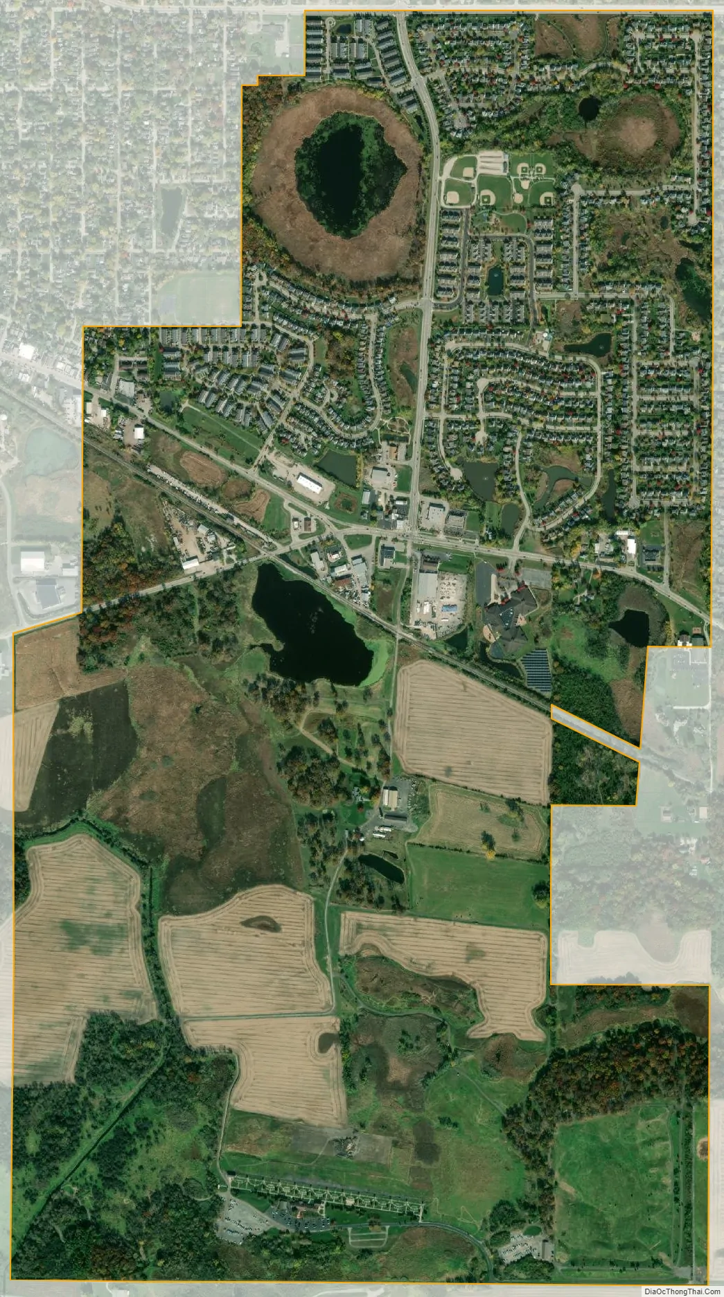
Hainesville city Satellite Map
Geography
Hainesville is located at 42°20′56″N 88°4′7″W / 42.34889°N 88.06861°W / 42.34889; -88.06861 (42.348754, -88.068743).
According to the 2010 census, Hainesville has a total area of 1.814 square miles (4.70 km), of which 1.78 square miles (4.61 km) (or 98.13%) is land and 0.034 square miles (0.09 km) (or 1.87%) is water.
Major streets
- Belvidere Road
- Main Street
- Washington Street
- Hainesville Road
See also
Map of Illinois State and its subdivision:- Adams
- Alexander
- Bond
- Boone
- Brown
- Bureau
- Calhoun
- Carroll
- Cass
- Champaign
- Christian
- Clark
- Clay
- Clinton
- Coles
- Cook
- Crawford
- Cumberland
- De Kalb
- De Witt
- Douglas
- Dupage
- Edgar
- Edwards
- Effingham
- Fayette
- Ford
- Franklin
- Fulton
- Gallatin
- Greene
- Grundy
- Hamilton
- Hancock
- Hardin
- Henderson
- Henry
- Iroquois
- Jackson
- Jasper
- Jefferson
- Jersey
- Jo Daviess
- Johnson
- Kane
- Kankakee
- Kendall
- Knox
- La Salle
- Lake
- Lake Michigan
- Lawrence
- Lee
- Livingston
- Logan
- Macon
- Macoupin
- Madison
- Marion
- Marshall
- Mason
- Massac
- McDonough
- McHenry
- McLean
- Menard
- Mercer
- Monroe
- Montgomery
- Morgan
- Moultrie
- Ogle
- Peoria
- Perry
- Piatt
- Pike
- Pope
- Pulaski
- Putnam
- Randolph
- Richland
- Rock Island
- Saint Clair
- Saline
- Sangamon
- Schuyler
- Scott
- Shelby
- Stark
- Stephenson
- Tazewell
- Union
- Vermilion
- Wabash
- Warren
- Washington
- Wayne
- White
- Whiteside
- Will
- Williamson
- Winnebago
- Woodford
- Alabama
- Alaska
- Arizona
- Arkansas
- California
- Colorado
- Connecticut
- Delaware
- District of Columbia
- Florida
- Georgia
- Hawaii
- Idaho
- Illinois
- Indiana
- Iowa
- Kansas
- Kentucky
- Louisiana
- Maine
- Maryland
- Massachusetts
- Michigan
- Minnesota
- Mississippi
- Missouri
- Montana
- Nebraska
- Nevada
- New Hampshire
- New Jersey
- New Mexico
- New York
- North Carolina
- North Dakota
- Ohio
- Oklahoma
- Oregon
- Pennsylvania
- Rhode Island
- South Carolina
- South Dakota
- Tennessee
- Texas
- Utah
- Vermont
- Virginia
- Washington
- West Virginia
- Wisconsin
- Wyoming


