Lisbon is a village in Kendall County, Illinois, United States. The population was 271 at the 2020 census.
The community was established in 1836 with a log tavern and a highway connecting Joliet to Chicago Road. This led to the addition of a post office, an enterprise, and a schoolhouse. The town became part of Kendall County in 1841.
John Moore is credited with naming Lisbon Township, a name with Portuguese origins.
According to Joseph R. Adams in the May 28, 1896, edition of the Kendall County News, “Though ten miles from a railroad, the villagers appear not wanting. They appear to be living better and happier than those differently situated.”
Lisbon is now home to Lisbon Consolidated School, the John Moore Park, West Lisbon Church, and Lisbon Bethlehem Lutheran Church.
| Name: | Lisbon village |
|---|---|
| LSAD Code: | 47 |
| LSAD Description: | village (suffix) |
| State: | Illinois |
| County: | Kendall County |
| Elevation: | 627 ft (191 m) |
| Total Area: | 2.12 sq mi (5.48 km²) |
| Land Area: | 2.12 sq mi (5.48 km²) |
| Water Area: | 0.00 sq mi (0.00 km²) |
| Total Population: | 271 |
| Population Density: | 128.01/sq mi (49.44/km²) |
| ZIP code: | 60541 |
| FIPS code: | 1743900 |
| GNISfeature ID: | 2398449 |
Online Interactive Map
Click on ![]() to view map in "full screen" mode.
to view map in "full screen" mode.
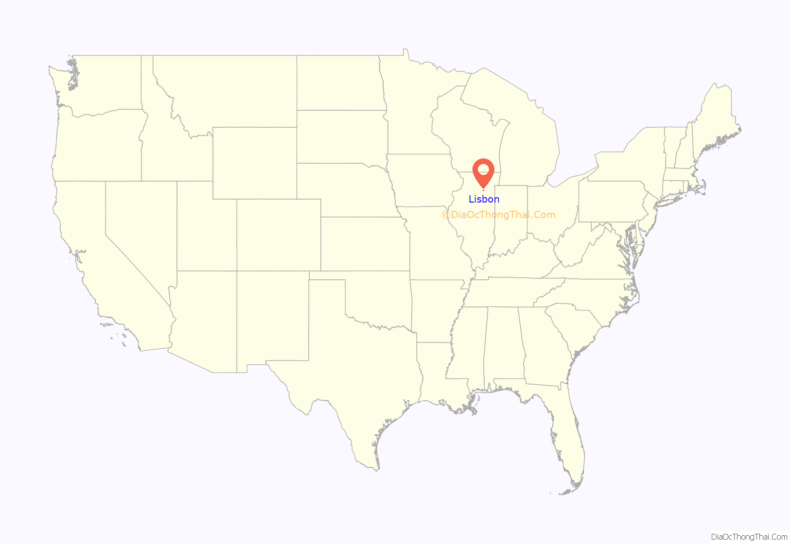
Lisbon location map. Where is Lisbon village?
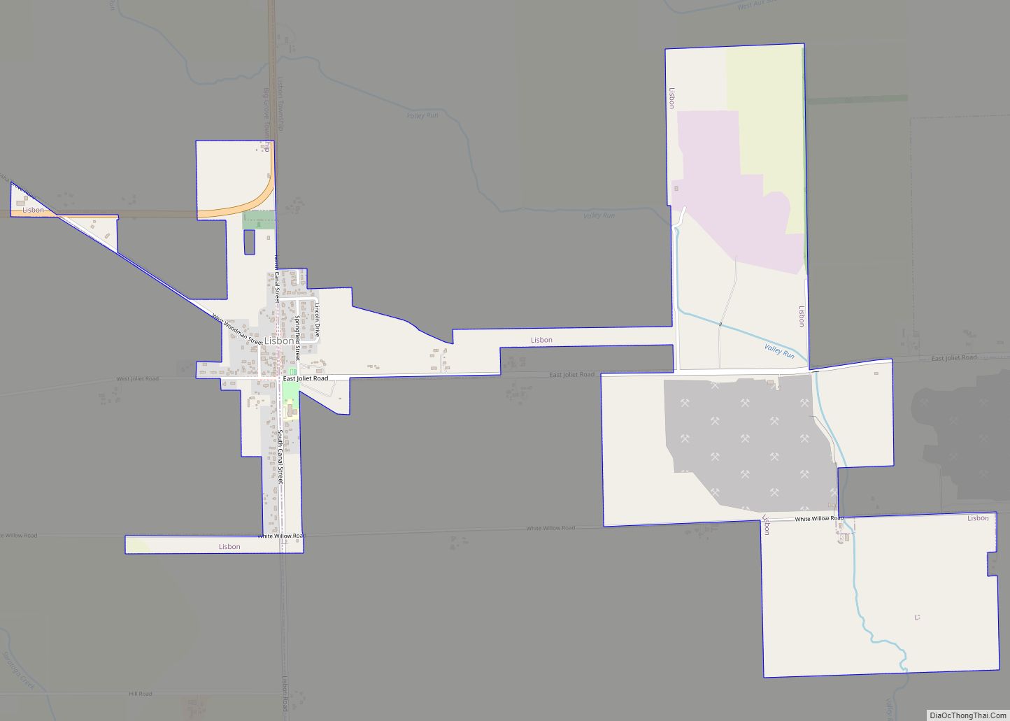
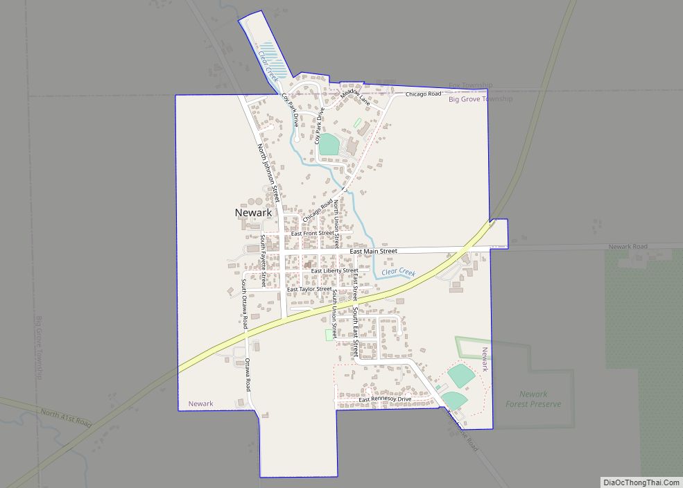
Lisbon Road Map
Lisbon city Satellite Map
Geography
Lisbon is located in southern Kendall County at 41°28′50″N 88°28′58″W / 41.48056°N 88.48278°W / 41.48056; -88.48278 (41.480600, -88.482740). It is 12 miles (19 km) south of Yorkville, the county seat, and 22 miles (35 km) west of Joliet. U.S. Route 52 passes through the north side of the village, leading east to Joliet and west 32 miles (51 km) to Troy Grove.
As of 2016, Lisbon has a total area of 5.9 square miles (15.3 km), of which 4.8 square miles (12.4 km) are land and 1.1 square miles (2.9 km), or 18.94%, are water.
See also
Map of Illinois State and its subdivision:- Adams
- Alexander
- Bond
- Boone
- Brown
- Bureau
- Calhoun
- Carroll
- Cass
- Champaign
- Christian
- Clark
- Clay
- Clinton
- Coles
- Cook
- Crawford
- Cumberland
- De Kalb
- De Witt
- Douglas
- Dupage
- Edgar
- Edwards
- Effingham
- Fayette
- Ford
- Franklin
- Fulton
- Gallatin
- Greene
- Grundy
- Hamilton
- Hancock
- Hardin
- Henderson
- Henry
- Iroquois
- Jackson
- Jasper
- Jefferson
- Jersey
- Jo Daviess
- Johnson
- Kane
- Kankakee
- Kendall
- Knox
- La Salle
- Lake
- Lake Michigan
- Lawrence
- Lee
- Livingston
- Logan
- Macon
- Macoupin
- Madison
- Marion
- Marshall
- Mason
- Massac
- McDonough
- McHenry
- McLean
- Menard
- Mercer
- Monroe
- Montgomery
- Morgan
- Moultrie
- Ogle
- Peoria
- Perry
- Piatt
- Pike
- Pope
- Pulaski
- Putnam
- Randolph
- Richland
- Rock Island
- Saint Clair
- Saline
- Sangamon
- Schuyler
- Scott
- Shelby
- Stark
- Stephenson
- Tazewell
- Union
- Vermilion
- Wabash
- Warren
- Washington
- Wayne
- White
- Whiteside
- Will
- Williamson
- Winnebago
- Woodford
- Alabama
- Alaska
- Arizona
- Arkansas
- California
- Colorado
- Connecticut
- Delaware
- District of Columbia
- Florida
- Georgia
- Hawaii
- Idaho
- Illinois
- Indiana
- Iowa
- Kansas
- Kentucky
- Louisiana
- Maine
- Maryland
- Massachusetts
- Michigan
- Minnesota
- Mississippi
- Missouri
- Montana
- Nebraska
- Nevada
- New Hampshire
- New Jersey
- New Mexico
- New York
- North Carolina
- North Dakota
- Ohio
- Oklahoma
- Oregon
- Pennsylvania
- Rhode Island
- South Carolina
- South Dakota
- Tennessee
- Texas
- Utah
- Vermont
- Virginia
- Washington
- West Virginia
- Wisconsin
- Wyoming
