Montgomery is a village within the Chicago Metropolitan Area of Kane and Kendall counties, Illinois. The village is a suburb of Chicago located roughly 45 miles (72 km) southwest of the city. The population was 20,262 at the 2020 census. Between 2000 and 2010 the village population grew 237 percent, making Montgomery the ninth fastest growing municipality in Illinois during the decade.
| Name: | Montgomery village |
|---|---|
| LSAD Code: | 47 |
| LSAD Description: | village (suffix) |
| State: | Illinois |
| County: | Kane County, Kendall County |
| Incorporated: | February 17, 1858 (1858-02-17) |
| Elevation: | 663 ft (202 m) |
| Total Area: | 9.55 sq mi (24.72 km²) |
| Land Area: | 9.30 sq mi (24.08 km²) |
| Water Area: | 0.25 sq mi (0.64 km²) |
| Total Population: | 20,262 |
| Population Density: | 2,178.94/sq mi (841.32/km²) |
| ZIP code: | 60538 |
| FIPS code: | 1750218 |
| GNISfeature ID: | 2399387 |
| Website: | ci.montgomery.il.us |
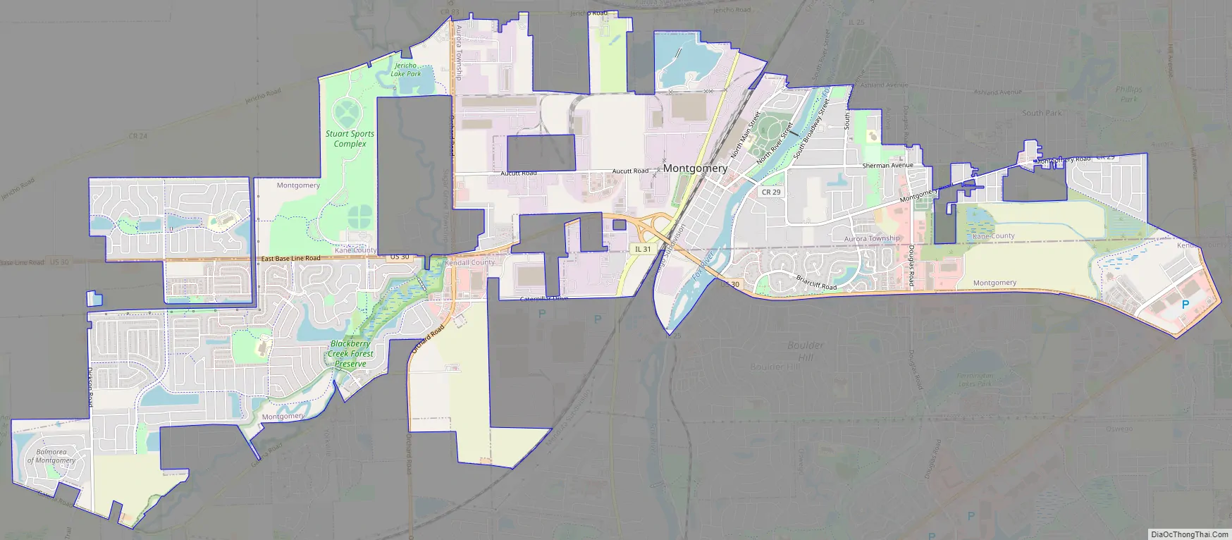
Online Interactive Map
Click on ![]() to view map in "full screen" mode.
to view map in "full screen" mode.
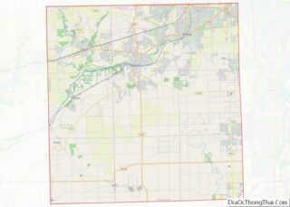
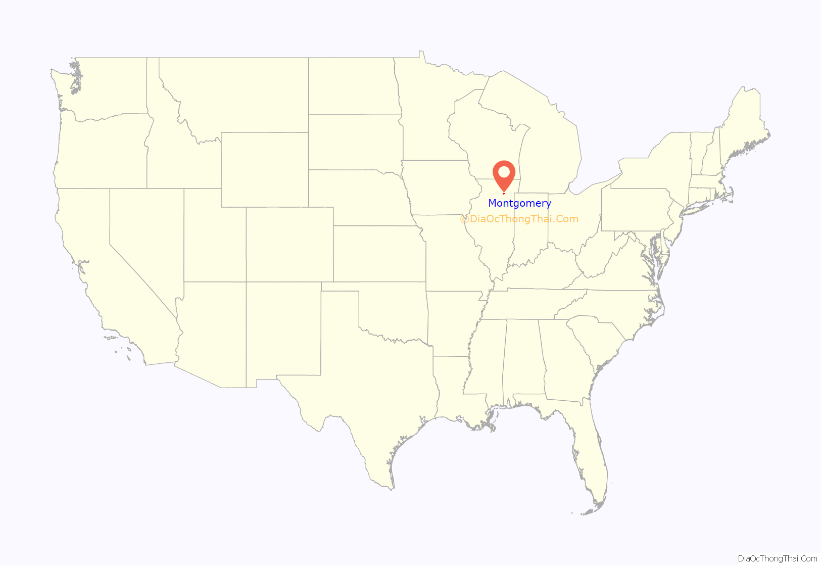
Montgomery location map. Where is Montgomery village?

History
The first European settler arriving in the area was Jacob Carpenter, who came to the Chicago area from Logan County, Ohio, in November 1832. In the fall of 1835, Daniel S. Gray, from Montgomery County, New York, visited the area where his brother Nicholas Gray had located in the previous spring, on a farm now within the limits of Kendall County. He made immediate preparations to settle there, and in the fall of 1836, after his family moved from New York state, he built the first wooden house in the area. It was located in the southern part of what is now Montgomery, near the west bank of the Fox River.
Daniel Gray is considered the founder of Montgomery, and bought land grants from the federal government, and had ownership of large tracts of land.
The settlement was called “Graystown” for several years, but eventually Gray convinced other settlers to call the small village “Montgomery” after the New York county where he and several other settlers had origins.
Daniel Gray founded many companies in Montgomery, including a tavern, store, warehouse, foundry, combine and fabrication shop, and one of the best stone grain mills in the county (Gray–Watkins Mill). Gray was making preparations for more business operations, including the establishment of a stationary engine factory, when he died in October 1855. Upon his death, he still owned the majority of the lots in the village. His heirs continued to sell these lots and the village continued to grow.
On February 17, 1858, the village of Montgomery was incorporated. Ralph Gray, son of Daniel Gray, was elected as the first village president. The population of Montgomery remained fairly consistent at about 300 people during the rest of the 1800s.
For much of the twentieth century, the village grew slowly and steadily. Lyon Metal was founded in Montgomery in 1904, and participated in the war effort of World War II. The Aurora Caterpillar manufacturing plant located along the southern border of Montgomery has been producing wheel-loaders since 1959. Western Electric had its Montgomery Works plant along River Street, which became Lucent Technologies and was closed in 1995. In 1962, this factory employed 1,500 people and made telephone parts.
In the beginning of the twenty-first century, Montgomery experienced rapid growth, along with many other communities in Kendall and Kane counties. The 2010 Census documented a population of 18,438 for Montgomery, representing a 237% increase over the previous ten years and making Montgomery one of the fastest-growing communities in Illinois.
In 2003, the Montgomery Economic Development Corporation was founded as a not-for-profit to bring more businesses and jobs to Montgomery. Currently, Caterpillar Machines and Rush-Copley Medical Center are two organizations who have received incentives in exchange for bringing jobs to Montgomery.
Montgomery Road Map
Montgomery city Satellite Map

Geography
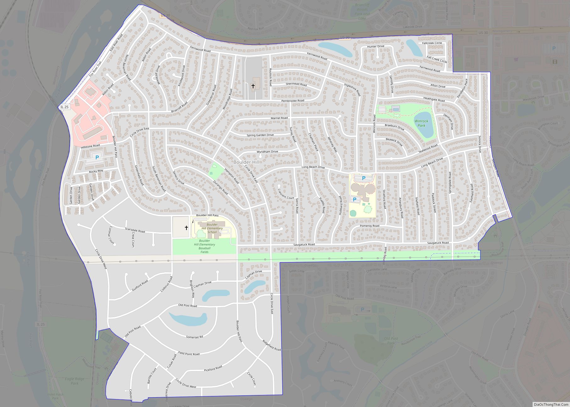
Montgomery is located in southern Kane County and northern Kendall County. It is bordered to the north and east by Aurora, to the south by Oswego and Boulder Hill, and to the southwest by Yorkville. The village sits on both sides of the Fox River. U.S. Route 30 passes through the village, leading southeast 11 miles (18 km) to Plainfield and northwest 7 miles (11 km) to Sugar Grove. Illinois Route 31 runs through the village on the west side of the Fox River, leading northeast 2.5 miles (4.0 km) to the center of Aurora and southwest 3.5 miles (5.6 km) to the center of Oswego. Illinois Route 25 runs along the east side of the Fox River, also leading to Aurora and Oswego.
According to the 2010 census, Montgomery has a total area of 9.512 square miles (24.64 km), of which 9.34 square miles (24.19 km) (or 98.19%) is land and 0.172 square miles (0.45 km) (or 1.81%) is water.
See also
Map of Illinois State and its subdivision:- Adams
- Alexander
- Bond
- Boone
- Brown
- Bureau
- Calhoun
- Carroll
- Cass
- Champaign
- Christian
- Clark
- Clay
- Clinton
- Coles
- Cook
- Crawford
- Cumberland
- De Kalb
- De Witt
- Douglas
- Dupage
- Edgar
- Edwards
- Effingham
- Fayette
- Ford
- Franklin
- Fulton
- Gallatin
- Greene
- Grundy
- Hamilton
- Hancock
- Hardin
- Henderson
- Henry
- Iroquois
- Jackson
- Jasper
- Jefferson
- Jersey
- Jo Daviess
- Johnson
- Kane
- Kankakee
- Kendall
- Knox
- La Salle
- Lake
- Lake Michigan
- Lawrence
- Lee
- Livingston
- Logan
- Macon
- Macoupin
- Madison
- Marion
- Marshall
- Mason
- Massac
- McDonough
- McHenry
- McLean
- Menard
- Mercer
- Monroe
- Montgomery
- Morgan
- Moultrie
- Ogle
- Peoria
- Perry
- Piatt
- Pike
- Pope
- Pulaski
- Putnam
- Randolph
- Richland
- Rock Island
- Saint Clair
- Saline
- Sangamon
- Schuyler
- Scott
- Shelby
- Stark
- Stephenson
- Tazewell
- Union
- Vermilion
- Wabash
- Warren
- Washington
- Wayne
- White
- Whiteside
- Will
- Williamson
- Winnebago
- Woodford
- Alabama
- Alaska
- Arizona
- Arkansas
- California
- Colorado
- Connecticut
- Delaware
- District of Columbia
- Florida
- Georgia
- Hawaii
- Idaho
- Illinois
- Indiana
- Iowa
- Kansas
- Kentucky
- Louisiana
- Maine
- Maryland
- Massachusetts
- Michigan
- Minnesota
- Mississippi
- Missouri
- Montana
- Nebraska
- Nevada
- New Hampshire
- New Jersey
- New Mexico
- New York
- North Carolina
- North Dakota
- Ohio
- Oklahoma
- Oregon
- Pennsylvania
- Rhode Island
- South Carolina
- South Dakota
- Tennessee
- Texas
- Utah
- Vermont
- Virginia
- Washington
- West Virginia
- Wisconsin
- Wyoming