Mahomet (/məˈhɒmɪt/) is a village in Champaign County, Illinois, United States. The population was 9,434 at the 2020 census. Mahomet is located approximately 10 miles northwest of Champaign at the junction of Interstate 74 and IL 47.
| Name: | Mahomet village |
|---|---|
| LSAD Code: | 47 |
| LSAD Description: | village (suffix) |
| State: | Illinois |
| County: | Champaign County |
| Elevation: | 715 ft (218 m) |
| Total Area: | 9.79 sq mi (25.36 km²) |
| Land Area: | 9.72 sq mi (25.18 km²) |
| Water Area: | 0.07 sq mi (0.18 km²) |
| Total Population: | 9,434 |
| Population Density: | 970.38/sq mi (374.67/km²) |
| ZIP code: | 61853 |
| Area code: | 217 |
| FIPS code: | 1746136 |
| Website: | www.mahomet-il.gov |
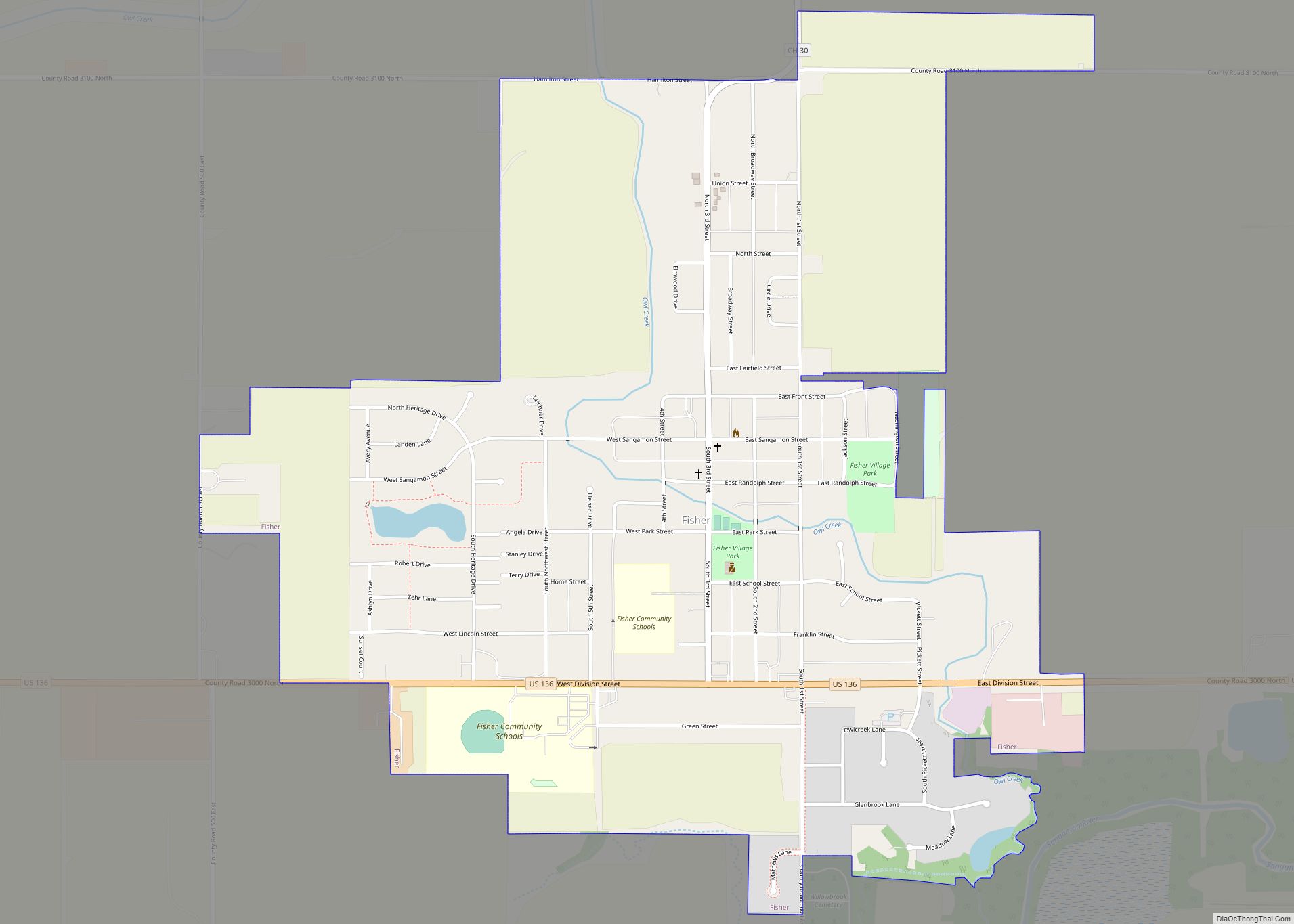
Online Interactive Map
Click on ![]() to view map in "full screen" mode.
to view map in "full screen" mode.
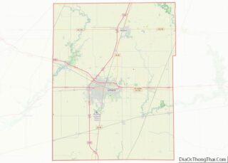
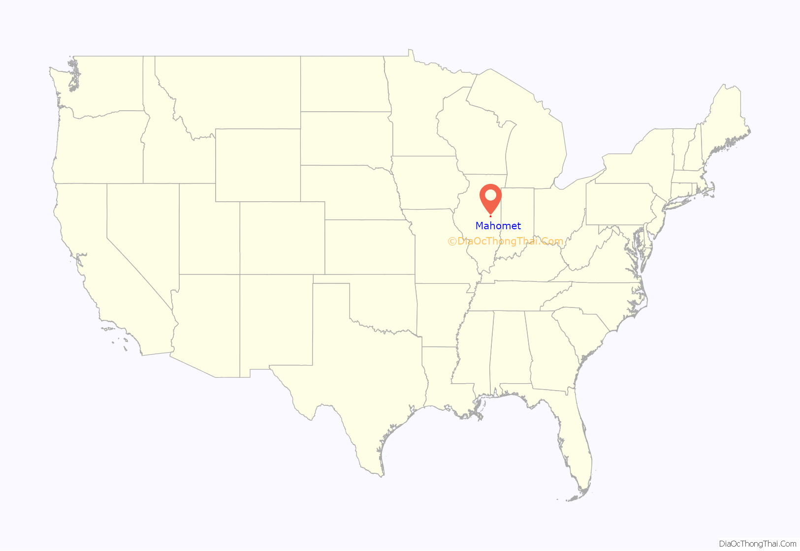
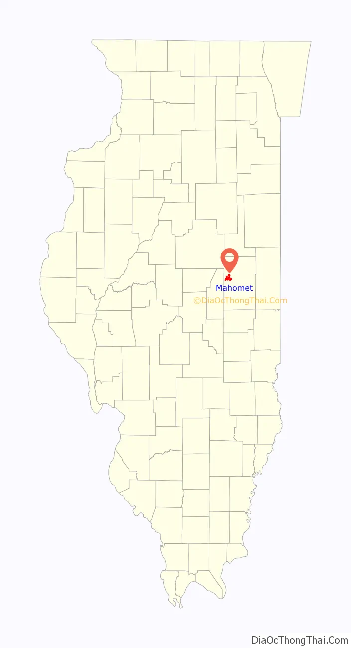
Mahomet location map. Where is Mahomet village?
History
The village of Mahomet was first settled in 1832 on the banks of the Sangamon River. It was the first community to be established in modern-day Champaign County. The original village name was Middletown, possibly because it is half-way between the towns of Danville and Bloomington. In 1871, the name of the village was changed to Mahomet because there was already another Middletown in Illinois, which was causing mail problems. Most early settlers came from Ohio, Virginia, Kentucky, and Pennsylvania and chose to reside in Mahomet because there was abundant water from the Sangamon River and abundant trees. Currently, most residents commute around 10 miles (16 km) to the cities of Champaign and Urbana to work, although the village has a thriving small business district.
The town’s own published account credits their founder Daniel T. Porter, who had Connecticut roots, as the one who denominated both the new village as Middletown (after Middletown, Connecticut) and the post office as Mahomet (after Mahomet Weyonomon, a Mohegan sachem from Connecticut). With the arrival of the railroad, the town embraced the name of its post office in 1871 because there already was a Middletown, Illinois. However, alternative theories of the origin of the name “Mahomet” also exist. One derives the word from the “Mahomet Lodge,” the local Masonic Lodge at the time the town was searching for a new name. Its use as the name of the lodge was a manifestation of the Freemasons’ liberal use of religious names and stonemason tools and symbols. Alternatively, the town’s name was arbitrarily assigned when the conflicting names were noted by the US Postal Service. Another theory proposes Muhammad as the town’s namesake.
In 2007, the citizens of Mahomet voted to repeal the alcohol prohibition order that had been in place since World War II.
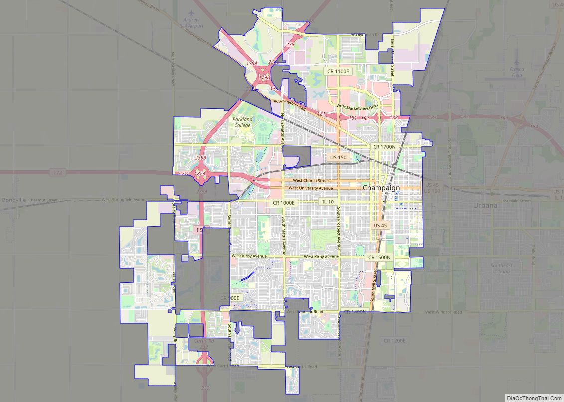
Mahomet Road Map
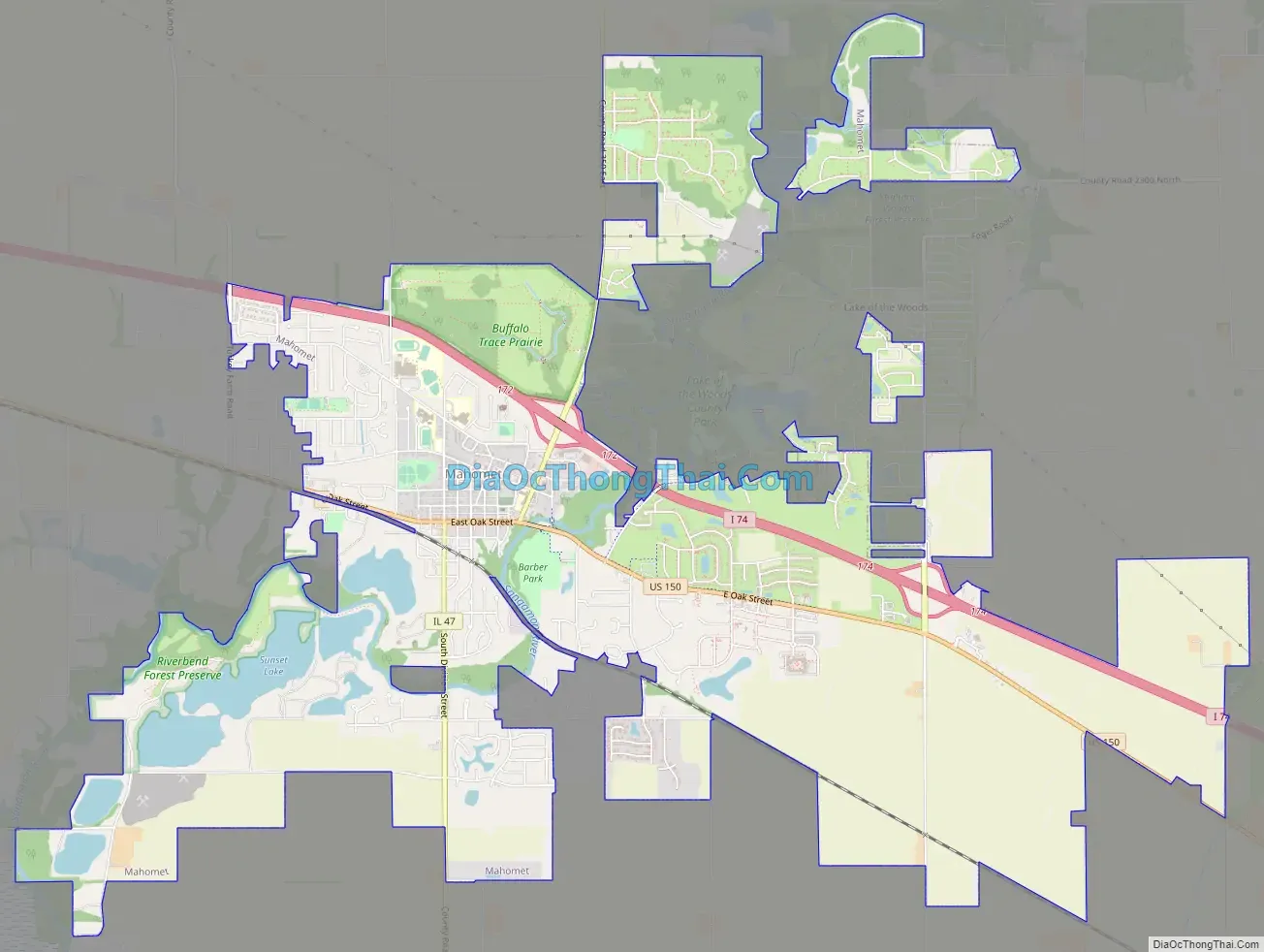
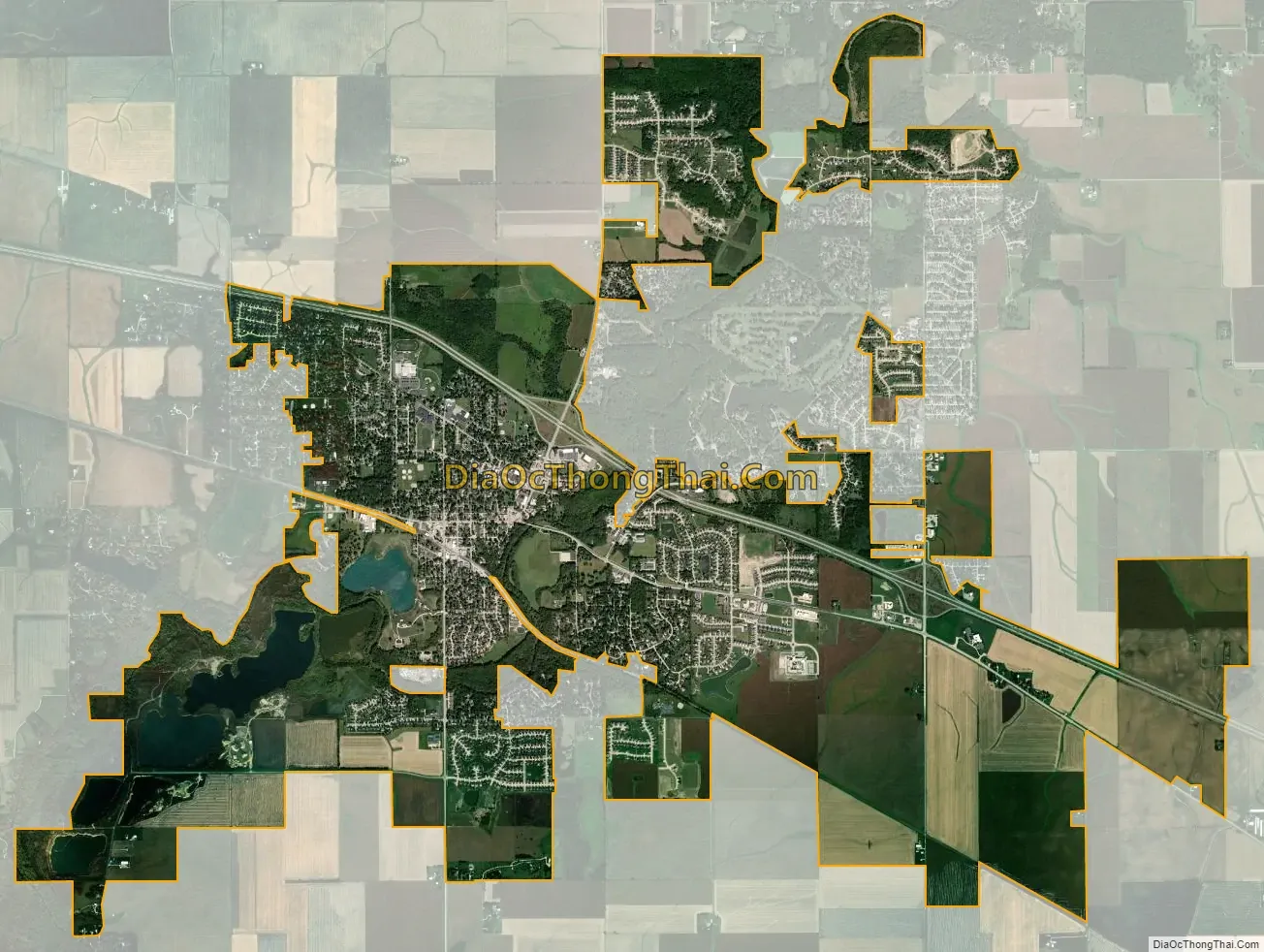
Mahomet city Satellite Map
Geography
Mahomet is located at 40°11′33″N 88°24′8″W / 40.19250°N 88.40222°W / 40.19250; -88.40222 (40.192384, -88.402115).
According to the 2021 census gazetteer files, Mahomet has a total area of 9.79 square miles (25.36 km), of which 9.72 square miles (25.17 km) (or 99.29%) is land and 0.07 square miles (0.18 km) (or 0.71%) is water.
See also
Map of Illinois State and its subdivision:- Adams
- Alexander
- Bond
- Boone
- Brown
- Bureau
- Calhoun
- Carroll
- Cass
- Champaign
- Christian
- Clark
- Clay
- Clinton
- Coles
- Cook
- Crawford
- Cumberland
- De Kalb
- De Witt
- Douglas
- Dupage
- Edgar
- Edwards
- Effingham
- Fayette
- Ford
- Franklin
- Fulton
- Gallatin
- Greene
- Grundy
- Hamilton
- Hancock
- Hardin
- Henderson
- Henry
- Iroquois
- Jackson
- Jasper
- Jefferson
- Jersey
- Jo Daviess
- Johnson
- Kane
- Kankakee
- Kendall
- Knox
- La Salle
- Lake
- Lake Michigan
- Lawrence
- Lee
- Livingston
- Logan
- Macon
- Macoupin
- Madison
- Marion
- Marshall
- Mason
- Massac
- McDonough
- McHenry
- McLean
- Menard
- Mercer
- Monroe
- Montgomery
- Morgan
- Moultrie
- Ogle
- Peoria
- Perry
- Piatt
- Pike
- Pope
- Pulaski
- Putnam
- Randolph
- Richland
- Rock Island
- Saint Clair
- Saline
- Sangamon
- Schuyler
- Scott
- Shelby
- Stark
- Stephenson
- Tazewell
- Union
- Vermilion
- Wabash
- Warren
- Washington
- Wayne
- White
- Whiteside
- Will
- Williamson
- Winnebago
- Woodford
- Alabama
- Alaska
- Arizona
- Arkansas
- California
- Colorado
- Connecticut
- Delaware
- District of Columbia
- Florida
- Georgia
- Hawaii
- Idaho
- Illinois
- Indiana
- Iowa
- Kansas
- Kentucky
- Louisiana
- Maine
- Maryland
- Massachusetts
- Michigan
- Minnesota
- Mississippi
- Missouri
- Montana
- Nebraska
- Nevada
- New Hampshire
- New Jersey
- New Mexico
- New York
- North Carolina
- North Dakota
- Ohio
- Oklahoma
- Oregon
- Pennsylvania
- Rhode Island
- South Carolina
- South Dakota
- Tennessee
- Texas
- Utah
- Vermont
- Virginia
- Washington
- West Virginia
- Wisconsin
- Wyoming