Maryville is a village in Madison County, Illinois, United States. The population was 8,221 at the 2020 census, up from 7,487 in 2010.
| Name: | Maryville village |
|---|---|
| LSAD Code: | 47 |
| LSAD Description: | village (suffix) |
| State: | Illinois |
| County: | Madison County |
| Elevation: | 568 ft (173 m) |
| Total Area: | 5.76 sq mi (14.93 km²) |
| Land Area: | 5.68 sq mi (14.72 km²) |
| Water Area: | 0.08 sq mi (0.20 km²) |
| Total Population: | 8,221 |
| Population Density: | 1,446.09/sq mi (558.36/km²) |
| ZIP code: | 62062 |
| Area code: | 618 |
| FIPS code: | 1747397 |
| GNISfeature ID: | 2399269 |
| Website: | www.vil.maryville.il.us |
Online Interactive Map
Click on ![]() to view map in "full screen" mode.
to view map in "full screen" mode.
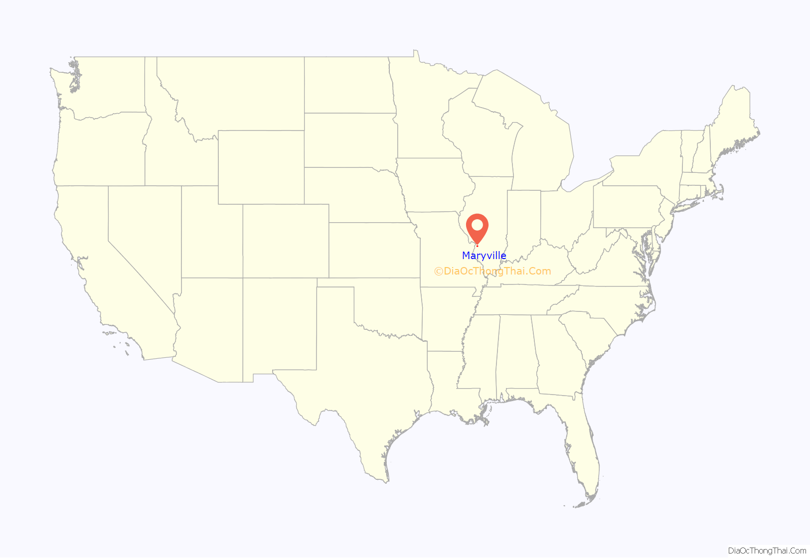
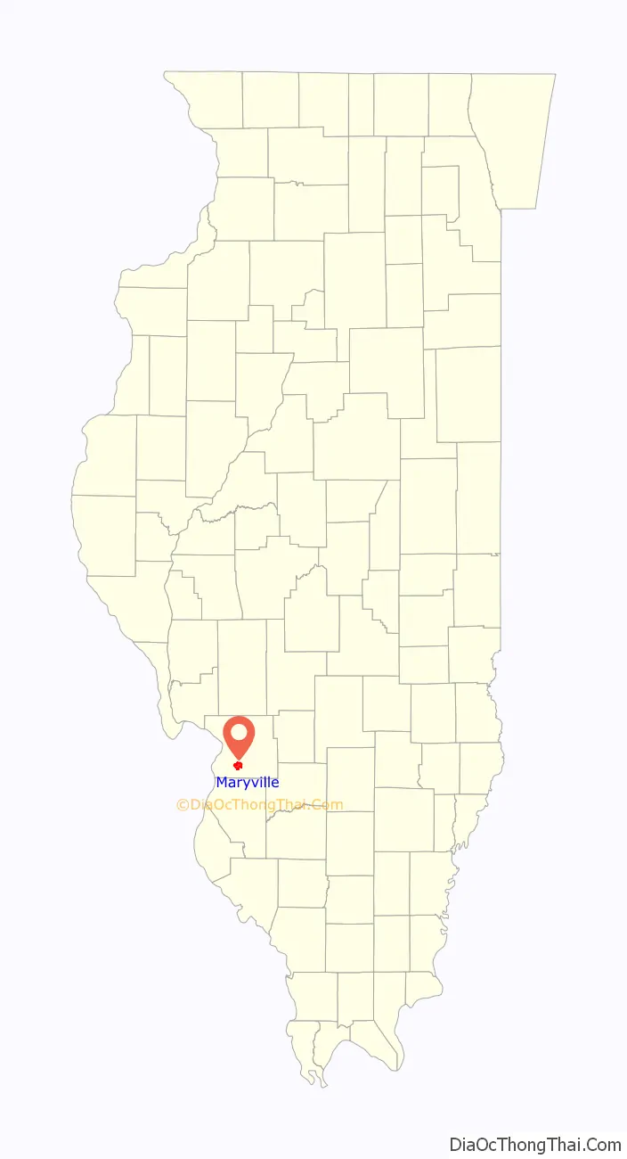
Maryville location map. Where is Maryville village?
History
Coal mining was historically the principal industry in Maryville. Maryville was incorporated on July 21, 1902.
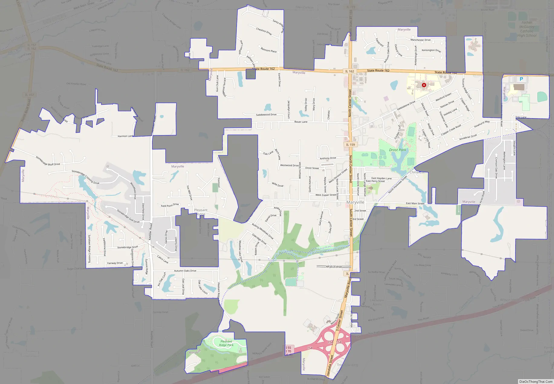
Maryville Road Map
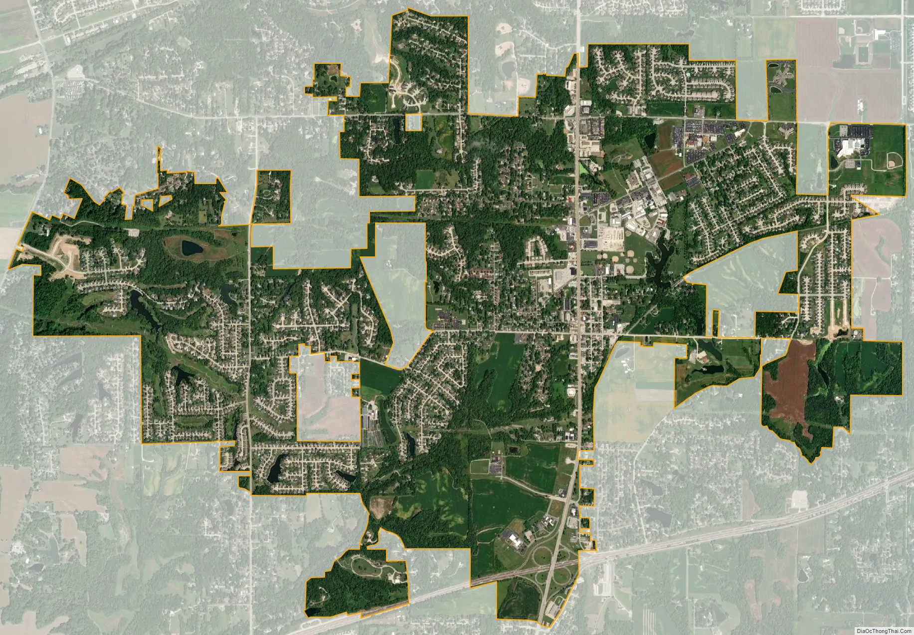
Maryville city Satellite Map
Geography
Maryville is located in southern Madison County at 38°43′31″N 89°57′28″W / 38.72528°N 89.95778°W / 38.72528; -89.95778 (38.725298, -89.957674). It is 17 miles (27 km) northeast of downtown St. Louis, Missouri. It is bordered to the north by Glen Carbon, to the east by Troy, and to the south by Collinsville.
Illinois Route 159 passes through the village as Center Street, leading north 6 miles (10 km) to Edwardsville, the Madison county seat, and south 4 miles (6 km) to the center of Collinsville. Illinois Route 162 crosses the northern part of the village, leading east 4 miles (6 km) to Troy and west 6 miles (10 km) to Pontoon Beach. Interstates 55 and 70 cross the southern end of Maryville together, with access from Exit 15 (IL 159).
According to the U.S. Census Bureau, Maryville has a total area of 5.76 square miles (14.92 km), of which 5.69 square miles (14.74 km) are land and 0.075 square miles (0.19 km), or 1.30%, are water.
See also
Map of Illinois State and its subdivision:- Adams
- Alexander
- Bond
- Boone
- Brown
- Bureau
- Calhoun
- Carroll
- Cass
- Champaign
- Christian
- Clark
- Clay
- Clinton
- Coles
- Cook
- Crawford
- Cumberland
- De Kalb
- De Witt
- Douglas
- Dupage
- Edgar
- Edwards
- Effingham
- Fayette
- Ford
- Franklin
- Fulton
- Gallatin
- Greene
- Grundy
- Hamilton
- Hancock
- Hardin
- Henderson
- Henry
- Iroquois
- Jackson
- Jasper
- Jefferson
- Jersey
- Jo Daviess
- Johnson
- Kane
- Kankakee
- Kendall
- Knox
- La Salle
- Lake
- Lake Michigan
- Lawrence
- Lee
- Livingston
- Logan
- Macon
- Macoupin
- Madison
- Marion
- Marshall
- Mason
- Massac
- McDonough
- McHenry
- McLean
- Menard
- Mercer
- Monroe
- Montgomery
- Morgan
- Moultrie
- Ogle
- Peoria
- Perry
- Piatt
- Pike
- Pope
- Pulaski
- Putnam
- Randolph
- Richland
- Rock Island
- Saint Clair
- Saline
- Sangamon
- Schuyler
- Scott
- Shelby
- Stark
- Stephenson
- Tazewell
- Union
- Vermilion
- Wabash
- Warren
- Washington
- Wayne
- White
- Whiteside
- Will
- Williamson
- Winnebago
- Woodford
- Alabama
- Alaska
- Arizona
- Arkansas
- California
- Colorado
- Connecticut
- Delaware
- District of Columbia
- Florida
- Georgia
- Hawaii
- Idaho
- Illinois
- Indiana
- Iowa
- Kansas
- Kentucky
- Louisiana
- Maine
- Maryland
- Massachusetts
- Michigan
- Minnesota
- Mississippi
- Missouri
- Montana
- Nebraska
- Nevada
- New Hampshire
- New Jersey
- New Mexico
- New York
- North Carolina
- North Dakota
- Ohio
- Oklahoma
- Oregon
- Pennsylvania
- Rhode Island
- South Carolina
- South Dakota
- Tennessee
- Texas
- Utah
- Vermont
- Virginia
- Washington
- West Virginia
- Wisconsin
- Wyoming


