Pontoon Beach is a village in Madison County, Illinois, United States. The population was 5,876 at the 2020 census. It is part of the St. Louis metropolitan area.
| Name: | Pontoon Beach village |
|---|---|
| LSAD Code: | 47 |
| LSAD Description: | village (suffix) |
| State: | Illinois |
| County: | Madison County |
| Elevation: | 410 ft (120 m) |
| Total Area: | 12.44 sq mi (32.22 km²) |
| Land Area: | 9.96 sq mi (25.80 km²) |
| Water Area: | 2.48 sq mi (6.42 km²) |
| Total Population: | 5,876 |
| Population Density: | 589.96/sq mi (227.78/km²) |
| ZIP code: | 62040 (Pontoon Beach) 62025 (Edwardsville) |
| Area code: | 618 |
| FIPS code: | 1761067 |
| GNISfeature ID: | 2398997 |
| Website: | pontoonbeachil.com |
Online Interactive Map
Click on ![]() to view map in "full screen" mode.
to view map in "full screen" mode.
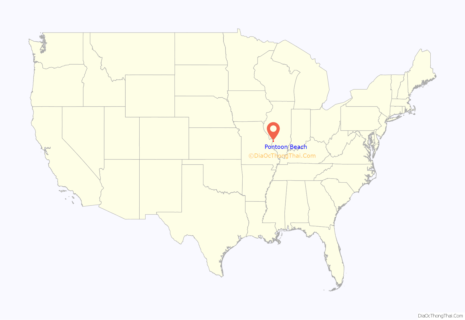
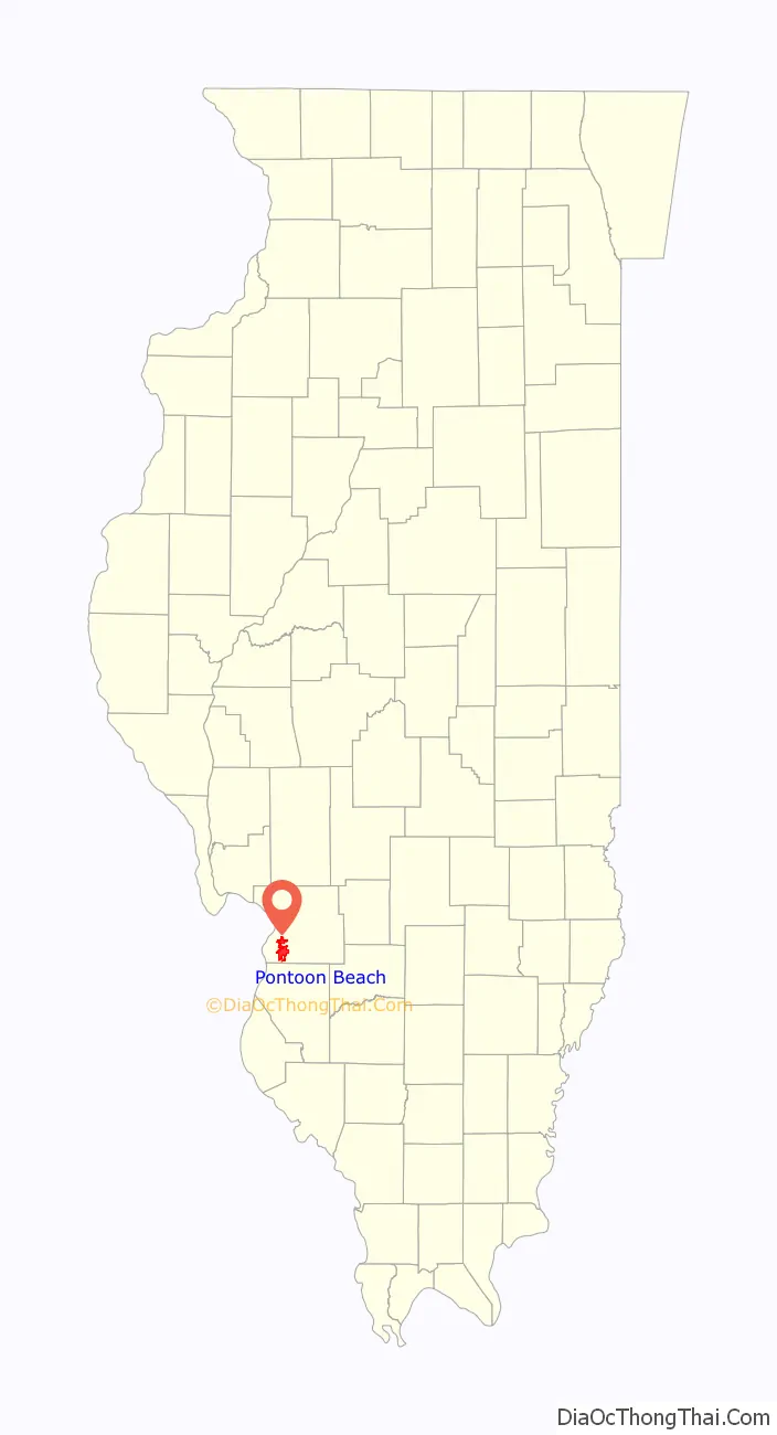
Pontoon Beach location map. Where is Pontoon Beach village?
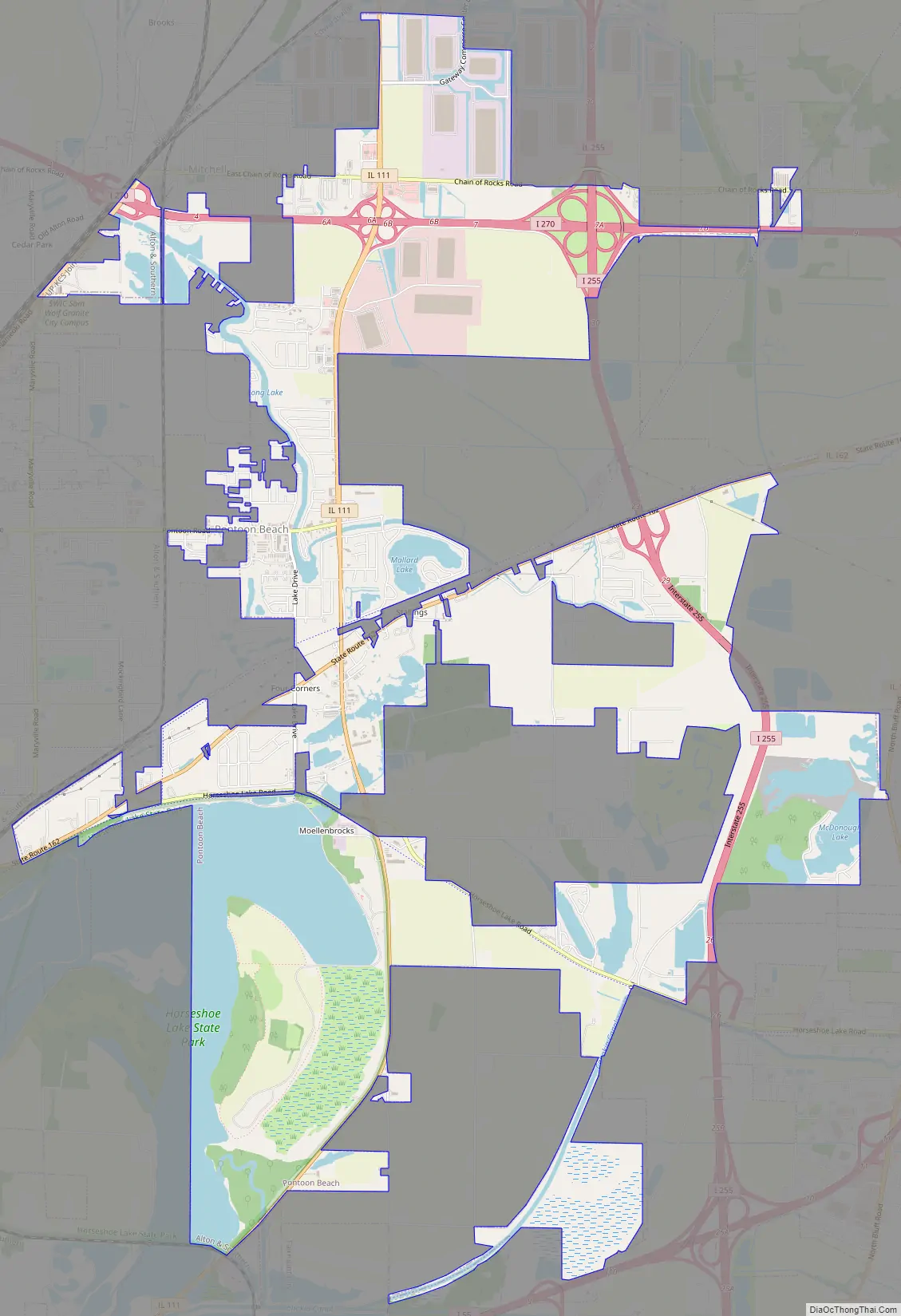
Pontoon Beach Road Map
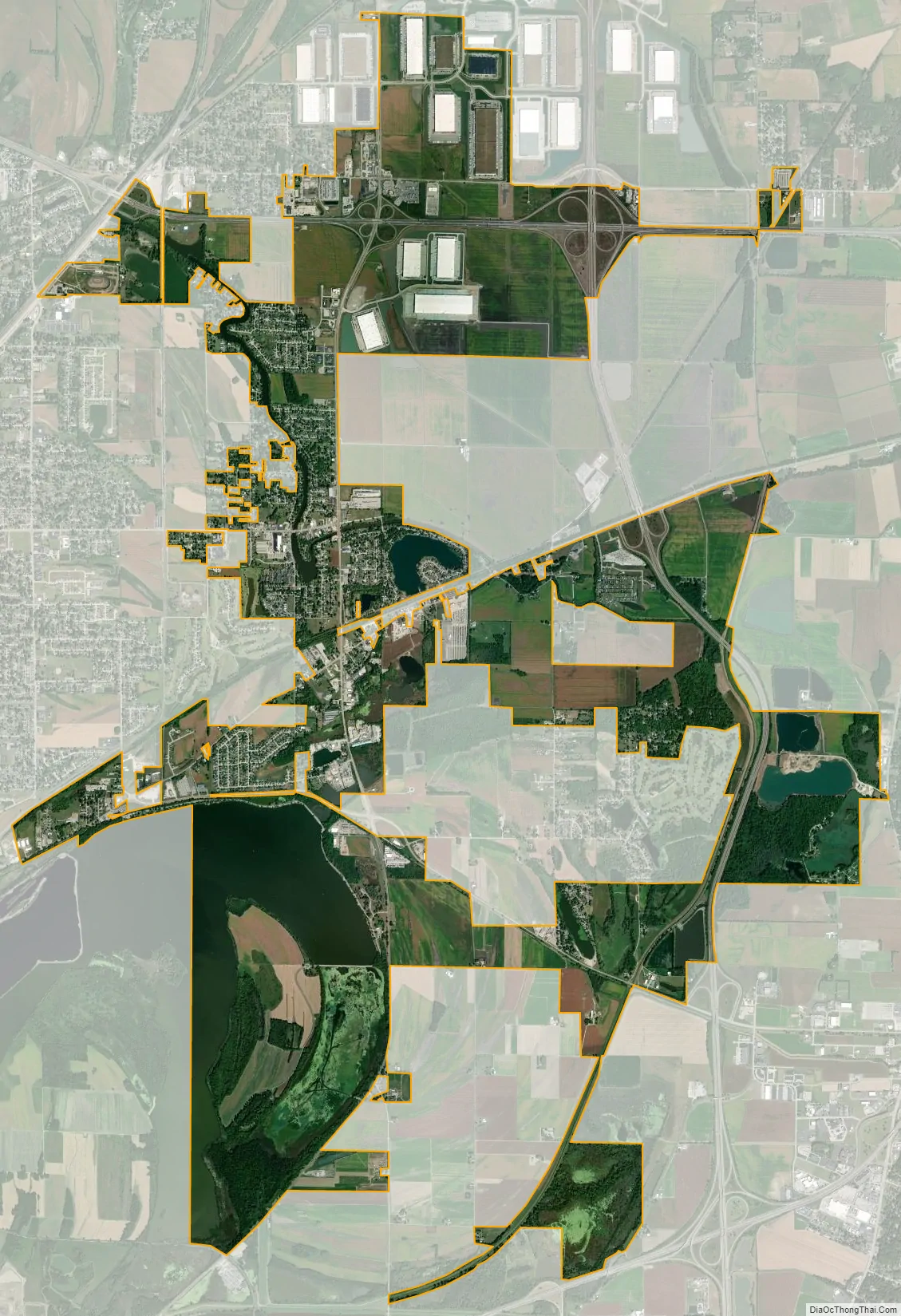
Pontoon Beach city Satellite Map
Geography
Pontoon Beach is located in southwestern Madison County 15 miles (24 km) northeast of St. Louis. It is bordered to the west by Granite City, to the northwest by Mitchell, to the north by Edwardsville, the Madison county seat, to the east by Glen Carbon, to the southeast by Collinsville, to the south by Fairmont City, and to the southwest by Madison.
Illinois Route 111 runs through the village center, leading north 9 miles (14 km) to Wood River and south 5 miles (8 km) to Fairmont City. Illinois Route 162 crosses Route 111 south of the village center; it leads east 10 miles (16 km) to Troy and southwest five miles to Madison. Interstate 255 runs through the east part of the village limits, with access from Exit 26 (Horseshoe Lake Road) and Exit 29 (IL 162). Interstate 270 crosses the northern part of the village, with access from Exit 6 (IL 111).
According to the U.S. Census Bureau, Pontoon Beach has a total area of 12.4 square miles (32 km), of which 10.0 square miles (26 km) are land and 2.5 square miles (6.5 km), or 19.92%, are water. The village is in the American Bottom region, part of the Mississippi River floodplain. A portion of Horseshoe Lake, an oxbow lake that is a former channel of the Mississippi, is in the southwest part of the village.
See also
Map of Illinois State and its subdivision:- Adams
- Alexander
- Bond
- Boone
- Brown
- Bureau
- Calhoun
- Carroll
- Cass
- Champaign
- Christian
- Clark
- Clay
- Clinton
- Coles
- Cook
- Crawford
- Cumberland
- De Kalb
- De Witt
- Douglas
- Dupage
- Edgar
- Edwards
- Effingham
- Fayette
- Ford
- Franklin
- Fulton
- Gallatin
- Greene
- Grundy
- Hamilton
- Hancock
- Hardin
- Henderson
- Henry
- Iroquois
- Jackson
- Jasper
- Jefferson
- Jersey
- Jo Daviess
- Johnson
- Kane
- Kankakee
- Kendall
- Knox
- La Salle
- Lake
- Lake Michigan
- Lawrence
- Lee
- Livingston
- Logan
- Macon
- Macoupin
- Madison
- Marion
- Marshall
- Mason
- Massac
- McDonough
- McHenry
- McLean
- Menard
- Mercer
- Monroe
- Montgomery
- Morgan
- Moultrie
- Ogle
- Peoria
- Perry
- Piatt
- Pike
- Pope
- Pulaski
- Putnam
- Randolph
- Richland
- Rock Island
- Saint Clair
- Saline
- Sangamon
- Schuyler
- Scott
- Shelby
- Stark
- Stephenson
- Tazewell
- Union
- Vermilion
- Wabash
- Warren
- Washington
- Wayne
- White
- Whiteside
- Will
- Williamson
- Winnebago
- Woodford
- Alabama
- Alaska
- Arizona
- Arkansas
- California
- Colorado
- Connecticut
- Delaware
- District of Columbia
- Florida
- Georgia
- Hawaii
- Idaho
- Illinois
- Indiana
- Iowa
- Kansas
- Kentucky
- Louisiana
- Maine
- Maryland
- Massachusetts
- Michigan
- Minnesota
- Mississippi
- Missouri
- Montana
- Nebraska
- Nevada
- New Hampshire
- New Jersey
- New Mexico
- New York
- North Carolina
- North Dakota
- Ohio
- Oklahoma
- Oregon
- Pennsylvania
- Rhode Island
- South Carolina
- South Dakota
- Tennessee
- Texas
- Utah
- Vermont
- Virginia
- Washington
- West Virginia
- Wisconsin
- Wyoming


