Metamora is a village in Metamora Township, Woodford County, Illinois, United States. The population was 3,636 at the 2010 census. Metamora is a growing suburb of Peoria and is part of the Peoria, Illinois Metropolitan Statistical Area.
| Name: | Metamora village |
|---|---|
| LSAD Code: | 47 |
| LSAD Description: | village (suffix) |
| State: | Illinois |
| County: | Woodford County |
| Elevation: | 816 ft (249 m) |
| Total Area: | 2.27 sq mi (5.89 km²) |
| Land Area: | 2.27 sq mi (5.88 km²) |
| Water Area: | 0.00 sq mi (0.01 km²) |
| Total Population: | 3,904 |
| Population Density: | 1,719.07/sq mi (663.65/km²) |
| Area code: | 309 |
| FIPS code: | 1748606 |
| Website: | villageofmetamora.com |
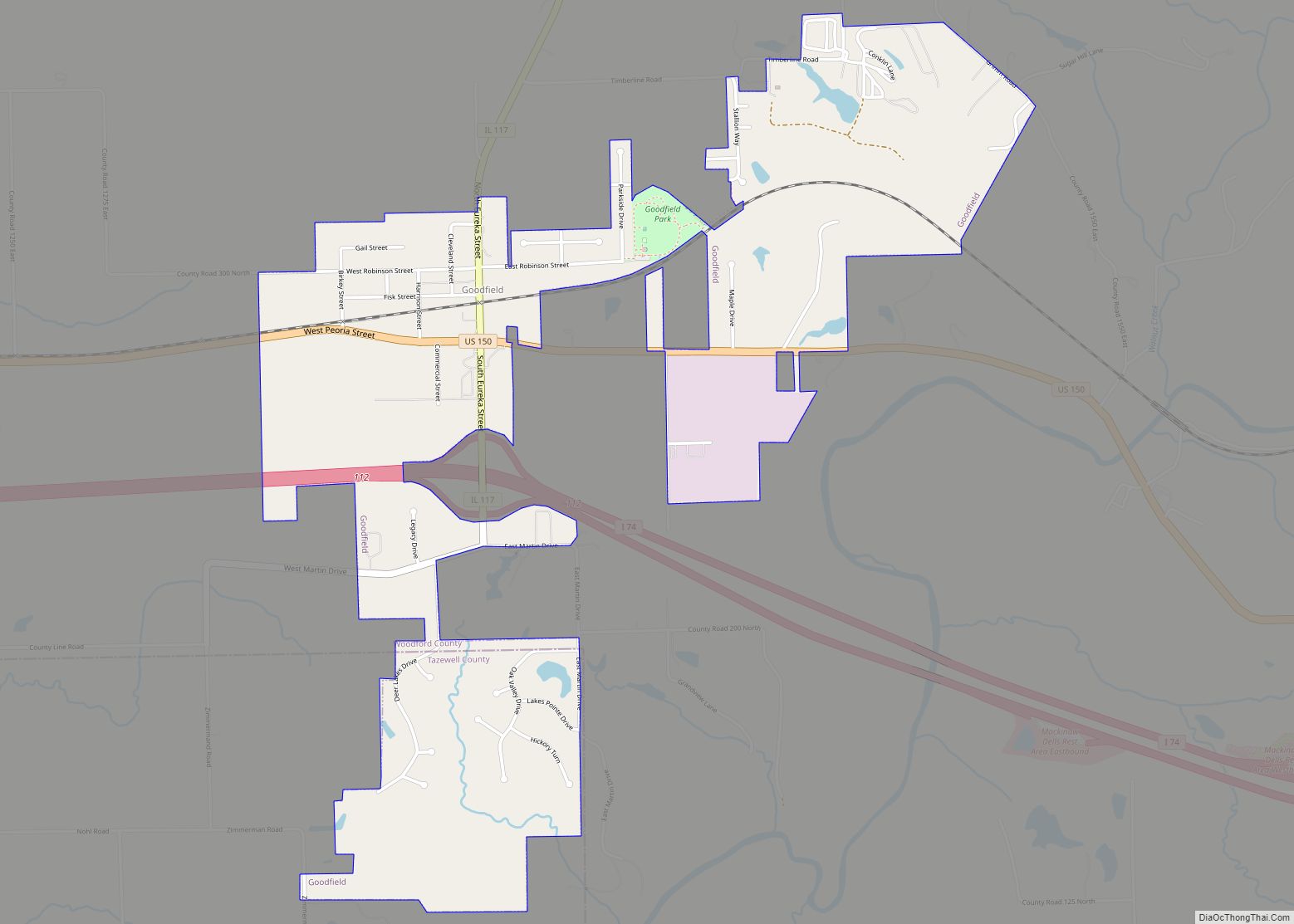
Online Interactive Map
Click on ![]() to view map in "full screen" mode.
to view map in "full screen" mode.
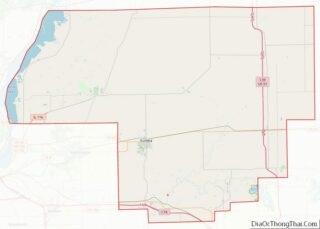
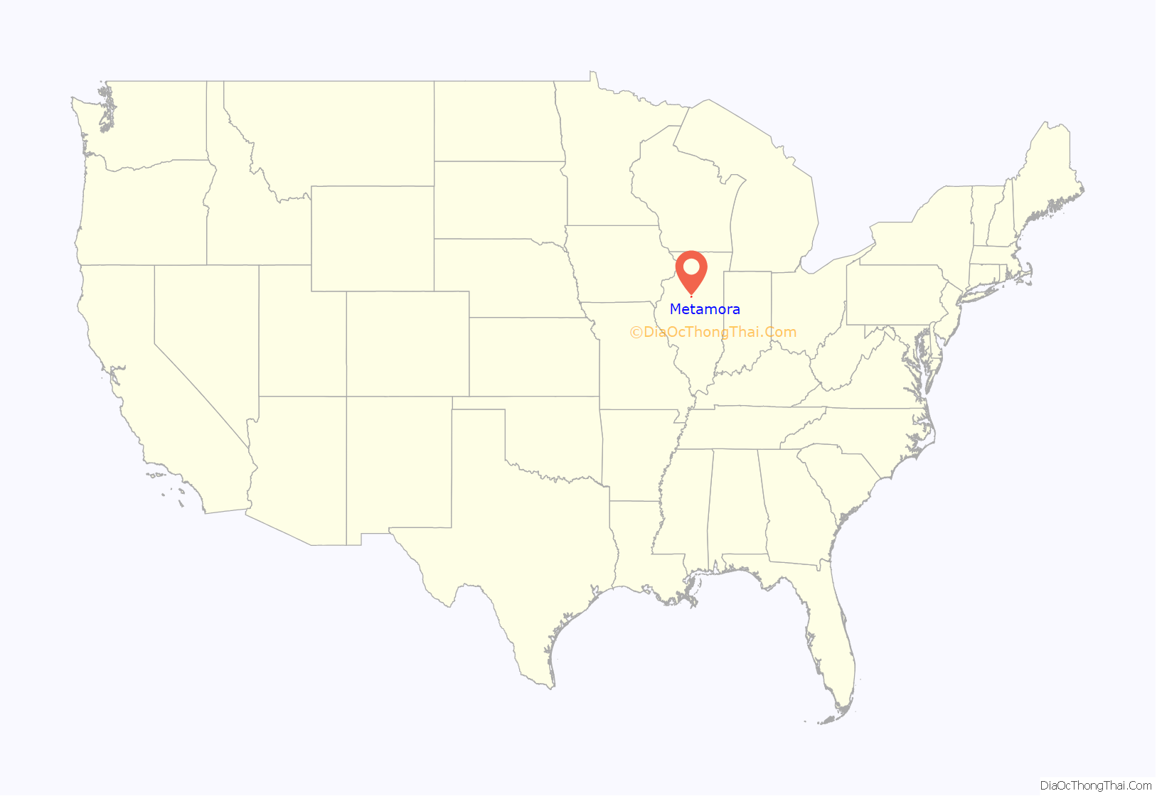
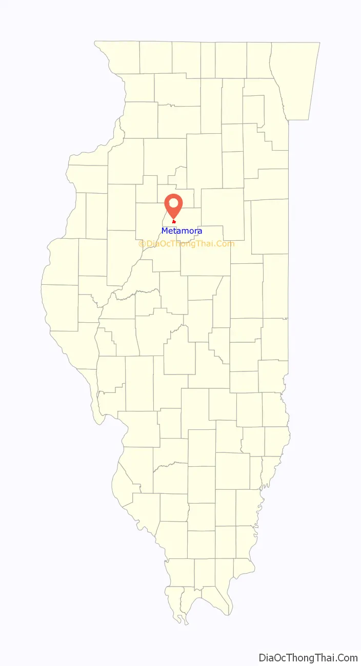
Metamora location map. Where is Metamora village?
History
Metamora was settled by Yankee settlers. These were people from New England who were descended from the English Puritans who settled that region in the 1600s. The first group were settlers from Hanover, New Hampshire, organized by a company from Gilmanton, New Hampshire who named the town Hanover. A New England man named John Page scouted the area for the company and decided that this particular tract of land would be a good place for farms. When they arrived the area was a forest, with no roads and no structures. The New Hampshire settlers cleared the forest, constructed roads and built farms as well as a small town to support the farms. Other New England settlers arrived shortly thereafter from the states of Rhode Island, Vermont and Massachusetts. Metamora was the county seat of Woodford County from 1843 until 1896. The Metamora Courthouse State Historic Site, a courthouse from this period, is preserved as an Illinois state historic site. Future President Abraham Lincoln and future Vice President Adlai E. Stevenson I practiced law there.
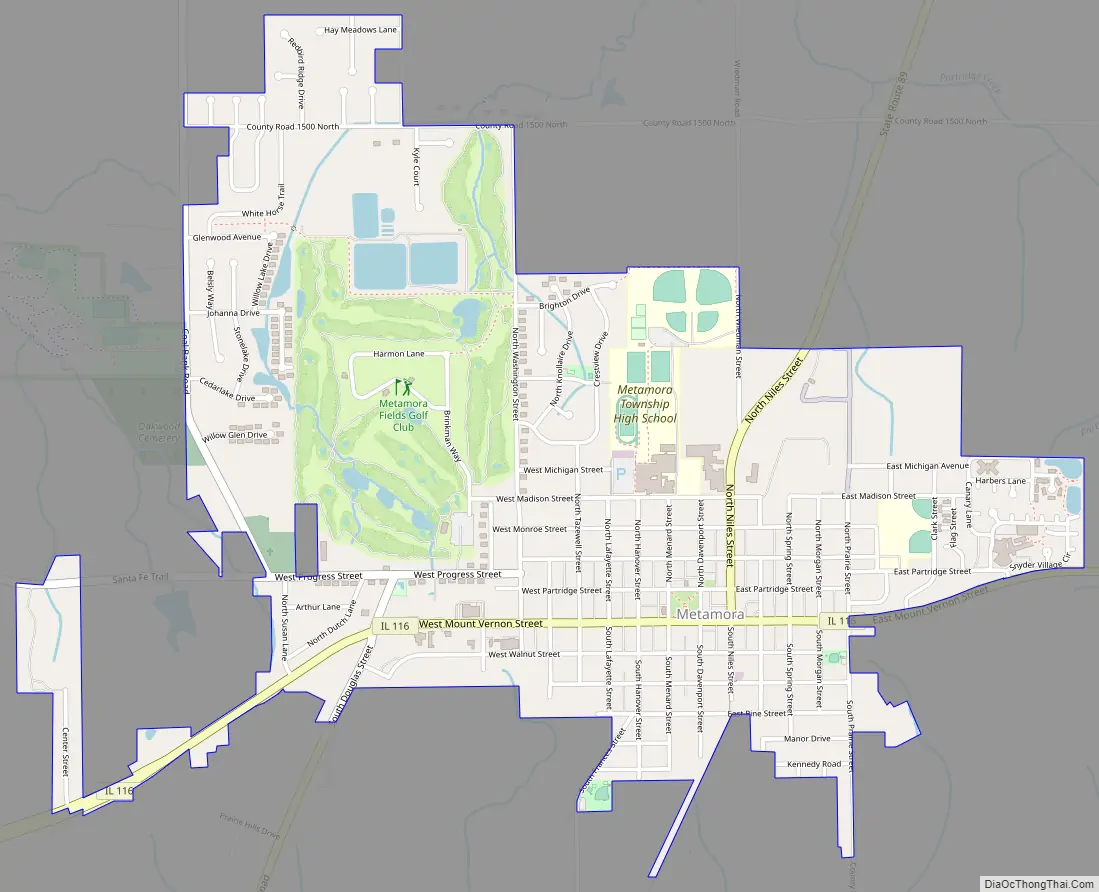
Metamora Road Map
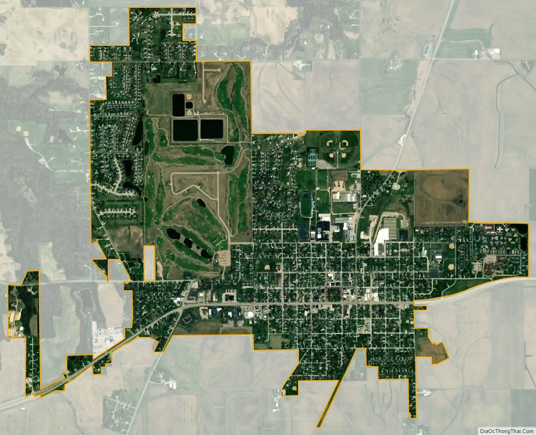
Metamora city Satellite Map
Geography
Metamora is located at 40°47′N 89°22′W / 40.783°N 89.367°W / 40.783; -89.367 (40.7911, -89.3624).
According to the 2010 census, Metamora has a total area of 2.204 square miles (5.71 km), of which 2.2 square miles (5.70 km) (or 99.82%) is land and 0.004 square miles (0.01 km) (or 0.18%) is water.
See also
Map of Illinois State and its subdivision:- Adams
- Alexander
- Bond
- Boone
- Brown
- Bureau
- Calhoun
- Carroll
- Cass
- Champaign
- Christian
- Clark
- Clay
- Clinton
- Coles
- Cook
- Crawford
- Cumberland
- De Kalb
- De Witt
- Douglas
- Dupage
- Edgar
- Edwards
- Effingham
- Fayette
- Ford
- Franklin
- Fulton
- Gallatin
- Greene
- Grundy
- Hamilton
- Hancock
- Hardin
- Henderson
- Henry
- Iroquois
- Jackson
- Jasper
- Jefferson
- Jersey
- Jo Daviess
- Johnson
- Kane
- Kankakee
- Kendall
- Knox
- La Salle
- Lake
- Lake Michigan
- Lawrence
- Lee
- Livingston
- Logan
- Macon
- Macoupin
- Madison
- Marion
- Marshall
- Mason
- Massac
- McDonough
- McHenry
- McLean
- Menard
- Mercer
- Monroe
- Montgomery
- Morgan
- Moultrie
- Ogle
- Peoria
- Perry
- Piatt
- Pike
- Pope
- Pulaski
- Putnam
- Randolph
- Richland
- Rock Island
- Saint Clair
- Saline
- Sangamon
- Schuyler
- Scott
- Shelby
- Stark
- Stephenson
- Tazewell
- Union
- Vermilion
- Wabash
- Warren
- Washington
- Wayne
- White
- Whiteside
- Will
- Williamson
- Winnebago
- Woodford
- Alabama
- Alaska
- Arizona
- Arkansas
- California
- Colorado
- Connecticut
- Delaware
- District of Columbia
- Florida
- Georgia
- Hawaii
- Idaho
- Illinois
- Indiana
- Iowa
- Kansas
- Kentucky
- Louisiana
- Maine
- Maryland
- Massachusetts
- Michigan
- Minnesota
- Mississippi
- Missouri
- Montana
- Nebraska
- Nevada
- New Hampshire
- New Jersey
- New Mexico
- New York
- North Carolina
- North Dakota
- Ohio
- Oklahoma
- Oregon
- Pennsylvania
- Rhode Island
- South Carolina
- South Dakota
- Tennessee
- Texas
- Utah
- Vermont
- Virginia
- Washington
- West Virginia
- Wisconsin
- Wyoming