Millstadt is a village in St. Clair County, Illinois, United States, located at the crossing of Illinois Routes 163 (locally, “Jefferson Avenue”) and 158 (locally, “Washington Avenue”). The village is known for its German heritage, with more than half its people of German descent. The population was 4,011 at the 2010 census, but a more recent study in July 2018 estimated the number at 3,885.
| Name: | Millstadt village |
|---|---|
| LSAD Code: | 47 |
| LSAD Description: | village (suffix) |
| State: | Illinois |
| County: | St. Clair County |
| Elevation: | 600 ft (200 m) |
| Total Area: | 3.67 sq mi (9.50 km²) |
| Land Area: | 3.49 sq mi (9.04 km²) |
| Water Area: | 0.18 sq mi (0.46 km²) |
| Total Population: | 4,071 |
| Population Density: | 1,166.14/sq mi (450.31/km²) |
| Area code: | 618 |
| FIPS code: | 1749386 |
| GNISfeature ID: | 2399363 |
| Website: | www.villageofmillstadt.org |
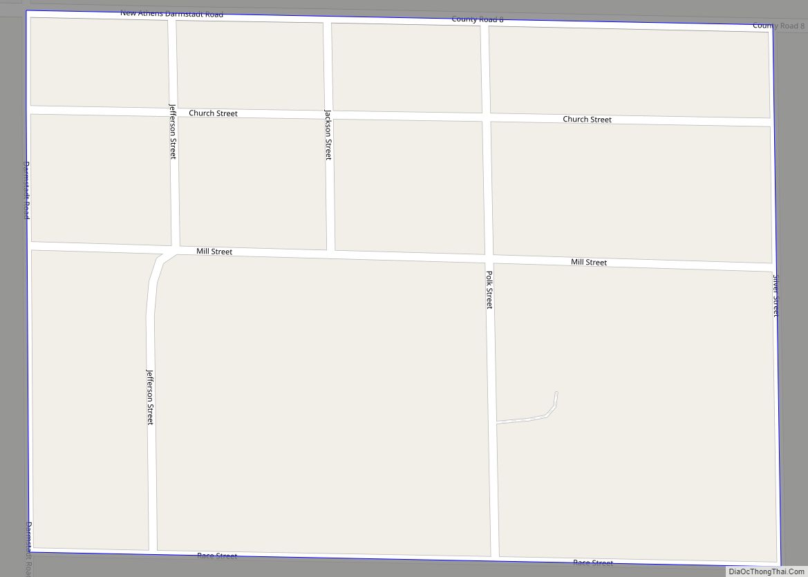
Online Interactive Map
Click on ![]() to view map in "full screen" mode.
to view map in "full screen" mode.
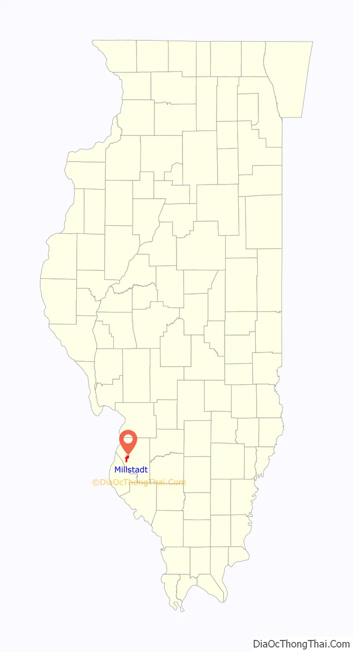
Millstadt location map. Where is Millstadt village?

History
During a barn raising in 1836, it was proposed that a town be incorporated on land belonging to Henry Randleman. The name “Centerville” was proposed, as the site was equidistant from Belleville, Columbia, and Pittsburg Lake. The town was platted on March 13, 1837. In 1880, its name was changed to Millstadt, as the name Centreville was in use by another nearby town.
Another account (Millstadt School website): “The story of how Millstadt developed out of ‘Centerville’ goes something like this. The current Centreville and our Centerville each had a post offices through which a great deal of mail became confused and mis-delivered. Our town’s forefathers, upon applying for formal organization through the state, supposedly decided on the name ‘Mittlestadt’ or ‘Middlestadt,’ which means literally ‘center city’; somehow the state misread the writing and sent back the papers reading ‘Millstadt.’ As you can guess, the governing group decided to keep that name as we had several mills at that time and the name fit.”
In 1874, a German immigrant farm family was killed in a farming hamlet known as Saxtown, just south of the town. It made national headlines and became the subject of the book The Ax Murders of Saxtown.
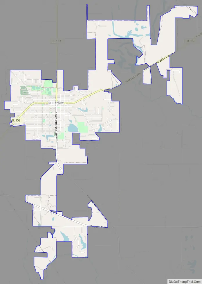
Millstadt Road Map
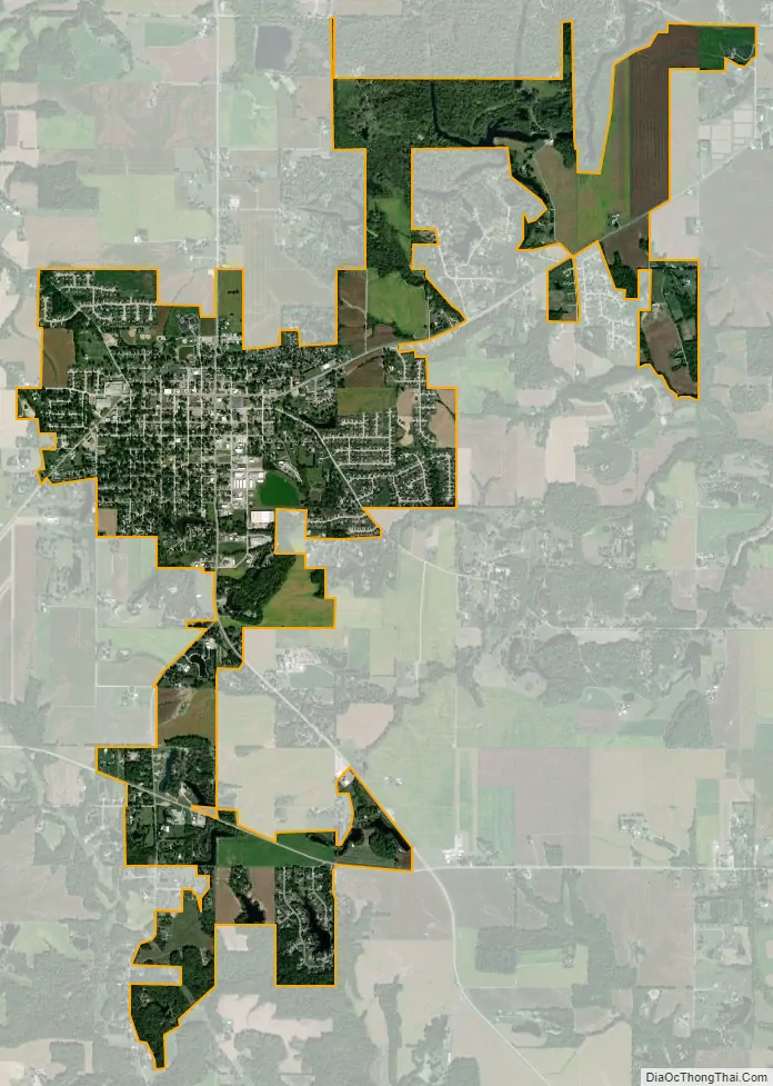
Millstadt city Satellite Map
Geography
According to the 2010 census, the village has a total area of 3.58 square miles (9.3 km), of which 3.41 square miles (8.8 km) (or 95.25%) is land and 0.17 square miles (0.44 km) (or 4.75%) is water.
The town center is formed by the intersection of two state highways. Illinois Route 158, or Washington Avenue, leads west to Columbia and east to Belleville. The other main street is Jefferson Avenue, the north part of which forms the southern end of Illinois Route 163, leading north to Centreville, where it intersects highways providing access to East St. Louis. The south end of Jefferson Avenue, as it leaves Millstadt, becomes Floraville Road.
See also
Map of Illinois State and its subdivision:- Adams
- Alexander
- Bond
- Boone
- Brown
- Bureau
- Calhoun
- Carroll
- Cass
- Champaign
- Christian
- Clark
- Clay
- Clinton
- Coles
- Cook
- Crawford
- Cumberland
- De Kalb
- De Witt
- Douglas
- Dupage
- Edgar
- Edwards
- Effingham
- Fayette
- Ford
- Franklin
- Fulton
- Gallatin
- Greene
- Grundy
- Hamilton
- Hancock
- Hardin
- Henderson
- Henry
- Iroquois
- Jackson
- Jasper
- Jefferson
- Jersey
- Jo Daviess
- Johnson
- Kane
- Kankakee
- Kendall
- Knox
- La Salle
- Lake
- Lake Michigan
- Lawrence
- Lee
- Livingston
- Logan
- Macon
- Macoupin
- Madison
- Marion
- Marshall
- Mason
- Massac
- McDonough
- McHenry
- McLean
- Menard
- Mercer
- Monroe
- Montgomery
- Morgan
- Moultrie
- Ogle
- Peoria
- Perry
- Piatt
- Pike
- Pope
- Pulaski
- Putnam
- Randolph
- Richland
- Rock Island
- Saint Clair
- Saline
- Sangamon
- Schuyler
- Scott
- Shelby
- Stark
- Stephenson
- Tazewell
- Union
- Vermilion
- Wabash
- Warren
- Washington
- Wayne
- White
- Whiteside
- Will
- Williamson
- Winnebago
- Woodford
- Alabama
- Alaska
- Arizona
- Arkansas
- California
- Colorado
- Connecticut
- Delaware
- District of Columbia
- Florida
- Georgia
- Hawaii
- Idaho
- Illinois
- Indiana
- Iowa
- Kansas
- Kentucky
- Louisiana
- Maine
- Maryland
- Massachusetts
- Michigan
- Minnesota
- Mississippi
- Missouri
- Montana
- Nebraska
- Nevada
- New Hampshire
- New Jersey
- New Mexico
- New York
- North Carolina
- North Dakota
- Ohio
- Oklahoma
- Oregon
- Pennsylvania
- Rhode Island
- South Carolina
- South Dakota
- Tennessee
- Texas
- Utah
- Vermont
- Virginia
- Washington
- West Virginia
- Wisconsin
- Wyoming