Oswego /ɒsˈwiːɡoʊ/ is a village within the Chicago Metropolitan Area located in Kendall and Will Counties, Illinois, United States. Per the 2020 census, the population was 34,485. Oswego is the largest municipality in Kendall County. It is a suburb of Chicago, Illinois.
| Name: | Oswego village |
|---|---|
| LSAD Code: | 47 |
| LSAD Description: | village (suffix) |
| State: | Illinois |
| County: | Kendall County |
| Incorporated: | 1852 |
| Elevation: | 659 ft (201 m) |
| Total Area: | 15.03 sq mi (38.93 km²) |
| Land Area: | 14.89 sq mi (38.56 km²) |
| Water Area: | 0.14 sq mi (0.38 km²) |
| Total Population: | 34,585 |
| Population Density: | 2,323.01/sq mi (896.93/km²) |
| ZIP code: | 60543 |
| FIPS code: | 1756887 |
| GNISfeature ID: | 2399593 |
| Website: | www.oswegoil.org |
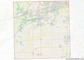
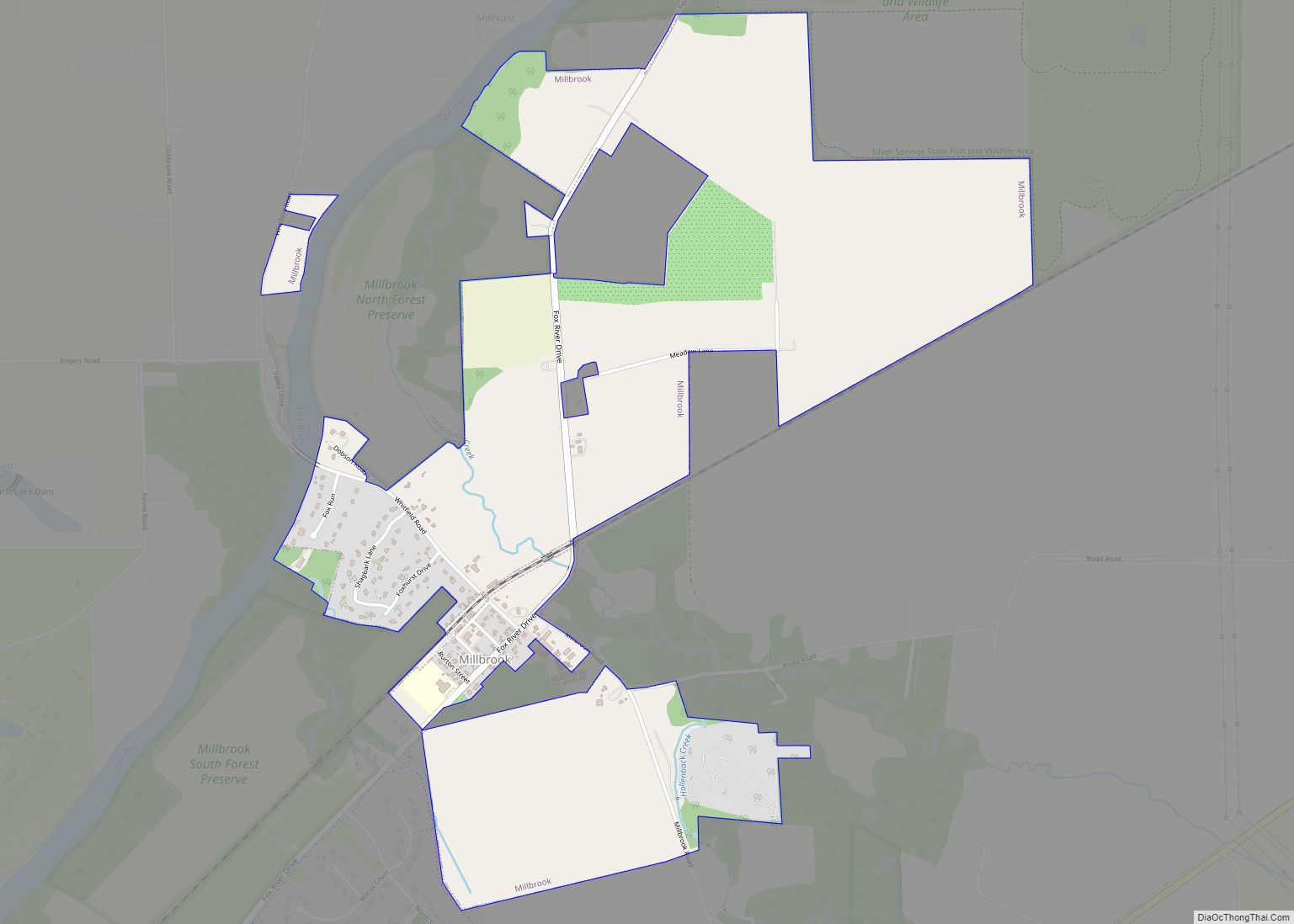
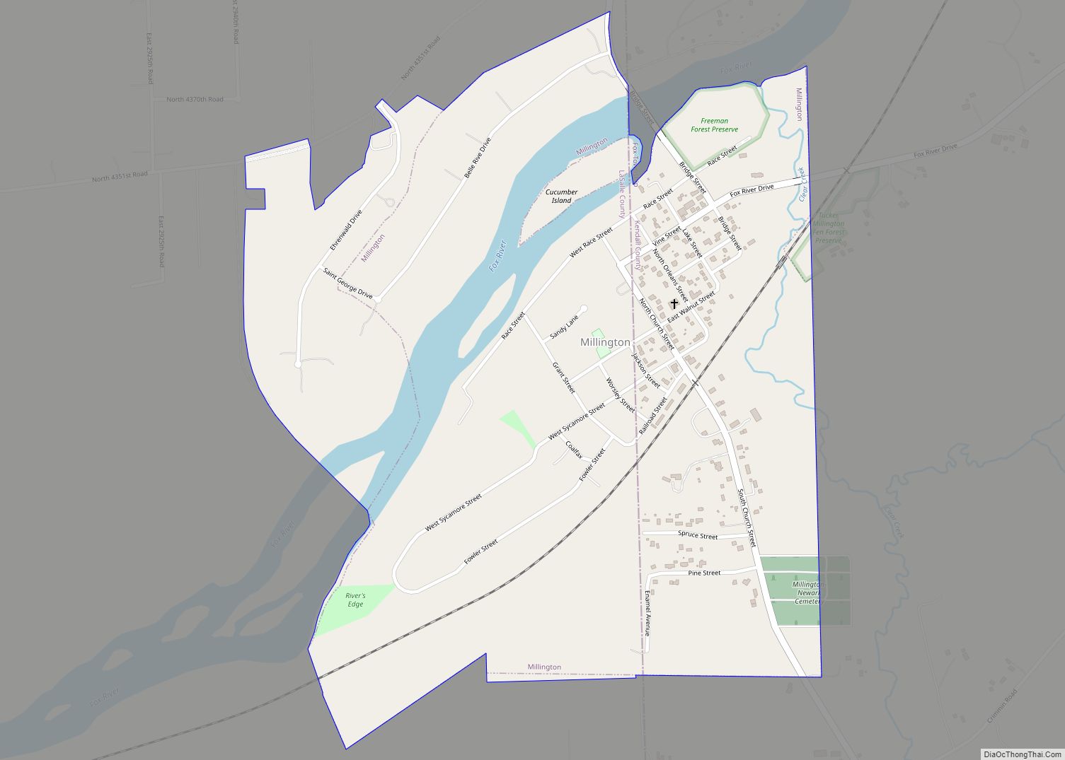
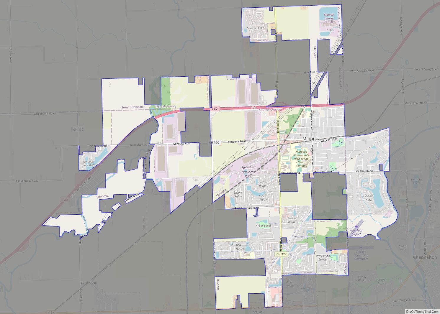
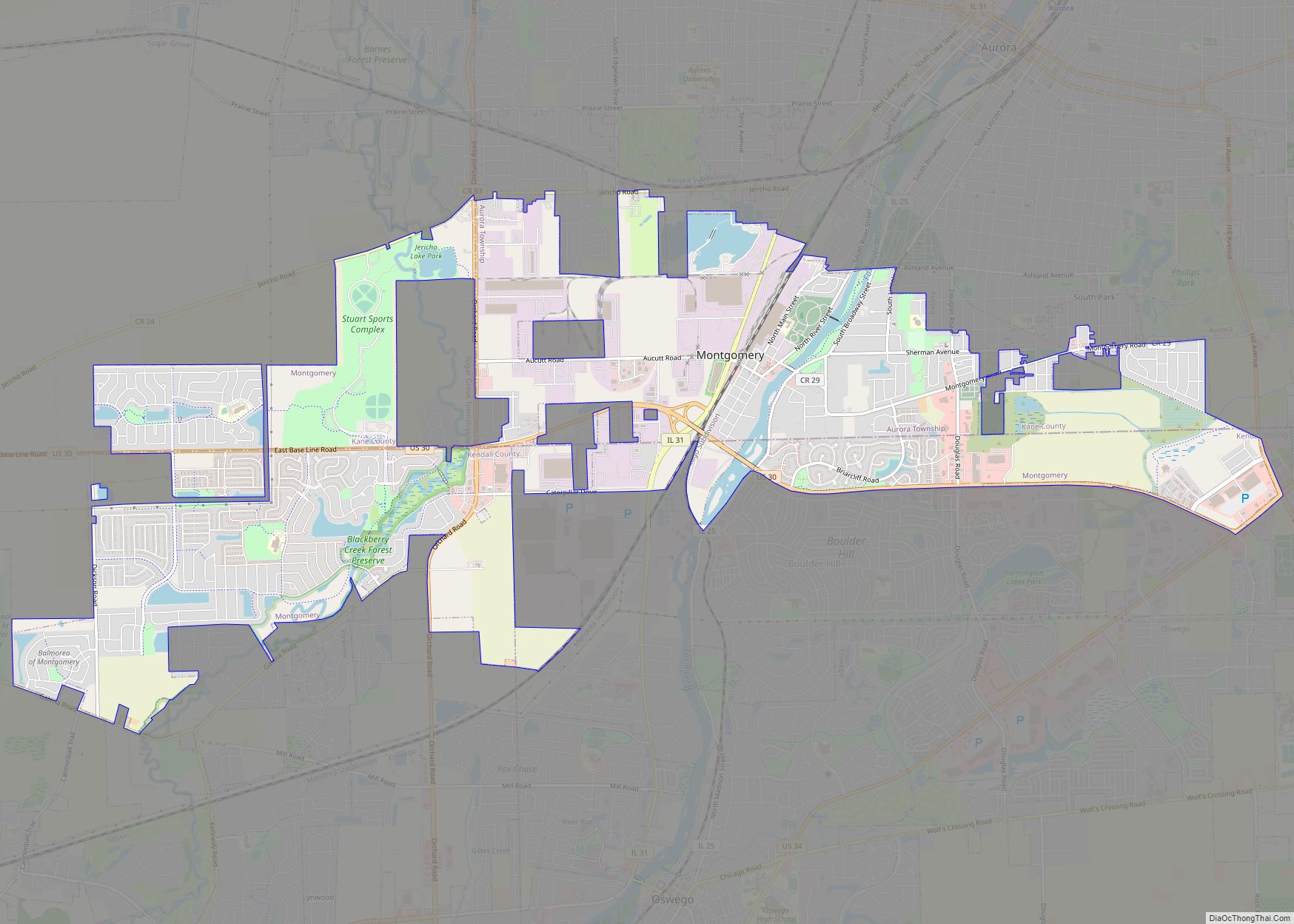
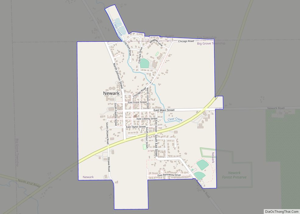
Online Interactive Map
Click on ![]() to view map in "full screen" mode.
to view map in "full screen" mode.
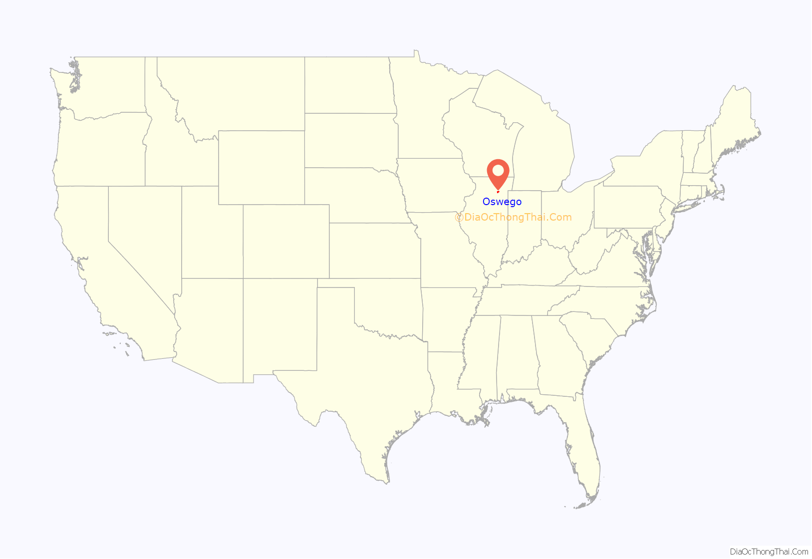
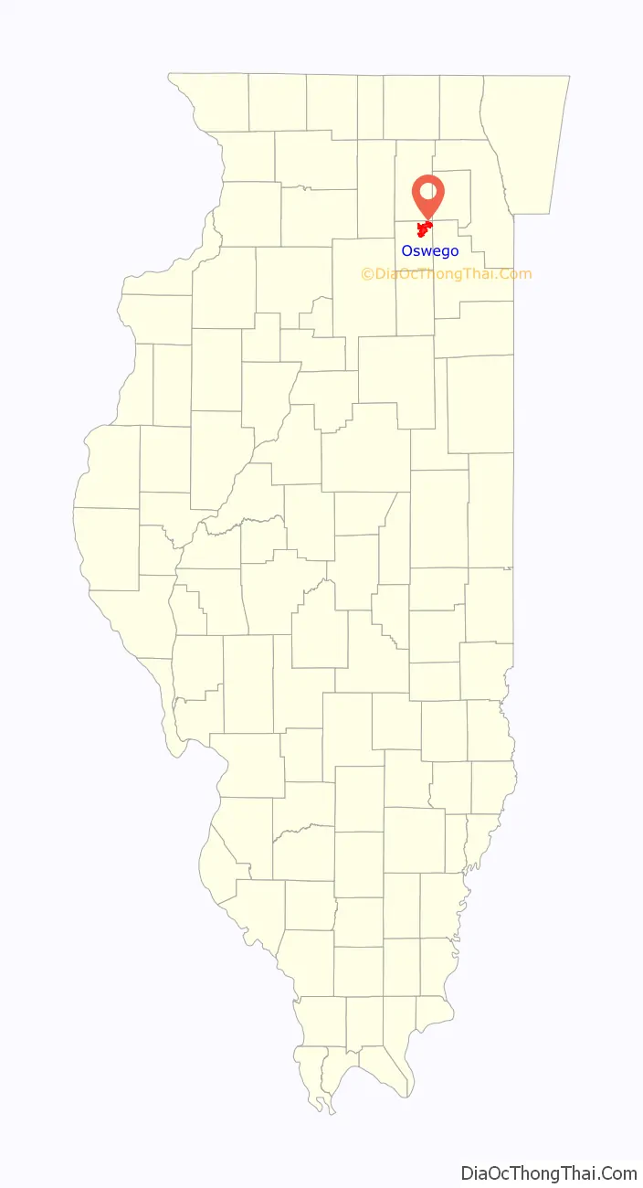
Oswego location map. Where is Oswego village?
History
In 1833, William Smith Wilson, his wife Rebecca, and his brother-in-law Daniel Pearce moved to the area now known as Oswego. The land belonged to the local Potawatomi, Ottawa, and Chippewa tribes, but the United States government removed the Native Americans when the government started surveying the land along the Fox River in Kendall County. In 1842, the federal government placed the land for sale at an established price of $1.25 an acre.
After the sale of the land, Lewis Brinsmaid Judson and Levi F. Arnold from New York laid out the village and named it “Hudson”. However, when a post office was established, its location was given as “Lodi”. Confusion over the official name of the area led to a decision in January 1837, when the citizens gathered and voted “Oswego” as the permanent name of the village by a single vote. The village was named after Oswego, New York, an Iroquois word meaning “mouth of the stream”. The ford across the Fox River in the town allowed Oswego to grow economically and as a town, eventually incorporated in 1852 with its village boundaries at the time being Harrison Street to the northwest, Jefferson Street to the northeast, Monroe Street to the southeast, and Benton Street to the southwest. At the advent of the automobile, Oswego continued to see growth as it became a hub for three different state highways (Illinois Route 25, Illinois Route 71, and Illinois Route 31).
Major community developments began when Caterpillar Inc. and Western Electric built industrial plants near Oswego in the mid-1950s. This initially allowed nearby Boulder Hill to develop. The next major development arrived in the mid-1980s during the suburban homebuilding boom, which allowed houses and buildings to populate the village. The rapid growth of the village allowed its limits to expand west of the Fox River into today’s boundaries.
Oswego is known to some Chicago-area residents for the town dragstrip on State Route 34, which was open from 1955 until 1979, where muscle cars were raced by drivers from all over the Midwest. The drag days are still celebrated even though the strip has been closed for decades. Although evidence of the drag strip, including parts of the track, still remain, the site is off limits to the public.
Oswego Road Map

Oswego city Satellite Map
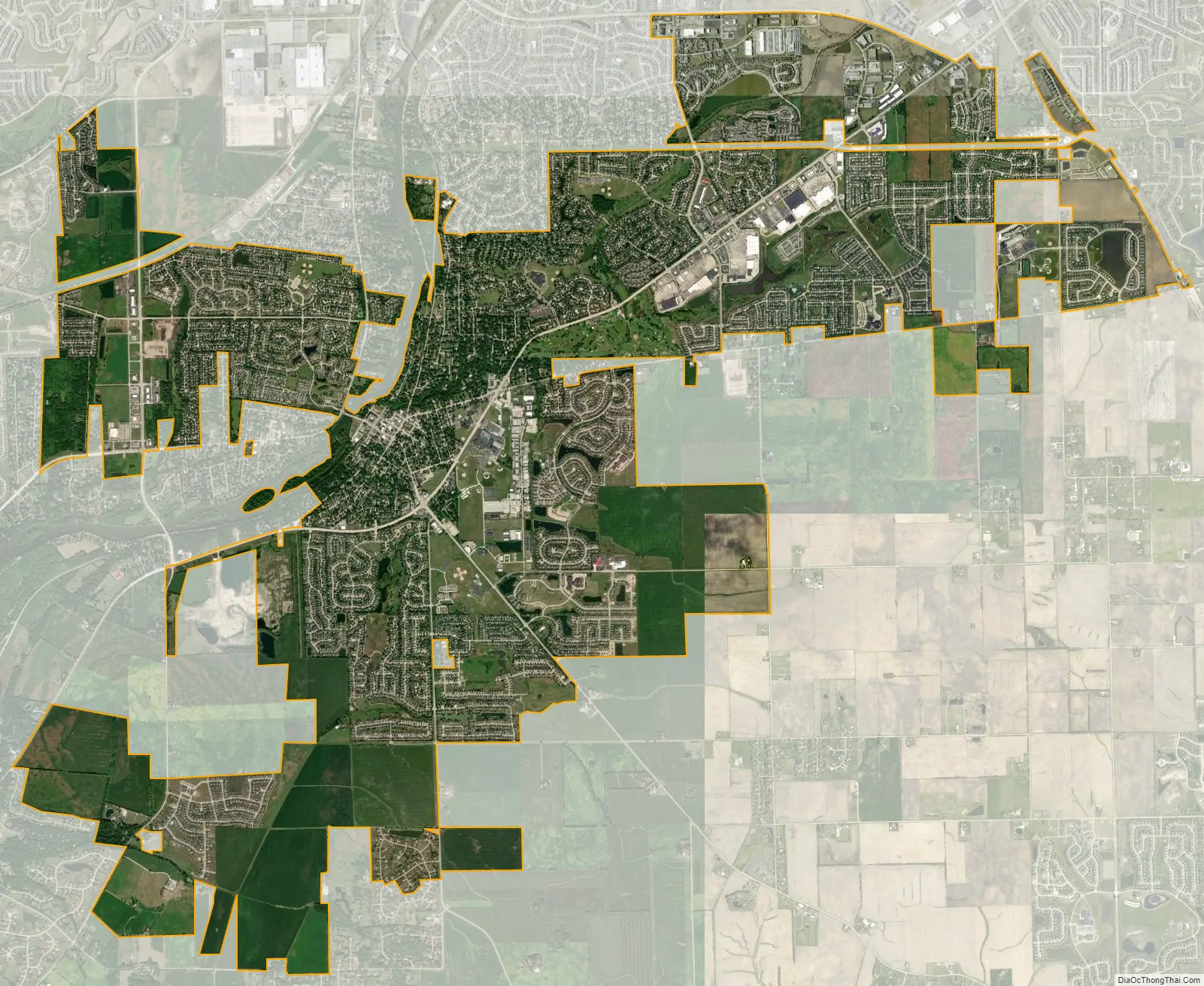
Geography
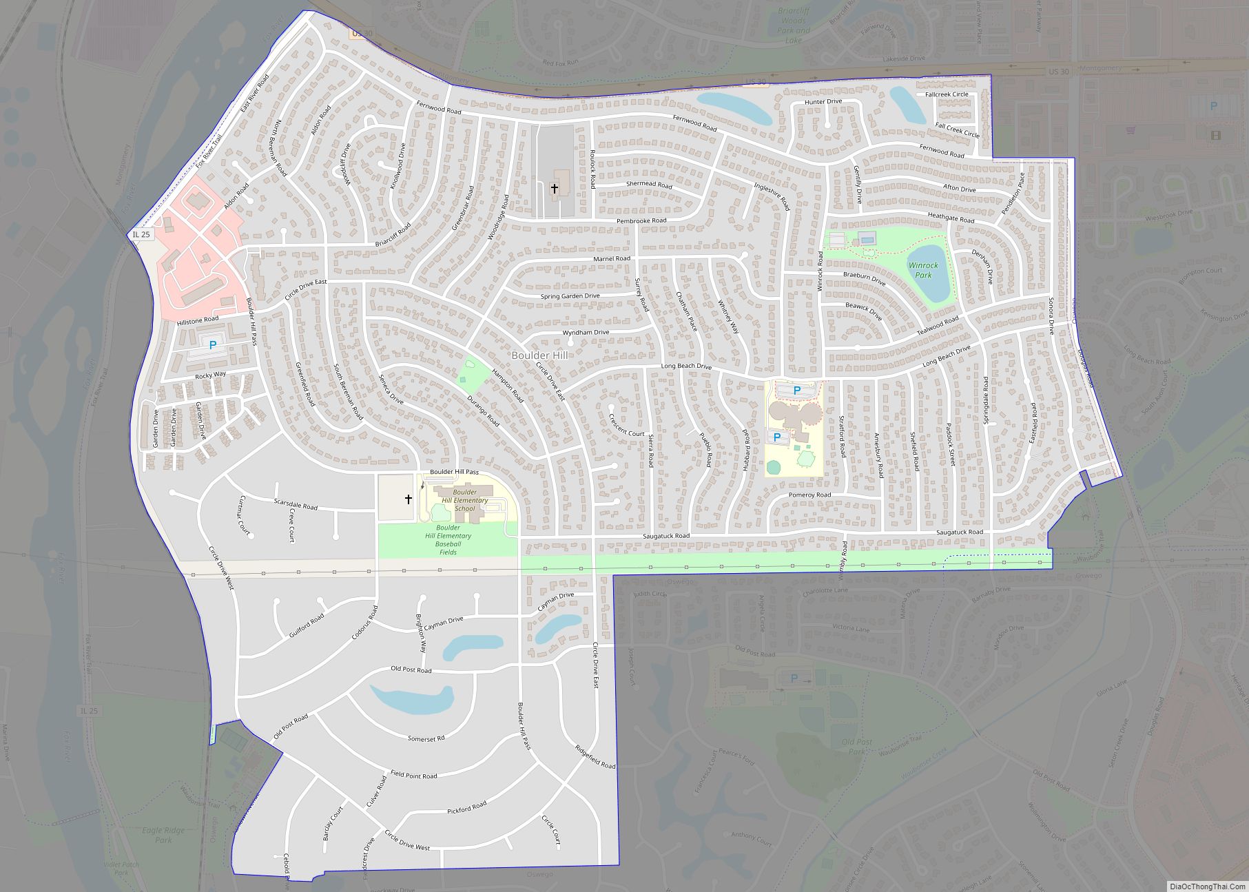
Oswego is located in northeastern Kendall County on the Fox River with a small portion in Will County. It is bordered to the north by Boulder Hill and Montgomery, to the east by Aurora, and to the west by Yorkville, the Kendall county seat.
According to the 2010 census, the village of Oswego has a total area of 15.63 square miles (40.5 km), of which 15.53 square miles (40.2 km) (or 99.36%) is land and 0.11 square miles (0.28 km) (or 0.70%) is water.
Downtown
Downtown Oswego is home to historic buildings and homes, as well as shops and restaurants. The Village of Oswego launched a project to enhance and restore the historic downtown district. This project included significant infrastructure and streetscape improvements, such as the installation of brick pavers, sidewalks, landscaping, and decorative streetlights and benches. Hudson Crossing Park, located along the Fox River, opened in October 2004 where many children and families enjoy the scenery. The Waubonsee Creek Promenade, which stretches from Main Street to the new park, is the final phase of the downtown enhancements. In 2008, the village celebrated its 175th anniversary.
Recreation and leisure
The Oswego area is home to over 1,100 acres (450 ha) of open land, trails, and parks maintained by the Oswegoland Park District. Established in 1950, this governmental agency is guided to “create opportunities for a healthy community”. Overseeing 63 parks, 16 miles (26 km) of walking trails, two aquatic parks, and the Little White School Museum, the park district provides offerings for the community of 20,000 households as well as visitors from farther away.
The Oswego area holds several races for fitness enthusiasts. Several area festivals are coordinated by the park district, such as the annual PrairieFest.
See also
Map of Illinois State and its subdivision:- Adams
- Alexander
- Bond
- Boone
- Brown
- Bureau
- Calhoun
- Carroll
- Cass
- Champaign
- Christian
- Clark
- Clay
- Clinton
- Coles
- Cook
- Crawford
- Cumberland
- De Kalb
- De Witt
- Douglas
- Dupage
- Edgar
- Edwards
- Effingham
- Fayette
- Ford
- Franklin
- Fulton
- Gallatin
- Greene
- Grundy
- Hamilton
- Hancock
- Hardin
- Henderson
- Henry
- Iroquois
- Jackson
- Jasper
- Jefferson
- Jersey
- Jo Daviess
- Johnson
- Kane
- Kankakee
- Kendall
- Knox
- La Salle
- Lake
- Lake Michigan
- Lawrence
- Lee
- Livingston
- Logan
- Macon
- Macoupin
- Madison
- Marion
- Marshall
- Mason
- Massac
- McDonough
- McHenry
- McLean
- Menard
- Mercer
- Monroe
- Montgomery
- Morgan
- Moultrie
- Ogle
- Peoria
- Perry
- Piatt
- Pike
- Pope
- Pulaski
- Putnam
- Randolph
- Richland
- Rock Island
- Saint Clair
- Saline
- Sangamon
- Schuyler
- Scott
- Shelby
- Stark
- Stephenson
- Tazewell
- Union
- Vermilion
- Wabash
- Warren
- Washington
- Wayne
- White
- Whiteside
- Will
- Williamson
- Winnebago
- Woodford
- Alabama
- Alaska
- Arizona
- Arkansas
- California
- Colorado
- Connecticut
- Delaware
- District of Columbia
- Florida
- Georgia
- Hawaii
- Idaho
- Illinois
- Indiana
- Iowa
- Kansas
- Kentucky
- Louisiana
- Maine
- Maryland
- Massachusetts
- Michigan
- Minnesota
- Mississippi
- Missouri
- Montana
- Nebraska
- Nevada
- New Hampshire
- New Jersey
- New Mexico
- New York
- North Carolina
- North Dakota
- Ohio
- Oklahoma
- Oregon
- Pennsylvania
- Rhode Island
- South Carolina
- South Dakota
- Tennessee
- Texas
- Utah
- Vermont
- Virginia
- Washington
- West Virginia
- Wisconsin
- Wyoming