Pecatonica is a village in Winnebago County, Illinois, United States. It is part of the Rockford, Illinois Metropolitan Statistical Area. The population was 2,195 at the 2010 census, up from 1,997 in 2000.
| Name: | Pecatonica village |
|---|---|
| LSAD Code: | 47 |
| LSAD Description: | village (suffix) |
| State: | Illinois |
| County: | Winnebago County |
| Elevation: | 771 ft (235 m) |
| Total Area: | 1.31 sq mi (3.39 km²) |
| Land Area: | 1.28 sq mi (3.32 km²) |
| Water Area: | 0.03 sq mi (0.07 km²) |
| Total Population: | 2,090 |
| Population Density: | 1,628.99/sq mi (628.77/km²) |
| Area code: | 815 |
| FIPS code: | 1758408 |
| Website: | http://www.villageofpecatonica.com/ |
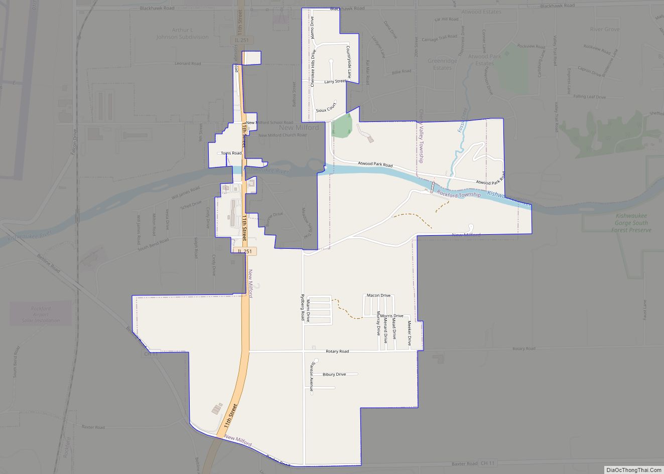
Online Interactive Map
Click on ![]() to view map in "full screen" mode.
to view map in "full screen" mode.
Pecatonica location map. Where is Pecatonica village?


History
The village was named after the Pecatonica River, which forms its northern border. The word Pecatonica is an anglicization of two Algonquian language words; Bekaa (or Pekaa in certain dialects), which means slow and niba, which means water; forming the conjunction Bekaaniba or Slow Water. Civil War records from the state of Illinois include soldiers from Lysander, the area’s common name before incorporation by rail speculators.
The Galena and Chicago Union Railroad, later the Chicago & North Western Railroad, came through in 1853 from Chicago and continued to Freeport, Illinois. That sparked the town to be the center of commerce for western Winnebago County. The Village of Pecatonica was incorporated in 1869, built on territory rightfully owned by Indians and previously deeded to the Reed family by US President James K. Polk. C.W. Knowlton opened his first bank here in 1882 and built a Queen Anne Victorian house on Main Street, on the hill overlooking the business district. This house still stands, after having been restored starting in the mid-1980’s.
An electric interurban line known as the Rockford & Interurban ran from Rockford through Winnebago, Illinois and Pecatonica to Ridott, Illinois and on to Freeport, starting in 1902, until the line’s eventual abandonment in 1930. A small depot building remains standing near the 300 block of Main Street. For the portion of the rail line between Pecatonica and Winnebago, the line often parallels the Pecatonica River.
This route has since been reclaimed as a nature trail known as the Prairie Path, called in 2021 the Pecatonica Prairie Trail, for walking and biking (non-motorized), with maps shown online. The village of Winnebago has also published a brochure of the trail which can be viewed online.
Prior to rail traffic, this region of Northern Illinois received stagecoach traffic. A limestone house on Comly Road dates to this period, and there are permanent wagon wheel scars near a utility building for the 12 Mile Grove Cemetery, which is just hundreds of feet from the current corridor used by U.S. Route 20, a major east–west route through Northern Illinois. Further west, Route 20 parallels more roads which sometime bear the phrase “Stagecoach Trail”.
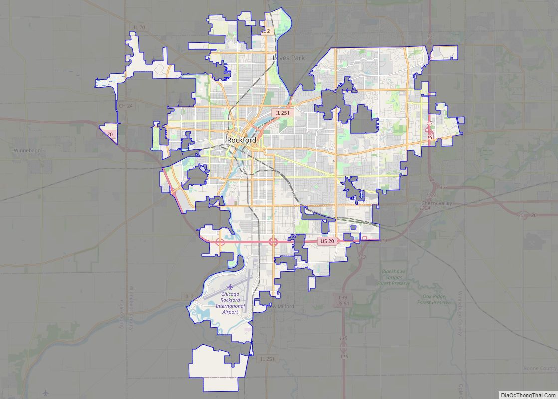
Pecatonica Road Map

Pecatonica city Satellite Map

Geography
Pecatonica is located at 42°18′36″N 89°21′31″W / 42.31000°N 89.35861°W / 42.31000; -89.35861 (42.309955, −89.358647).
According to the 2010 census, Pecatonica has a total area of 1.295 square miles (3.35 km), of which 1.28 square miles (3.32 km) (or 98.84%) is land and 0.015 square miles (0.04 km) (or 1.16%) is water.
See also
Map of Illinois State and its subdivision:- Adams
- Alexander
- Bond
- Boone
- Brown
- Bureau
- Calhoun
- Carroll
- Cass
- Champaign
- Christian
- Clark
- Clay
- Clinton
- Coles
- Cook
- Crawford
- Cumberland
- De Kalb
- De Witt
- Douglas
- Dupage
- Edgar
- Edwards
- Effingham
- Fayette
- Ford
- Franklin
- Fulton
- Gallatin
- Greene
- Grundy
- Hamilton
- Hancock
- Hardin
- Henderson
- Henry
- Iroquois
- Jackson
- Jasper
- Jefferson
- Jersey
- Jo Daviess
- Johnson
- Kane
- Kankakee
- Kendall
- Knox
- La Salle
- Lake
- Lake Michigan
- Lawrence
- Lee
- Livingston
- Logan
- Macon
- Macoupin
- Madison
- Marion
- Marshall
- Mason
- Massac
- McDonough
- McHenry
- McLean
- Menard
- Mercer
- Monroe
- Montgomery
- Morgan
- Moultrie
- Ogle
- Peoria
- Perry
- Piatt
- Pike
- Pope
- Pulaski
- Putnam
- Randolph
- Richland
- Rock Island
- Saint Clair
- Saline
- Sangamon
- Schuyler
- Scott
- Shelby
- Stark
- Stephenson
- Tazewell
- Union
- Vermilion
- Wabash
- Warren
- Washington
- Wayne
- White
- Whiteside
- Will
- Williamson
- Winnebago
- Woodford
- Alabama
- Alaska
- Arizona
- Arkansas
- California
- Colorado
- Connecticut
- Delaware
- District of Columbia
- Florida
- Georgia
- Hawaii
- Idaho
- Illinois
- Indiana
- Iowa
- Kansas
- Kentucky
- Louisiana
- Maine
- Maryland
- Massachusetts
- Michigan
- Minnesota
- Mississippi
- Missouri
- Montana
- Nebraska
- Nevada
- New Hampshire
- New Jersey
- New Mexico
- New York
- North Carolina
- North Dakota
- Ohio
- Oklahoma
- Oregon
- Pennsylvania
- Rhode Island
- South Carolina
- South Dakota
- Tennessee
- Texas
- Utah
- Vermont
- Virginia
- Washington
- West Virginia
- Wisconsin
- Wyoming