Plattville is a village in Lisbon Township, Kendall County, Illinois, United States, west of Joliet. As of the 2010 census it had a population of 242. The community was established in 1860 and named after founder Daniel Platt, who first built a home there in 1834 on the Frink and Walker stagecoach route between Chicago and Ottawa.
Plattville was officially incorporated in March 2006 and had an estimated population of 245 in 2007. Plattville’s first mayor was George “Jerry” Friel, who died in 2009. He was instrumental in his role in incorporating the village of Plattville in the mid-2000s, and spent some of his own money to file the town’s incorporation papers.
| Name: | Plattville village |
|---|---|
| LSAD Code: | 47 |
| LSAD Description: | village (suffix) |
| State: | Illinois |
| County: | Kendall County |
| Elevation: | 600 ft (200 m) |
| Total Area: | 2.26 sq mi (5.85 km²) |
| Land Area: | 2.26 sq mi (5.85 km²) |
| Water Area: | 0.00 sq mi (0.00 km²) |
| Total Population: | 220 |
| Population Density: | 97.39/sq mi (37.60/km²) |
| ZIP code: | 60560 |
| FIPS code: | 1760391 |
| GNISfeature ID: | 2399688 |
Online Interactive Map
Click on ![]() to view map in "full screen" mode.
to view map in "full screen" mode.
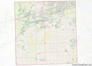
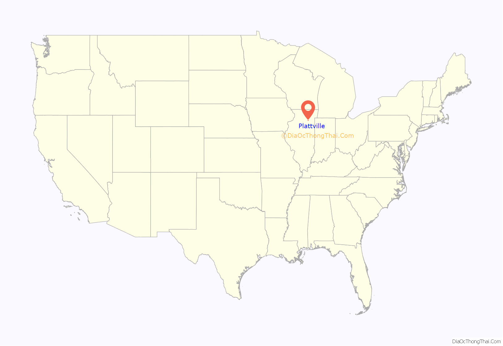
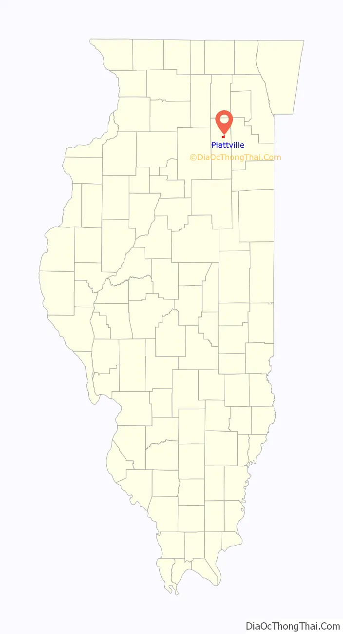
Plattville location map. Where is Plattville village?
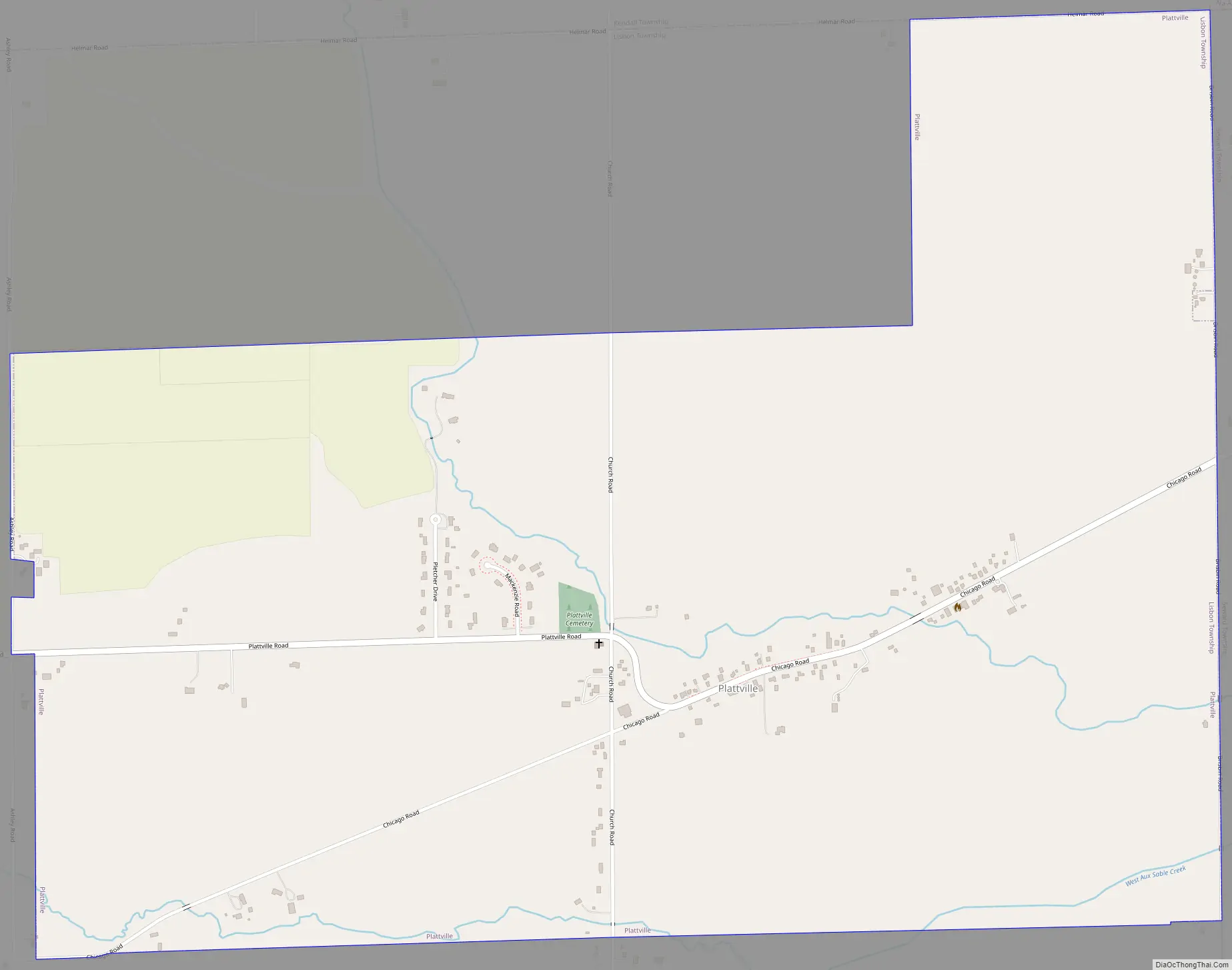
Plattville Road Map
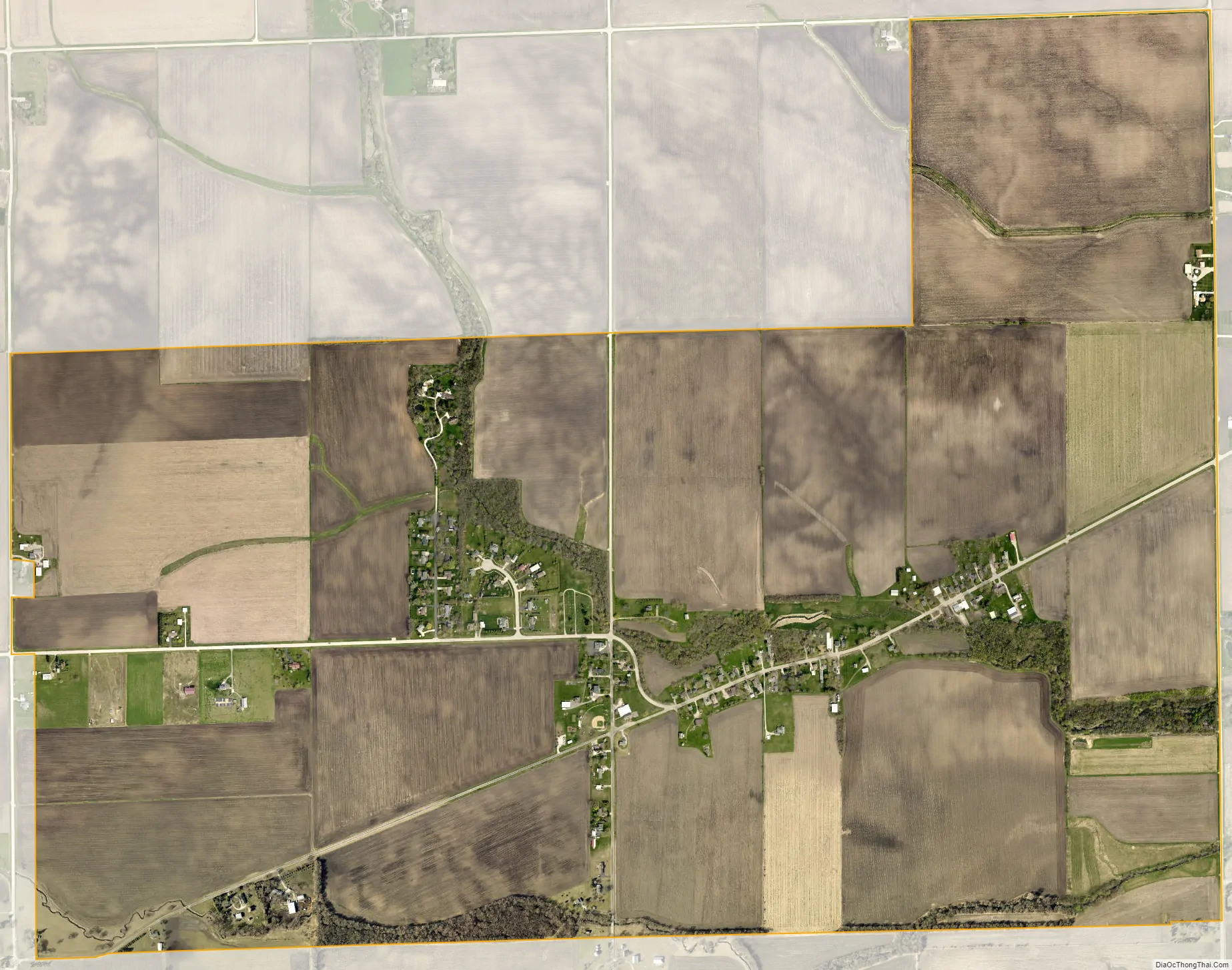
Plattville city Satellite Map
Geography
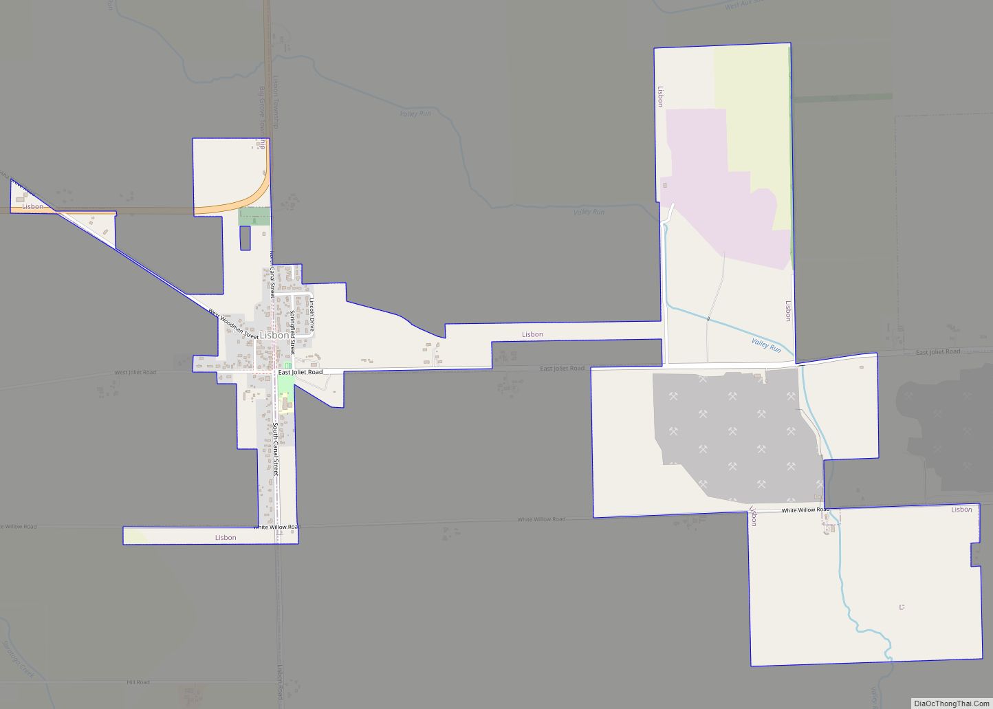
Plattville is in south-central Kendall County, 17 miles (27 km) west of the center of Joliet but less than 1 mile (1.6 km) west of the city’s western limits. The village is part of the Chicago metropolitan area. Yorkville lies to the north, and Lisbon lies to the southwest.
According to the 2010 census, Plattville has a total area of 2.27 square miles (5.88 km), all land.
See also
Map of Illinois State and its subdivision:- Adams
- Alexander
- Bond
- Boone
- Brown
- Bureau
- Calhoun
- Carroll
- Cass
- Champaign
- Christian
- Clark
- Clay
- Clinton
- Coles
- Cook
- Crawford
- Cumberland
- De Kalb
- De Witt
- Douglas
- Dupage
- Edgar
- Edwards
- Effingham
- Fayette
- Ford
- Franklin
- Fulton
- Gallatin
- Greene
- Grundy
- Hamilton
- Hancock
- Hardin
- Henderson
- Henry
- Iroquois
- Jackson
- Jasper
- Jefferson
- Jersey
- Jo Daviess
- Johnson
- Kane
- Kankakee
- Kendall
- Knox
- La Salle
- Lake
- Lake Michigan
- Lawrence
- Lee
- Livingston
- Logan
- Macon
- Macoupin
- Madison
- Marion
- Marshall
- Mason
- Massac
- McDonough
- McHenry
- McLean
- Menard
- Mercer
- Monroe
- Montgomery
- Morgan
- Moultrie
- Ogle
- Peoria
- Perry
- Piatt
- Pike
- Pope
- Pulaski
- Putnam
- Randolph
- Richland
- Rock Island
- Saint Clair
- Saline
- Sangamon
- Schuyler
- Scott
- Shelby
- Stark
- Stephenson
- Tazewell
- Union
- Vermilion
- Wabash
- Warren
- Washington
- Wayne
- White
- Whiteside
- Will
- Williamson
- Winnebago
- Woodford
- Alabama
- Alaska
- Arizona
- Arkansas
- California
- Colorado
- Connecticut
- Delaware
- District of Columbia
- Florida
- Georgia
- Hawaii
- Idaho
- Illinois
- Indiana
- Iowa
- Kansas
- Kentucky
- Louisiana
- Maine
- Maryland
- Massachusetts
- Michigan
- Minnesota
- Mississippi
- Missouri
- Montana
- Nebraska
- Nevada
- New Hampshire
- New Jersey
- New Mexico
- New York
- North Carolina
- North Dakota
- Ohio
- Oklahoma
- Oregon
- Pennsylvania
- Rhode Island
- South Carolina
- South Dakota
- Tennessee
- Texas
- Utah
- Vermont
- Virginia
- Washington
- West Virginia
- Wisconsin
- Wyoming