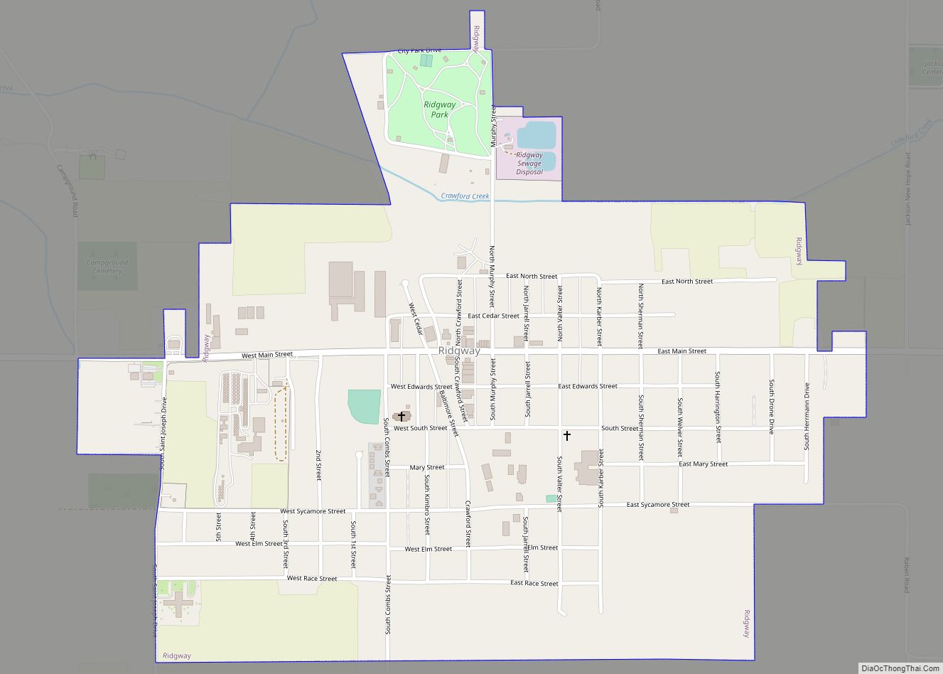
Ridgway is a village in Gallatin County, Illinois, United States. As of the 2020 census, the population was 851. As of 2018, Rebecca Mitchell was the town mayor.
| Name: | Ridgway village |
|---|---|
| LSAD Code: | 47 |
| LSAD Description: | village (suffix) |
| State: | Illinois |
| County: | Gallatin County |
| Elevation: | 374 ft (114 m) |
| Total Area: | 0.88 sq mi (2.28 km²) |
| Land Area: | 0.88 sq mi (2.28 km²) |
| Water Area: | 0.00 sq mi (0.00 km²) |
| Total Population: | 851 |
| Population Density: | 967.05/sq mi (373.48/km²) |
| Area code: | 618 |
| FIPS code: | 1764018 |
Online Interactive Map
Click on ![]() to view map in "full screen" mode.
to view map in "full screen" mode.
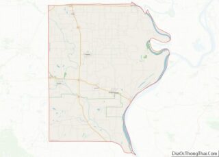
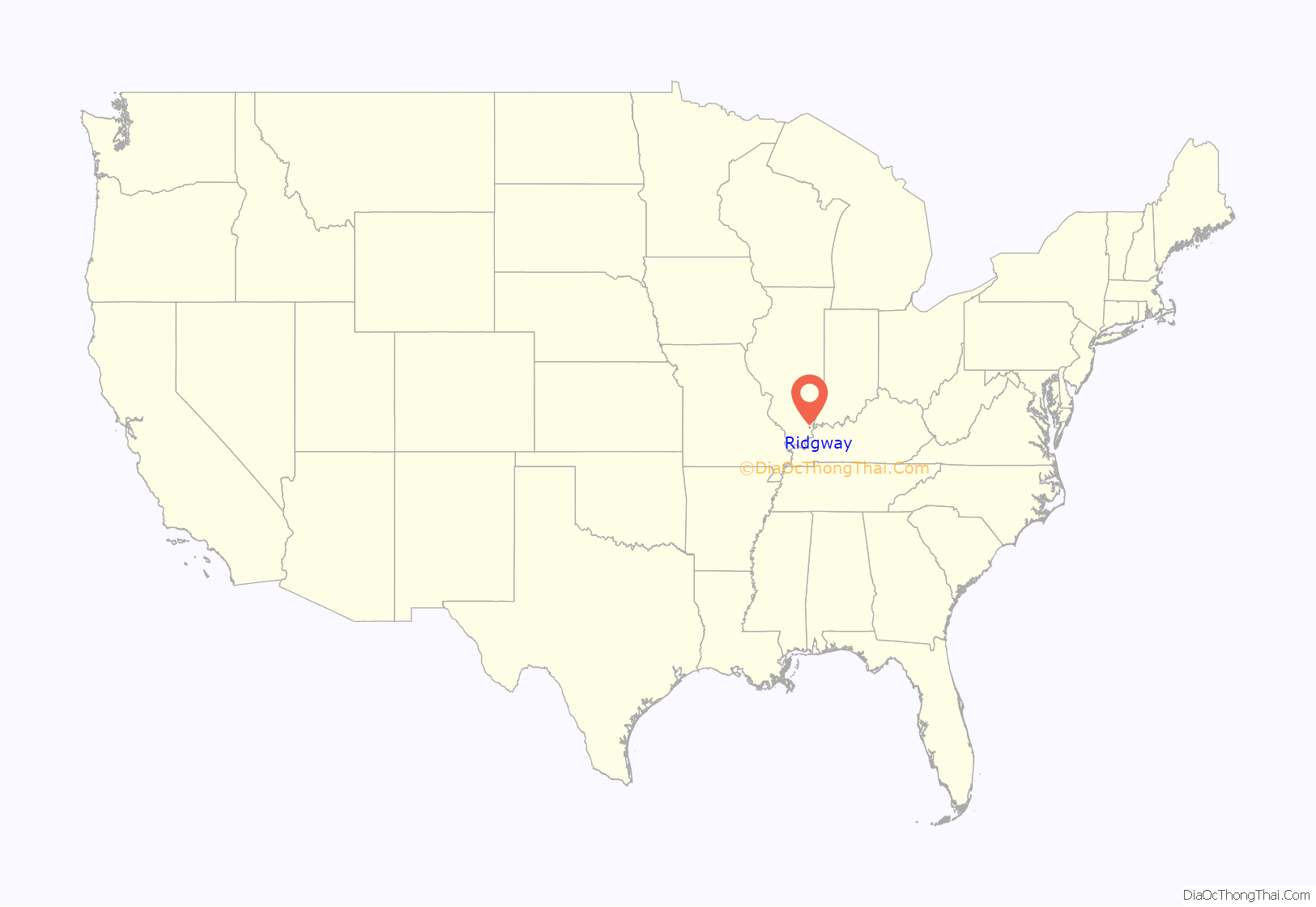
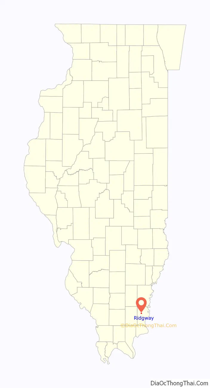
Ridgway location map. Where is Ridgway village?
History
Ridgway was established in 1866 as a construction camp along what would become the Springfield and Illinois South Eastern Railway. It was named for the railroad’s president, Thomas S. Ridgway.
The village, once home to a popcorn plant, is the former self-proclaimed “Popcorn Capital of the World”. Popcorn Day continues as part of the Gallatin County Fair and is held the second Saturday in September.
The February 2012 tornadoes, which killed seven in the nearby Harrisburg area, destroyed the St. Joseph’s Catholic Church in Ridgway. The church was rebuilt in 2015 under the name “St. Kateri,” in honor of Kateri Tekakwitha.
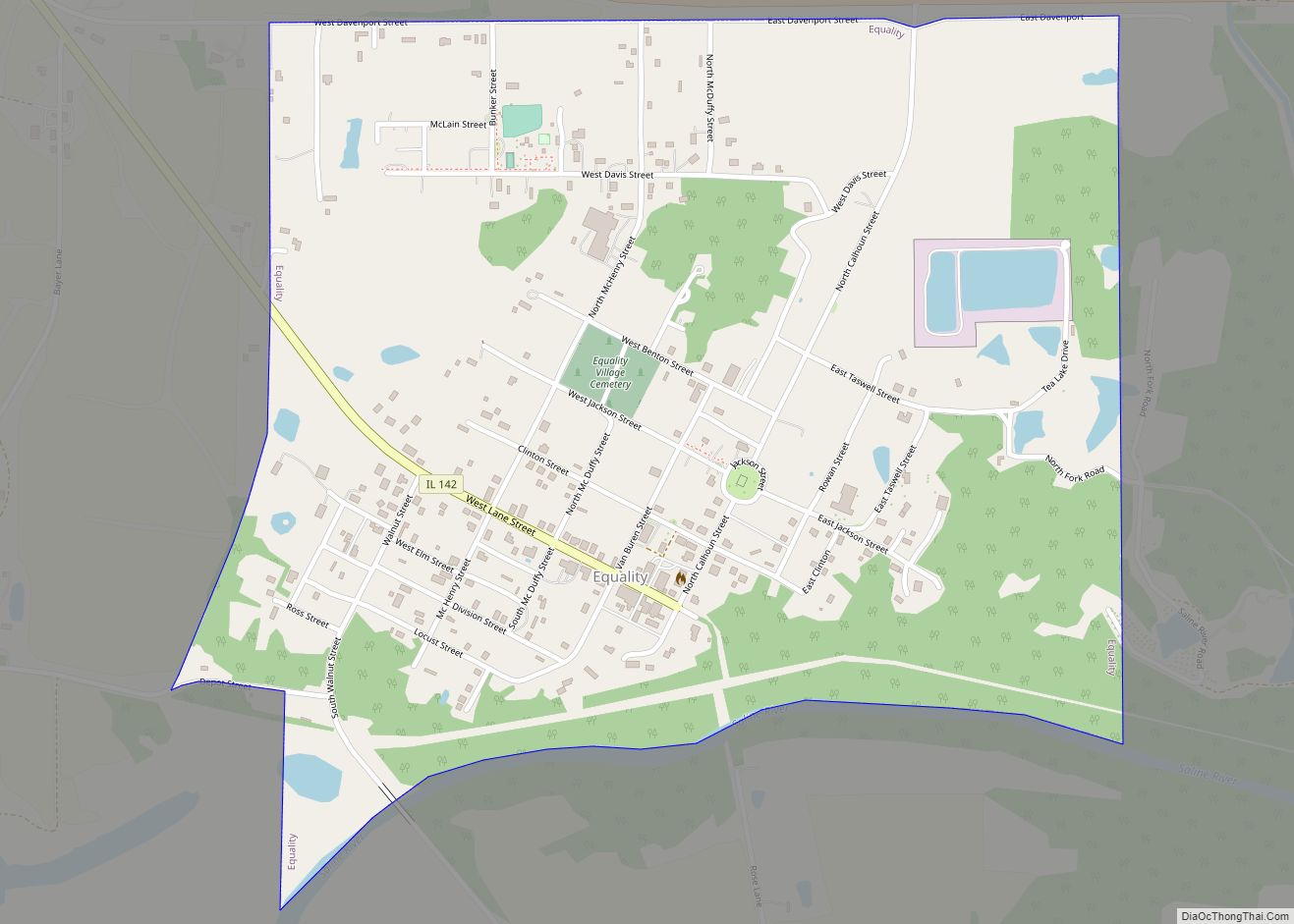
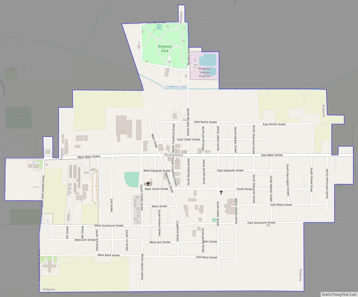
Ridgway Road Map
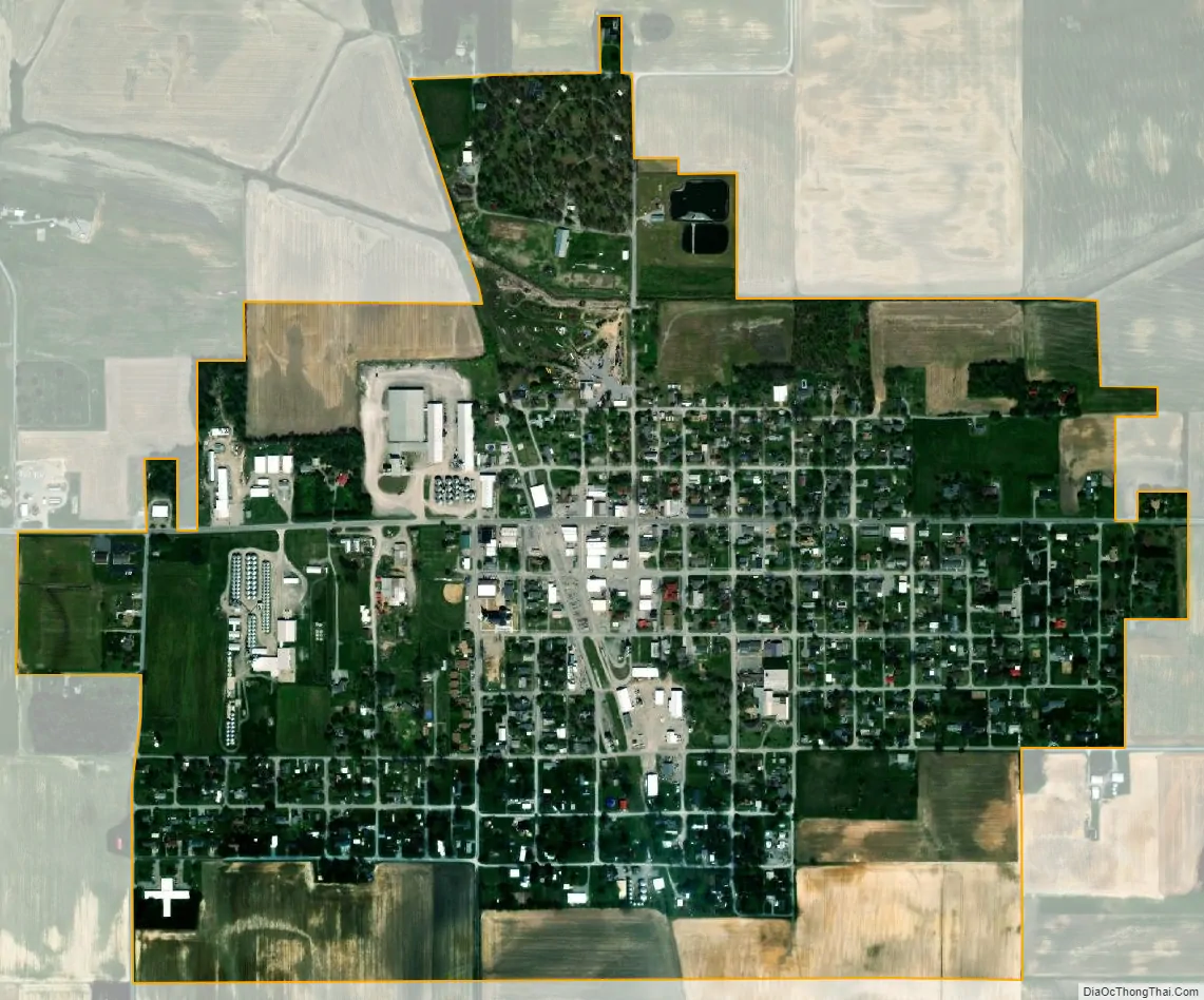
Ridgway city Satellite Map
Geography
Ridgway is located in southern Illinois at 37°47′53″N 88°15′38″W / 37.79806°N 88.26056°W / 37.79806; -88.26056 (37.798036, -88.260571), north of Shawnee National Forest. It is in north-central Gallatin County, 9 miles (14 km) northwest of Shawneetown, the county seat. The village is concentrated along Ridgway Newhaven Road, just east of Illinois Route 1.
According to the 2010 census, Ridgway has a total area of 0.911 square miles (2.36 km), of which 0.91 square miles (2.36 km) (or 99.89%) is land and 0.001 square miles (0.00 km) (or 0.11%) is water.
See also
Map of Illinois State and its subdivision:- Adams
- Alexander
- Bond
- Boone
- Brown
- Bureau
- Calhoun
- Carroll
- Cass
- Champaign
- Christian
- Clark
- Clay
- Clinton
- Coles
- Cook
- Crawford
- Cumberland
- De Kalb
- De Witt
- Douglas
- Dupage
- Edgar
- Edwards
- Effingham
- Fayette
- Ford
- Franklin
- Fulton
- Gallatin
- Greene
- Grundy
- Hamilton
- Hancock
- Hardin
- Henderson
- Henry
- Iroquois
- Jackson
- Jasper
- Jefferson
- Jersey
- Jo Daviess
- Johnson
- Kane
- Kankakee
- Kendall
- Knox
- La Salle
- Lake
- Lake Michigan
- Lawrence
- Lee
- Livingston
- Logan
- Macon
- Macoupin
- Madison
- Marion
- Marshall
- Mason
- Massac
- McDonough
- McHenry
- McLean
- Menard
- Mercer
- Monroe
- Montgomery
- Morgan
- Moultrie
- Ogle
- Peoria
- Perry
- Piatt
- Pike
- Pope
- Pulaski
- Putnam
- Randolph
- Richland
- Rock Island
- Saint Clair
- Saline
- Sangamon
- Schuyler
- Scott
- Shelby
- Stark
- Stephenson
- Tazewell
- Union
- Vermilion
- Wabash
- Warren
- Washington
- Wayne
- White
- Whiteside
- Will
- Williamson
- Winnebago
- Woodford
- Alabama
- Alaska
- Arizona
- Arkansas
- California
- Colorado
- Connecticut
- Delaware
- District of Columbia
- Florida
- Georgia
- Hawaii
- Idaho
- Illinois
- Indiana
- Iowa
- Kansas
- Kentucky
- Louisiana
- Maine
- Maryland
- Massachusetts
- Michigan
- Minnesota
- Mississippi
- Missouri
- Montana
- Nebraska
- Nevada
- New Hampshire
- New Jersey
- New Mexico
- New York
- North Carolina
- North Dakota
- Ohio
- Oklahoma
- Oregon
- Pennsylvania
- Rhode Island
- South Carolina
- South Dakota
- Tennessee
- Texas
- Utah
- Vermont
- Virginia
- Washington
- West Virginia
- Wisconsin
- Wyoming