Thomson is a village along Illinois Route 84 near the Mississippi River in Carroll County, Illinois, United States. The population was 590 at the 2010 census, up from 559 at the 2000 census. Just north of the village is the United States Penitentiary, Thomson, a mostly-unused former state prison, purchased by the Federal Bureau of Prisons in 2012. Currently USP Thomson houses over 100 low-security inmates as it remodels to federal maximum-security standards.
Thomson is known for wonderful watermelons, and it has the nickname “Melon Capital of the World.”
| Name: | Thomson village |
|---|---|
| LSAD Code: | 47 |
| LSAD Description: | village (suffix) |
| State: | Illinois |
| County: | Carroll County |
| Elevation: | 597 ft (182 m) |
| Total Area: | 2.22 sq mi (5.75 km²) |
| Land Area: | 2.22 sq mi (5.75 km²) |
| Water Area: | 0.00 sq mi (0.00 km²) |
| Total Population: | 1,610 |
| Population Density: | 725.55/sq mi (280.19/km²) |
| Area code: | 815 |
| FIPS code: | 1775172 |
| Website: | http://www.thomsonil.com |
Online Interactive Map
Click on ![]() to view map in "full screen" mode.
to view map in "full screen" mode.
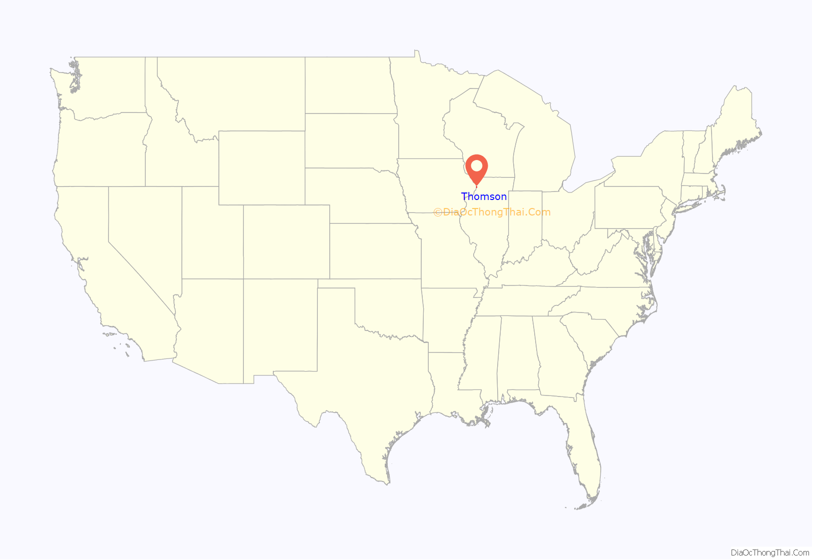
Thomson location map. Where is Thomson village?
History
Prison
The United States Penitentiary, Thomson (formerly Thomson Correctional Center) was opened in 2001, but as of 2009 has never had a prisoner in its main, 1600-bed maximum-security unit; the only prison population has been in the 200-bed minimum-security unit, which was populated in 2006 and averages about 150 prisoners. The minimum security unit has an annual budget of $7 million. State budget constraints, as well as labor union opposition to closing other state prisons, prevented the maximum-security prison from opening.
In 2008, Illinois Governor Rod Blagojevich proposed closing the state prison in Pontiac, Illinois and opening the Thomson maximum-security unit instead. However, Blagojevich was subsequently arrested on December 9, 2008, and removed from office. His replacement, Governor Pat Quinn cancelled plans to close the Pontiac prison in March 2009, leaving Thomson unused.
In 2009 the United States government announced that prisoners at the Guantanamo Bay detention camp would be moved to the prison in Thomson. CNN stated that before the decision was announced, many people in the town wanted the Guantanamo prisoners to be housed there so the town could get economic benefits.
On December 15, 2009, President Barack Obama ordered the federal government to proceed with acquisition of the underutilized state prison in Thomson to be the new home for a limited number of terror suspects held at Guantanamo Bay, Cuba. The facility was also be used as a Bureau of Prisons facility to house other federal inmates. In response to the 2009 presidential order, the American Federation of State County and Municipal Employees (AFSCME), which represents 13,000 Illinois prison staff, argued that rather than turn the maximum-security unit over to the Federal government, it should be used to relieve overcrowding in other Illinois prisons. AFSCME claims that the other facilities were designed for 32,000 prisoners, but currently house 45,000. Subsequent Congressional banning of federal expenditures for imprisoning in the United States of terror suspects held at Guantanamo Bay, Cuba, stopped the Obama plans regarding those terror suspects, even though the federal government announced on October 2, 2012 that the acquisition of Thomson is going forward.
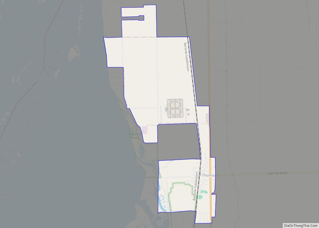
Thomson Road Map
Thomson city Satellite Map
Geography
Thomson is located at 41°57′37″N 90°6′11″W / 41.96028°N 90.10306°W / 41.96028; -90.10306 (41.960168, -90.103152), about a mile (kilometer and a half) east of the Mississippi River in northwestern Illinois, 9 miles (14 km) northeast of Clinton, Iowa, 38 miles (61 km) northeast of Moline, Illinois in the Quad Cities, and 120 miles (190 km) west of Chicago.
According to the 2021 census gazetteer files, Thomson has a total area of 2.22 square miles (5.75 km), all land.
See also
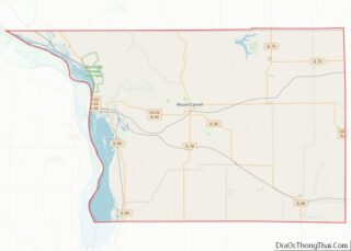
Map of Illinois State and its subdivision:- Adams
- Alexander
- Bond
- Boone
- Brown
- Bureau
- Calhoun
- Carroll
- Cass
- Champaign
- Christian
- Clark
- Clay
- Clinton
- Coles
- Cook
- Crawford
- Cumberland
- De Kalb
- De Witt
- Douglas
- Dupage
- Edgar
- Edwards
- Effingham
- Fayette
- Ford
- Franklin
- Fulton
- Gallatin
- Greene
- Grundy
- Hamilton
- Hancock
- Hardin
- Henderson
- Henry
- Iroquois
- Jackson
- Jasper
- Jefferson
- Jersey
- Jo Daviess
- Johnson
- Kane
- Kankakee
- Kendall
- Knox
- La Salle
- Lake
- Lake Michigan
- Lawrence
- Lee
- Livingston
- Logan
- Macon
- Macoupin
- Madison
- Marion
- Marshall
- Mason
- Massac
- McDonough
- McHenry
- McLean
- Menard
- Mercer
- Monroe
- Montgomery
- Morgan
- Moultrie
- Ogle
- Peoria
- Perry
- Piatt
- Pike
- Pope
- Pulaski
- Putnam
- Randolph
- Richland
- Rock Island
- Saint Clair
- Saline
- Sangamon
- Schuyler
- Scott
- Shelby
- Stark
- Stephenson
- Tazewell
- Union
- Vermilion
- Wabash
- Warren
- Washington
- Wayne
- White
- Whiteside
- Will
- Williamson
- Winnebago
- Woodford
- Alabama
- Alaska
- Arizona
- Arkansas
- California
- Colorado
- Connecticut
- Delaware
- District of Columbia
- Florida
- Georgia
- Hawaii
- Idaho
- Illinois
- Indiana
- Iowa
- Kansas
- Kentucky
- Louisiana
- Maine
- Maryland
- Massachusetts
- Michigan
- Minnesota
- Mississippi
- Missouri
- Montana
- Nebraska
- Nevada
- New Hampshire
- New Jersey
- New Mexico
- New York
- North Carolina
- North Dakota
- Ohio
- Oklahoma
- Oregon
- Pennsylvania
- Rhode Island
- South Carolina
- South Dakota
- Tennessee
- Texas
- Utah
- Vermont
- Virginia
- Washington
- West Virginia
- Wisconsin
- Wyoming
