Toluca is a city in Marshall County, Illinois, United States. The population was 1,340 at the 2020 census. It is part of the Peoria, Illinois, Metropolitan Statistical Area.
| Name: | Toluca city |
|---|---|
| LSAD Code: | 25 |
| LSAD Description: | city (suffix) |
| State: | Illinois |
| County: | Marshall County |
| Elevation: | 696 ft (212 m) |
| Total Area: | 1.06 sq mi (2.75 km²) |
| Land Area: | 1.06 sq mi (2.75 km²) |
| Water Area: | 0.00 sq mi (0.00 km²) 0% |
| Total Population: | 1,340 |
| Population Density: | 1,261.77/sq mi (487.13/km²) |
| ZIP code: | 61369 |
| FIPS code: | 1775653 |
| Website: | www.cityoftoluca.org |
Online Interactive Map
Click on ![]() to view map in "full screen" mode.
to view map in "full screen" mode.
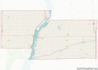
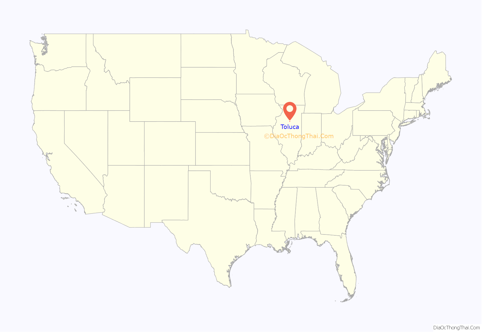
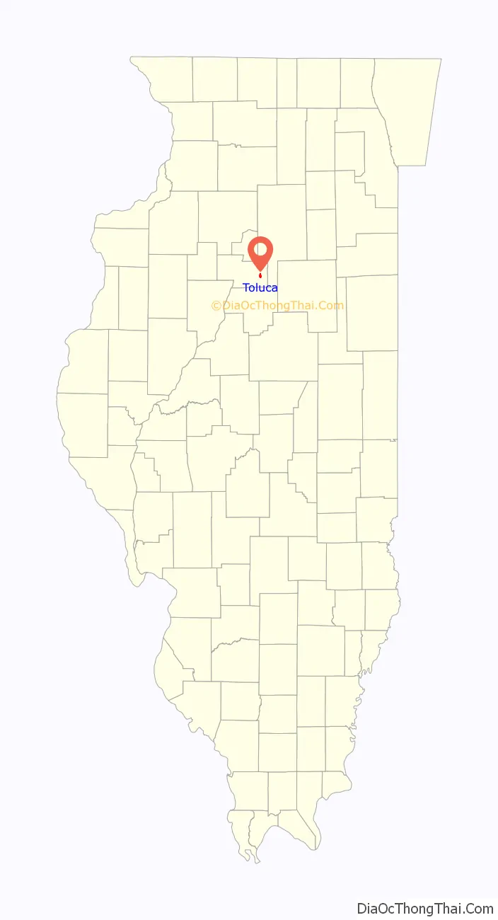
Toluca location map. Where is Toluca city?
History
Toluca was established in 1887 as a stop on the Atchison, Topeka, and Santa Fe Railway, on land owned by Marshall County native William Twist. In that year, local farmers led by Twist requested that the railroad make Toluca a regular stop. Their request was granted. With the backing of a Chicago firm, a grain elevator was built and maintained by Thomas Colehower of Long Point, Illinois. Colehower built the first house in the area of Toluca now called Old Town. In 1892, the Devlin Coal Company began mining coal at Toluca.
The population of Toluca increased, and by 1894 it was incorporated as a city. Its growth continued, fueled by immigrants from Poland, Italy, and Lithuania who came to work in the coal mines. In 1900, it had approximately 2,629 inhabitants. But by 1924, the coal mines were unprofitable and they closed down. The population shrank drastically as a result.
Miners from Toluca led a mob for the lynching of F. W. Stewart at Lacon on November 7, 1898.
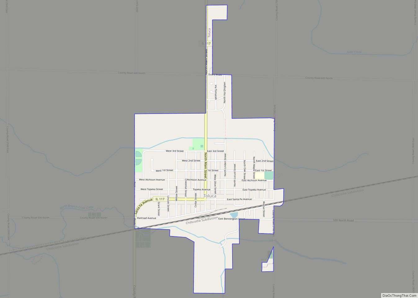
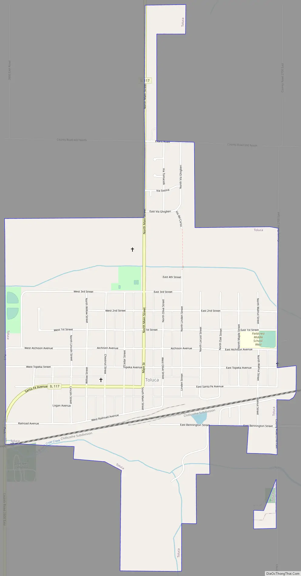
Toluca Road Map
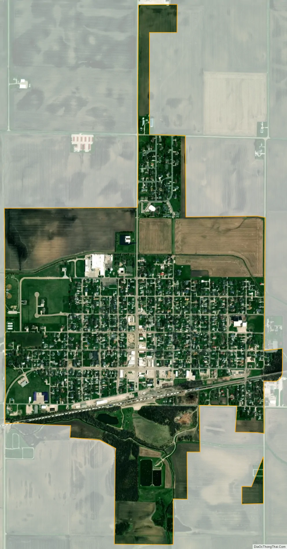
Toluca city Satellite Map
Geography
Toluca is located in eastern Marshall County at 41°0′12″N 89°8′0″W / 41.00333°N 89.13333°W / 41.00333; -89.13333 (41.003368, -89.133244). Illinois Route 117 passes through the city as Main Street and Santa Fe Avenue, leading north 2 miles (3 km) to Illinois Route 17 and south 16 miles (26 km) to Roanoke. Via Route 17, Wenona is 8 miles (13 km) to the northeast and Lacon, the Marshall county seat, is 16 miles (26 km) to the west.
According to the U.S. Census Bureau, Toluca has a total area of 1.06 square miles (2.75 km), all land. The North Branch of Crow Creek runs through the south side of the city, flowing west to Crow Creek and eventually the Illinois River.
See also
Map of Illinois State and its subdivision:- Adams
- Alexander
- Bond
- Boone
- Brown
- Bureau
- Calhoun
- Carroll
- Cass
- Champaign
- Christian
- Clark
- Clay
- Clinton
- Coles
- Cook
- Crawford
- Cumberland
- De Kalb
- De Witt
- Douglas
- Dupage
- Edgar
- Edwards
- Effingham
- Fayette
- Ford
- Franklin
- Fulton
- Gallatin
- Greene
- Grundy
- Hamilton
- Hancock
- Hardin
- Henderson
- Henry
- Iroquois
- Jackson
- Jasper
- Jefferson
- Jersey
- Jo Daviess
- Johnson
- Kane
- Kankakee
- Kendall
- Knox
- La Salle
- Lake
- Lake Michigan
- Lawrence
- Lee
- Livingston
- Logan
- Macon
- Macoupin
- Madison
- Marion
- Marshall
- Mason
- Massac
- McDonough
- McHenry
- McLean
- Menard
- Mercer
- Monroe
- Montgomery
- Morgan
- Moultrie
- Ogle
- Peoria
- Perry
- Piatt
- Pike
- Pope
- Pulaski
- Putnam
- Randolph
- Richland
- Rock Island
- Saint Clair
- Saline
- Sangamon
- Schuyler
- Scott
- Shelby
- Stark
- Stephenson
- Tazewell
- Union
- Vermilion
- Wabash
- Warren
- Washington
- Wayne
- White
- Whiteside
- Will
- Williamson
- Winnebago
- Woodford
- Alabama
- Alaska
- Arizona
- Arkansas
- California
- Colorado
- Connecticut
- Delaware
- District of Columbia
- Florida
- Georgia
- Hawaii
- Idaho
- Illinois
- Indiana
- Iowa
- Kansas
- Kentucky
- Louisiana
- Maine
- Maryland
- Massachusetts
- Michigan
- Minnesota
- Mississippi
- Missouri
- Montana
- Nebraska
- Nevada
- New Hampshire
- New Jersey
- New Mexico
- New York
- North Carolina
- North Dakota
- Ohio
- Oklahoma
- Oregon
- Pennsylvania
- Rhode Island
- South Carolina
- South Dakota
- Tennessee
- Texas
- Utah
- Vermont
- Virginia
- Washington
- West Virginia
- Wisconsin
- Wyoming