Venetian Village is a census-designated place (CDP) in Lake County, Illinois, United States. Per the 2020 census, the population was 2,761.
| Name: | Venetian Village CDP |
|---|---|
| LSAD Code: | 57 |
| LSAD Description: | CDP (suffix) |
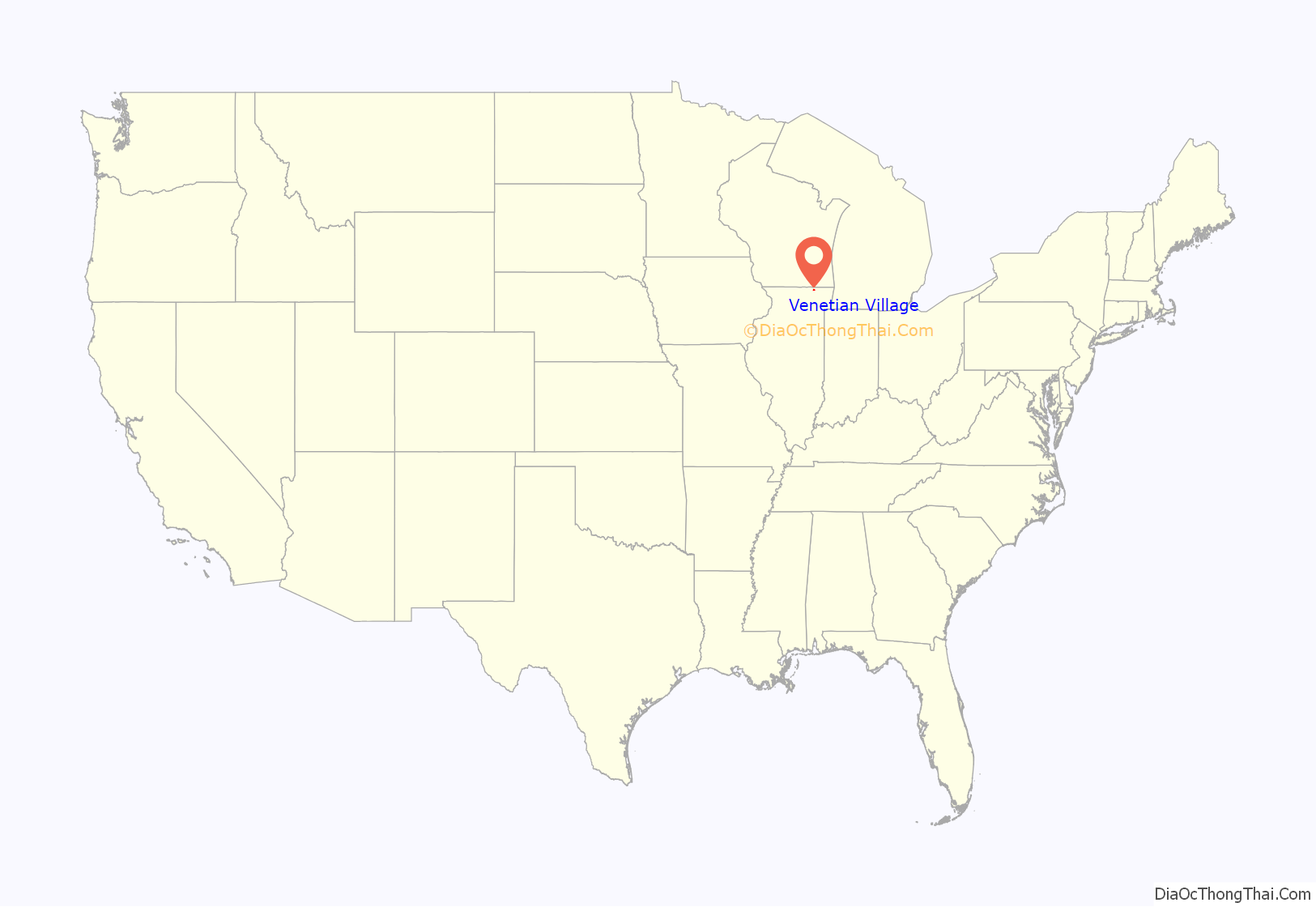
| State: | Illinois |
| County: | Lake County |
| Total Area: | 2.38 sq mi (6.17 km²) |
| Land Area: | 1.77 sq mi (4.59 km²) |
| Water Area: | 0.61 sq mi (1.58 km²) |
| Total Population: | 2,761 |
| Population Density: | 1,556.37/sq mi (601.00/km²) |
| FIPS code: | 1777460 |
Online Interactive Map
Click on ![]() to view map in "full screen" mode.
to view map in "full screen" mode.
Venetian Village location map. Where is Venetian Village CDP?
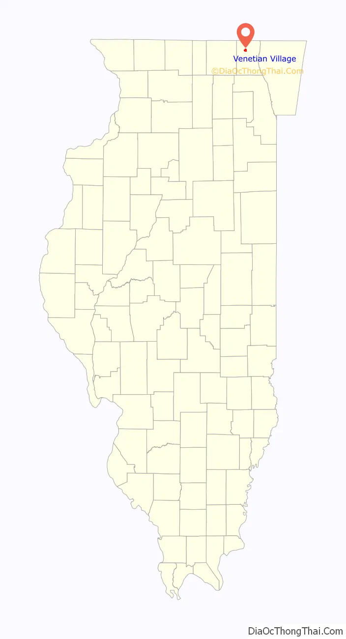
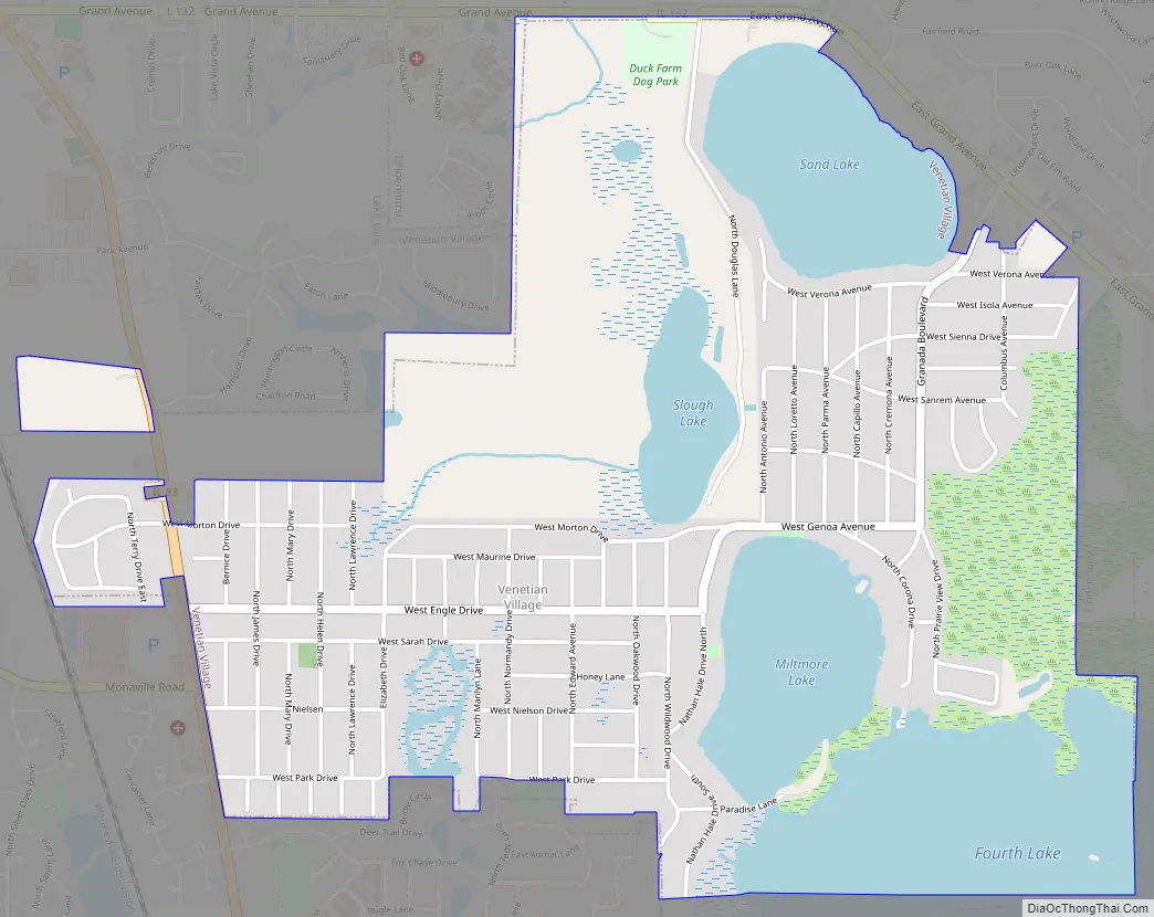
Venetian Village Road Map
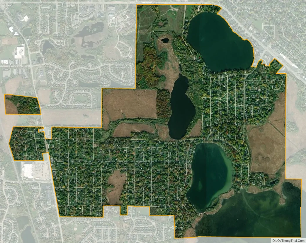
Venetian Village city Satellite Map
Geography
Venetian Village is located in northwestern Lake County at 42°23′56″N 88°2′52″W / 42.39889°N 88.04778°W / 42.39889; -88.04778 (42.398871, -88.047845), in the southeast part of Lake Villa Township. It consists of several neighborhoods adjacent to four lakes: Sand Lake, Slough Lake, Miltmore Lake, and Fourth Lake. The neighborhood of Venetian Village is in the eastern part of the CDP, while West Miltmore is in the west.
Illinois Route 83 runs along the western edge of the CDP, leading north 1 mile (1.6 km) to the center of Lake Villa and south 4 miles (6 km) to Grayslake. Illinois Route 132 passes the northern edge of Venetian Village, leading west into Lake Villa and southeast 8 miles (13 km) to Gurnee.
According to the United States Census Bureau, the CDP has a total area of 2.4 square miles (6.1 km), of which 1.7 square miles (4.5 km) are land and 0.6 square miles (1.6 km), or 25.84%, are water.
See also
Map of Illinois State and its subdivision:- Adams
- Alexander
- Bond
- Boone
- Brown
- Bureau
- Calhoun
- Carroll
- Cass
- Champaign
- Christian
- Clark
- Clay
- Clinton
- Coles
- Cook
- Crawford
- Cumberland
- De Kalb
- De Witt
- Douglas
- Dupage
- Edgar
- Edwards
- Effingham
- Fayette
- Ford
- Franklin
- Fulton
- Gallatin
- Greene
- Grundy
- Hamilton
- Hancock
- Hardin
- Henderson
- Henry
- Iroquois
- Jackson
- Jasper
- Jefferson
- Jersey
- Jo Daviess
- Johnson
- Kane
- Kankakee
- Kendall
- Knox
- La Salle
- Lake
- Lake Michigan
- Lawrence
- Lee
- Livingston
- Logan
- Macon
- Macoupin
- Madison
- Marion
- Marshall
- Mason
- Massac
- McDonough
- McHenry
- McLean
- Menard
- Mercer
- Monroe
- Montgomery
- Morgan
- Moultrie
- Ogle
- Peoria
- Perry
- Piatt
- Pike
- Pope
- Pulaski
- Putnam
- Randolph
- Richland
- Rock Island
- Saint Clair
- Saline
- Sangamon
- Schuyler
- Scott
- Shelby
- Stark
- Stephenson
- Tazewell
- Union
- Vermilion
- Wabash
- Warren
- Washington
- Wayne
- White
- Whiteside
- Will
- Williamson
- Winnebago
- Woodford
- Alabama
- Alaska
- Arizona
- Arkansas
- California
- Colorado
- Connecticut
- Delaware
- District of Columbia
- Florida
- Georgia
- Hawaii
- Idaho
- Illinois
- Indiana
- Iowa
- Kansas
- Kentucky
- Louisiana
- Maine
- Maryland
- Massachusetts
- Michigan
- Minnesota
- Mississippi
- Missouri
- Montana
- Nebraska
- Nevada
- New Hampshire
- New Jersey
- New Mexico
- New York
- North Carolina
- North Dakota
- Ohio
- Oklahoma
- Oregon
- Pennsylvania
- Rhode Island
- South Carolina
- South Dakota
- Tennessee
- Texas
- Utah
- Vermont
- Virginia
- Washington
- West Virginia
- Wisconsin
- Wyoming


