Waltonville is a village in Jefferson County, Illinois, United States. The population was 434 at the 2010 census. It is part of the Mount Vernon Micropolitan Statistical Area.
| Name: | Waltonville village |
|---|---|
| LSAD Code: | 47 |
| LSAD Description: | village (suffix) |
| State: | Illinois |
| County: | Jefferson County |
| Elevation: | 459 ft (140 m) |
| Total Area: | 1.26 sq mi (3.27 km²) |
| Land Area: | 1.24 sq mi (3.21 km²) |
| Water Area: | 0.02 sq mi (0.05 km²) |
| Total Population: | 408 |
| Population Density: | 329.03/sq mi (127.00/km²) |
| ZIP code: | 62894 |
| Area code: | 618 |
| FIPS code: | 1778708 |
| Website: | www.thevillageofwaltonville.com |
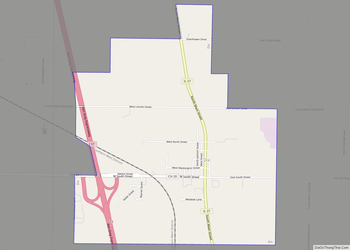
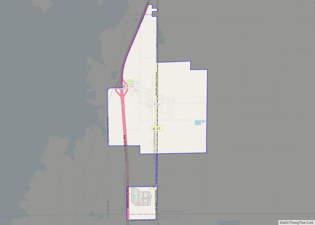
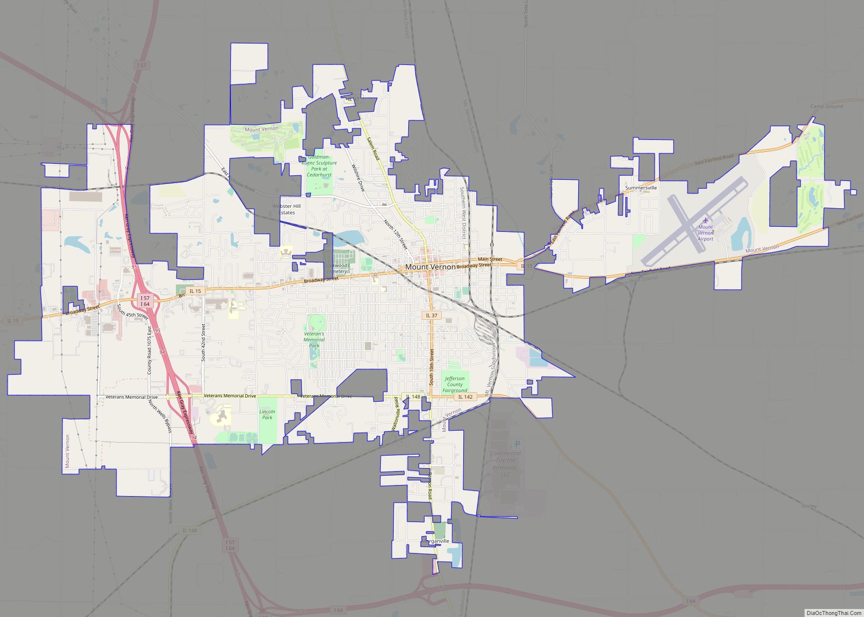
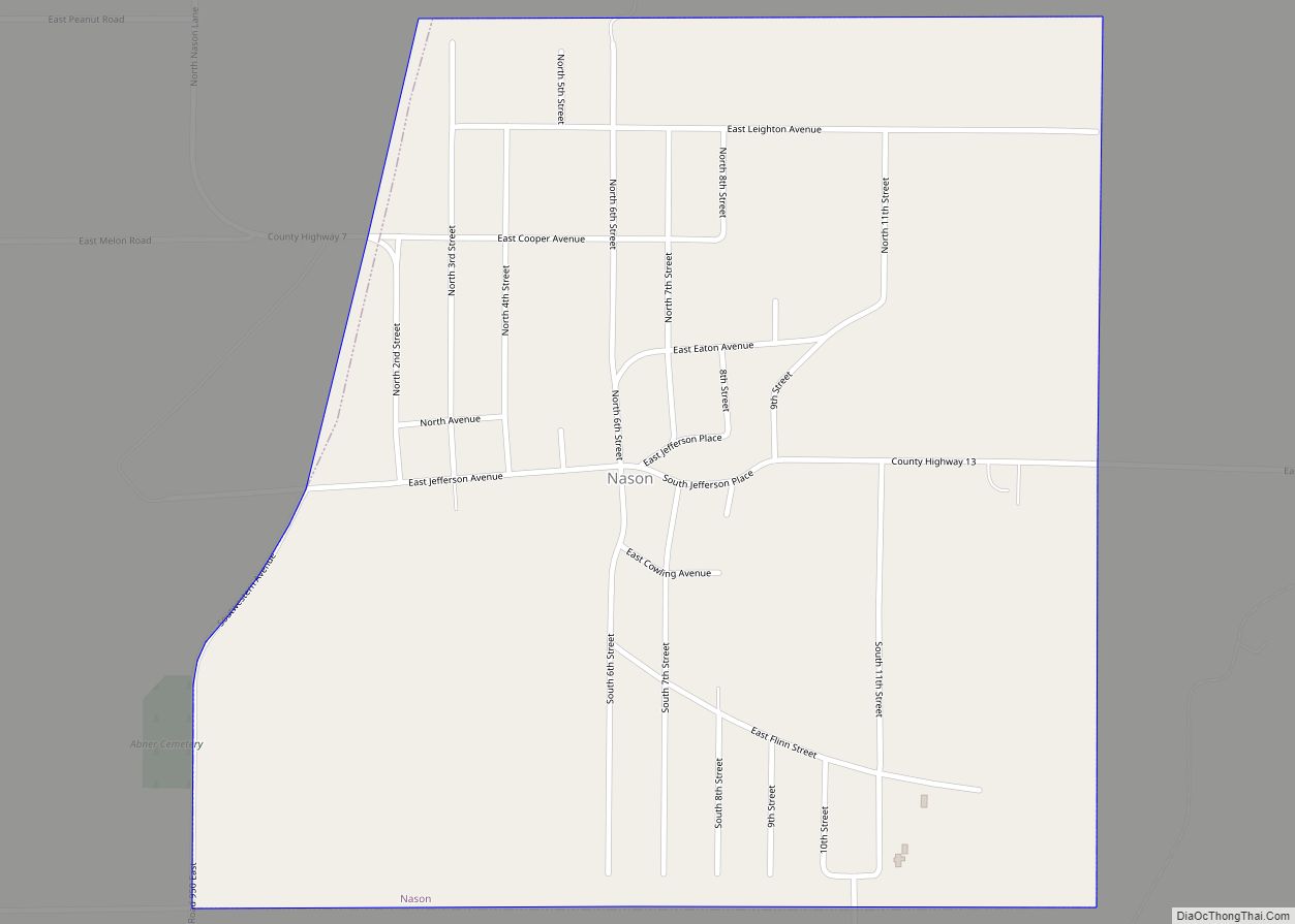
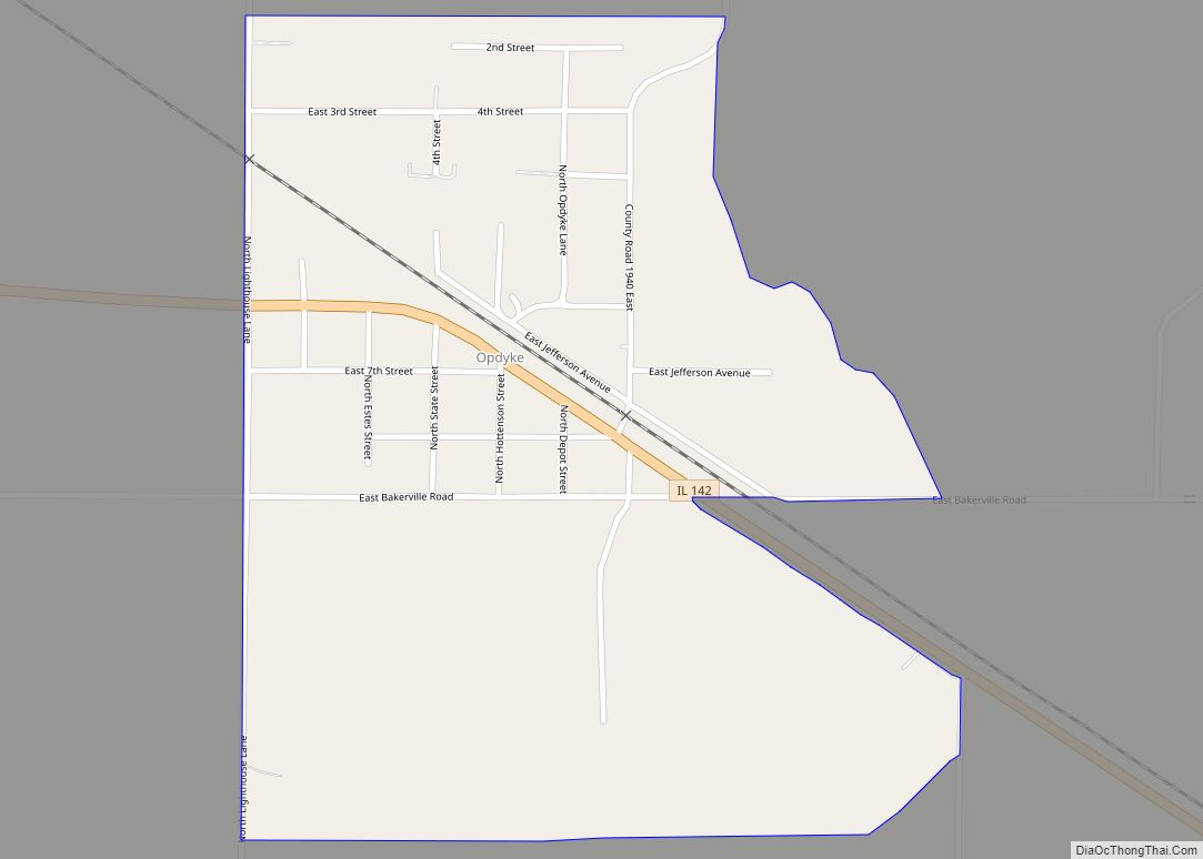
Online Interactive Map
Click on ![]() to view map in "full screen" mode.
to view map in "full screen" mode.
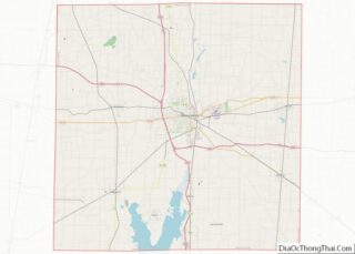
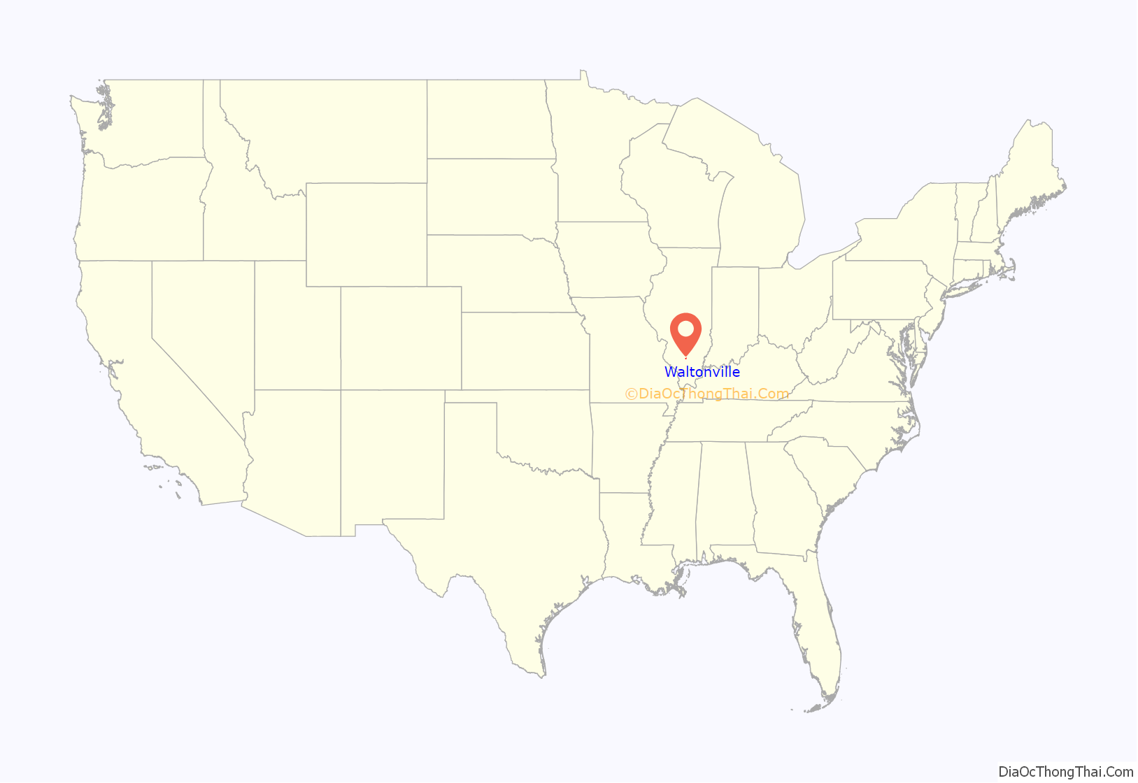
Waltonville location map. Where is Waltonville village?
History
There were a series of small settlements near Waltonville prior to its formation. In 1840, Eli Gilbert dammed Rayse Creek about a mile northeast of Waltonville, near the point where the Mt. Vernon/Pinckneyville road crossed the creek. He built a saw mill, grist mill and store at this location, which was called “Mill Town”. In 1860, Knob Creek Post Office was opened there. This was in McClellan Township.
In 1867, a settlement called Williamsburg was started, about a half mile west of Mill Town. This was in Knob Prairie, Blissville Township, just to the north of the present town of Waltonville. Knob Prairie owes its name to a steep hill, or knob, that arises just to the northwest of Waltonville. The town’s water tower sits atop the knob.
Williamsburg was platted in 1867. It was possibly named for the surveyor, J. D. Williams. Williamsburg was at the intersection of the Shawneetown/Nashville and Mt. Vernon/Pinckneyville roads, neither of which exist any more. After the post office refused to recognize the “Williamsburg” name, it was called the “Laur Post Office”, after Capt. Joseph Laur, who commanded a local company in the Civil War.
Waltonville, to the south of the knob, started as a small store owned by Rob Mannen. The town was named for his mother, Eliza A. Walton Mannen. The town took off in 1893 with the completion of a rail line from Mt. Vernon to Chester. Williamsburg moved down to the new rail depot. The rail line is now part of the Union Pacific system.
The Universalist Church existed in Williamsburg prior to 1870, and moved to Waltonville before 1906. This church was still operating as late as 1980. Waltonville was for many years the smallest town in the United States to have a Universalist Church. This may be another reflection of the numerous obscure ethnic groups that maintained an identity in the rural coal fields of Southern Illinois.
Many underground coal mines were opened near Waltonville. Immigrants came to work these mines, mainly from Poland. By the 1950s, the rural areas west of Waltonville were predominantly Polish, and the main language spoken was Polish. That language slowly faded with the advent of television. Today, only a few people speak any Polish. Many still identify as Polish, though, and they continue to attend St. Barbara’s Catholic Church in nearby Scheller.
Waltonville Road Map
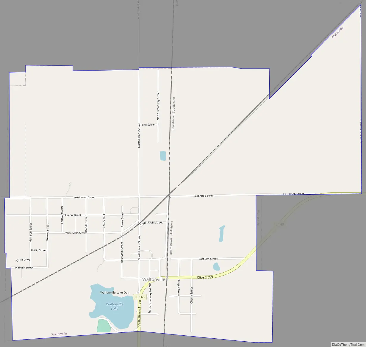
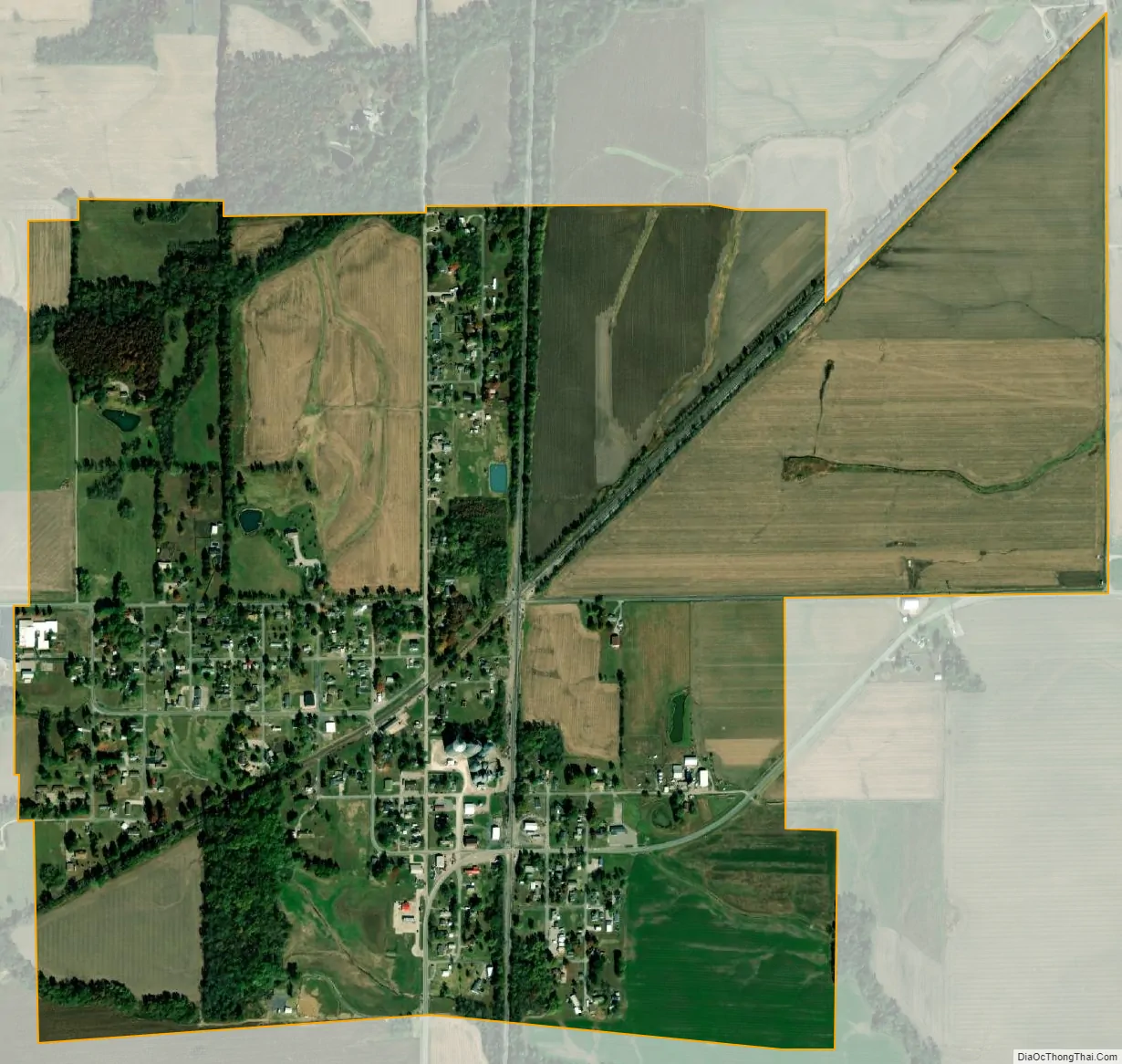
Waltonville city Satellite Map
Geography
Waltonville is located in southwestern Jefferson County. Illinois Route 148 passes through the southeast part of the village, leading northeast 13 miles (21 km) to Mount Vernon, the county seat, and south 8 miles (13 km) to Sesser.
According to the 2010 census, Waltonville has a total area of 1.201 square miles (3.11 km), of which 1.18 square miles (3.06 km) (or 98.25%) is land and 0.021 square miles (0.05 km) (or 1.75%) is water.
Waltonville is in the northeast corner of Bald Hill Township, the southeast corner of Blissville Township, the southeast corner of McClellan Township, and the northwest corner of Elk Prairie Township. Most of the developed parts of the village are in Bald Hill and Elk Prairie townships.
Blissville Township was named in honor of Augustus Bliss, who lived in nearby Casner Township, and who started a settlement in 1841. Blissville was located about 8 miles (13 km) northwest of Waltonville. Bliss caught the gold fever in 1849, but died of cholera on his way to California.
See also
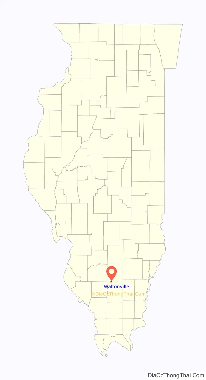
Map of Illinois State and its subdivision:- Adams
- Alexander
- Bond
- Boone
- Brown
- Bureau
- Calhoun
- Carroll
- Cass
- Champaign
- Christian
- Clark
- Clay
- Clinton
- Coles
- Cook
- Crawford
- Cumberland
- De Kalb
- De Witt
- Douglas
- Dupage
- Edgar
- Edwards
- Effingham
- Fayette
- Ford
- Franklin
- Fulton
- Gallatin
- Greene
- Grundy
- Hamilton
- Hancock
- Hardin
- Henderson
- Henry
- Iroquois
- Jackson
- Jasper
- Jefferson
- Jersey
- Jo Daviess
- Johnson
- Kane
- Kankakee
- Kendall
- Knox
- La Salle
- Lake
- Lake Michigan
- Lawrence
- Lee
- Livingston
- Logan
- Macon
- Macoupin
- Madison
- Marion
- Marshall
- Mason
- Massac
- McDonough
- McHenry
- McLean
- Menard
- Mercer
- Monroe
- Montgomery
- Morgan
- Moultrie
- Ogle
- Peoria
- Perry
- Piatt
- Pike
- Pope
- Pulaski
- Putnam
- Randolph
- Richland
- Rock Island
- Saint Clair
- Saline
- Sangamon
- Schuyler
- Scott
- Shelby
- Stark
- Stephenson
- Tazewell
- Union
- Vermilion
- Wabash
- Warren
- Washington
- Wayne
- White
- Whiteside
- Will
- Williamson
- Winnebago
- Woodford
- Alabama
- Alaska
- Arizona
- Arkansas
- California
- Colorado
- Connecticut
- Delaware
- District of Columbia
- Florida
- Georgia
- Hawaii
- Idaho
- Illinois
- Indiana
- Iowa
- Kansas
- Kentucky
- Louisiana
- Maine
- Maryland
- Massachusetts
- Michigan
- Minnesota
- Mississippi
- Missouri
- Montana
- Nebraska
- Nevada
- New Hampshire
- New Jersey
- New Mexico
- New York
- North Carolina
- North Dakota
- Ohio
- Oklahoma
- Oregon
- Pennsylvania
- Rhode Island
- South Carolina
- South Dakota
- Tennessee
- Texas
- Utah
- Vermont
- Virginia
- Washington
- West Virginia
- Wisconsin
- Wyoming