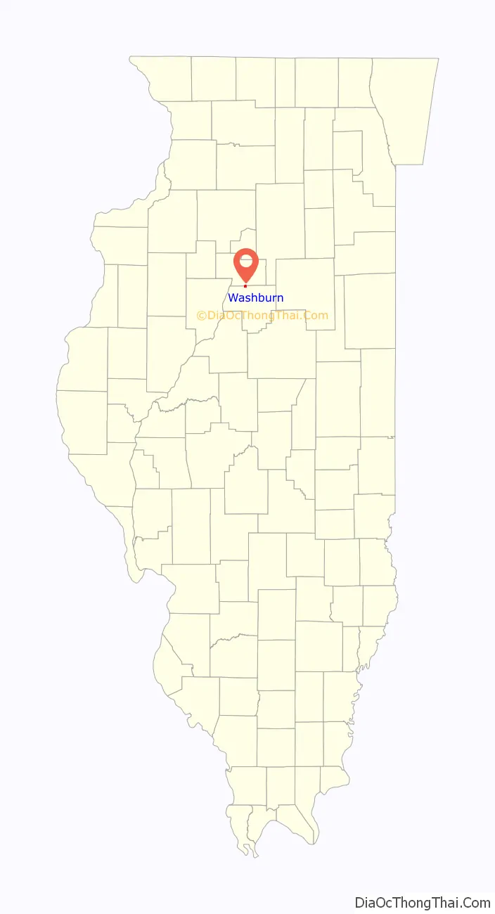
Washburn is a village mostly in Woodford County, with a small northerly portion in Marshall County, Illinois, United States. The population was 1,032 at the 2020 census. It is part of the Peoria Metropolitan Statistical Area.
| Name: | Washburn village |
|---|---|
| LSAD Code: | 47 |
| LSAD Description: | village (suffix) |
| State: | Illinois |
| County: | Marshall County, Woodford County |
| Elevation: | 681 ft (208 m) |
| Total Area: | 0.72 sq mi (1.86 km²) |
| Land Area: | 0.72 sq mi (1.86 km²) |
| Water Area: | 0.00 sq mi (0.00 km²) |
| Total Population: | 1,032 |
| Population Density: | 1,433.33/sq mi (553.55/km²) |
| ZIP code: | 61570 |
| Area code: | 309 |
| FIPS code: | 1779007 |
| Website: | washburnil.com |
Online Interactive Map
Click on ![]() to view map in "full screen" mode.
to view map in "full screen" mode.
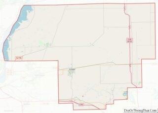
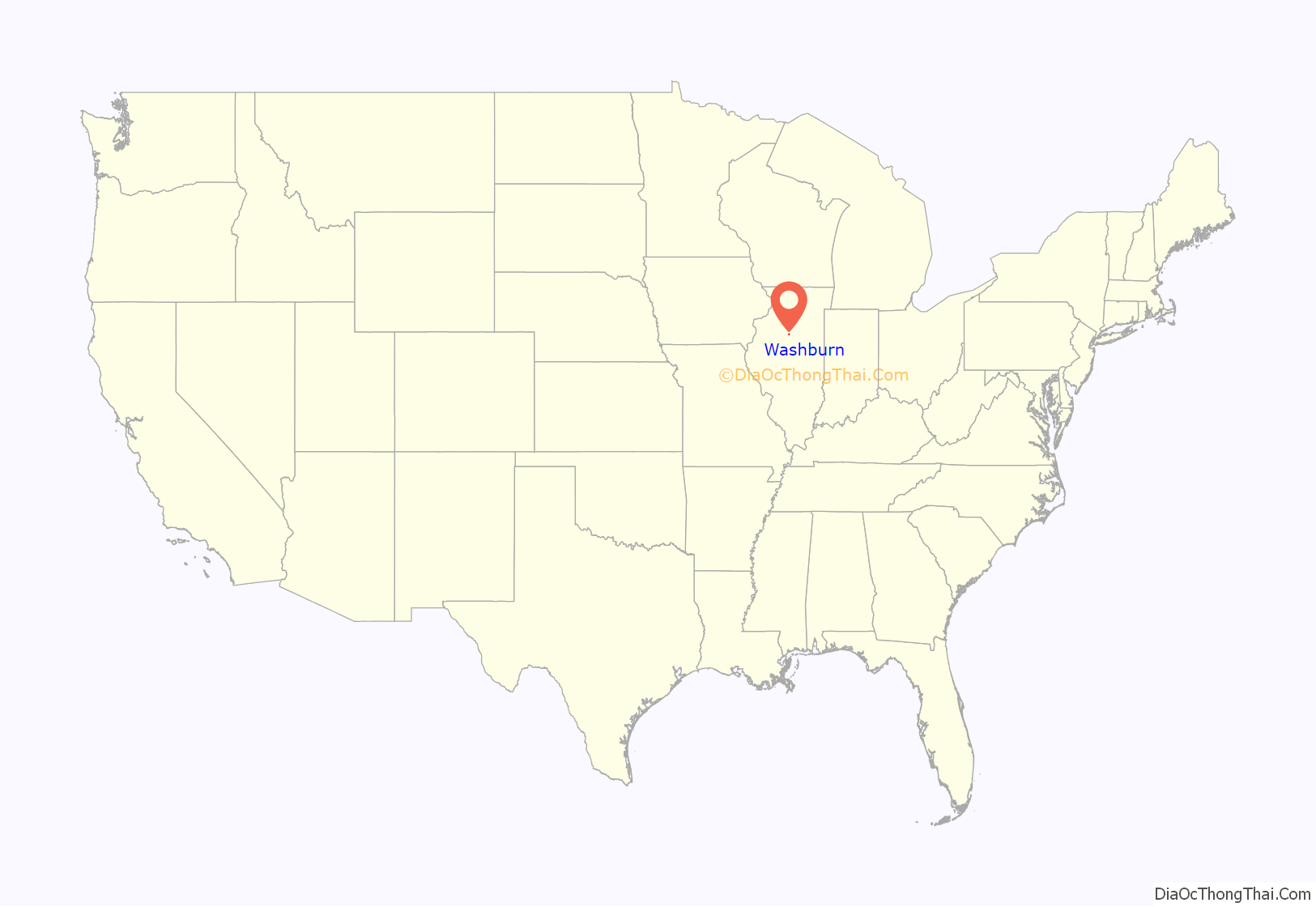
Washburn location map. Where is Washburn village?
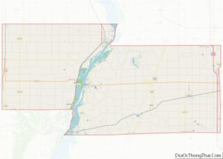
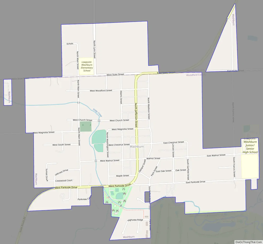
Washburn Road Map
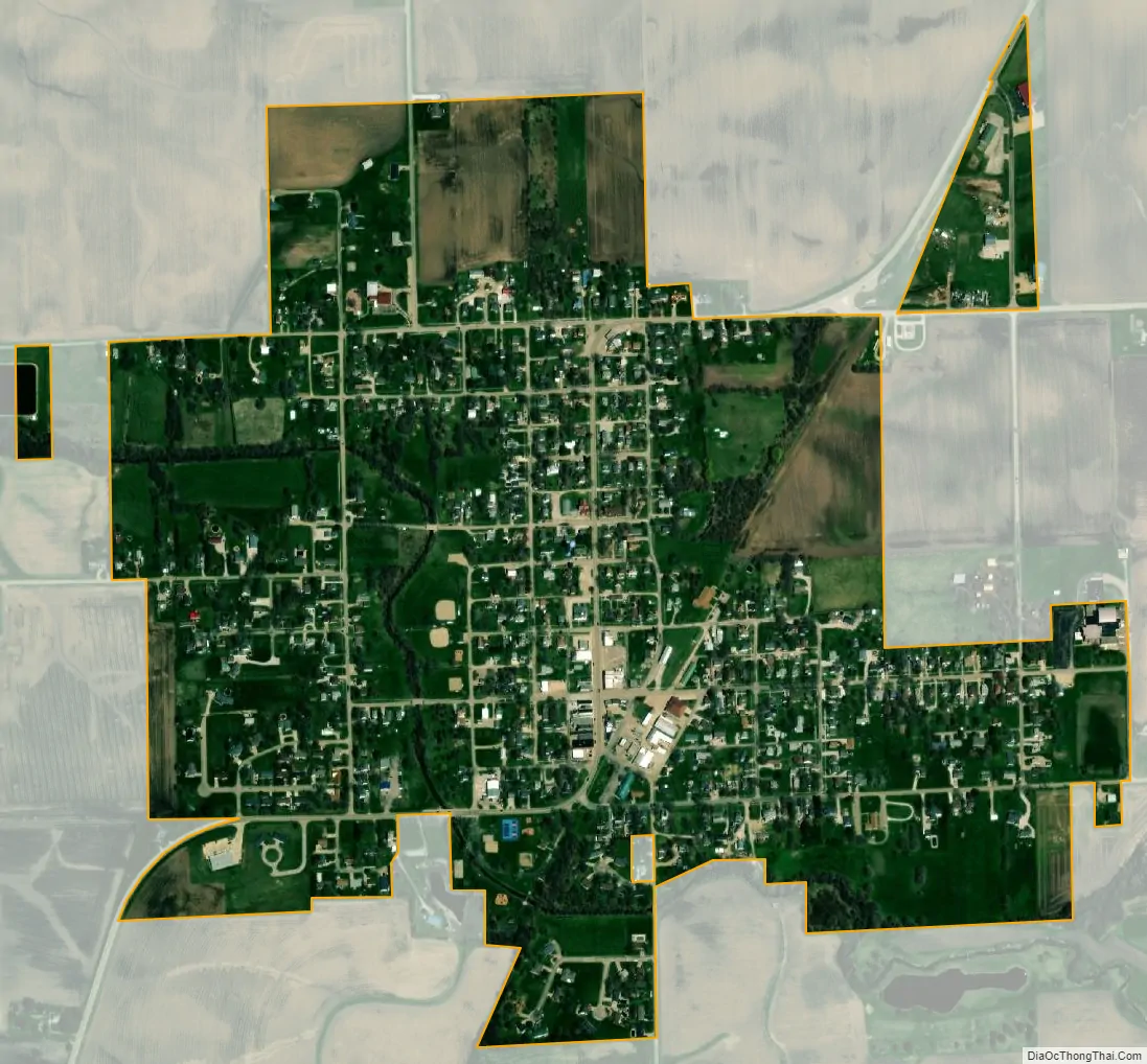
Washburn city Satellite Map
Geography
Washburn is an agricultural community in north-central Illinois. It is located in northern Woodford County at 40°55.2′N 89°17.5′W / 40.9200°N 89.2917°W / 40.9200; -89.2917 (40.9174,-89.2915), with a small portion extending north into Marshall County. Illinois Route 89 forms the main north–south road through Washburn as Jefferson Street; it leads southwest 10 miles (16 km) to Metamora and northeast 9 miles (14 km) to Varna. Downtown Peoria is 25 miles (40 km) to the southwest.
According to the U.S. Census Bureau, Washburn has a total area of 0.72 square miles (1.86 km), all land. Snag Creek flows through the village, running west to the Illinois River near Chillicothe.
See also
Map of Illinois State and its subdivision:- Adams
- Alexander
- Bond
- Boone
- Brown
- Bureau
- Calhoun
- Carroll
- Cass
- Champaign
- Christian
- Clark
- Clay
- Clinton
- Coles
- Cook
- Crawford
- Cumberland
- De Kalb
- De Witt
- Douglas
- Dupage
- Edgar
- Edwards
- Effingham
- Fayette
- Ford
- Franklin
- Fulton
- Gallatin
- Greene
- Grundy
- Hamilton
- Hancock
- Hardin
- Henderson
- Henry
- Iroquois
- Jackson
- Jasper
- Jefferson
- Jersey
- Jo Daviess
- Johnson
- Kane
- Kankakee
- Kendall
- Knox
- La Salle
- Lake
- Lake Michigan
- Lawrence
- Lee
- Livingston
- Logan
- Macon
- Macoupin
- Madison
- Marion
- Marshall
- Mason
- Massac
- McDonough
- McHenry
- McLean
- Menard
- Mercer
- Monroe
- Montgomery
- Morgan
- Moultrie
- Ogle
- Peoria
- Perry
- Piatt
- Pike
- Pope
- Pulaski
- Putnam
- Randolph
- Richland
- Rock Island
- Saint Clair
- Saline
- Sangamon
- Schuyler
- Scott
- Shelby
- Stark
- Stephenson
- Tazewell
- Union
- Vermilion
- Wabash
- Warren
- Washington
- Wayne
- White
- Whiteside
- Will
- Williamson
- Winnebago
- Woodford
- Alabama
- Alaska
- Arizona
- Arkansas
- California
- Colorado
- Connecticut
- Delaware
- District of Columbia
- Florida
- Georgia
- Hawaii
- Idaho
- Illinois
- Indiana
- Iowa
- Kansas
- Kentucky
- Louisiana
- Maine
- Maryland
- Massachusetts
- Michigan
- Minnesota
- Mississippi
- Missouri
- Montana
- Nebraska
- Nevada
- New Hampshire
- New Jersey
- New Mexico
- New York
- North Carolina
- North Dakota
- Ohio
- Oklahoma
- Oregon
- Pennsylvania
- Rhode Island
- South Carolina
- South Dakota
- Tennessee
- Texas
- Utah
- Vermont
- Virginia
- Washington
- West Virginia
- Wisconsin
- Wyoming