Worden is a village in Madison County, Illinois, United States. The population was 1,096 at the 2020 census.
| Name: | Worden village |
|---|---|
| LSAD Code: | 47 |
| LSAD Description: | village (suffix) |
| State: | Illinois |
| County: | Madison County |
| Elevation: | 571 ft (174 m) |
| Total Area: | 0.72 sq mi (1.88 km²) |
| Land Area: | 0.71 sq mi (1.85 km²) |
| Water Area: | 0.01 sq mi (0.03 km²) |
| Total Population: | 1,096 |
| Population Density: | 1,537.17/sq mi (593.26/km²) |
| ZIP code: | 62097 |
| Area code: | 618 |
| FIPS code: | 1783505 |
| GNISfeature ID: | 2399741 |
Online Interactive Map
Click on ![]() to view map in "full screen" mode.
to view map in "full screen" mode.
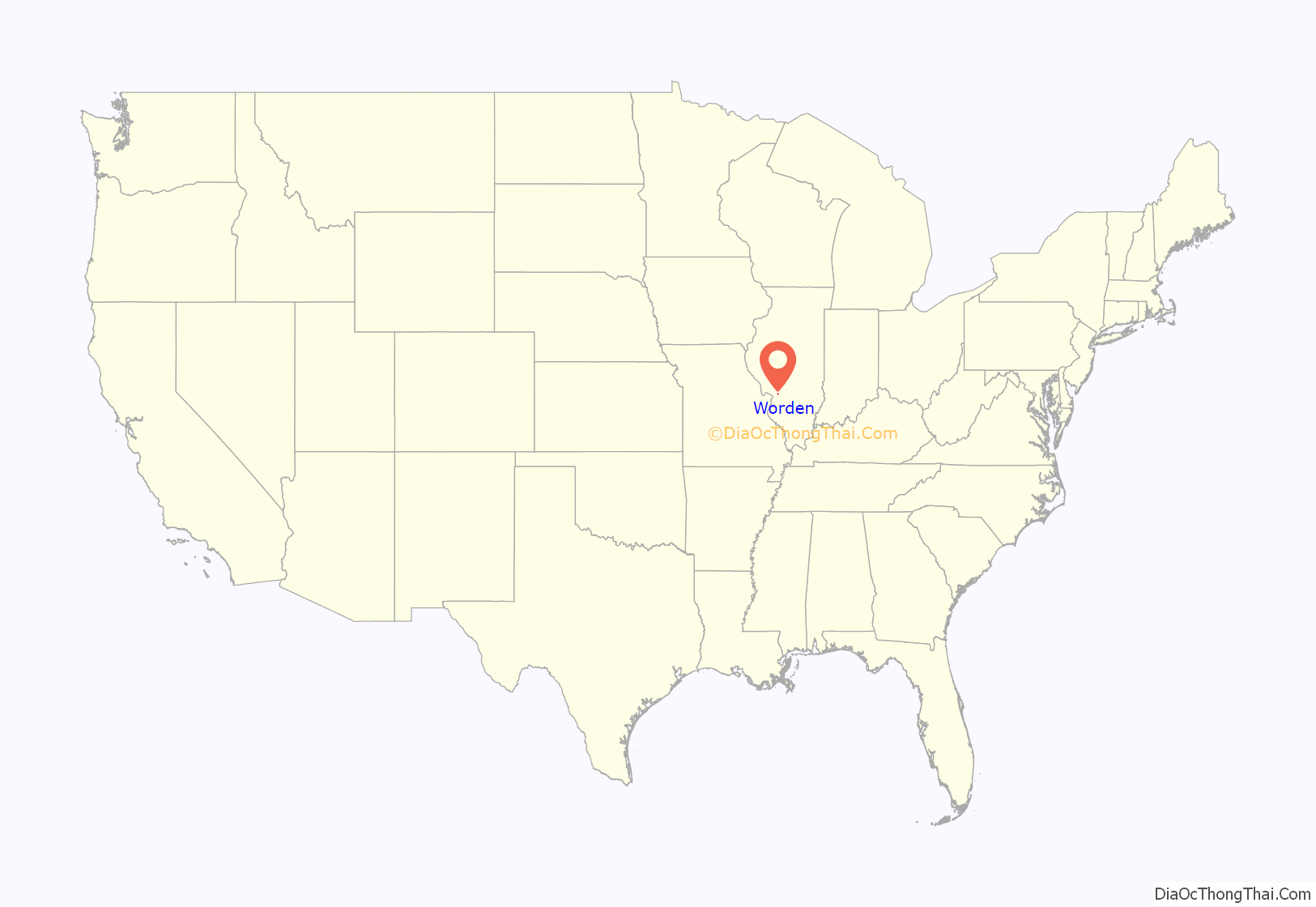
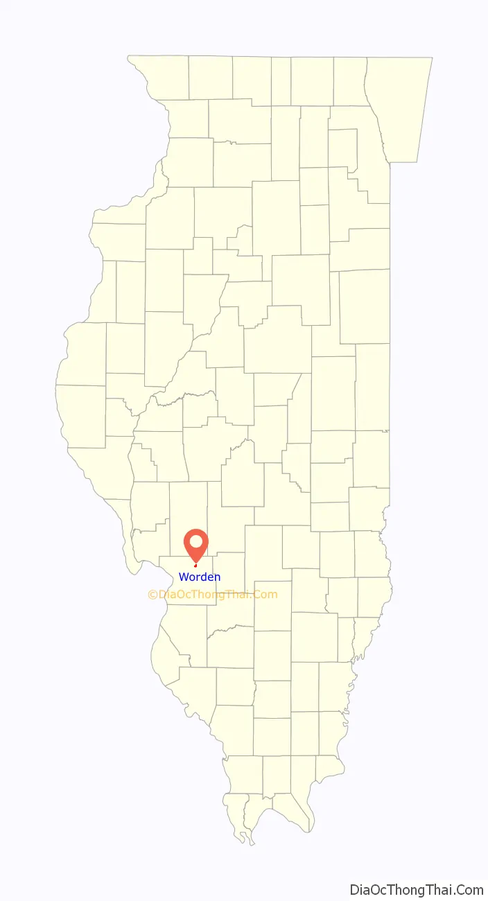
Worden location map. Where is Worden village?
History
Worden was originally called “New Hampton”, and under the latter name was laid out in 1860. When the railroad was built through the settlement in 1870, the name “Worden” was given to the station, after John C. Worden, an English immigrant, businessman, and railroad promoter.
Worden Road Map

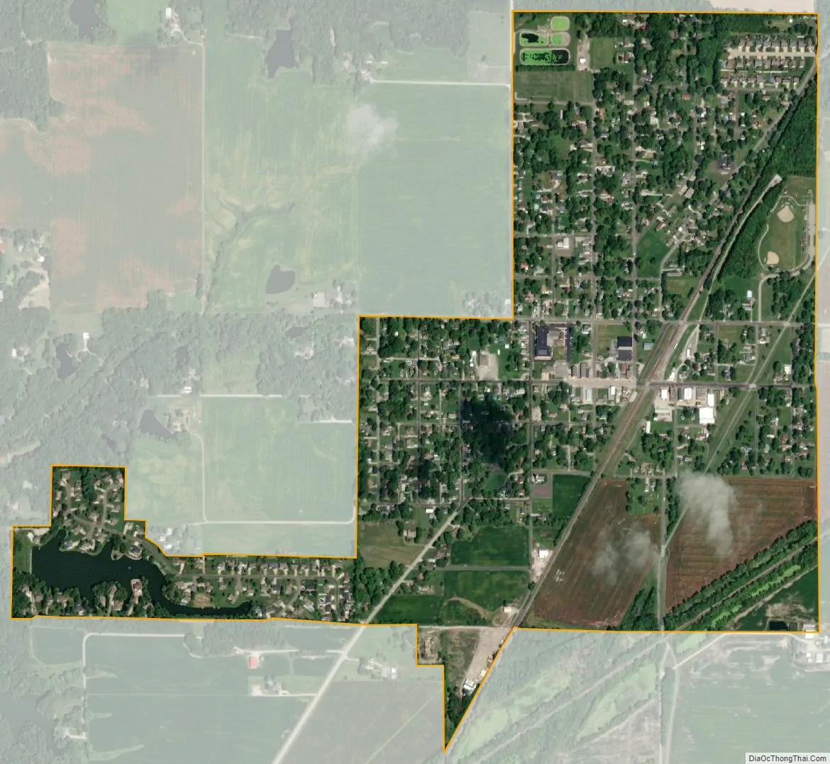
Worden city Satellite Map
Geography
Worden is located in northern Madison County at 38°55′56″N 89°50′25″W / 38.93222°N 89.84028°W / 38.93222; -89.84028 (38.932241, -89.840216). It is 3 miles (5 km) north of Hamel, 20 miles (32 km) east of Alton, and 35 miles (56 km) northeast of St. Louis.
According to the U.S. Census Bureau, Worden has a total area of 0.72 square miles (1.86 km), of which 0.01 square miles (0.03 km), or 1.66%, are water. The village drains west to tributaries of Cahokia Creek, a west-flowing direct tributary of the Mississippi River.
See also
Map of Illinois State and its subdivision:- Adams
- Alexander
- Bond
- Boone
- Brown
- Bureau
- Calhoun
- Carroll
- Cass
- Champaign
- Christian
- Clark
- Clay
- Clinton
- Coles
- Cook
- Crawford
- Cumberland
- De Kalb
- De Witt
- Douglas
- Dupage
- Edgar
- Edwards
- Effingham
- Fayette
- Ford
- Franklin
- Fulton
- Gallatin
- Greene
- Grundy
- Hamilton
- Hancock
- Hardin
- Henderson
- Henry
- Iroquois
- Jackson
- Jasper
- Jefferson
- Jersey
- Jo Daviess
- Johnson
- Kane
- Kankakee
- Kendall
- Knox
- La Salle
- Lake
- Lake Michigan
- Lawrence
- Lee
- Livingston
- Logan
- Macon
- Macoupin
- Madison
- Marion
- Marshall
- Mason
- Massac
- McDonough
- McHenry
- McLean
- Menard
- Mercer
- Monroe
- Montgomery
- Morgan
- Moultrie
- Ogle
- Peoria
- Perry
- Piatt
- Pike
- Pope
- Pulaski
- Putnam
- Randolph
- Richland
- Rock Island
- Saint Clair
- Saline
- Sangamon
- Schuyler
- Scott
- Shelby
- Stark
- Stephenson
- Tazewell
- Union
- Vermilion
- Wabash
- Warren
- Washington
- Wayne
- White
- Whiteside
- Will
- Williamson
- Winnebago
- Woodford
- Alabama
- Alaska
- Arizona
- Arkansas
- California
- Colorado
- Connecticut
- Delaware
- District of Columbia
- Florida
- Georgia
- Hawaii
- Idaho
- Illinois
- Indiana
- Iowa
- Kansas
- Kentucky
- Louisiana
- Maine
- Maryland
- Massachusetts
- Michigan
- Minnesota
- Mississippi
- Missouri
- Montana
- Nebraska
- Nevada
- New Hampshire
- New Jersey
- New Mexico
- New York
- North Carolina
- North Dakota
- Ohio
- Oklahoma
- Oregon
- Pennsylvania
- Rhode Island
- South Carolina
- South Dakota
- Tennessee
- Texas
- Utah
- Vermont
- Virginia
- Washington
- West Virginia
- Wisconsin
- Wyoming


