Nortonville is a home rule-class city in Hopkins County, Kentucky, in the United States. The population was 1,204 as of the 2010 census.
| Name: | Nortonville city |
|---|---|
| LSAD Code: | 25 |
| LSAD Description: | city (suffix) |
| State: | Kentucky |
| County: | Hopkins County |
| Incorporated: | 1873 |
| Elevation: | 404 ft (123 m) |
| Total Area: | 1.19 sq mi (3.09 km²) |
| Land Area: | 1.16 sq mi (3.00 km²) |
| Water Area: | 0.03 sq mi (0.09 km²) |
| Total Population: | 977 |
| Population Density: | 842.97/sq mi (325.54/km²) |
| ZIP code: | 42442 |
| Area code: | 270 & 364 |
| FIPS code: | 2156910 |
| GNISfeature ID: | 0499617 |
| Website: | www.nortonvilleky.us |
Online Interactive Map
Click on ![]() to view map in "full screen" mode.
to view map in "full screen" mode.
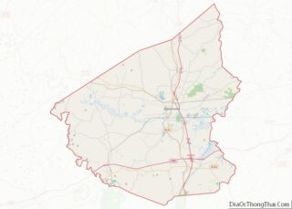
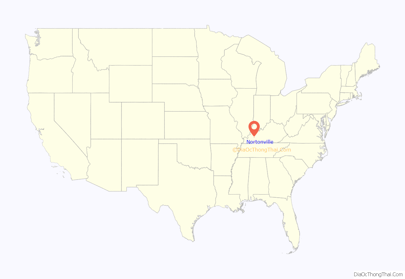
Nortonville location map. Where is Nortonville city?
History
Nortonville owes its existence to the railroad industry and is named for Eckstein Norton, a Kentucky-born investment banker who started as a clerk in a country store in Russellville, Kentucky, in 1846. Norton participated in the creation of the Elizabethtown and Paducah Railroad in the late 1860s (east-west tracks). He then purchased 2,000 acres (8.1 km) of land in what would become “Norton Village”, later changed to “Nortonville” around 1900. Norton became a shipping agent for the Illinois Central Railroad, which eventually acquired the Elizabethtown & Paducah Railroad. The north-south railroad, named the Evansville, Henderson and Nashville, was completed through Nortonville in 1872. It was purchased in a foreclosure sale in 1879 by the Louisville and Nashville Railroad. Norton became president of the L&N Railroad on October 6, 1886. By 1886, Nortonville was one of only nine towns in the L&N system to have a steam hoist to unload and transfer freight. By then, the city was concentrated around a junction of the IC and L&N Railroads. Nortonville saw growth after 1902, when investors purchased land from the Norton heirs and opened a shaft coal mine as the Nortonville Coal Company. They also operated an electric power plant.
Nortonville implemented its first water system in 1936 and paved its streets in 1956. A centralized sewage treatment system was built in the late 1970s, opening an opportunity for continued growth. The Nortonville City Hall occupies the well-maintained 1930s high school building, which was built by the WPA.
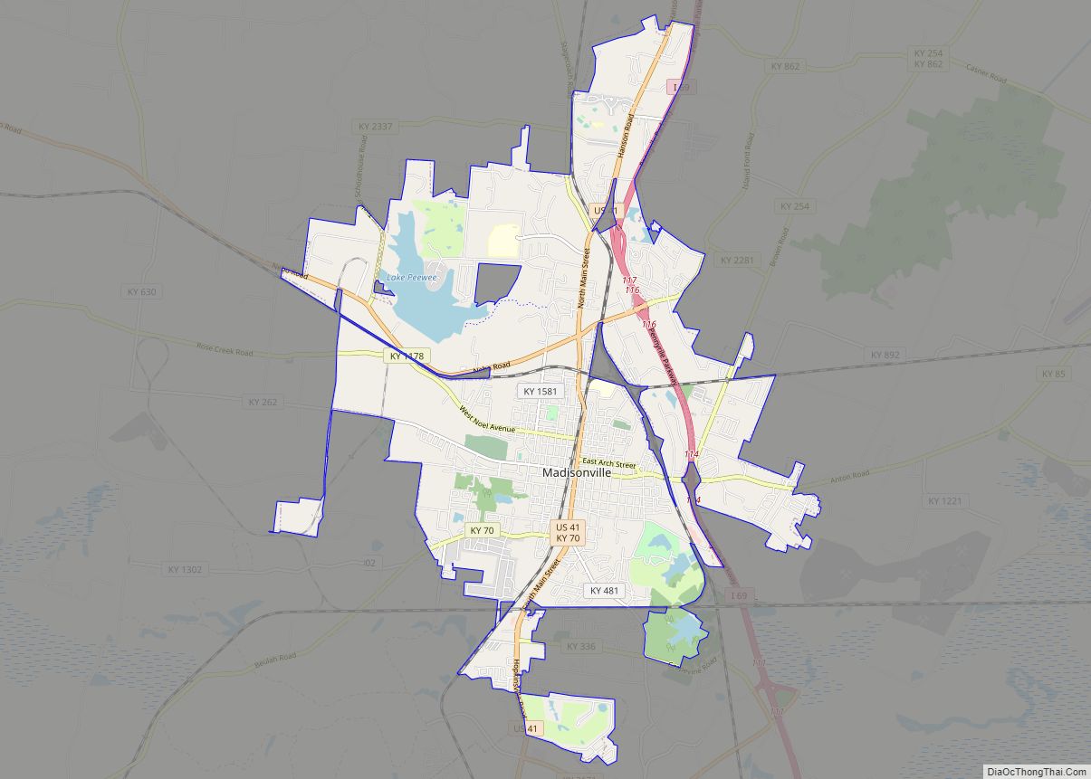
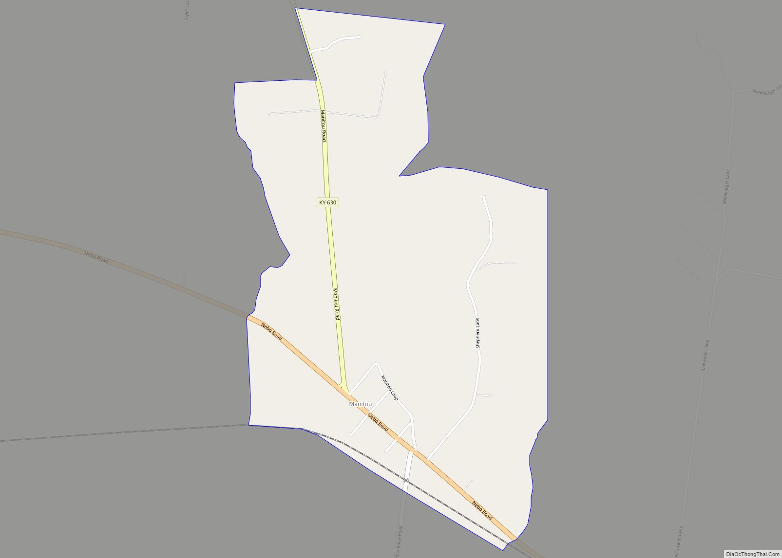
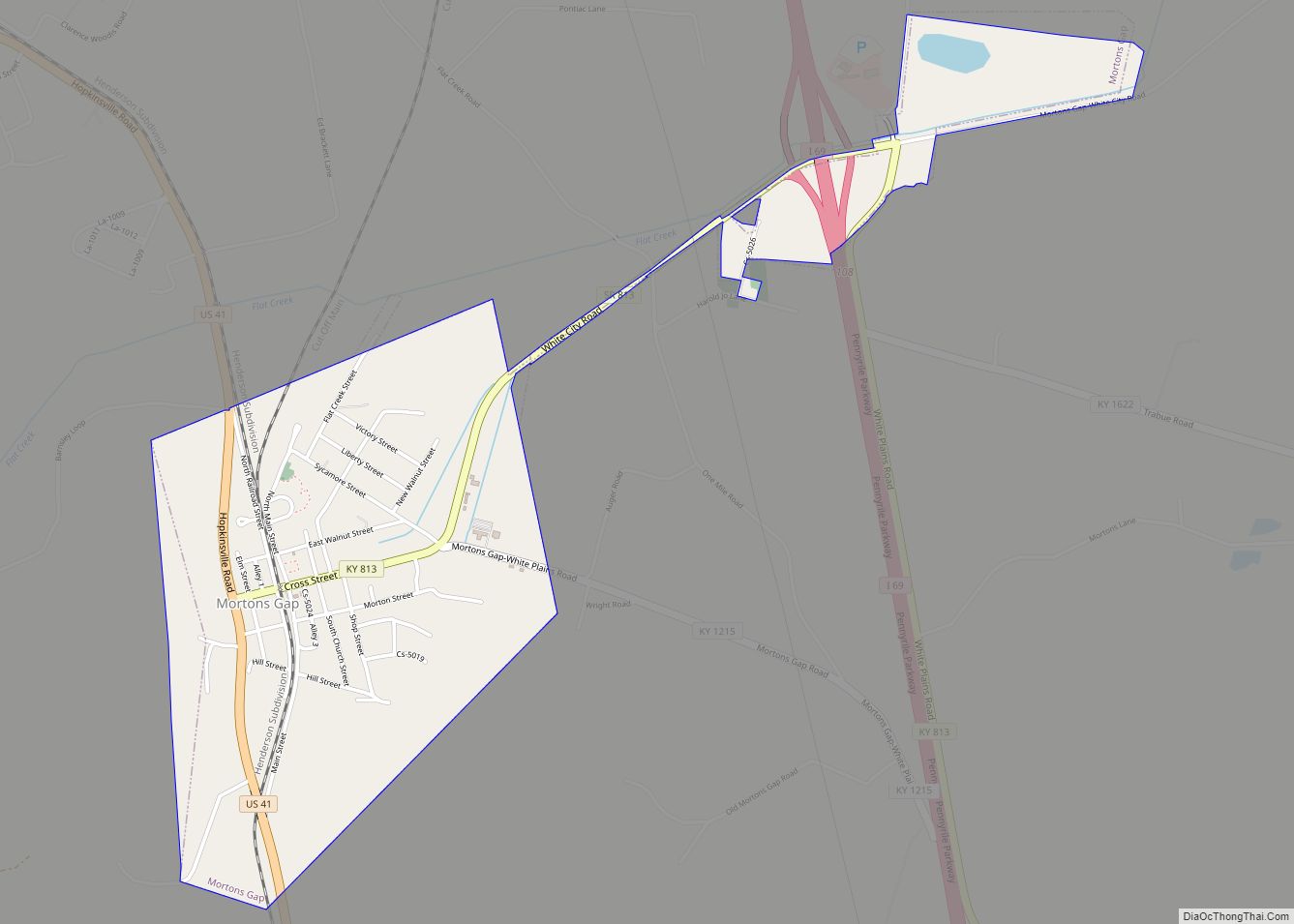
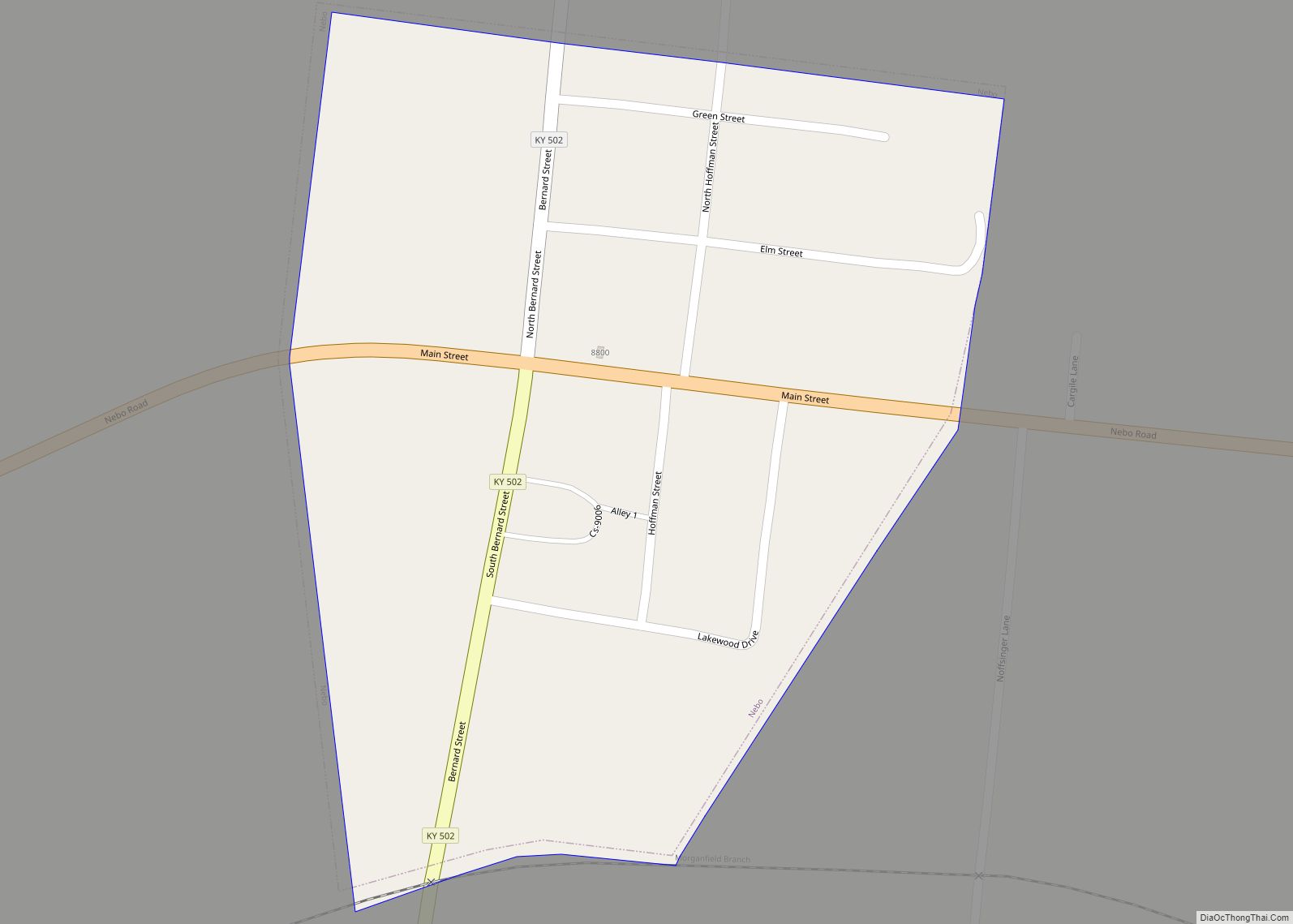
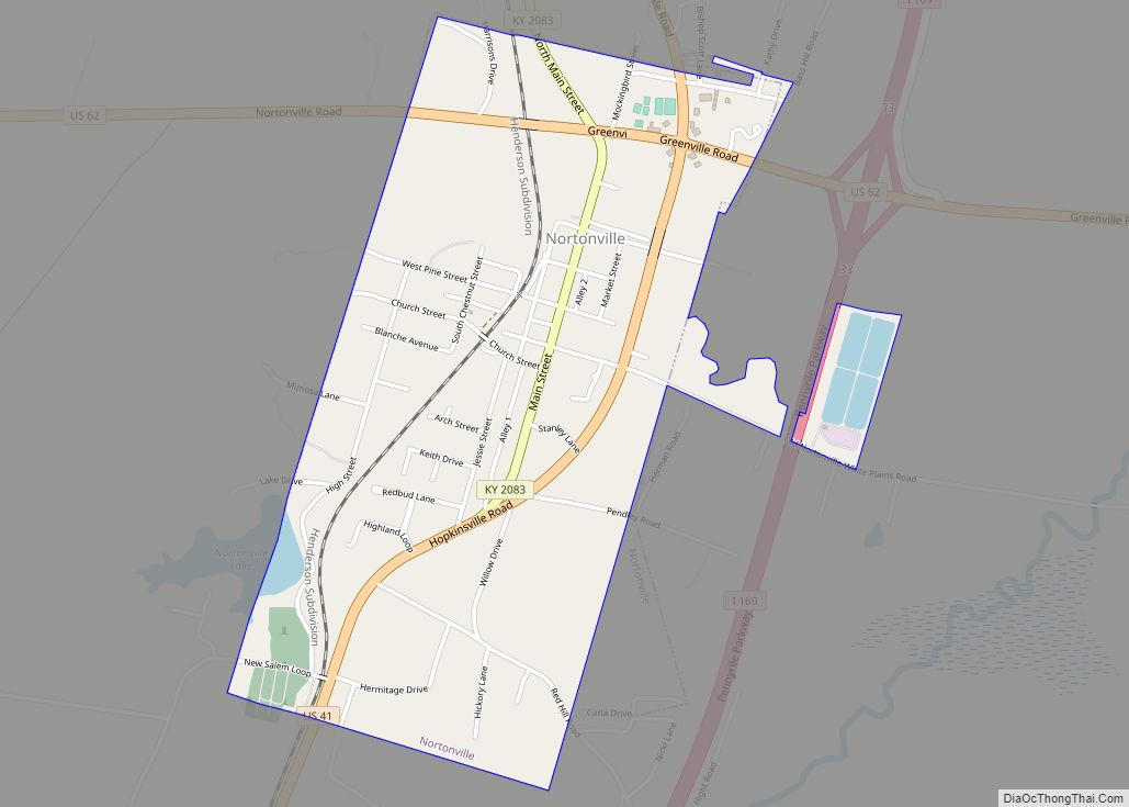
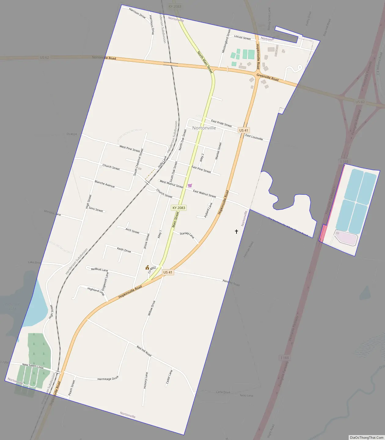
Nortonville Road Map
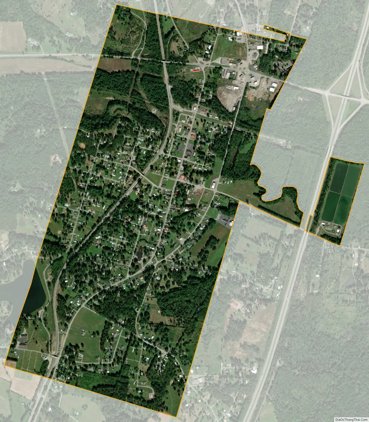
Nortonville city Satellite Map
Geography
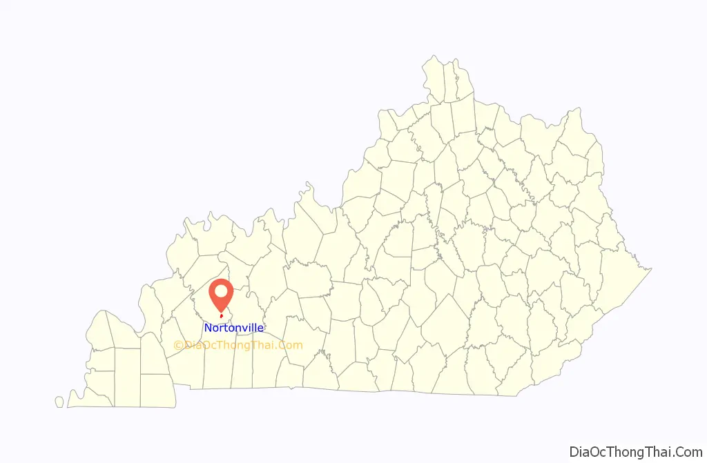
Nortonville is located in southeastern Hopkins County at 37°11′16″N 87°27′22″W / 37.18778°N 87.45611°W / 37.18778; -87.45611 (37.187660, -87.456032). U.S. Route 41 passes through the eastern and southern parts of the city, leading north 11 miles (18 km) to Madisonville, the county seat, and south 24 miles (39 km) to Hopkinsville. U.S. Route 62 passes through the northern part of Nortonville, leading east 18 miles (29 km) to Greenville and west 14 miles (23 km) to Dawson Springs.
The Western Kentucky Parkway and Pennyrile Parkway intersect 2 miles (3 km) northeast of Nortonville. Interstate 69 follows the Western Kentucky Parkway west from the interchange towards Eddyville and the Pennyrile Parkway north towards Henderson. Paducah is 72 miles (116 km) to the west, Evansville, Indiana, is 55 miles (89 km) to the north, Elizabethtown is 100 miles (160 km) to the east, and Clarksville, Tennessee, is 55 miles (89 km) south of the highway junction.
According to the United States Census Bureau, Nortonville has a total area of 1.1 square miles (2.9 km), of which 0.012 square miles (0.03 km), or 1.02%, are water.
See also
Map of Kentucky State and its subdivision:- Adair
- Allen
- Anderson
- Ballard
- Barren
- Bath
- Bell
- Boone
- Bourbon
- Boyd
- Boyle
- Bracken
- Breathitt
- Breckinridge
- Bullitt
- Butler
- Caldwell
- Calloway
- Campbell
- Carlisle
- Carroll
- Carter
- Casey
- Christian
- Clark
- Clay
- Clinton
- Crittenden
- Cumberland
- Daviess
- Edmonson
- Elliott
- Estill
- Fayette
- Fleming
- Floyd
- Franklin
- Fulton
- Gallatin
- Garrard
- Grant
- Graves
- Grayson
- Green
- Greenup
- Hancock
- Hardin
- Harlan
- Harrison
- Hart
- Henderson
- Henry
- Hickman
- Hopkins
- Jackson
- Jefferson
- Jessamine
- Johnson
- Kenton
- Knott
- Knox
- Larue
- Laurel
- Lawrence
- Lee
- Leslie
- Letcher
- Lewis
- Lincoln
- Livingston
- Logan
- Lyon
- Madison
- Magoffin
- Marion
- Marshall
- Martin
- Mason
- McCracken
- McCreary
- McLean
- Meade
- Menifee
- Mercer
- Metcalfe
- Monroe
- Montgomery
- Morgan
- Muhlenberg
- Nelson
- Nicholas
- Ohio
- Oldham
- Owen
- Owsley
- Pendleton
- Perry
- Pike
- Powell
- Pulaski
- Robertson
- Rockcastle
- Rowan
- Russell
- Scott
- Shelby
- Simpson
- Spencer
- Taylor
- Todd
- Trigg
- Trimble
- Union
- Warren
- Washington
- Wayne
- Webster
- Whitley
- Wolfe
- Woodford
- Alabama
- Alaska
- Arizona
- Arkansas
- California
- Colorado
- Connecticut
- Delaware
- District of Columbia
- Florida
- Georgia
- Hawaii
- Idaho
- Illinois
- Indiana
- Iowa
- Kansas
- Kentucky
- Louisiana
- Maine
- Maryland
- Massachusetts
- Michigan
- Minnesota
- Mississippi
- Missouri
- Montana
- Nebraska
- Nevada
- New Hampshire
- New Jersey
- New Mexico
- New York
- North Carolina
- North Dakota
- Ohio
- Oklahoma
- Oregon
- Pennsylvania
- Rhode Island
- South Carolina
- South Dakota
- Tennessee
- Texas
- Utah
- Vermont
- Virginia
- Washington
- West Virginia
- Wisconsin
- Wyoming