Amasa is an unincorporated community and census-designated place (CDP) in southern Hematite Township, Iron County, Michigan, in the United States. As of the 2010 census it had a population of 283.
| Name: | Amasa CDP |
|---|---|
| LSAD Code: | 57 |
| LSAD Description: | CDP (suffix) |
| State: | Michigan |
| County: | Iron County |
| Elevation: | 1,441 ft (439 m) |
| Total Area: | 4.04 sq mi (10.47 km²) |
| Land Area: | 4.04 sq mi (10.45 km²) |
| Water Area: | 0.01 sq mi (0.02 km²) |
| Total Population: | 195 |
| Population Density: | 48.32/sq mi (18.66/km²) |
| ZIP code: | 49903 |
| Area code: | 906 |
| FIPS code: | 2601960 |
| GNISfeature ID: | 0620044 |
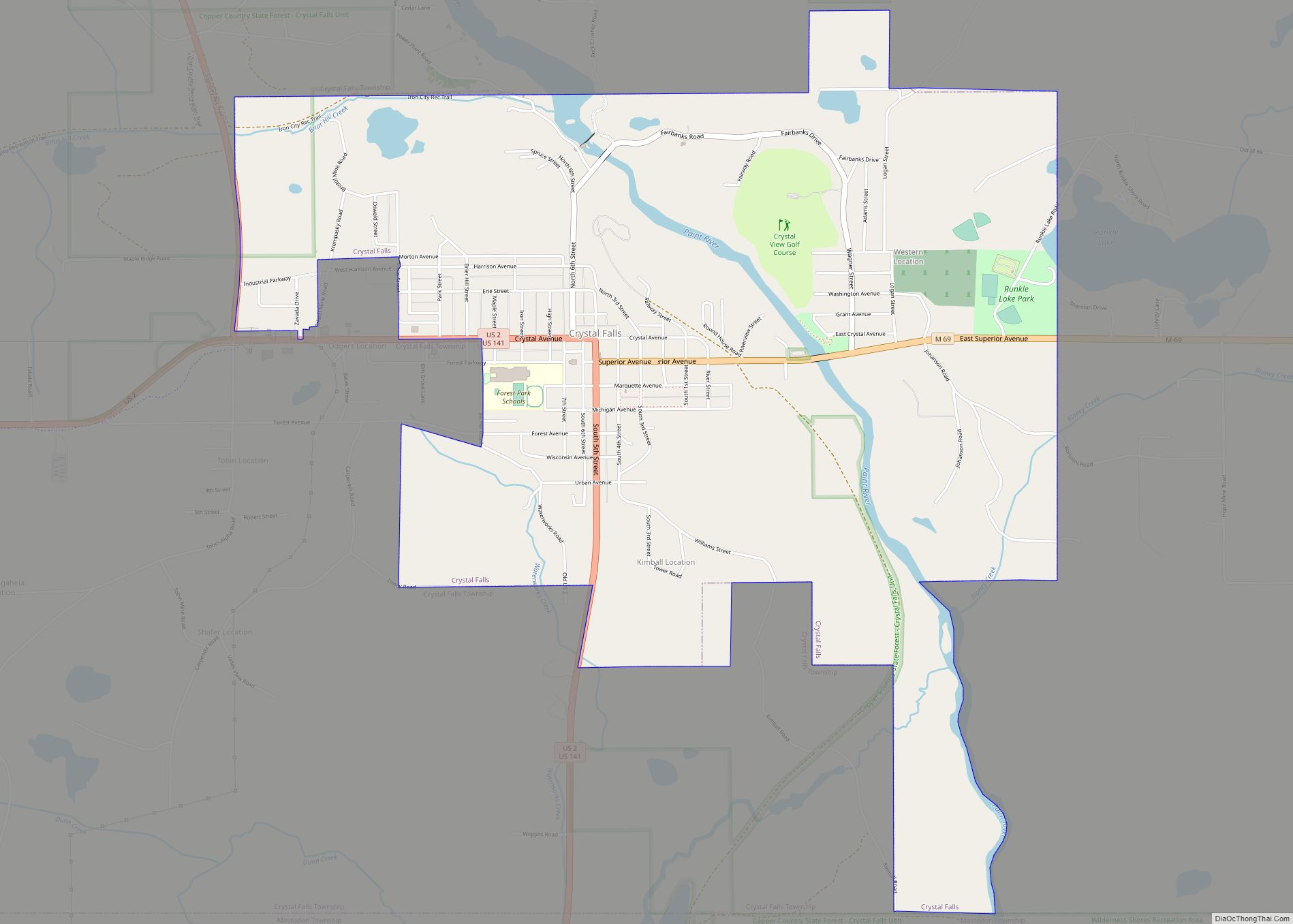
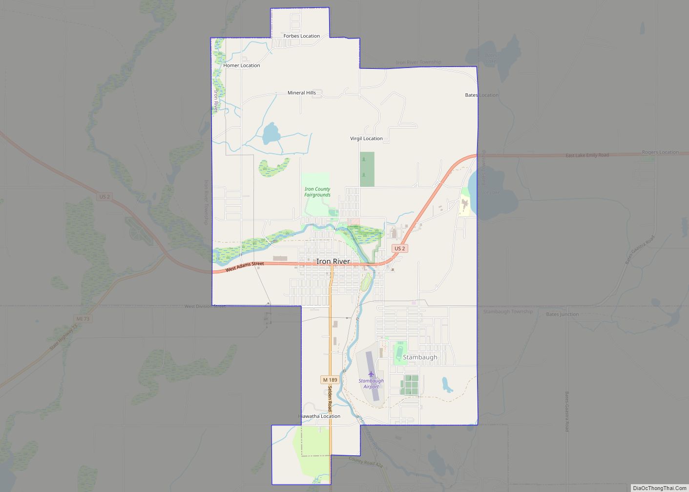
Online Interactive Map
Click on ![]() to view map in "full screen" mode.
to view map in "full screen" mode.
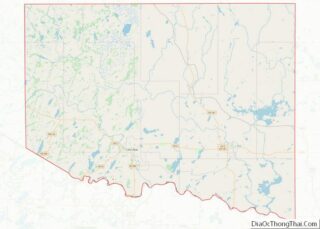
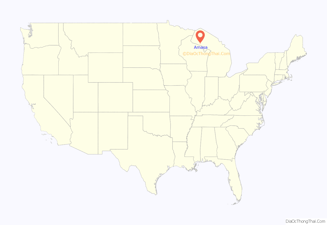
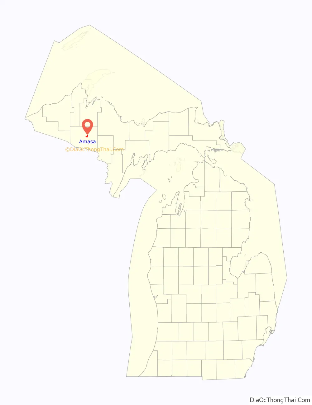
Amasa location map. Where is Amasa CDP?
History
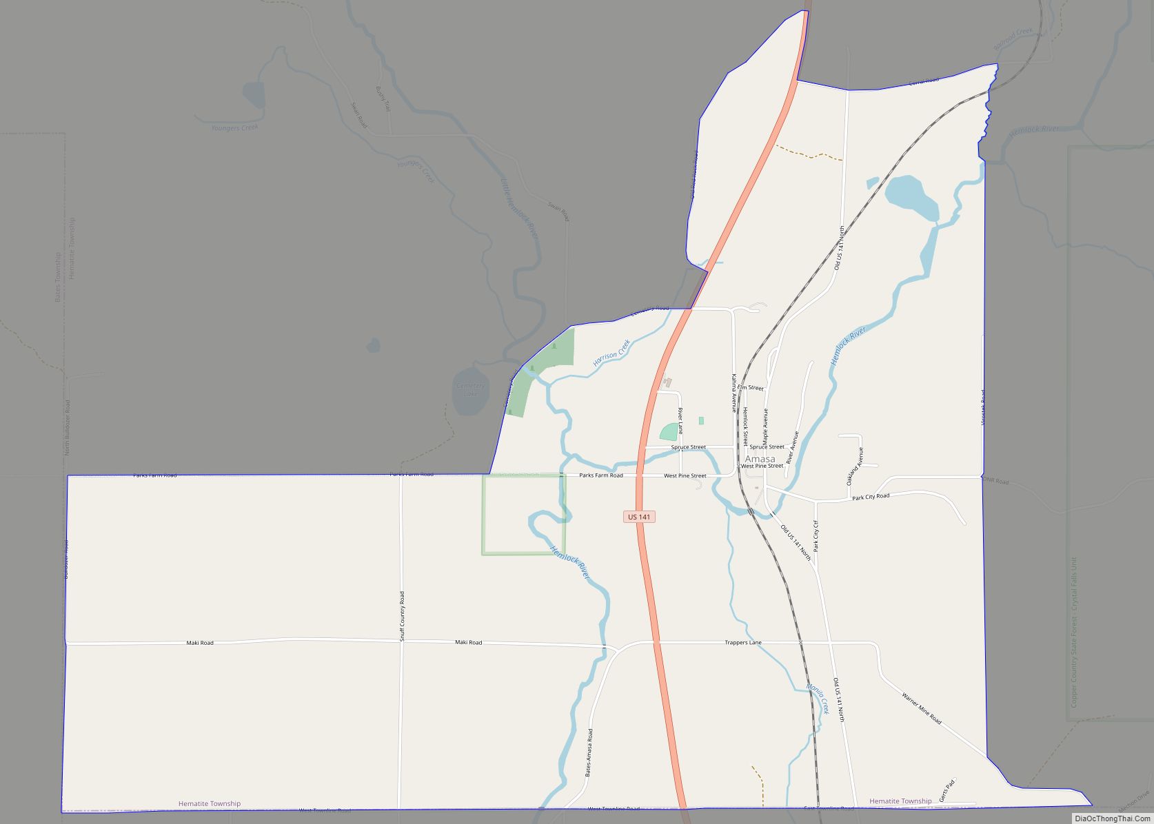
Amasa was named for Amasa Stone of Cleveland, Ohio. It was formed by mostly Finnish settlers, and was primarily a mining town. It was originally named “Hemlock,” but was renamed to Amasa in 1892. The community has a general store called Tall Pines, a museum, and a restaurant called the Rusty Sawblade.
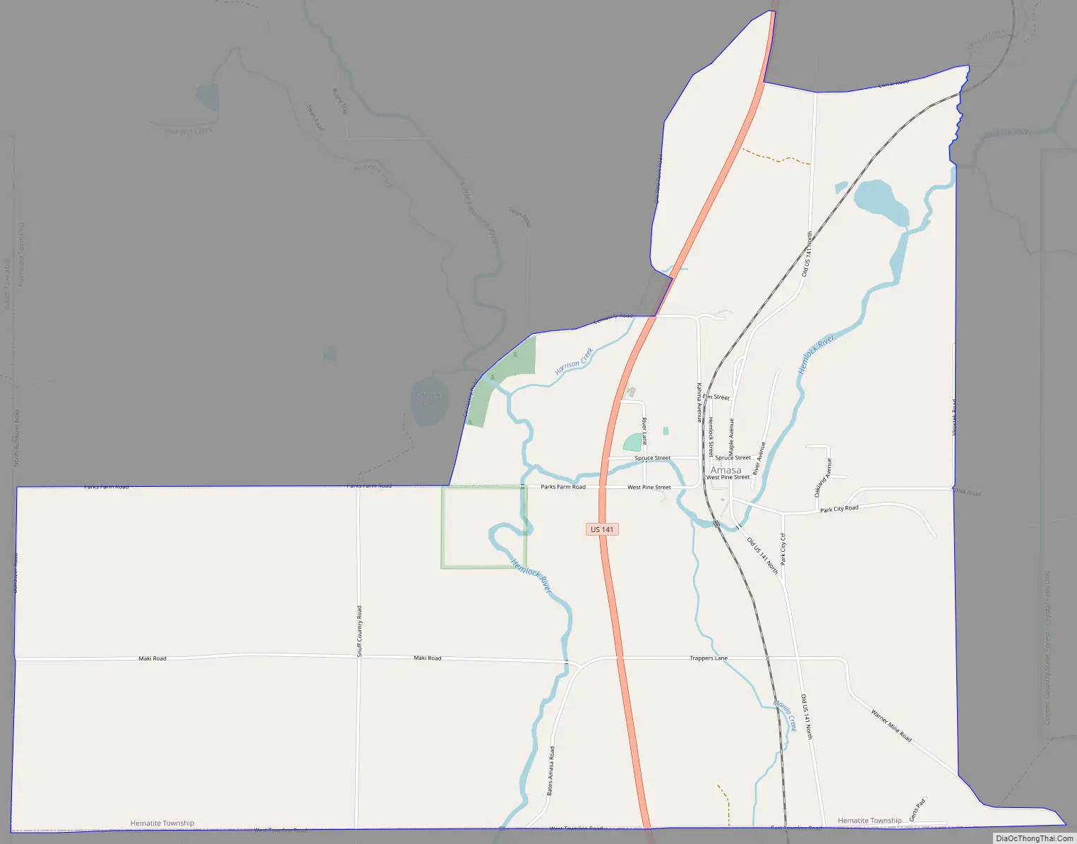
Amasa Road Map
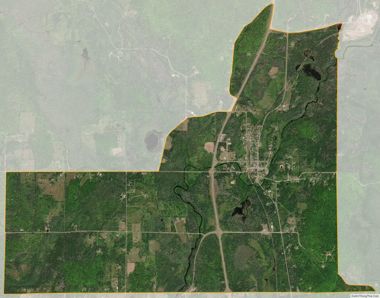
Amasa city Satellite Map
Geography
U.S. Highway 141 passes through the forested town, leading north 23 miles (37 km) to Covington and south 12 miles (19 km) to Crystal Falls, the Iron County seat.
According to the U.S. Census Bureau, the CDP has a total area of 4.1 square miles (10.5 km), of which 0.01 square miles (0.02 km), or 0.15%, are water. The Hemlock River, a tributary of the Paint River and part of the Menominee River watershed flowing to Lake Michigan, flows from northeast to southwest through Amasa.
See also
Map of Michigan State and its subdivision:- Alcona
- Alger
- Allegan
- Alpena
- Antrim
- Arenac
- Baraga
- Barry
- Bay
- Benzie
- Berrien
- Branch
- Calhoun
- Cass
- Charlevoix
- Cheboygan
- Chippewa
- Clare
- Clinton
- Crawford
- Delta
- Dickinson
- Eaton
- Emmet
- Genesee
- Gladwin
- Gogebic
- Grand Traverse
- Gratiot
- Hillsdale
- Houghton
- Huron
- Ingham
- Ionia
- Iosco
- Iron
- Isabella
- Jackson
- Kalamazoo
- Kalkaska
- Kent
- Keweenaw
- Lake
- Lake Hurron
- Lake Michigan
- Lake St. Clair
- Lake Superior
- Lapeer
- Leelanau
- Lenawee
- Livingston
- Luce
- Mackinac
- Macomb
- Manistee
- Marquette
- Mason
- Mecosta
- Menominee
- Midland
- Missaukee
- Monroe
- Montcalm
- Montmorency
- Muskegon
- Newaygo
- Oakland
- Oceana
- Ogemaw
- Ontonagon
- Osceola
- Oscoda
- Otsego
- Ottawa
- Presque Isle
- Roscommon
- Saginaw
- Saint Clair
- Saint Joseph
- Sanilac
- Schoolcraft
- Shiawassee
- Tuscola
- Van Buren
- Washtenaw
- Wayne
- Wexford
- Alabama
- Alaska
- Arizona
- Arkansas
- California
- Colorado
- Connecticut
- Delaware
- District of Columbia
- Florida
- Georgia
- Hawaii
- Idaho
- Illinois
- Indiana
- Iowa
- Kansas
- Kentucky
- Louisiana
- Maine
- Maryland
- Massachusetts
- Michigan
- Minnesota
- Mississippi
- Missouri
- Montana
- Nebraska
- Nevada
- New Hampshire
- New Jersey
- New Mexico
- New York
- North Carolina
- North Dakota
- Ohio
- Oklahoma
- Oregon
- Pennsylvania
- Rhode Island
- South Carolina
- South Dakota
- Tennessee
- Texas
- Utah
- Vermont
- Virginia
- Washington
- West Virginia
- Wisconsin
- Wyoming