Argentine is an unincorporated community and census-designated place (CDP) in Argentine Township, Genesee County, in the U.S. state of Michigan. The population was 2,685 as of the 2020 census, up from 2,525 at the 2010 census. It was first settled in 1836.
The area included in the CDP is the southeast corner of Argentine Township. The city of Linden is to the east, and the Linden ZIP code 48451 also serves Argentine.
| Name: | Argentine CDP |
|---|---|
| LSAD Code: | 57 |
| LSAD Description: | CDP (suffix) |
| State: | Michigan |
| County: | Genesee County |
| Elevation: | 873 ft (266 m) |
| Total Area: | 3.28 sq mi (8.49 km²) |
| Land Area: | 2.37 sq mi (6.13 km²) |
| Water Area: | 0.91 sq mi (2.35 km²) 27.73% |
| Total Population: | 2,685 |
| Population Density: | 1,133.87/sq mi (437.80/km²) |
| Area code: | 810 |
| FIPS code: | 2603400 |
| GNISfeature ID: | 2393318 |
Online Interactive Map
Click on ![]() to view map in "full screen" mode.
to view map in "full screen" mode.
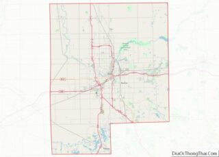
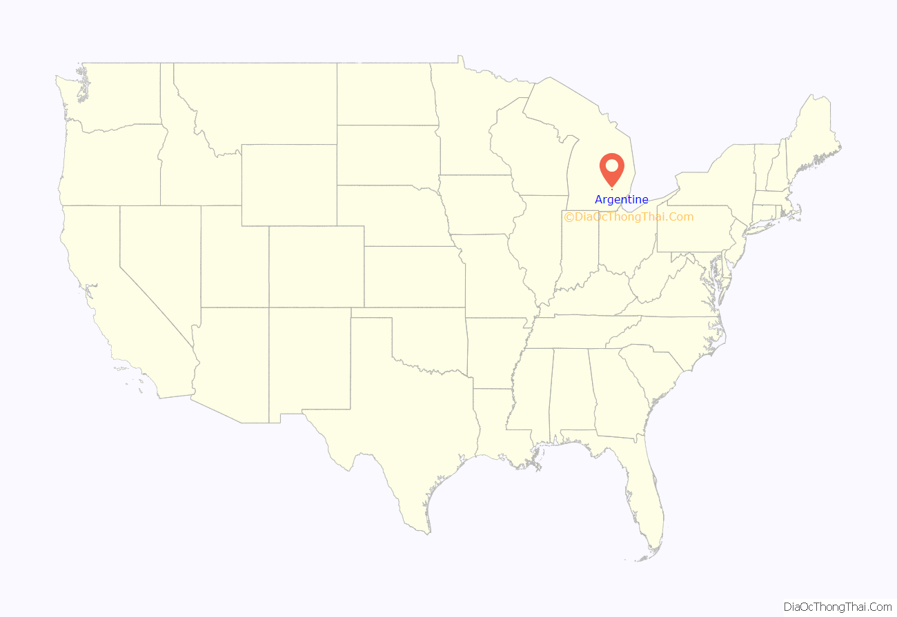
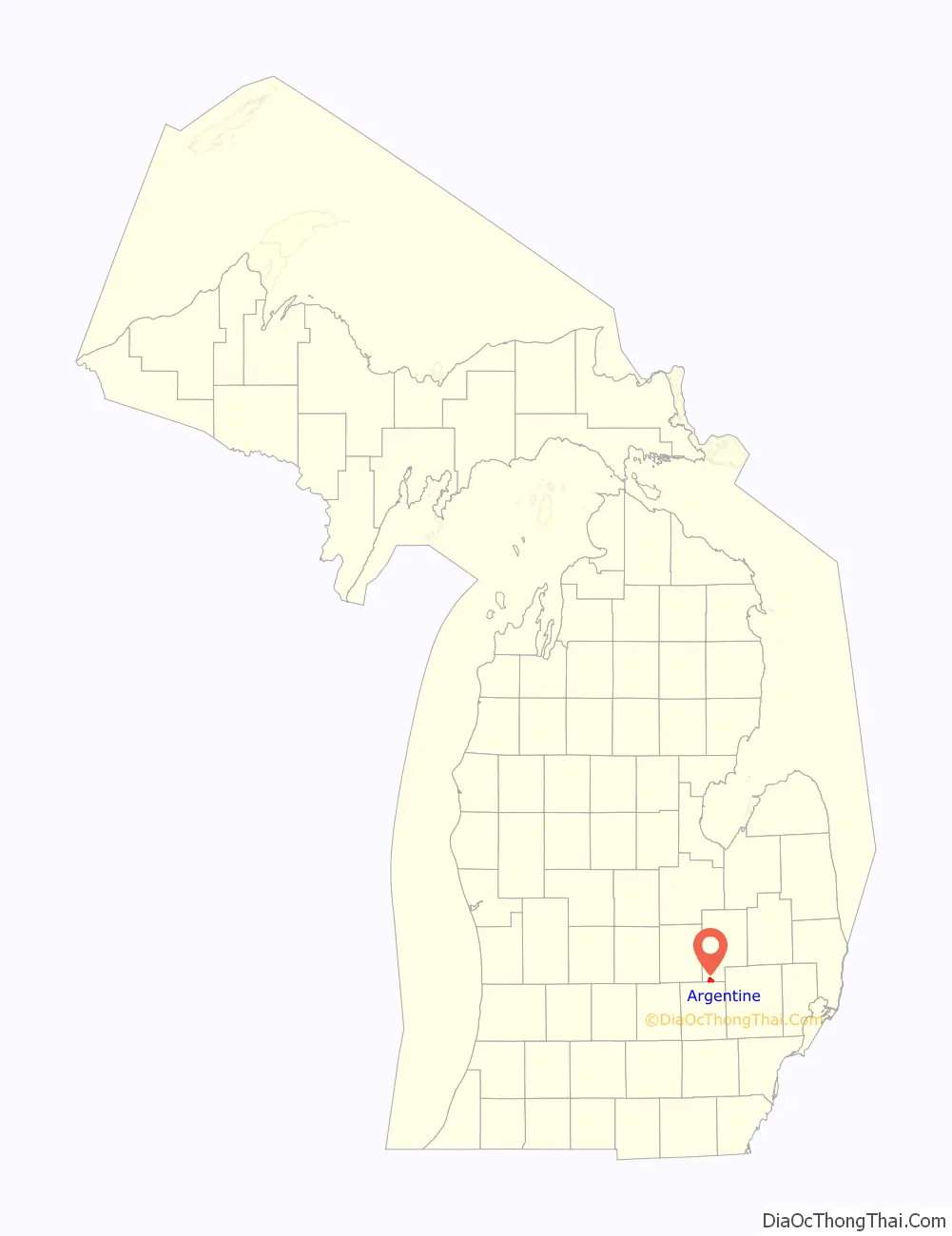
Argentine location map. Where is Argentine CDP?
History
The first settlers, Jame H. Murray and William Lobdell, arrived in 1836. A post office, “Booton”, was opened on November 1, 1837, with Murray as the first postmaster. The post office was renamed “Argentine” on March 30, 1942, due to a similarly named post office. The community was platted by Dr. Isaac Wixom in 1844.
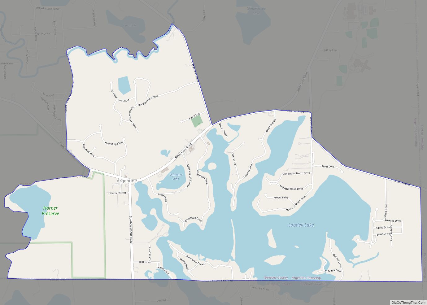
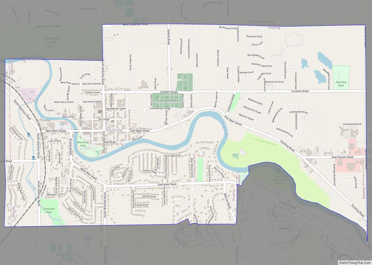
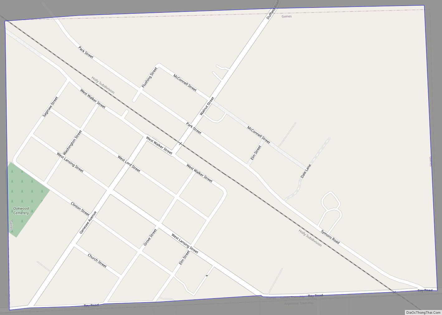
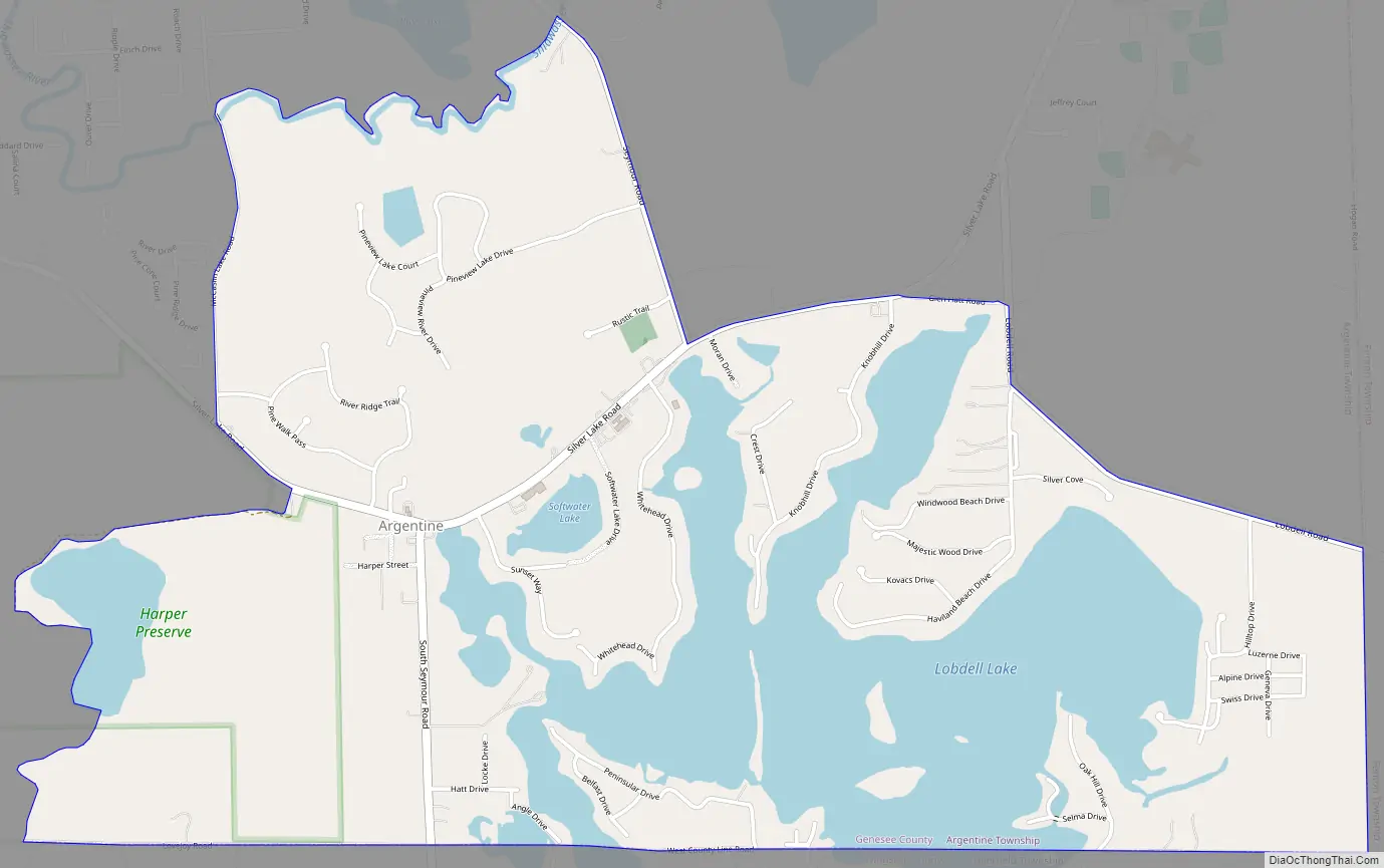
Argentine Road Map
Argentine city Satellite Map
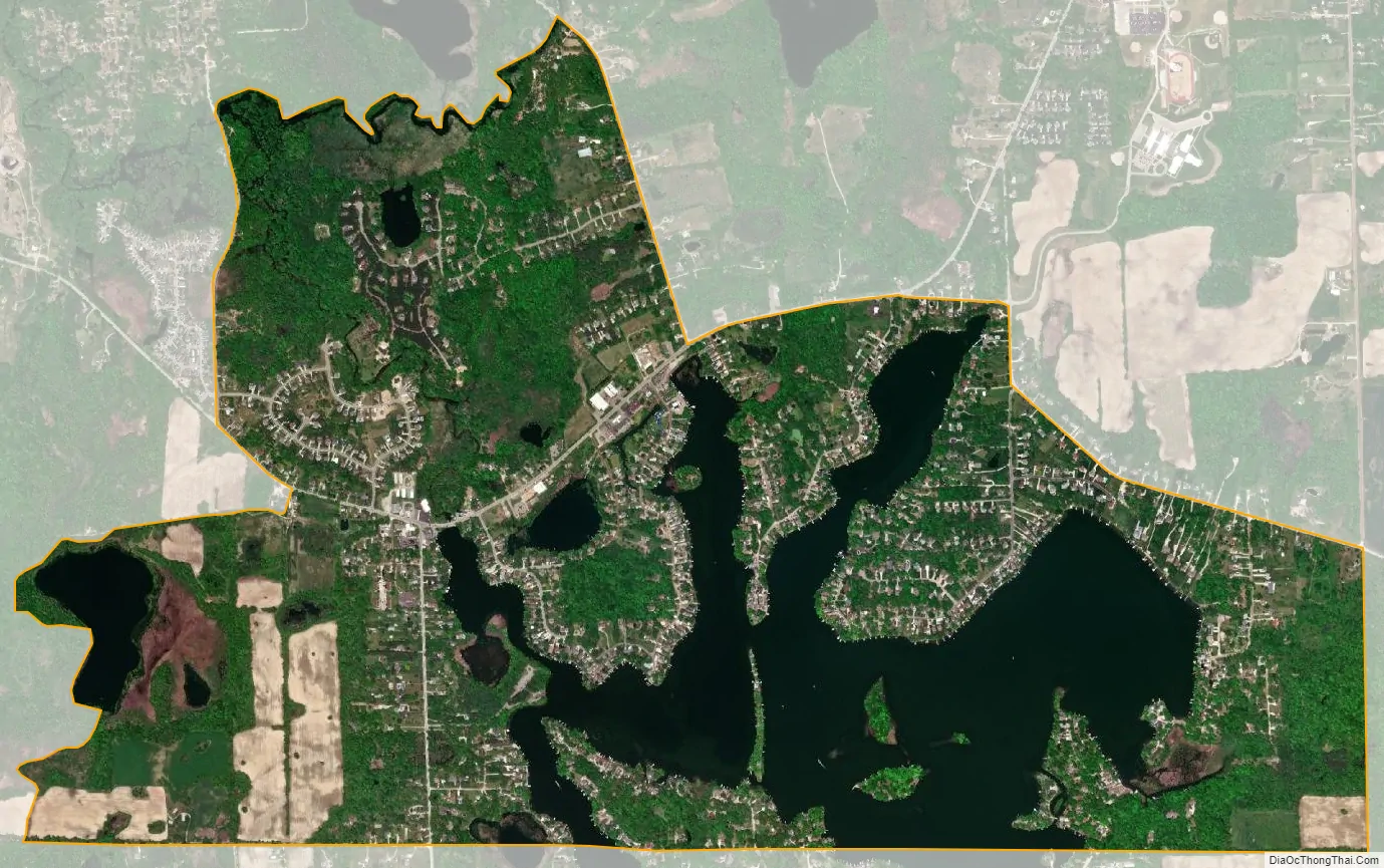
Geography
Argentine is in southern Genesee County, in the southeast corner of Argentine Township. The CDP extends east to the border of Fenton Charter Township, and the southern edge of the CDP follows the Genesee–Livingston County line. The CDP includes the Genesee County portion of Lobdell Lake and its surroundings, and extends west to include Murray Lake and north to the Shiawassee River. The center of the community is at the intersection of Silver Lake Road and South Seymour Road, at the northwest end of Lobdell Lake. Silver Lake Road leads northeast 4 miles (6 km) to Linden and northwest 6 miles (10 km) to Byron, while South Seymour Road leads south into Livingston County, where it becomes Argentine Road.
According to the United States Census Bureau, the Argentine CDP has a total area of 3.3 square miles (8.5 km), of which 2.4 square miles (6.1 km) is land and 0.93 square miles (2.4 km), or 27.73%, is water.
See also
Map of Michigan State and its subdivision:- Alcona
- Alger
- Allegan
- Alpena
- Antrim
- Arenac
- Baraga
- Barry
- Bay
- Benzie
- Berrien
- Branch
- Calhoun
- Cass
- Charlevoix
- Cheboygan
- Chippewa
- Clare
- Clinton
- Crawford
- Delta
- Dickinson
- Eaton
- Emmet
- Genesee
- Gladwin
- Gogebic
- Grand Traverse
- Gratiot
- Hillsdale
- Houghton
- Huron
- Ingham
- Ionia
- Iosco
- Iron
- Isabella
- Jackson
- Kalamazoo
- Kalkaska
- Kent
- Keweenaw
- Lake
- Lake Hurron
- Lake Michigan
- Lake St. Clair
- Lake Superior
- Lapeer
- Leelanau
- Lenawee
- Livingston
- Luce
- Mackinac
- Macomb
- Manistee
- Marquette
- Mason
- Mecosta
- Menominee
- Midland
- Missaukee
- Monroe
- Montcalm
- Montmorency
- Muskegon
- Newaygo
- Oakland
- Oceana
- Ogemaw
- Ontonagon
- Osceola
- Oscoda
- Otsego
- Ottawa
- Presque Isle
- Roscommon
- Saginaw
- Saint Clair
- Saint Joseph
- Sanilac
- Schoolcraft
- Shiawassee
- Tuscola
- Van Buren
- Washtenaw
- Wayne
- Wexford
- Alabama
- Alaska
- Arizona
- Arkansas
- California
- Colorado
- Connecticut
- Delaware
- District of Columbia
- Florida
- Georgia
- Hawaii
- Idaho
- Illinois
- Indiana
- Iowa
- Kansas
- Kentucky
- Louisiana
- Maine
- Maryland
- Massachusetts
- Michigan
- Minnesota
- Mississippi
- Missouri
- Montana
- Nebraska
- Nevada
- New Hampshire
- New Jersey
- New Mexico
- New York
- North Carolina
- North Dakota
- Ohio
- Oklahoma
- Oregon
- Pennsylvania
- Rhode Island
- South Carolina
- South Dakota
- Tennessee
- Texas
- Utah
- Vermont
- Virginia
- Washington
- West Virginia
- Wisconsin
- Wyoming