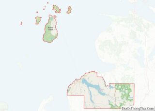
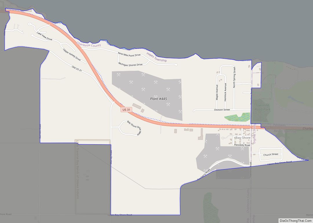
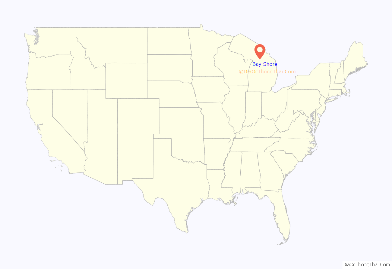
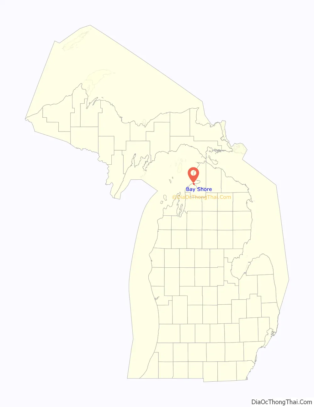
Bay Shore is an unincorporated community and census-designated place (CDP) located on the boundary between Charlevoix County and Emmet County in the U.S. state of Michigan. The population of the CDP was 657 at the 2020 census.
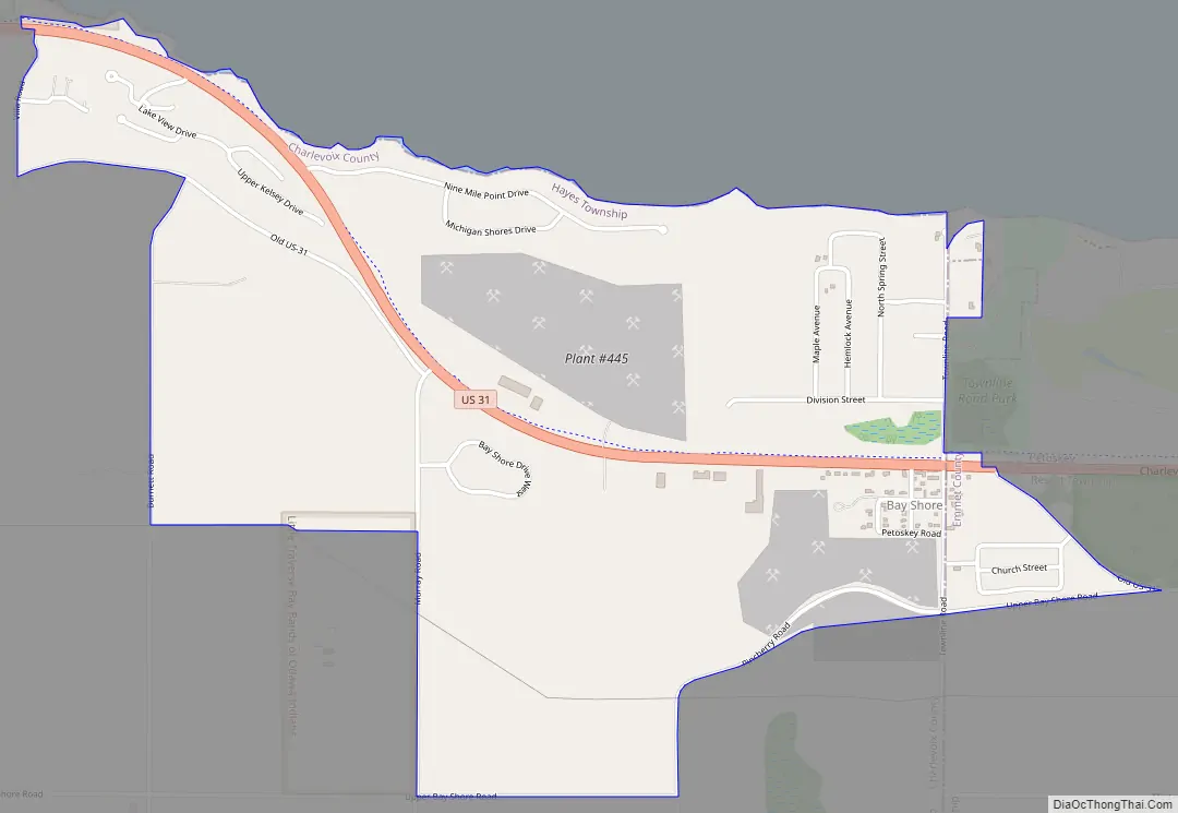
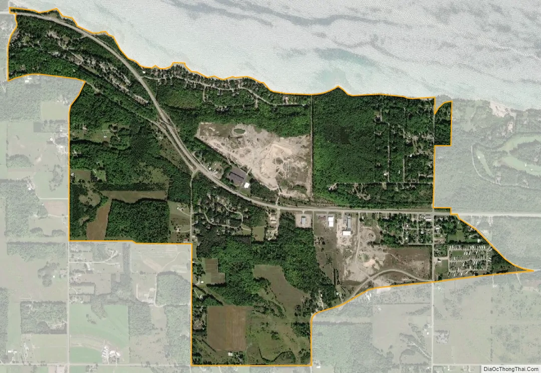
Bay Shore is located along Little Traverse Bay on Lake Michigan just west of the city of Petoskey. It is mostly within Hayes Township in Charlevoix County with a small portion extending east into Resort Township in Emmet County.
| Name: | Bay Shore CDP |
|---|---|
| LSAD Code: | 57 |
| LSAD Description: | CDP (suffix) |
| State: | Michigan |
| County: | Charlevoix County, Emmet County |
| Elevation: | 676 ft (206 m) |
| Total Area: | 1.55 sq mi (4.03 km²) |
| Land Area: | 1.55 sq mi (4.02 km²) |
| Water Area: | 0.00 sq mi (0.00 km²) |
| Total Population: | 687 |
| Population Density: | 442.08/sq mi (170.70/km²) |
| Area code: | 231 |
| FIPS code: | 2606180 |
| GNISfeature ID: | 1618887 |
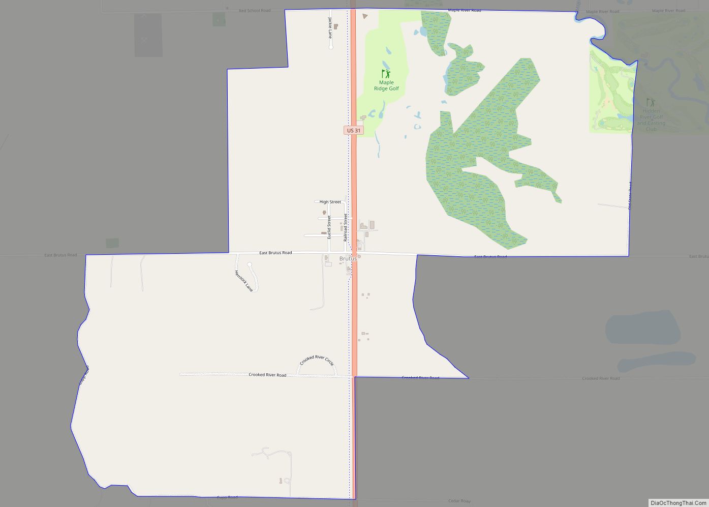
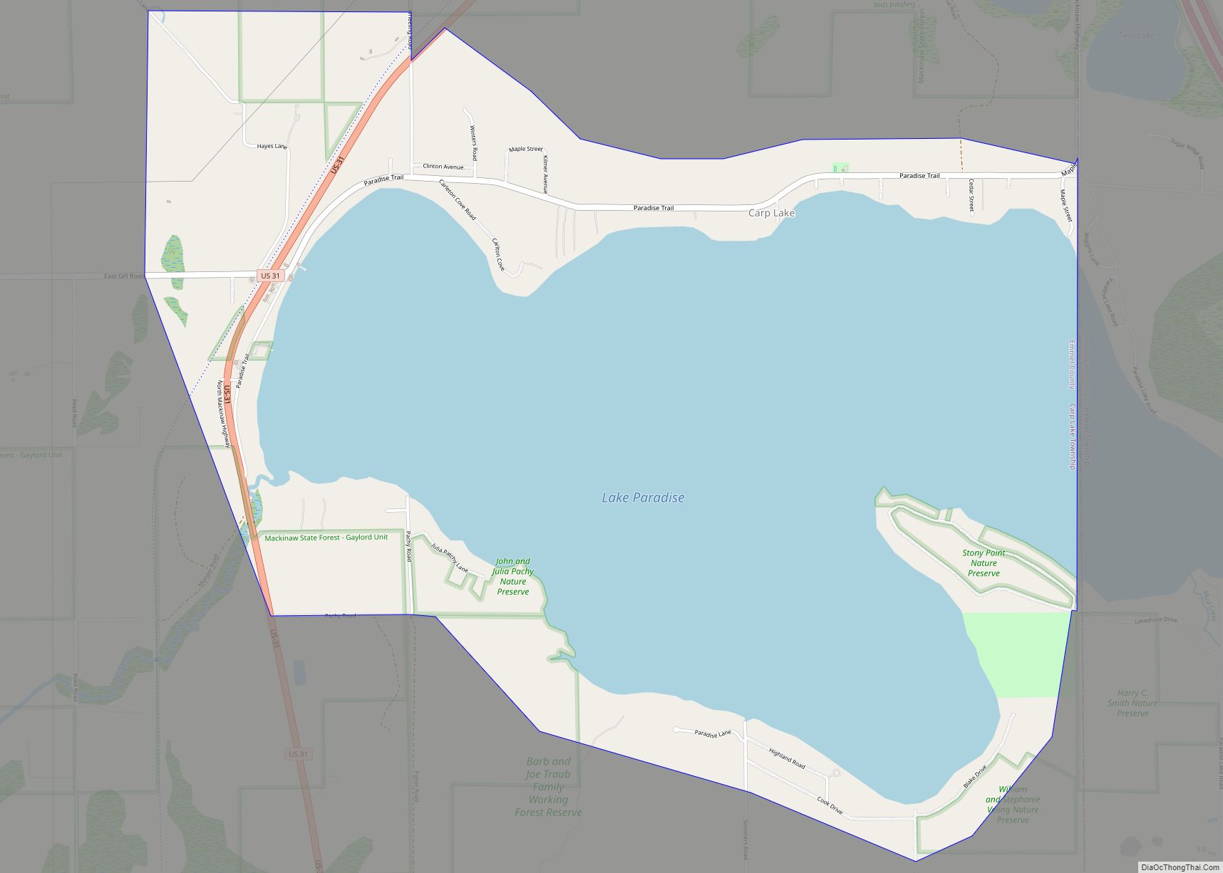
Online Interactive Map
Click on ![]() to view map in "full screen" mode.
to view map in "full screen" mode.
Bay Shore location map. Where is Bay Shore CDP?
History
The land was originally owned by Eugene Sly and Nancy Stauffer. The community was known as both Bay Side to the north and Bay Shore, but the Bay Shore name was adopted when the Chicago and West Michigan Railway built a station there in 1892. The name Bay Shore came from its coastal location on Little Traverse Bay. A post office opened in Bay Shore on July 25, 1892 with Sly serving as the first postmaster. The community was surveyed and platted by John Swift in 1896. The post office operated until September 30, 1965.
While the community no longer has its own post office, it may use the Bay Shore 49711 post office box ZIP Code.
The community of Bay Shore was listed as a newly-organized census-designated place for the 2010 census, meaning it now has officially defined boundaries and population statistics for the first time.
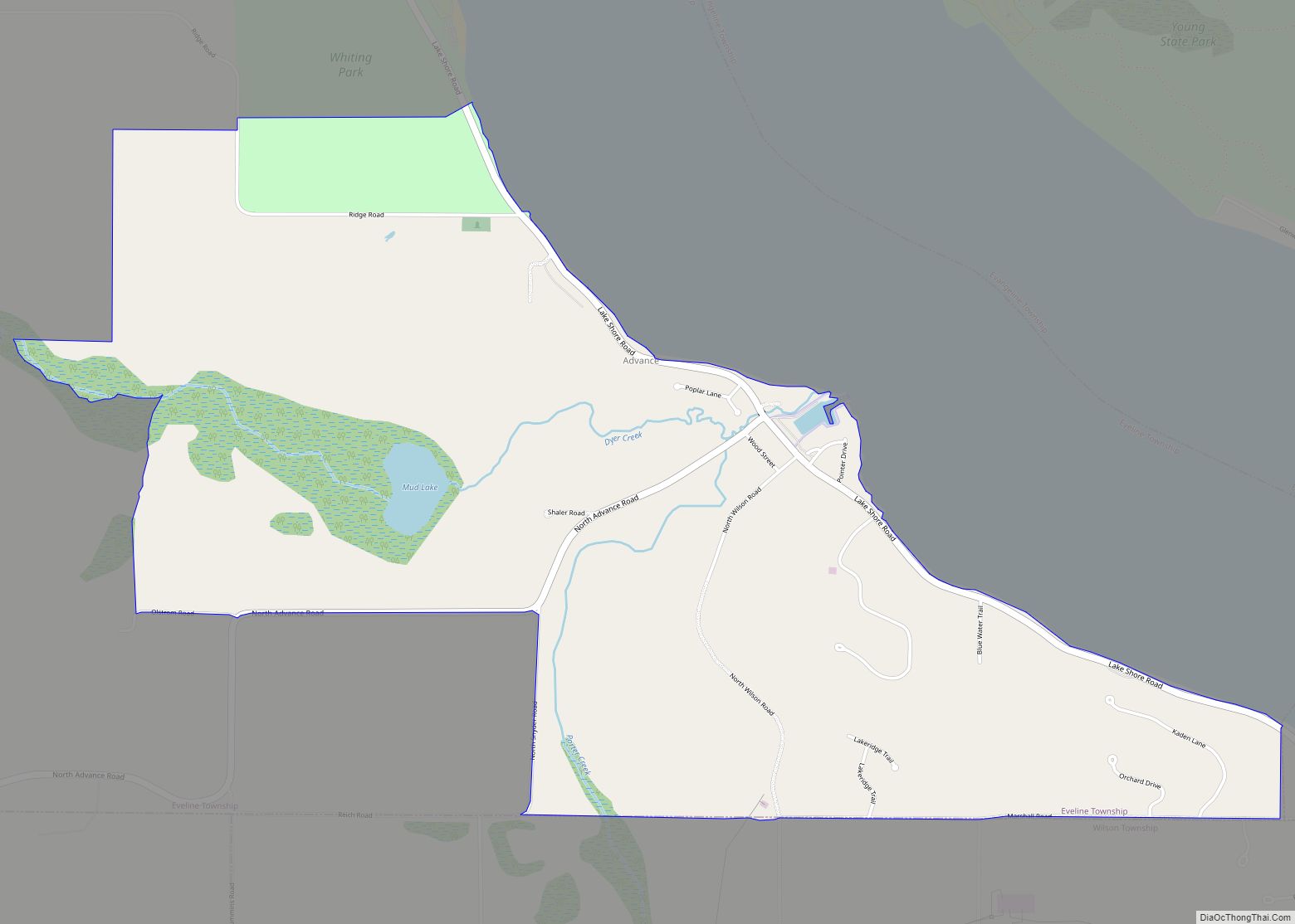
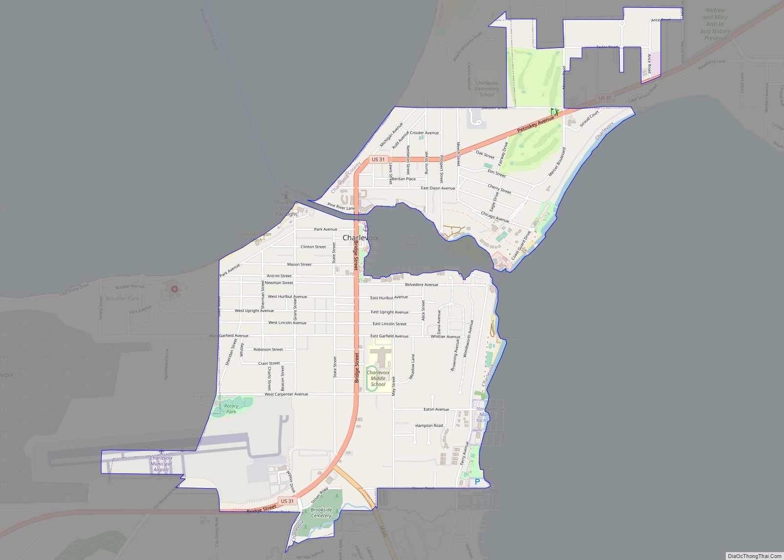
Bay Shore Road Map
Bay Shore city Satellite Map
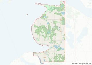
Geography
According to the U.S. Census Bureau, the Bay Shore CDP has a total area of 1.55 square miles (4.01 km), all land.
Major highways
- US 31 runs through the center of the community near the coast of Lake Michigan.
- C-71 (Horton Bay Road) is just to the east of the community and runs south to Horton Bay.
See also
Map of Michigan State and its subdivision:- Alcona
- Alger
- Allegan
- Alpena
- Antrim
- Arenac
- Baraga
- Barry
- Bay
- Benzie
- Berrien
- Branch
- Calhoun
- Cass
- Charlevoix
- Cheboygan
- Chippewa
- Clare
- Clinton
- Crawford
- Delta
- Dickinson
- Eaton
- Emmet
- Genesee
- Gladwin
- Gogebic
- Grand Traverse
- Gratiot
- Hillsdale
- Houghton
- Huron
- Ingham
- Ionia
- Iosco
- Iron
- Isabella
- Jackson
- Kalamazoo
- Kalkaska
- Kent
- Keweenaw
- Lake
- Lake Hurron
- Lake Michigan
- Lake St. Clair
- Lake Superior
- Lapeer
- Leelanau
- Lenawee
- Livingston
- Luce
- Mackinac
- Macomb
- Manistee
- Marquette
- Mason
- Mecosta
- Menominee
- Midland
- Missaukee
- Monroe
- Montcalm
- Montmorency
- Muskegon
- Newaygo
- Oakland
- Oceana
- Ogemaw
- Ontonagon
- Osceola
- Oscoda
- Otsego
- Ottawa
- Presque Isle
- Roscommon
- Saginaw
- Saint Clair
- Saint Joseph
- Sanilac
- Schoolcraft
- Shiawassee
- Tuscola
- Van Buren
- Washtenaw
- Wayne
- Wexford
- Alabama
- Alaska
- Arizona
- Arkansas
- California
- Colorado
- Connecticut
- Delaware
- District of Columbia
- Florida
- Georgia
- Hawaii
- Idaho
- Illinois
- Indiana
- Iowa
- Kansas
- Kentucky
- Louisiana
- Maine
- Maryland
- Massachusetts
- Michigan
- Minnesota
- Mississippi
- Missouri
- Montana
- Nebraska
- Nevada
- New Hampshire
- New Jersey
- New Mexico
- New York
- North Carolina
- North Dakota
- Ohio
- Oklahoma
- Oregon
- Pennsylvania
- Rhode Island
- South Carolina
- South Dakota
- Tennessee
- Texas
- Utah
- Vermont
- Virginia
- Washington
- West Virginia
- Wisconsin
- Wyoming