Beecher (or also, Beecher Metropolitan District) is a census-designated place (CDP) in Genesee County in the U.S. state of Michigan. It was first listed as a CDP in 2000. Per the 2020 census, the population was 8,840.
The CDP area is situated on the east side of Mount Morris Township where Interstate 475 turns westward between the cities of Flint and Mount Morris. The eastern one-third of the CDP is in the western part of Genesee Township.
The name “Beecher” is used for a number of institutions covering some part of the census-designated place: Beecher Community School District, Beecher Fire Department and Beecher Metropolitan Water and Sewer District.
| Name: | Beecher CDP |
|---|---|
| LSAD Code: | 57 |
| LSAD Description: | CDP (suffix) |
| State: | Michigan |
| County: | Genesee County |
| Elevation: | 781 ft (238 m) |
| Total Area: | 5.90 sq mi (15.28 km²) |
| Land Area: | 5.88 sq mi (15.23 km²) |
| Water Area: | 0.02 sq mi (0.05 km²) |
| Total Population: | 8,840 |
| Population Density: | 1,502.89/sq mi (580.25/km²) |
| Area code: | 810 |
| FIPS code: | 2606820 |
| GNISfeature ID: | 2393332 |
| Website: | beecherwater.us |
Online Interactive Map
Click on ![]() to view map in "full screen" mode.
to view map in "full screen" mode.
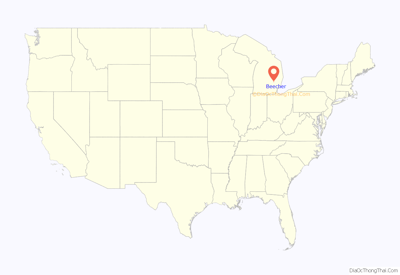
Beecher location map. Where is Beecher CDP?
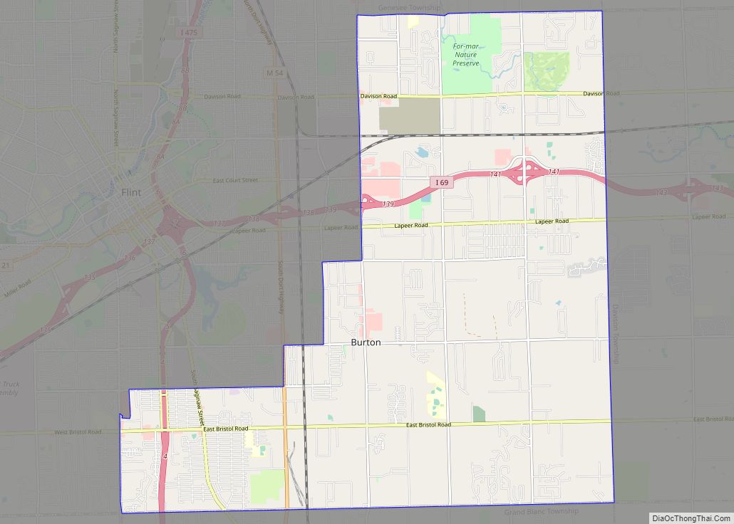
Beecher Road Map
Beecher city Satellite Map
Geography
According to the United States Census Bureau, the CDP has a total area of 5.9 square miles (15.3 km), of which 0.02 square miles (0.05 km), or 0.32%, is water. The southern part of the CDP is served by the Flint ZIP codes of 48504 and 48505. The northern portion is served by the Mount Morris ZIP code 48458.
Beecher Road runs through Genesee County, but it lies mostly in Flint Township and Clayton Township and not Beecher itself.
See also
Map of Michigan State and its subdivision:- Alcona
- Alger
- Allegan
- Alpena
- Antrim
- Arenac
- Baraga
- Barry
- Bay
- Benzie
- Berrien
- Branch
- Calhoun
- Cass
- Charlevoix
- Cheboygan
- Chippewa
- Clare
- Clinton
- Crawford
- Delta
- Dickinson
- Eaton
- Emmet
- Genesee
- Gladwin
- Gogebic
- Grand Traverse
- Gratiot
- Hillsdale
- Houghton
- Huron
- Ingham
- Ionia
- Iosco
- Iron
- Isabella
- Jackson
- Kalamazoo
- Kalkaska
- Kent
- Keweenaw
- Lake
- Lake Hurron
- Lake Michigan
- Lake St. Clair
- Lake Superior
- Lapeer
- Leelanau
- Lenawee
- Livingston
- Luce
- Mackinac
- Macomb
- Manistee
- Marquette
- Mason
- Mecosta
- Menominee
- Midland
- Missaukee
- Monroe
- Montcalm
- Montmorency
- Muskegon
- Newaygo
- Oakland
- Oceana
- Ogemaw
- Ontonagon
- Osceola
- Oscoda
- Otsego
- Ottawa
- Presque Isle
- Roscommon
- Saginaw
- Saint Clair
- Saint Joseph
- Sanilac
- Schoolcraft
- Shiawassee
- Tuscola
- Van Buren
- Washtenaw
- Wayne
- Wexford
- Alabama
- Alaska
- Arizona
- Arkansas
- California
- Colorado
- Connecticut
- Delaware
- District of Columbia
- Florida
- Georgia
- Hawaii
- Idaho
- Illinois
- Indiana
- Iowa
- Kansas
- Kentucky
- Louisiana
- Maine
- Maryland
- Massachusetts
- Michigan
- Minnesota
- Mississippi
- Missouri
- Montana
- Nebraska
- Nevada
- New Hampshire
- New Jersey
- New Mexico
- New York
- North Carolina
- North Dakota
- Ohio
- Oklahoma
- Oregon
- Pennsylvania
- Rhode Island
- South Carolina
- South Dakota
- Tennessee
- Texas
- Utah
- Vermont
- Virginia
- Washington
- West Virginia
- Wisconsin
- Wyoming
