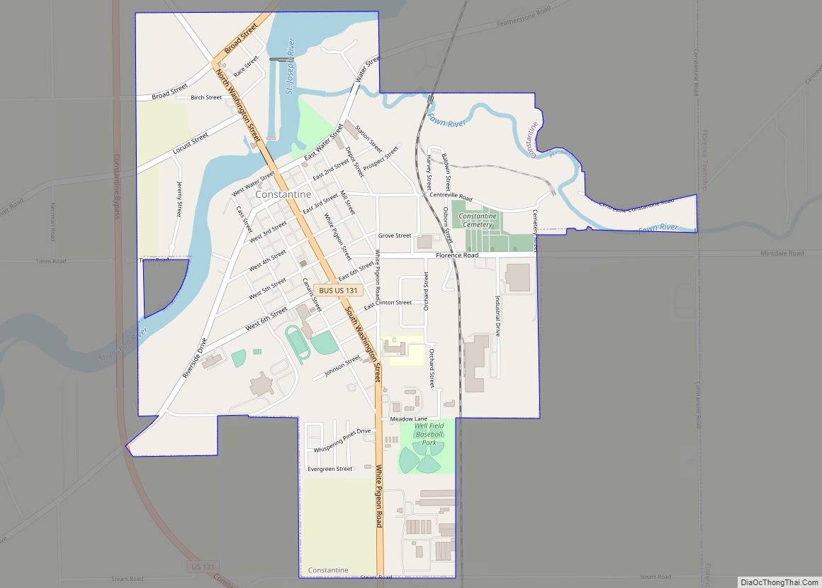
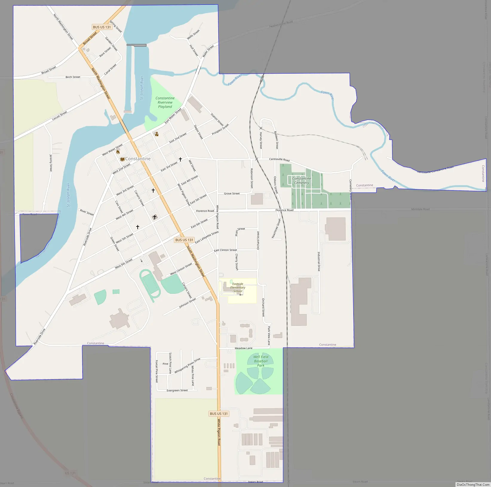
Constantine is a village in St. Joseph County in the U.S. state of Michigan. The population was 2,076 at the 2010 census. The village is located within Constantine Township. U.S. Highway 131 (Main Street in the village) leads to Kalamazoo to the north and to the Indiana Toll Road six miles to the south. The St. Joseph River, navigable from source to outlet, passes through the village, emptying in Lake Michigan to the west.
The telephone provider is Verizon and the electric provider is AEP Indiana Michigan Power. Located in an agricultural area, Constantine is known as the Seed Corn Capital of the World, as both Monsanto and Pioneer having their biggest facilities located here.
Constantine is the birthplace of Harry Hill Bandholtz, a US brigadier general in World War I and head of the US Military Mission to Hungary.
Constantine has its own public high school, home of the Falcons.
| Name: | Constantine village |
|---|---|
| LSAD Code: | 47 |
| LSAD Description: | village (suffix) |
| State: | Michigan |
| County: | St. Joseph County |
| Elevation: | 787 ft (240 m) |
| Total Area: | 1.78 sq mi (4.61 km²) |
| Land Area: | 1.64 sq mi (4.24 km²) |
| Water Area: | 0.14 sq mi (0.37 km²) |
| Total Population: | 1,947 |
| Population Density: | 1,190.10/sq mi (459.60/km²) |
| FIPS code: | 2617840 |
| GNISfeature ID: | 1624472 |
Online Interactive Map
Click on ![]() to view map in "full screen" mode.
to view map in "full screen" mode.
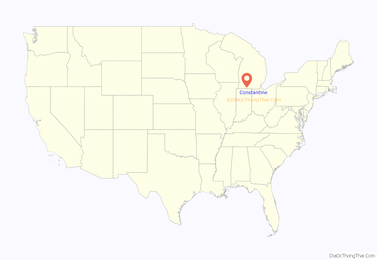
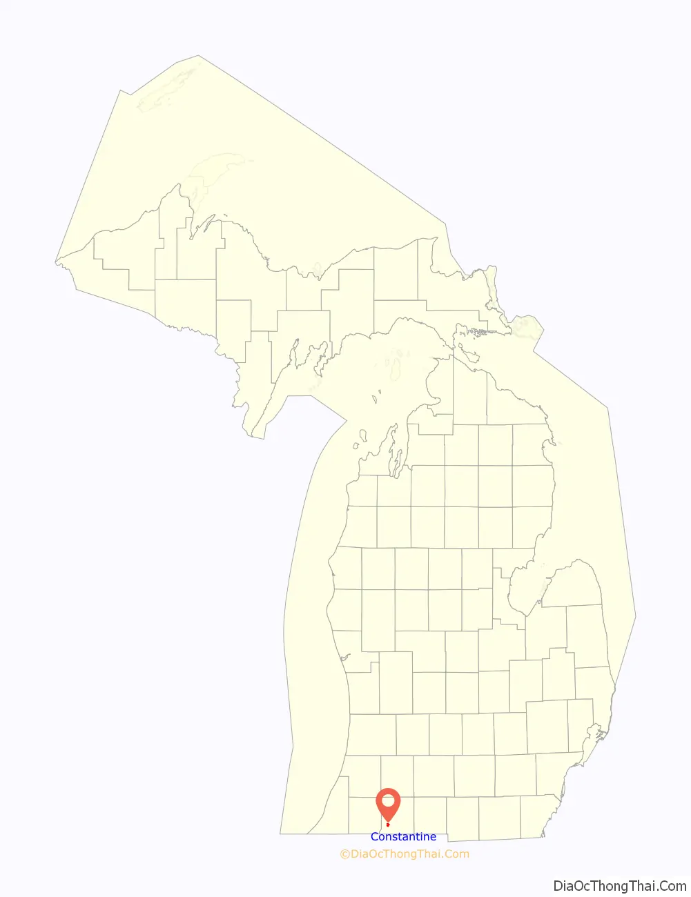
Constantine location map. Where is Constantine village?
History
The Potawatomi and related Native Americans historically had villages along the St. Joseph River and other waterways. Several of their leaders signed the Treaty of Chicago, agreeing to cede much of their land in southwestern Michigan, Indiana and Ohio country.
The village was platted in 1831 at the Fawn River’s confluence with the St. Joseph River, where three European-American families had settled. A gristmill, the first in the county to run by water, had been built here in 1830.
It was first named Meeks Mill after Johnathon Meeks, who built the first grain mill. A Yankee from New York or New England, he moved to several other frontier areas, each time having a town named after him. When using names of classical figures later came into vogue, the village was renamed for the Roman emperor Constantine the Great.
The Main Street of town is a historic center with richly detailed, two-story commercial buildings of the late 19th century. It is designated US 131 through the village and connected to newer roads outside.
Constantine Road Map
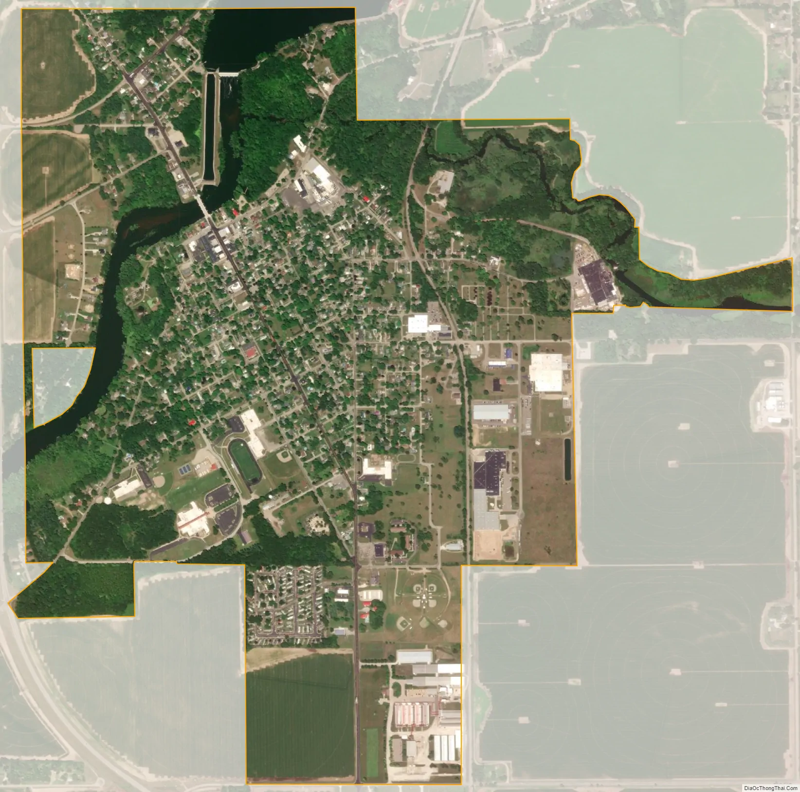
Constantine city Satellite Map
Geography
According to the United States Census Bureau, the village has a total area of 1.77 square miles (4.58 km), of which 1.61 square miles (4.17 km) is land and 0.16 square miles (0.41 km) is water.
See also
Map of Michigan State and its subdivision:- Alcona
- Alger
- Allegan
- Alpena
- Antrim
- Arenac
- Baraga
- Barry
- Bay
- Benzie
- Berrien
- Branch
- Calhoun
- Cass
- Charlevoix
- Cheboygan
- Chippewa
- Clare
- Clinton
- Crawford
- Delta
- Dickinson
- Eaton
- Emmet
- Genesee
- Gladwin
- Gogebic
- Grand Traverse
- Gratiot
- Hillsdale
- Houghton
- Huron
- Ingham
- Ionia
- Iosco
- Iron
- Isabella
- Jackson
- Kalamazoo
- Kalkaska
- Kent
- Keweenaw
- Lake
- Lake Hurron
- Lake Michigan
- Lake St. Clair
- Lake Superior
- Lapeer
- Leelanau
- Lenawee
- Livingston
- Luce
- Mackinac
- Macomb
- Manistee
- Marquette
- Mason
- Mecosta
- Menominee
- Midland
- Missaukee
- Monroe
- Montcalm
- Montmorency
- Muskegon
- Newaygo
- Oakland
- Oceana
- Ogemaw
- Ontonagon
- Osceola
- Oscoda
- Otsego
- Ottawa
- Presque Isle
- Roscommon
- Saginaw
- Saint Clair
- Saint Joseph
- Sanilac
- Schoolcraft
- Shiawassee
- Tuscola
- Van Buren
- Washtenaw
- Wayne
- Wexford
- Alabama
- Alaska
- Arizona
- Arkansas
- California
- Colorado
- Connecticut
- Delaware
- District of Columbia
- Florida
- Georgia
- Hawaii
- Idaho
- Illinois
- Indiana
- Iowa
- Kansas
- Kentucky
- Louisiana
- Maine
- Maryland
- Massachusetts
- Michigan
- Minnesota
- Mississippi
- Missouri
- Montana
- Nebraska
- Nevada
- New Hampshire
- New Jersey
- New Mexico
- New York
- North Carolina
- North Dakota
- Ohio
- Oklahoma
- Oregon
- Pennsylvania
- Rhode Island
- South Carolina
- South Dakota
- Tennessee
- Texas
- Utah
- Vermont
- Virginia
- Washington
- West Virginia
- Wisconsin
- Wyoming