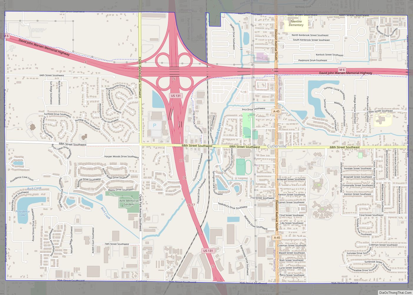
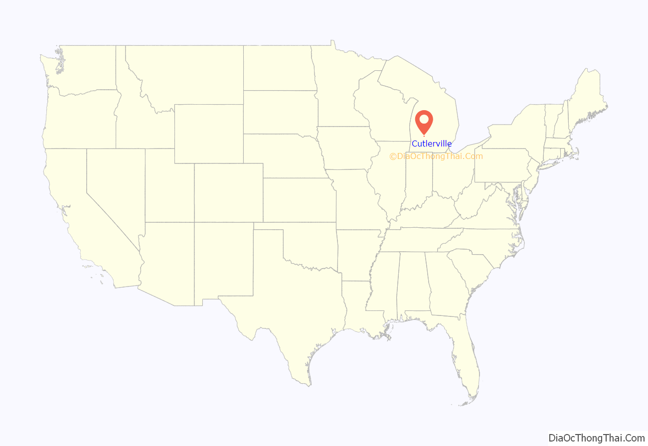
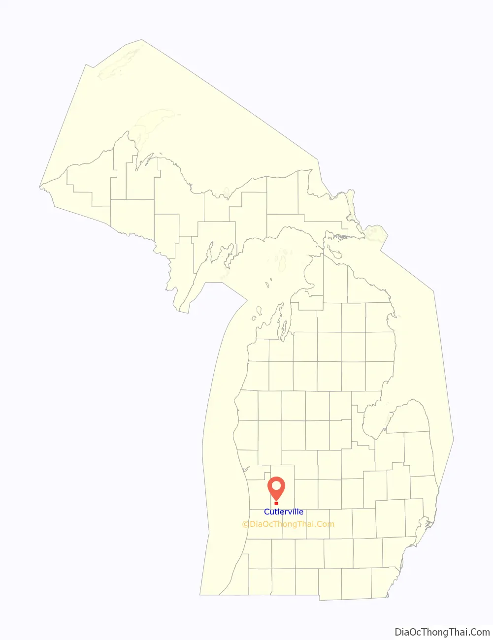
Cutlerville is an unincorporated community and census-designated place (CDP) in Kent County in the U.S. state of Michigan. The population was 17,849 as of the 2020 census. The community is located mostly within Byron Township to the west with a smaller portion within Gaines Township to the east.
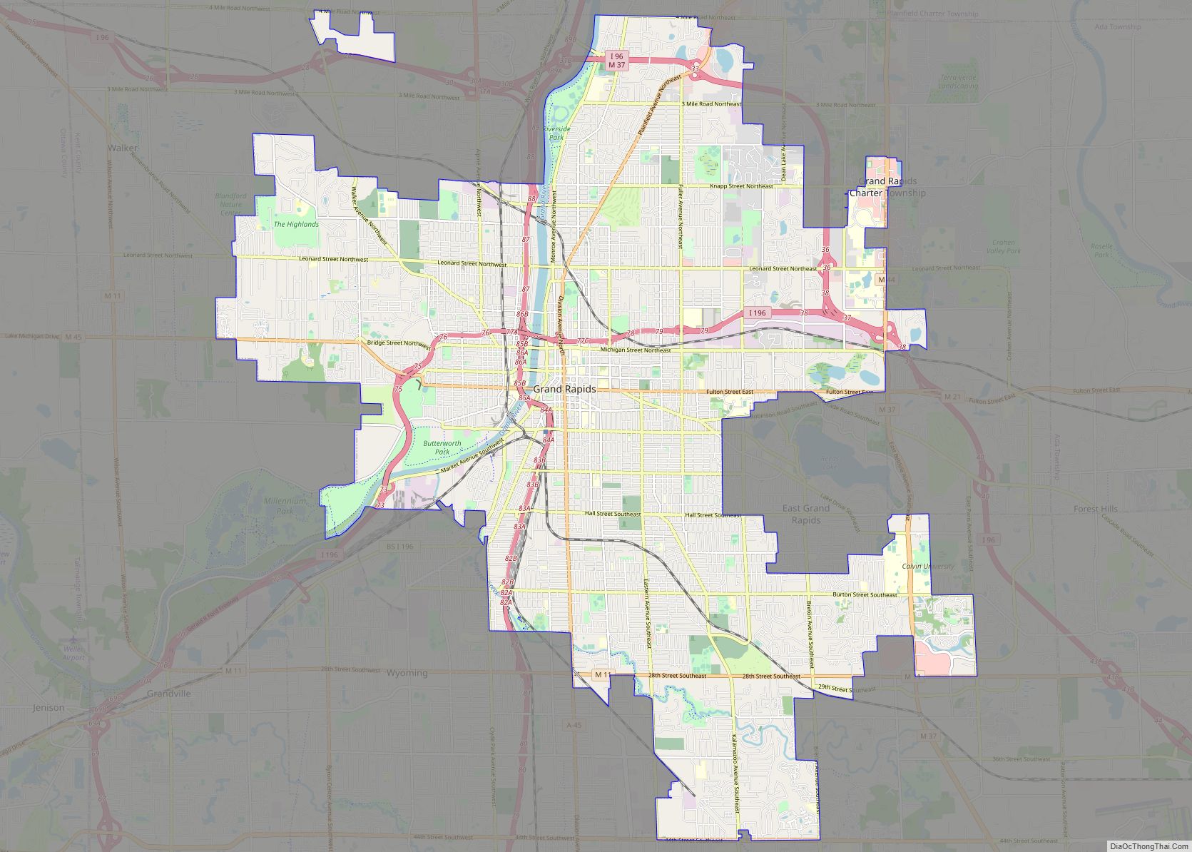
The community is part of the Grand Rapids metropolitan area and is about 3.0 miles (4.8 km) south of the city of Grand Rapids.
| Name: | Cutlerville CDP |
|---|---|
| LSAD Code: | 57 |
| LSAD Description: | CDP (suffix) |
| State: | Michigan |
| County: | Kent County |
| Elevation: | 676 ft (206 m) |
| Total Area: | 5.75 sq mi (14.89 km²) |
| Land Area: | 5.74 sq mi (14.85 km²) |
| Water Area: | 0.01 sq mi (0.04 km²) |
| Total Population: | 17,849 |
| Population Density: | 3,112.29/sq mi (1,201.60/km²) |
| Area code: | 616 |
| FIPS code: | 2619500 |
| GNISfeature ID: | 0624256 |
Online Interactive Map
Click on ![]() to view map in "full screen" mode.
to view map in "full screen" mode.
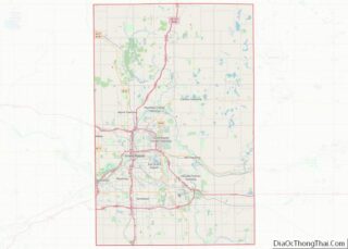
Cutlerville location map. Where is Cutlerville CDP?
History
John Cutler, who came here from New York state with his wife and ten children, bought 312 acres (1.26 km) in 1853 and built a log cabin. In 1891, his son John I. Cutler built the Cutler mansion, which in 1910 became the nucleus of the Pine Rest Christian Mental Health Services.
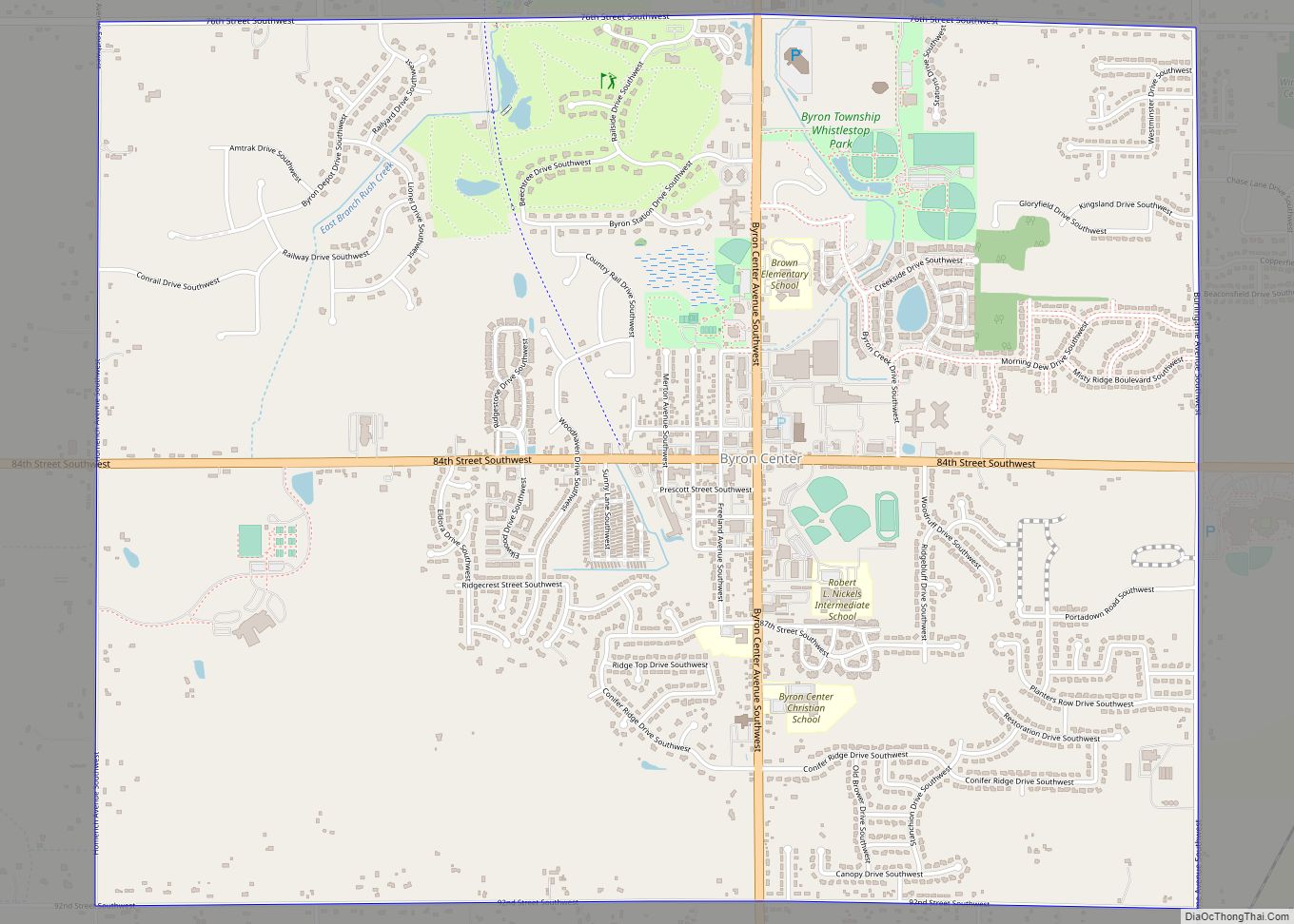
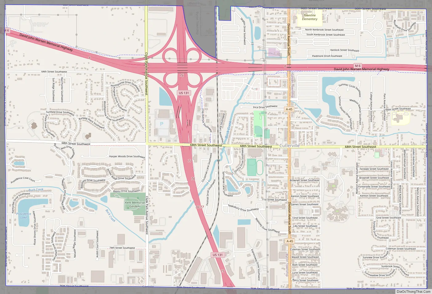
Cutlerville Road Map
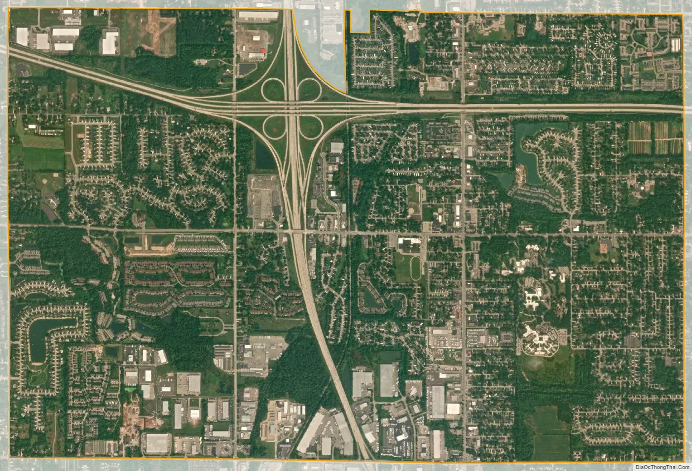
Cutlerville city Satellite Map
Geography
According to the U.S. Census Bureau, the CDP has a total area of 5.89 square miles (15.26 km), of which 5.87 square miles (15.20 km) is land and 0.02 square miles (0.05 km) (0.34%) is water
The Buck Creek flows through the community, which flows north to the Grand River in the city of Grandville.
Cutlerville is in southwestern Kent County within Byron Township on the west and Gaines Township on the east. The community is bordered to the north by the cities of Wyoming and Kentwood.
Major highways
- US 131 runs south–north through the center of the community.
- M-6 runs west–east through the northern portion of the community and has an interchange with U.S. Route 131.
See also
Map of Michigan State and its subdivision:- Alcona
- Alger
- Allegan
- Alpena
- Antrim
- Arenac
- Baraga
- Barry
- Bay
- Benzie
- Berrien
- Branch
- Calhoun
- Cass
- Charlevoix
- Cheboygan
- Chippewa
- Clare
- Clinton
- Crawford
- Delta
- Dickinson
- Eaton
- Emmet
- Genesee
- Gladwin
- Gogebic
- Grand Traverse
- Gratiot
- Hillsdale
- Houghton
- Huron
- Ingham
- Ionia
- Iosco
- Iron
- Isabella
- Jackson
- Kalamazoo
- Kalkaska
- Kent
- Keweenaw
- Lake
- Lake Hurron
- Lake Michigan
- Lake St. Clair
- Lake Superior
- Lapeer
- Leelanau
- Lenawee
- Livingston
- Luce
- Mackinac
- Macomb
- Manistee
- Marquette
- Mason
- Mecosta
- Menominee
- Midland
- Missaukee
- Monroe
- Montcalm
- Montmorency
- Muskegon
- Newaygo
- Oakland
- Oceana
- Ogemaw
- Ontonagon
- Osceola
- Oscoda
- Otsego
- Ottawa
- Presque Isle
- Roscommon
- Saginaw
- Saint Clair
- Saint Joseph
- Sanilac
- Schoolcraft
- Shiawassee
- Tuscola
- Van Buren
- Washtenaw
- Wayne
- Wexford
- Alabama
- Alaska
- Arizona
- Arkansas
- California
- Colorado
- Connecticut
- Delaware
- District of Columbia
- Florida
- Georgia
- Hawaii
- Idaho
- Illinois
- Indiana
- Iowa
- Kansas
- Kentucky
- Louisiana
- Maine
- Maryland
- Massachusetts
- Michigan
- Minnesota
- Mississippi
- Missouri
- Montana
- Nebraska
- Nevada
- New Hampshire
- New Jersey
- New Mexico
- New York
- North Carolina
- North Dakota
- Ohio
- Oklahoma
- Oregon
- Pennsylvania
- Rhode Island
- South Carolina
- South Dakota
- Tennessee
- Texas
- Utah
- Vermont
- Virginia
- Washington
- West Virginia
- Wisconsin
- Wyoming