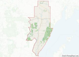
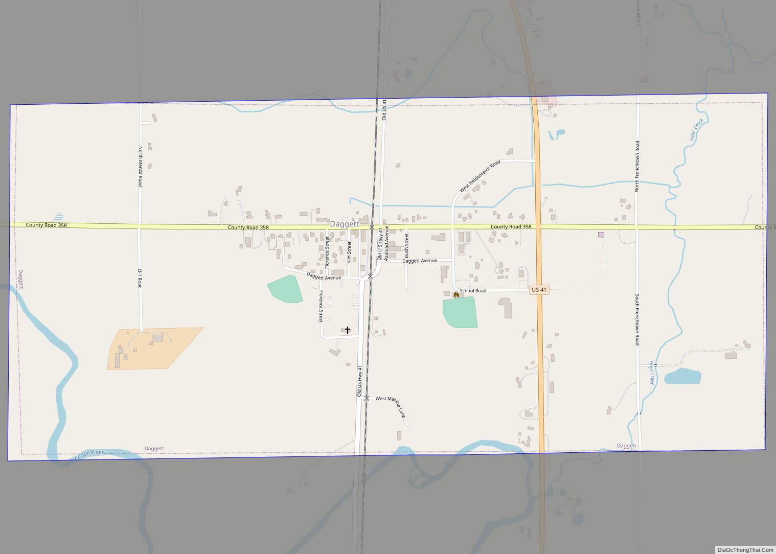
Daggett is a village in Menominee County of the U.S. state of Michigan. The population was 258 at the 2010 census. The village is located within Daggett Township and is part of the Marinette, WI–MI Micropolitan Statistical Area.
| Name: | Daggett village |
|---|---|
| LSAD Code: | 47 |
| LSAD Description: | village (suffix) |
| State: | Michigan |
| County: | Menominee County |
| Elevation: | 705 ft (215 m) |
| Total Area: | 1.12 sq mi (2.90 km²) |
| Land Area: | 1.12 sq mi (2.90 km²) |
| Water Area: | 0.00 sq mi (0.00 km²) |
| Total Population: | 201 |
| Population Density: | 179.30/sq mi (69.23/km²) |
| Area code: | 906 |
| FIPS code: | 2619560 |
| GNISfeature ID: | 0624271 |
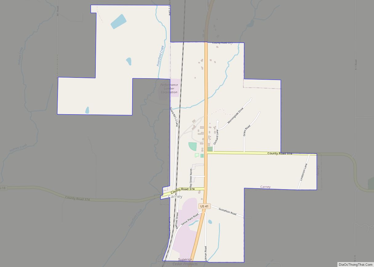
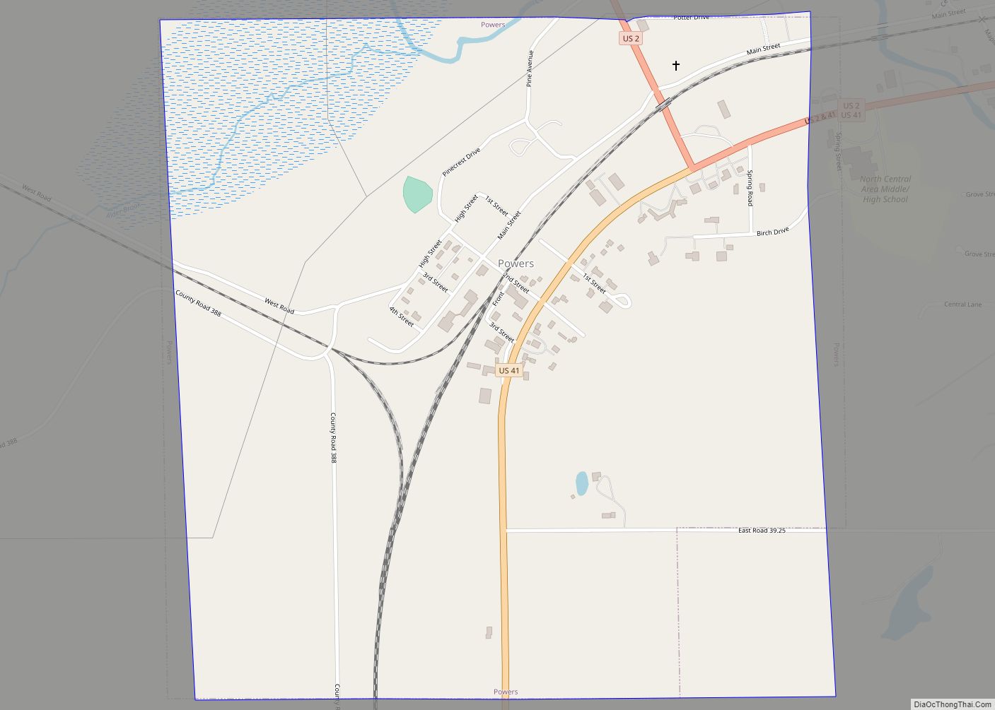
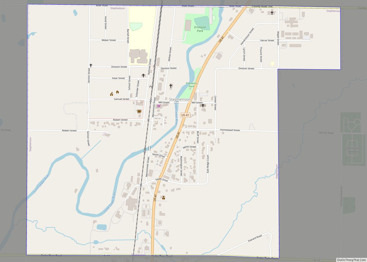
Online Interactive Map
Click on ![]() to view map in "full screen" mode.
to view map in "full screen" mode.
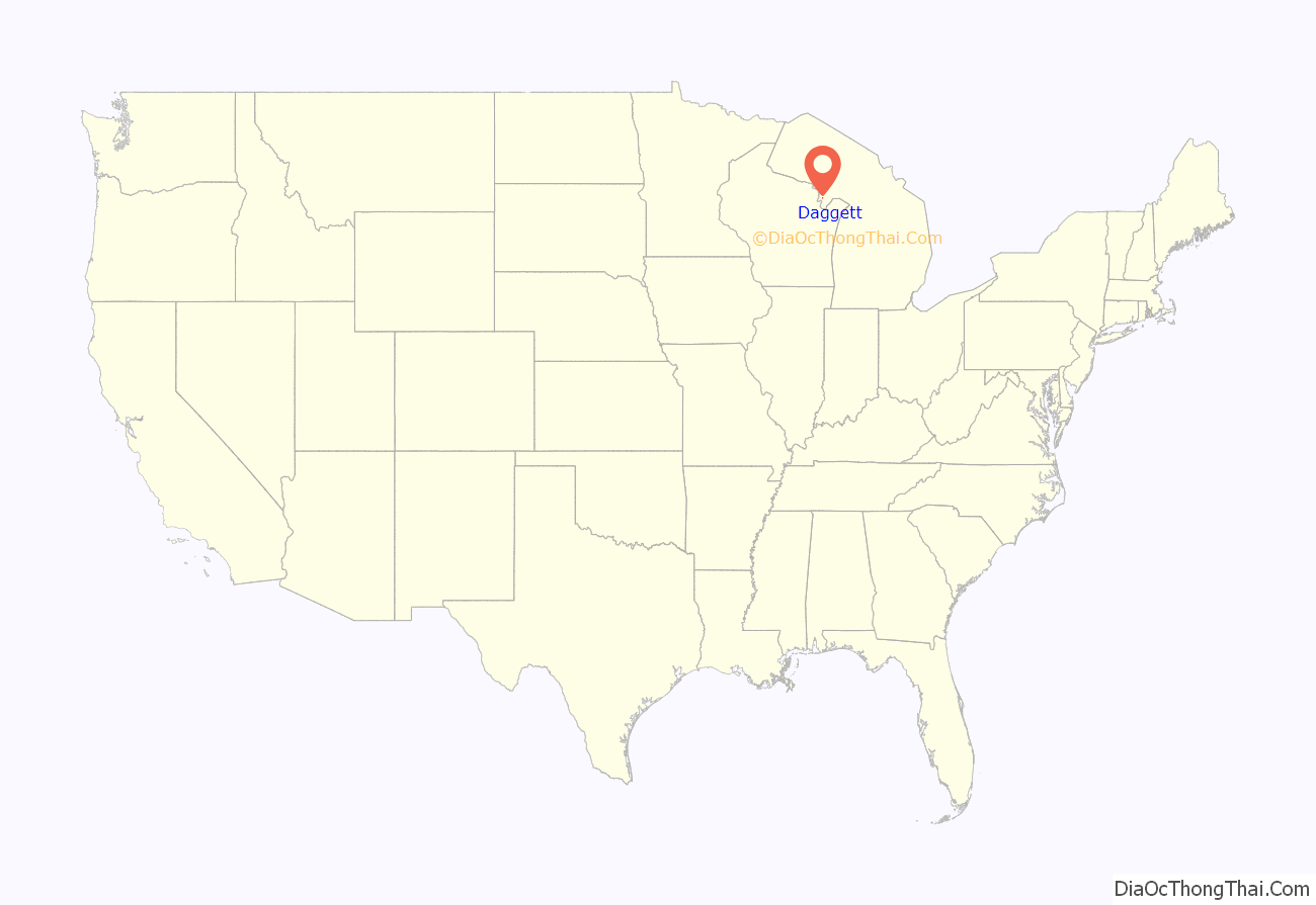
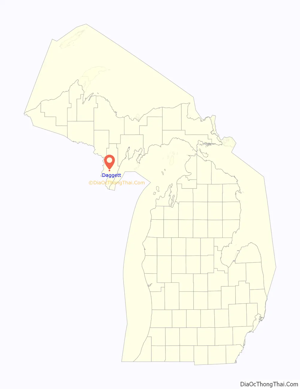
Daggett location map. Where is Daggett village?
History
Daggett was originally named Section 25. The name Daggett either refers Elmira Daggett, a New York native that came to the area to visit her brother and is then said to have become the village’s first postmistress, or to postmistress Clara Daggett’s father (a native of Elmira, New York), the father-in-law of the village’s founder, Thomas Faulkner.
The Village of Daggett was incorporated on August 30, 1902. “Because of the number of fires in the village, and with no help from [Stephenson] township, the Daggett people decided the best way to get fire protection was to incorporate.” Incorporated villages had been given the power to raise money for fire protection by the state legislature. The village lost little time in equipping a modern fire department. Mr. J. H. Earle, representing the Waterous Gasoline Fire Engine Co. of St. Paul, MN, signed a contract with the village council on October 17, 1902, promising delivery of an engine and 1,000 feet of hose within 30 days.
The Waterous product was among the most modern of the era, representing the transition from heavy steam-powered pumps. It coupled a four-cylinder gasoline motor to a 350 gallon-per-minute pump. The entire apparatus was light enough to be pulled rapidly by a team of horses or men. To provide ready water sources for the pumper, the village contracted during the last week of October, 1902 for four cisterns to be dug at different locations in the village. The contract was completed by November 15, 1902.
The engine was delivered to the village between November 17–21, 1902, the exact date being uncertain. Based on the report in the November 22, 1902 Menominee County Journal, the Daggett Volunteer Fire Department commenced operations on November 21, 1902. The modern fire engine in use at Daggett drew attention from neighboring communities, including the Sturgeon Bay, Wisconsin fire department, who visited Daggett in January, 1903 to observe the new engine. The Waterous unit likely served the village until replaced by a motorized engine from the same company in 1925.
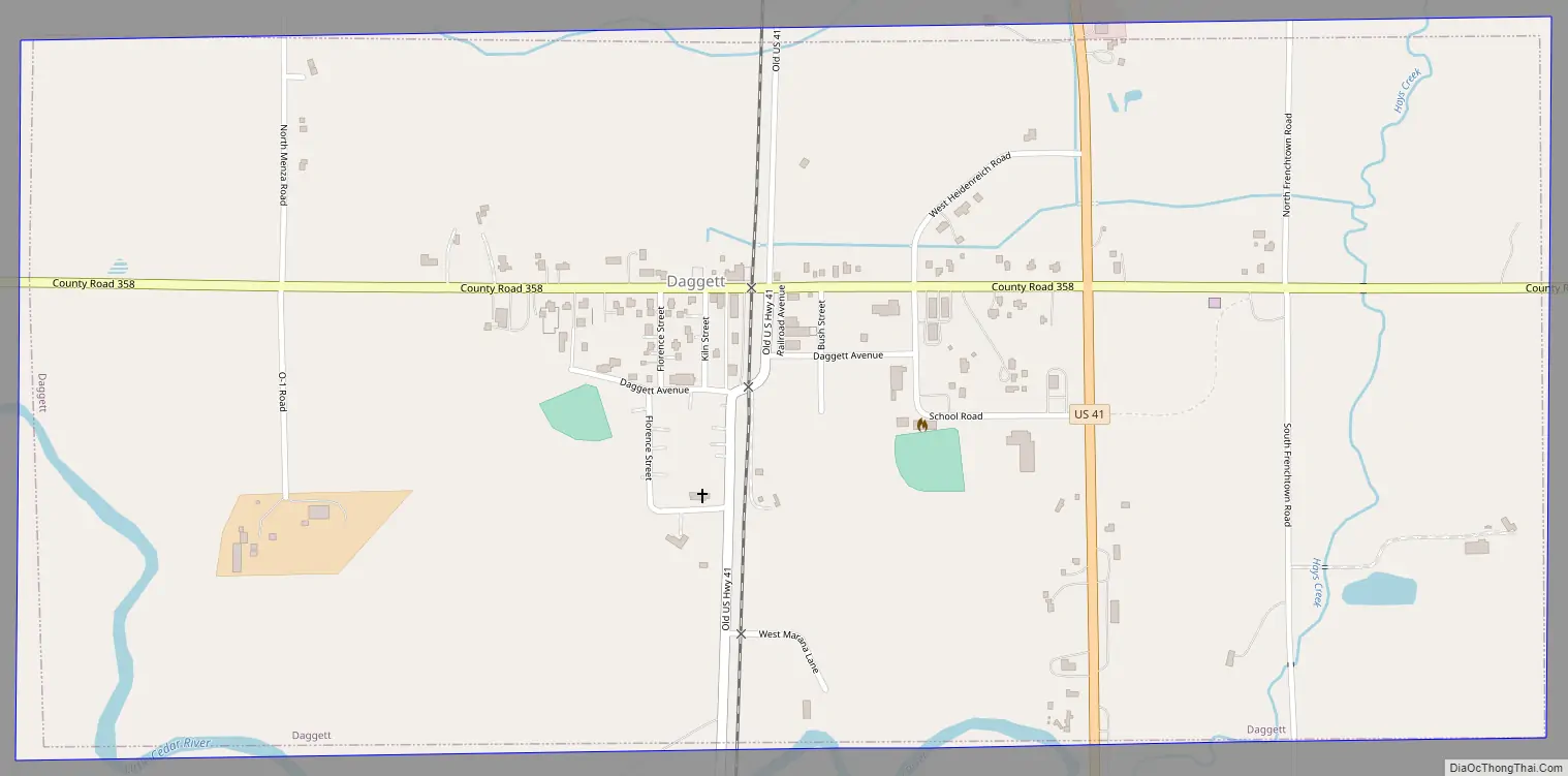
Daggett Road Map
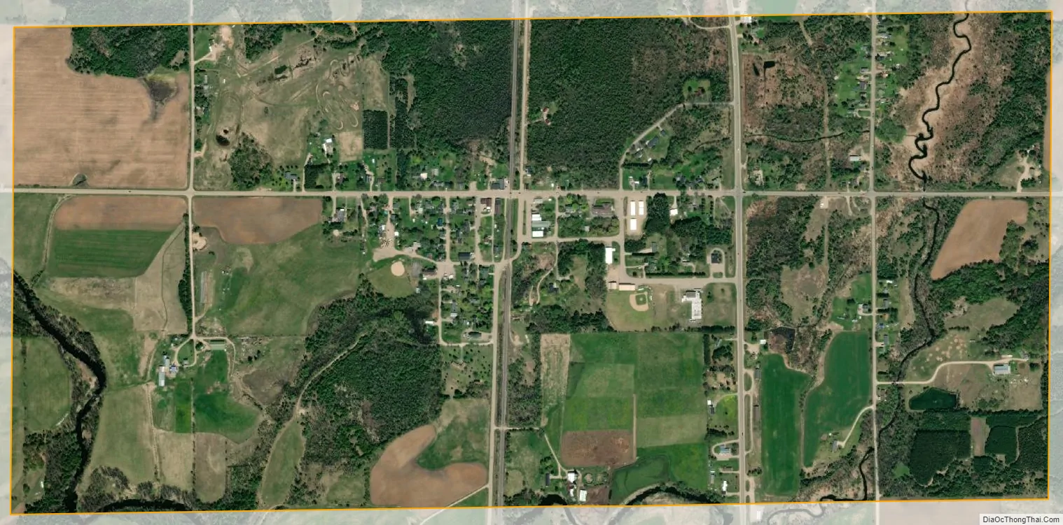
Daggett city Satellite Map
Geography
According to the United States Census Bureau, the village has a total area of 1.11 square miles (2.87 km), all land.
See also
Map of Michigan State and its subdivision:- Alcona
- Alger
- Allegan
- Alpena
- Antrim
- Arenac
- Baraga
- Barry
- Bay
- Benzie
- Berrien
- Branch
- Calhoun
- Cass
- Charlevoix
- Cheboygan
- Chippewa
- Clare
- Clinton
- Crawford
- Delta
- Dickinson
- Eaton
- Emmet
- Genesee
- Gladwin
- Gogebic
- Grand Traverse
- Gratiot
- Hillsdale
- Houghton
- Huron
- Ingham
- Ionia
- Iosco
- Iron
- Isabella
- Jackson
- Kalamazoo
- Kalkaska
- Kent
- Keweenaw
- Lake
- Lake Hurron
- Lake Michigan
- Lake St. Clair
- Lake Superior
- Lapeer
- Leelanau
- Lenawee
- Livingston
- Luce
- Mackinac
- Macomb
- Manistee
- Marquette
- Mason
- Mecosta
- Menominee
- Midland
- Missaukee
- Monroe
- Montcalm
- Montmorency
- Muskegon
- Newaygo
- Oakland
- Oceana
- Ogemaw
- Ontonagon
- Osceola
- Oscoda
- Otsego
- Ottawa
- Presque Isle
- Roscommon
- Saginaw
- Saint Clair
- Saint Joseph
- Sanilac
- Schoolcraft
- Shiawassee
- Tuscola
- Van Buren
- Washtenaw
- Wayne
- Wexford
- Alabama
- Alaska
- Arizona
- Arkansas
- California
- Colorado
- Connecticut
- Delaware
- District of Columbia
- Florida
- Georgia
- Hawaii
- Idaho
- Illinois
- Indiana
- Iowa
- Kansas
- Kentucky
- Louisiana
- Maine
- Maryland
- Massachusetts
- Michigan
- Minnesota
- Mississippi
- Missouri
- Montana
- Nebraska
- Nevada
- New Hampshire
- New Jersey
- New Mexico
- New York
- North Carolina
- North Dakota
- Ohio
- Oklahoma
- Oregon
- Pennsylvania
- Rhode Island
- South Carolina
- South Dakota
- Tennessee
- Texas
- Utah
- Vermont
- Virginia
- Washington
- West Virginia
- Wisconsin
- Wyoming