DeWitt is a city in Clinton County in the U.S. state of Michigan. The population was 4,776 at the 2020 census. The city is located north of Interstate 69 and west of U.S. Route 127, just north of the city of Lansing.
| Name: | DeWitt city |
|---|---|
| LSAD Code: | 25 |
| LSAD Description: | city (suffix) |
| State: | Michigan |
| County: | Clinton County |
| Incorporated: | 1929 (village) 1965 (city) |
| Elevation: | 827 ft (252 m) |
| Total Area: | 2.98 sq mi (7.72 km²) |
| Land Area: | 2.84 sq mi (7.35 km²) |
| Water Area: | 0.14 sq mi (0.37 km²) |
| Total Population: | 4,776 |
| Population Density: | 1,683.47/sq mi (649.94/km²) |
| Area code: | 517 |
| FIPS code: | 2622120 |
| GNISfeature ID: | 1626182 |
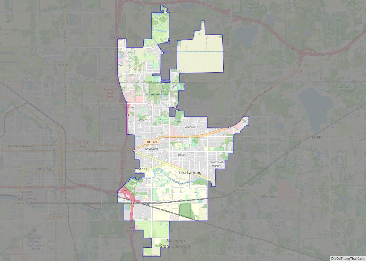
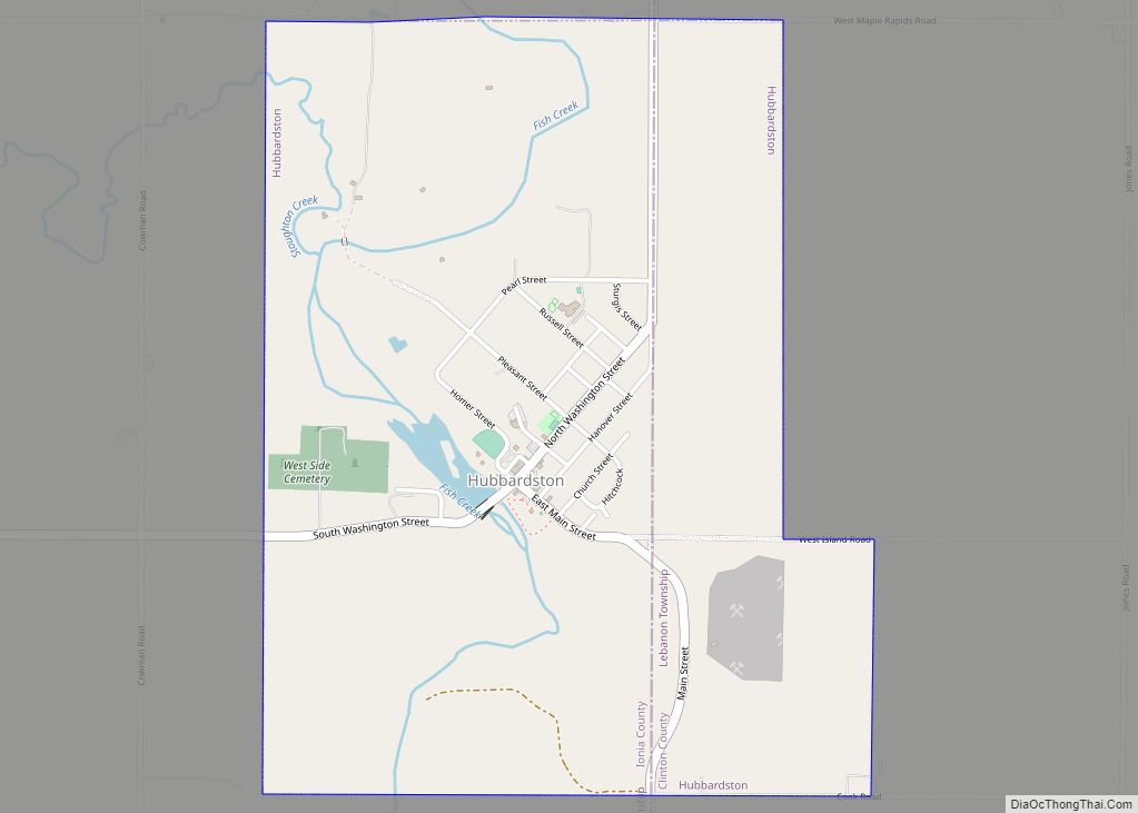
Online Interactive Map
Click on ![]() to view map in "full screen" mode.
to view map in "full screen" mode.
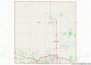
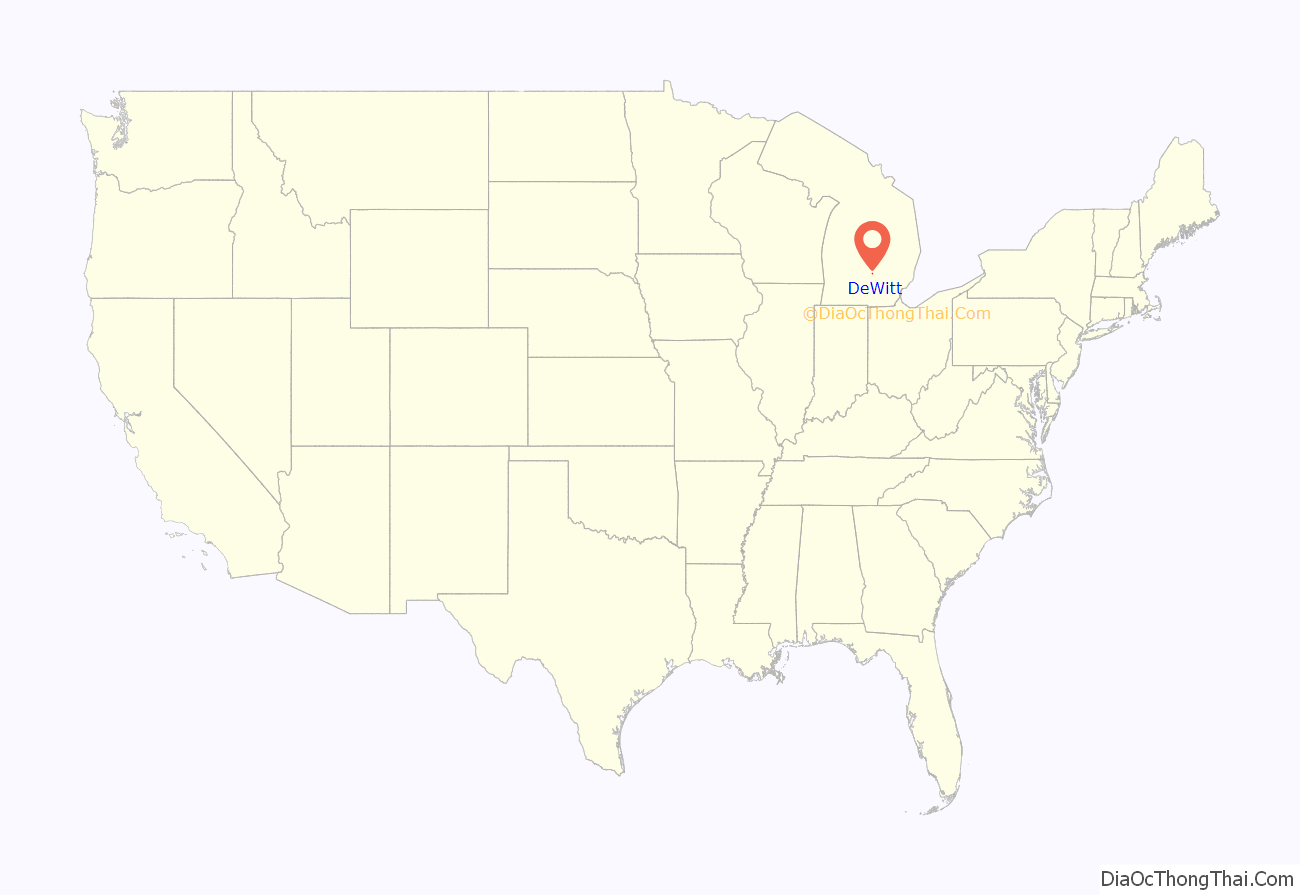
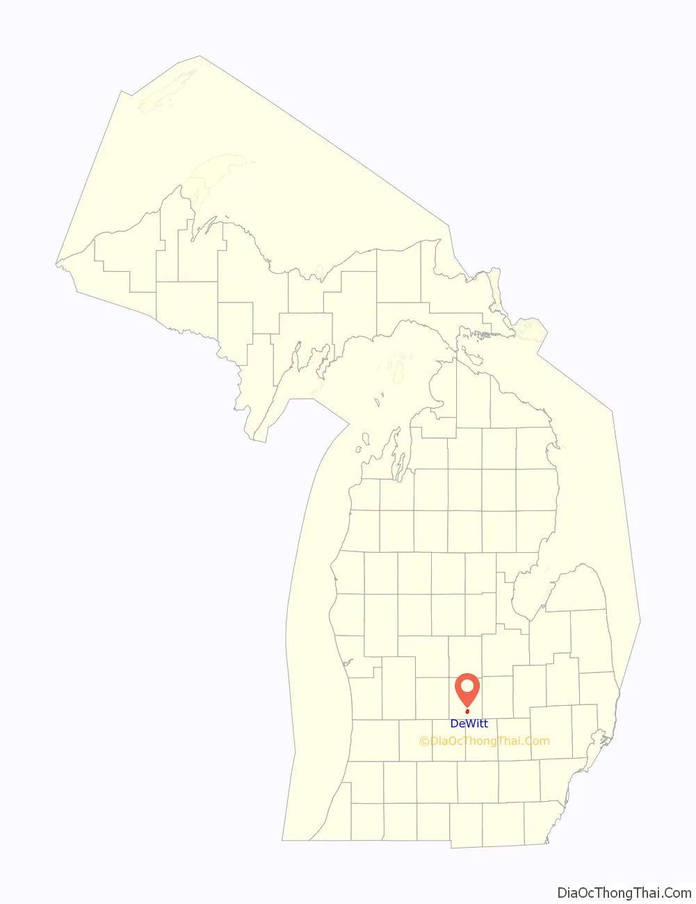
DeWitt location map. Where is DeWitt city?
History
DeWitt was named after DeWitt Clinton, Governor of New York during the 1820s. It was first settled by Captain David Scott, who moved there from Ann Arbor in 1833, and platted the land. The State Legislature formally created DeWitt Township on March 23, 1836. The first township meeting was held at the house of Captain Scott on April 8, 1836. A gentleman by the name of Welcome J. Partelo was named the township’s first Supervisor at that meeting.
It did not take long for the state to divide DeWitt Township into the many townships that we recognize today. In 1837, the township was split in half by a north–south line; the western half became Watertown Township. Two years later, the township was again split in half by an east–west line, and the northern half became Bingham Township. One day later, the governor approved an act, which split the remaining township area in half by an east–west line, and the eastern half became Ossowa Township (renamed Bath Township in 1857). The final split of the township came in 1841 when the northern half of the remaining land became Olive Township. In four years, DeWitt Township went from encompassing the entire county to its current boundary.
The county seat for Clinton County was also located in DeWitt Township from the inception of the county. The county seat remained in DeWitt Township until December 1857 when it was moved to high Hall, in the village of St. Johns, until a new courthouse could be built.
In the early 1900s, the Lansing, St. Johns and St. Louis Railway opened the community to a new era of prosperity. It was not until 1929 when the town was incorporated as a village, and then was no longer under the full jurisdiction of the township.
The area that is now the city was first incorporated as a village in 1929.
On October 21, 1930, a great fire swept though the downtown business district, destroying eight historic and business buildings. This included the destruction of the Clinton House/Hotel, which was a regionally famous establishment. The fire devastated the community, stagnating business growth once again. However, residential development did not slow, and thus DeWitt began its evolvement into the bedroom community that it is today.
The Village of Dewitt was incorporated into a city in 1965.
The DeWitt area was ranked as the 75th best place to live in the United States by CNN Money in 2005.
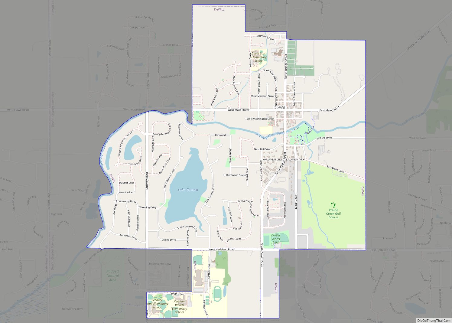
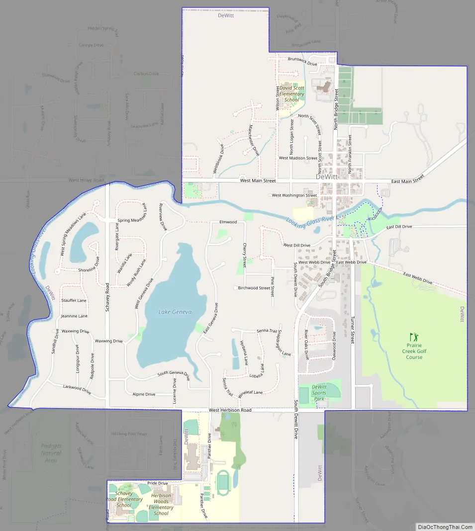
DeWitt Road Map
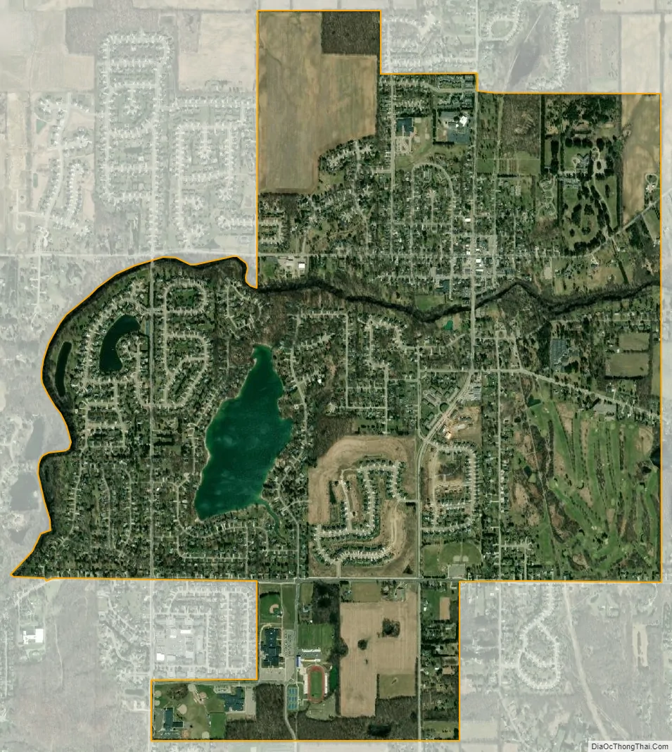
DeWitt city Satellite Map
Geography
According to the United States Census Bureau, the city has a total area of 2.99 square miles (7.74 km), of which 2.86 square miles (7.41 km) is land and 0.13 square miles (0.34 km) is water.
DeWitt is on the Looking Glass River, a tributary of the Grand River.
See also
Map of Michigan State and its subdivision:- Alcona
- Alger
- Allegan
- Alpena
- Antrim
- Arenac
- Baraga
- Barry
- Bay
- Benzie
- Berrien
- Branch
- Calhoun
- Cass
- Charlevoix
- Cheboygan
- Chippewa
- Clare
- Clinton
- Crawford
- Delta
- Dickinson
- Eaton
- Emmet
- Genesee
- Gladwin
- Gogebic
- Grand Traverse
- Gratiot
- Hillsdale
- Houghton
- Huron
- Ingham
- Ionia
- Iosco
- Iron
- Isabella
- Jackson
- Kalamazoo
- Kalkaska
- Kent
- Keweenaw
- Lake
- Lake Hurron
- Lake Michigan
- Lake St. Clair
- Lake Superior
- Lapeer
- Leelanau
- Lenawee
- Livingston
- Luce
- Mackinac
- Macomb
- Manistee
- Marquette
- Mason
- Mecosta
- Menominee
- Midland
- Missaukee
- Monroe
- Montcalm
- Montmorency
- Muskegon
- Newaygo
- Oakland
- Oceana
- Ogemaw
- Ontonagon
- Osceola
- Oscoda
- Otsego
- Ottawa
- Presque Isle
- Roscommon
- Saginaw
- Saint Clair
- Saint Joseph
- Sanilac
- Schoolcraft
- Shiawassee
- Tuscola
- Van Buren
- Washtenaw
- Wayne
- Wexford
- Alabama
- Alaska
- Arizona
- Arkansas
- California
- Colorado
- Connecticut
- Delaware
- District of Columbia
- Florida
- Georgia
- Hawaii
- Idaho
- Illinois
- Indiana
- Iowa
- Kansas
- Kentucky
- Louisiana
- Maine
- Maryland
- Massachusetts
- Michigan
- Minnesota
- Mississippi
- Missouri
- Montana
- Nebraska
- Nevada
- New Hampshire
- New Jersey
- New Mexico
- New York
- North Carolina
- North Dakota
- Ohio
- Oklahoma
- Oregon
- Pennsylvania
- Rhode Island
- South Carolina
- South Dakota
- Tennessee
- Texas
- Utah
- Vermont
- Virginia
- Washington
- West Virginia
- Wisconsin
- Wyoming