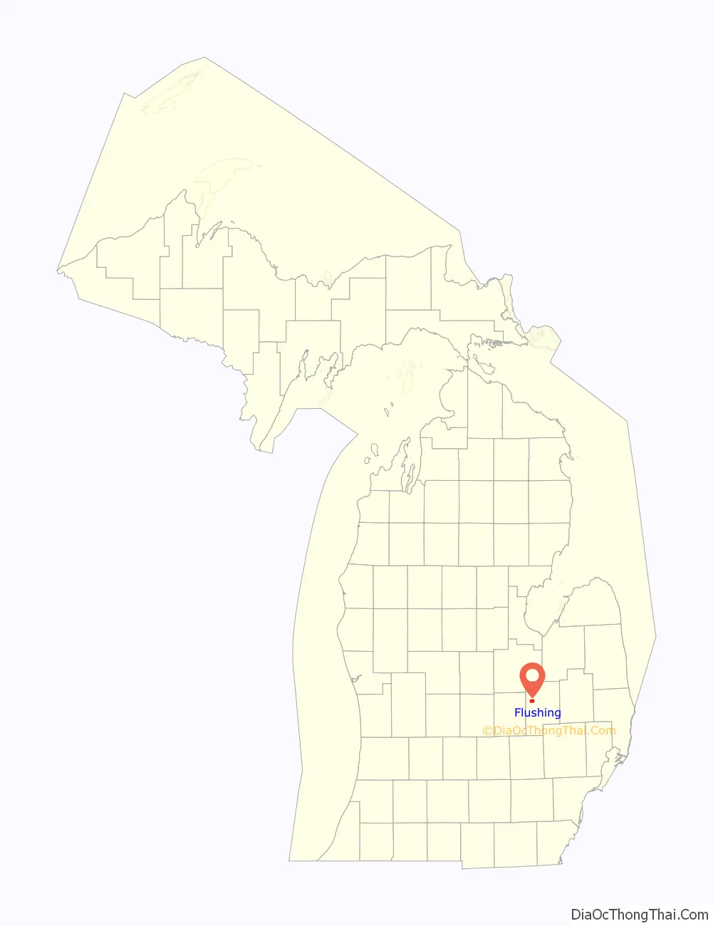
Flushing is a city in Genesee County, Michigan, United States. The population was 8,411 at the 2020 census. Flushing is considered a suburb of Flint. It is situated within the survey area of Flushing Charter Township, but is administratively autonomous.
Flushing originated as a mill town in the mid-1830s. Its location along the Flint River, the county’s largest river, was a decisive factor in its settlement. Water power potential was a significant determinant for the selection of the settlement areas throughout the nineteenth century. In addition to its water power, the area around Flushing was also well suited to agricultural pursuits.
The name Dover originally was selected for the new village until it was discovered that the name already was in use in Lenawee County. Charles Seymour Sr., former resident of Flushing, Long Island, subsequently named the new community after the village in New York State.
| Name: | Flushing city |
|---|---|
| LSAD Code: | 25 |
| LSAD Description: | city (suffix) |
| State: | Michigan |
| County: | Genesee County |
| Incorporated: | 1877 (village) 1964 (city) |
| Elevation: | 699 ft (213 m) |
| Total Area: | 3.73 sq mi (9.67 km²) |
| Land Area: | 3.61 sq mi (9.35 km²) |
| Water Area: | 0.12 sq mi (0.31 km²) 4.49% |
| Total Population: | 8,411 |
| Population Density: | 2,329.27/sq mi (899.26/km²) |
| Area code: | 810 |
| FIPS code: | 2629200 |
| GNISfeature ID: | 0626199 |
| Website: | www.flushingcity.com |
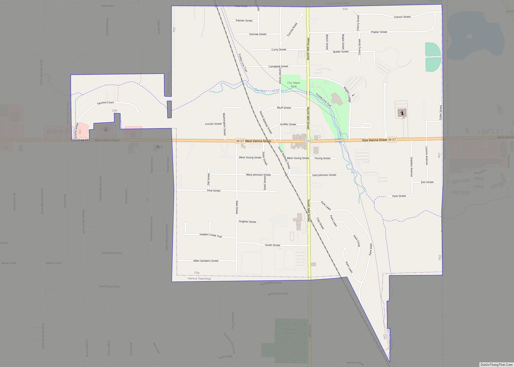
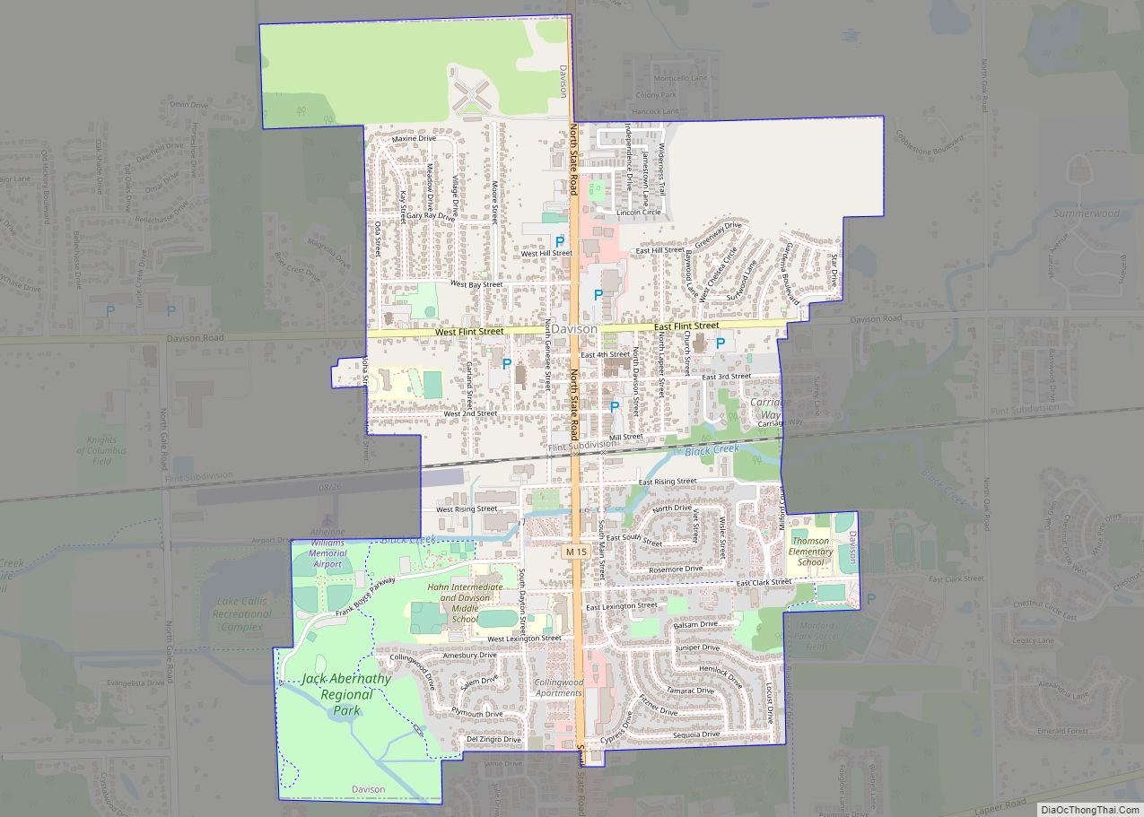
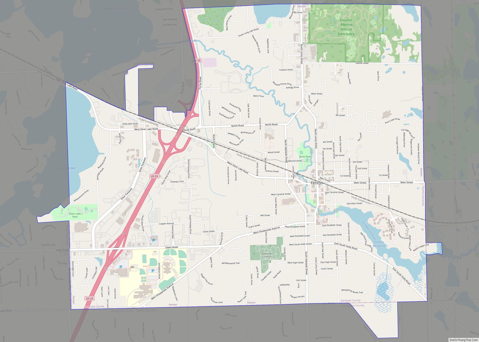
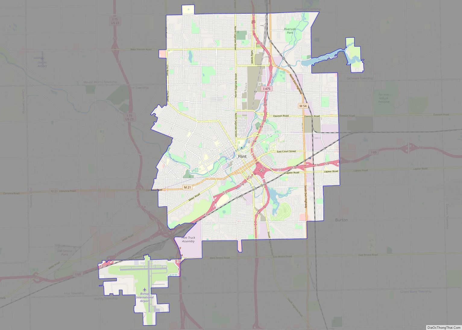
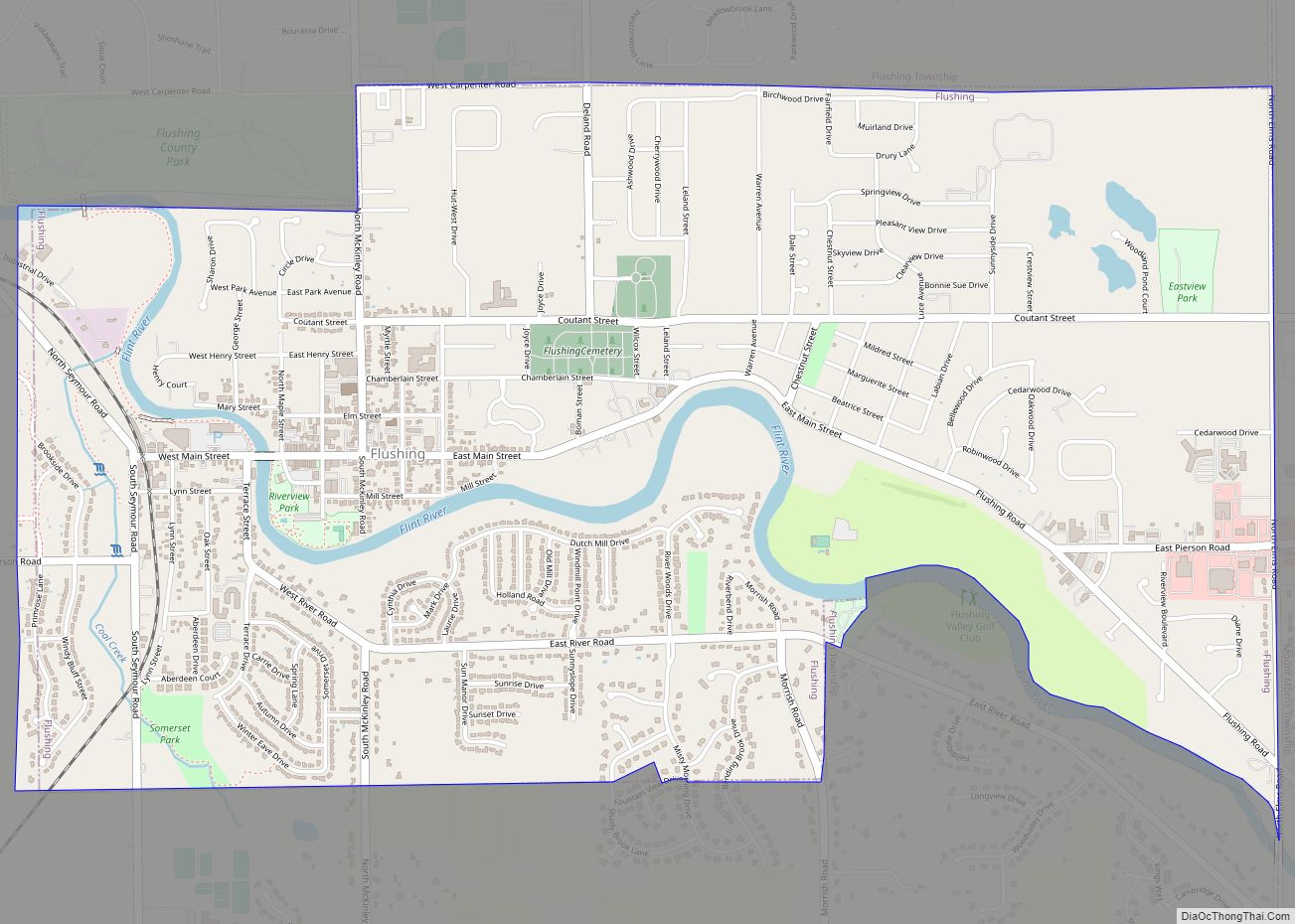
Online Interactive Map
Click on ![]() to view map in "full screen" mode.
to view map in "full screen" mode.
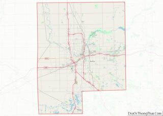
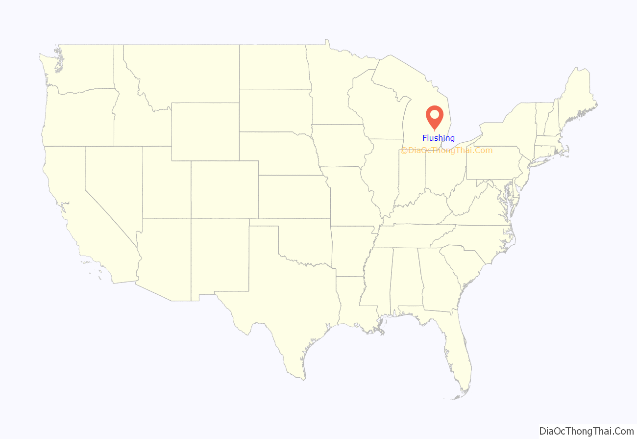
Flushing location map. Where is Flushing city?
History
The earliest known inhabitants of Flushing were the Sauk Indians. Evidence suggesting that the second battle of Skull Island was fought in Flushing, including mass burial mounds, were found along the Flint river near the Bailey farm; now the present day Flushing Valley Golf Club. Mounds were observed in 1833 or 1834 and about 20 mounds in total.
In 1835, Charles Seymour Sr. from New York state came to the Flushing area after purchasing land there. He formed a partnership with Horace Jerome in 1836 who had purchased water rights in the vicinity. In their partnership, Seymour would provide pine timber while Jerome would build a mill. The saw mill was operational in the summer of 1837. Jerome left Flushing after his wildcat bank, the Flint Rapids Bank, failed in 1838. A village plat on sections 26 and 27, bearing the name of Flushing and named after the township in which it was located, was laid out December 3, 1840 by Charles Seymour Sr. In 1843 Charles sold out to his brother James Seymour. James then made an additional plat, 31, in 1847.
in 1850, a flat-bottomed boat established early transportation between Flint and Flushing.
On July 30, 1873, village women formed the Flushing Ladies’ Association.
In 1874, a subscription private fire department, the Wolverine Fire Company, was formed with 35 members and Arza N. Niles as first chief engineer. Wolverine paid for a small engine designed by Captain Haas of Flint of his own design and patent.
Flushing was incorporated as a village on March 21, 1877 with its first election held on May 8, 1877. Oscar F. Clarke was elected as the first village president. After incorporation, the fire company turned over its equipment to the village. In 1878, the Haas engine was instrument in containing a major fire in the business district to just a saloon and hotel.
The Flushing Patrol, the village’s first professional newspaper, was founded on October 18, 1878 by D. C. Ashmun. In 1880 the paper sold for $1.50 per year.
The paper would cost 1 dollar per year. The paper touts “The Interests of Flushing and Vicinity Will Be Observed Herein”. On June 15, 1882, DeWitt C. Ashmun sold his paper, The Flushing Patrol, to Albert E. Ransom who changed its name to “The Flushing Observer”.The Flushing Observer also published its first paper under that name on that same date
The railroad was first brought to Flushing in 1888. Headed by John Ashley, the Toledo and Ann Arbor Railroad connected Flushing to Durand and Saginaw. Construction reached Flushing in July 1888. On Monday, Dec. 17, 1888, the first passenger train arrived from Saginaw. The fare from Flushing to Saginaw was 80 cents. A railroad engine crossed the Flint river for the first time to Hart & Clark mill on February 7, 1889. The line is currently owned by Huron and Eastern Railway, while the restored 1888 depot is now the Flushing Area Museum and Cultural Center.
March 25, 1895 vote passes 215 to 30 for $20,000 bond to build a water works system and electric light plant. Water mains are first installed for use on Nov 1, 1895. Electricity was installed and ready for use on Nov 15, 1895, along with streetlights on Main St. By January 1897 there were 1600 incandescent lamps in the village.
The Hart Flour Mill is destroyed in a fire on March 19, 1918. It was the 3rd Mill on the site and the 3rd to burn. The mill provided electricity until it burned down in 1918, leaving the village without power for 14 months until a new power plant was built.
Main Street was paved in 1920.
In May 1922 the current bridge on Main Street over the Flint river is completed. The bridge is a traditionally composed earth-filled closed spandrel concrete arch bridge built by L. Smith, H. A. and M. C. Nichols of Hastings, Michigan. The bridge was rehabilitated in 1998 adding new walkways and updated guardrails. The first wood bridge was built on this site in 1839. A second wood bridge in 1856. A third wood bridge in 1872 and a double span iron bridge in 1880. The iron bridge was removed in 1921.
Tucker Memorial Pool was dedicated on July 1, 1956. The pool was built with money donated to the City from the will of Max Dealton Tucker who was born in Flushing.
A book by Edmund G. Love titled The Situation in Flushing was published September 1, 1965. Edmund was born in Flushing and moved to Flint when he was 12. The book tells the account of his boyhood in the early 20th century.
Completed in 1975 by Michigan Bell Telephone at a cost of $2.2 million, the now AT&T building sits on the site of the former home of James Seymour, brother of Charles Seymour. The home was built in the 1850s and torn down prior to Bell selecting the site.
On Monday November 27, 2017, the northern loop set of municipalities, including Flushing, began receiving water from the Karegnondi Water Authority pipeline which is treated by the Genesee County Drain Commission Water and Waste Division.
On January 15, 2020, District 2 councilwoman Karianne Martus resigned due to her new job at the Flint Farmers Market. With no decision of the council to fill the vacancy, three more councilors resigned at the beginning of the Covid Pandemic citing “discord”. John Olson, long-time Planning Commission member, was appointed to serve as city councilman (temporary) in late March 2020 by Genesee County Election Commission. City Manager Brad Barrett was terminated April 20, 2020 at the city council meeting citing ethical concerns and Clarence Goodlein was immediately appointed interim City Manager. A special election was held on August 4, 2020 to fill the vacancies. Councilmen Dan Fralick, Eric Johnson, Dane Miller and councilwoman Danielle Smith were each elected to four year terms.
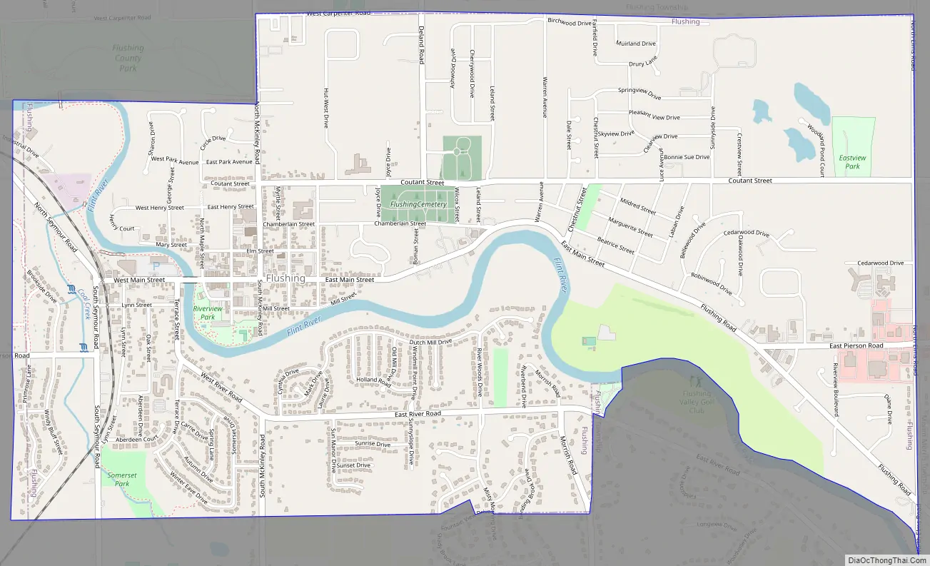
Flushing Road Map
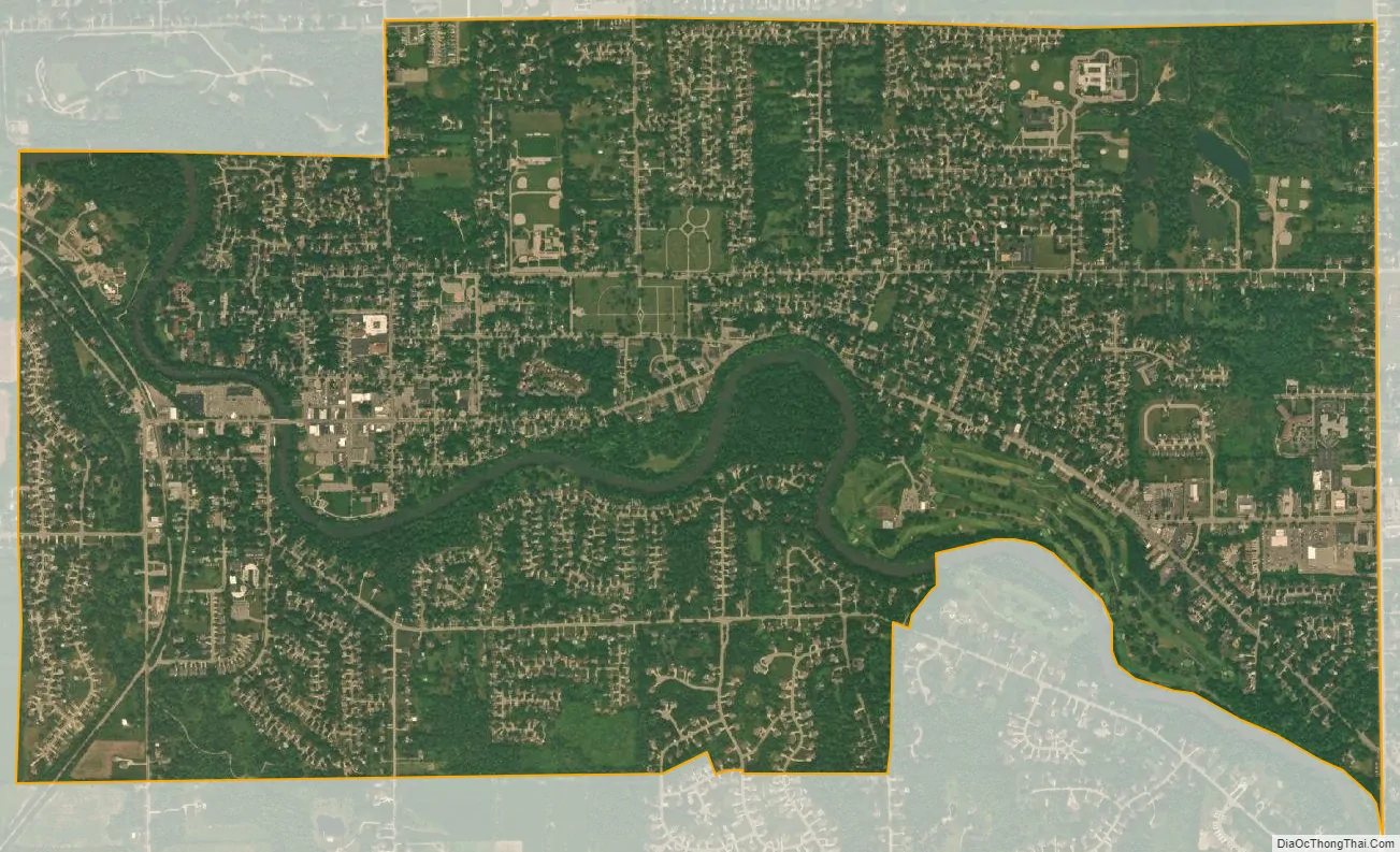
Flushing city Satellite Map
Geography
The Flushing area is dominated by the Flint River Valley. The Flint River flows in a northerly direction along the southern and western portions of the city and continues north bisecting Flushing Township. The valley is characterized by rich sandy loam ideal for the growth of vegetation. As a result, the valley is characterized by dense woodlots containing many varieties of trees and providing scenic and natural settings for the area.
According to the United States Census Bureau, the city has a total area of 3.79 square miles (9.82 km), of which 3.62 square miles (9.38 km) is land and 0.17 square miles (0.44 km) is water.
Neighborhoods
The Main Street Historic District includes buildings on Main St from Maple to 628 (East) Main St and the Flushing Depot at 431 W Main St. Properties in this district are listed on the National Register of Historic Places. 82 structures located on 22.4 acres of land create the district with commercial buildings reflecting ornate Italianate and early twentieth century styles constructed between 1850 and 1918 and residences exhibiting a wide variety of Greek Revival, Italianate, Queen Anne, Colonial Revival, and Bungaloid styles and their vernacular derivatives built from 1850 to 1932. Properties we added as part of the Main Street Historic Commercial District and the Genesee County MRA (Multiple Resource Area).
See also
Map of Michigan State and its subdivision:- Alcona
- Alger
- Allegan
- Alpena
- Antrim
- Arenac
- Baraga
- Barry
- Bay
- Benzie
- Berrien
- Branch
- Calhoun
- Cass
- Charlevoix
- Cheboygan
- Chippewa
- Clare
- Clinton
- Crawford
- Delta
- Dickinson
- Eaton
- Emmet
- Genesee
- Gladwin
- Gogebic
- Grand Traverse
- Gratiot
- Hillsdale
- Houghton
- Huron
- Ingham
- Ionia
- Iosco
- Iron
- Isabella
- Jackson
- Kalamazoo
- Kalkaska
- Kent
- Keweenaw
- Lake
- Lake Hurron
- Lake Michigan
- Lake St. Clair
- Lake Superior
- Lapeer
- Leelanau
- Lenawee
- Livingston
- Luce
- Mackinac
- Macomb
- Manistee
- Marquette
- Mason
- Mecosta
- Menominee
- Midland
- Missaukee
- Monroe
- Montcalm
- Montmorency
- Muskegon
- Newaygo
- Oakland
- Oceana
- Ogemaw
- Ontonagon
- Osceola
- Oscoda
- Otsego
- Ottawa
- Presque Isle
- Roscommon
- Saginaw
- Saint Clair
- Saint Joseph
- Sanilac
- Schoolcraft
- Shiawassee
- Tuscola
- Van Buren
- Washtenaw
- Wayne
- Wexford
- Alabama
- Alaska
- Arizona
- Arkansas
- California
- Colorado
- Connecticut
- Delaware
- District of Columbia
- Florida
- Georgia
- Hawaii
- Idaho
- Illinois
- Indiana
- Iowa
- Kansas
- Kentucky
- Louisiana
- Maine
- Maryland
- Massachusetts
- Michigan
- Minnesota
- Mississippi
- Missouri
- Montana
- Nebraska
- Nevada
- New Hampshire
- New Jersey
- New Mexico
- New York
- North Carolina
- North Dakota
- Ohio
- Oklahoma
- Oregon
- Pennsylvania
- Rhode Island
- South Carolina
- South Dakota
- Tennessee
- Texas
- Utah
- Vermont
- Virginia
- Washington
- West Virginia
- Wisconsin
- Wyoming