Fraser is a city in Macomb County of the U.S. state of Michigan. The population was 14,480 at the 2010 census. The city is part of the Metro Detroit region.
| Name: | Fraser city |
|---|---|
| LSAD Code: | 25 |
| LSAD Description: | city (suffix) |
| State: | Michigan |
| County: | Macomb County |
| Elevation: | 610 ft (186 m) |
| Total Area: | 4.16 sq mi (10.77 km²) |
| Land Area: | 4.14 sq mi (10.73 km²) |
| Water Area: | 0.02 sq mi (0.04 km²) |
| Total Population: | 14,726 |
| Population Density: | 3,556.15/sq mi (1,372.99/km²) |
| Area code: | 586 |
| FIPS code: | 2630420 |
| GNISfeature ID: | 0626432 |
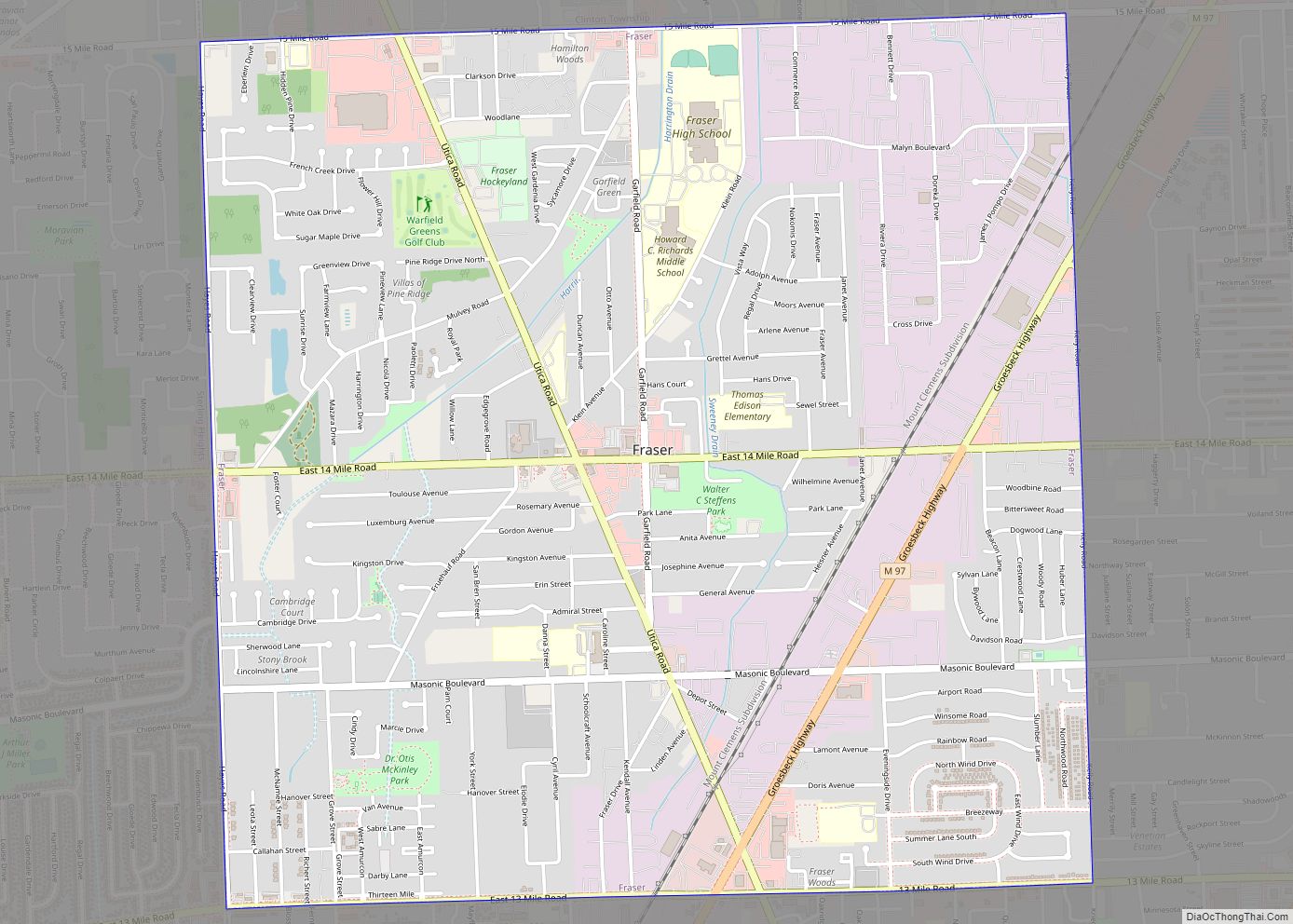
Online Interactive Map
Click on ![]() to view map in "full screen" mode.
to view map in "full screen" mode.
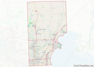
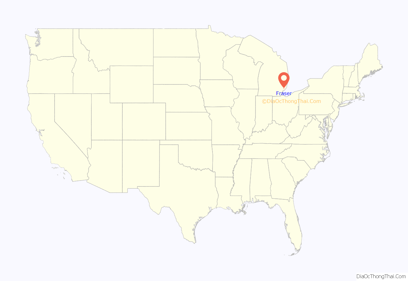
Fraser location map. Where is Fraser city?

History
The Village of Fraser was incorporated by an act of the state legislature in 1894. The city was named for a lawyer from Detroit named Alexander J. Frazer. The City of Fraser was established by home rule charter November 7, 1956, and adopted by the electors on December 26, 1956.
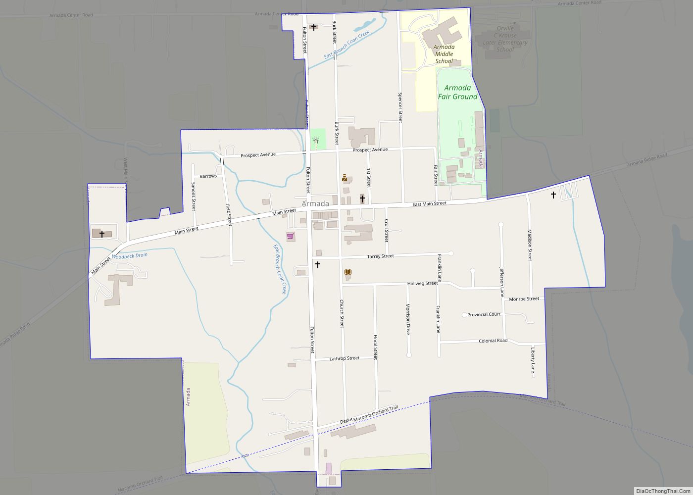
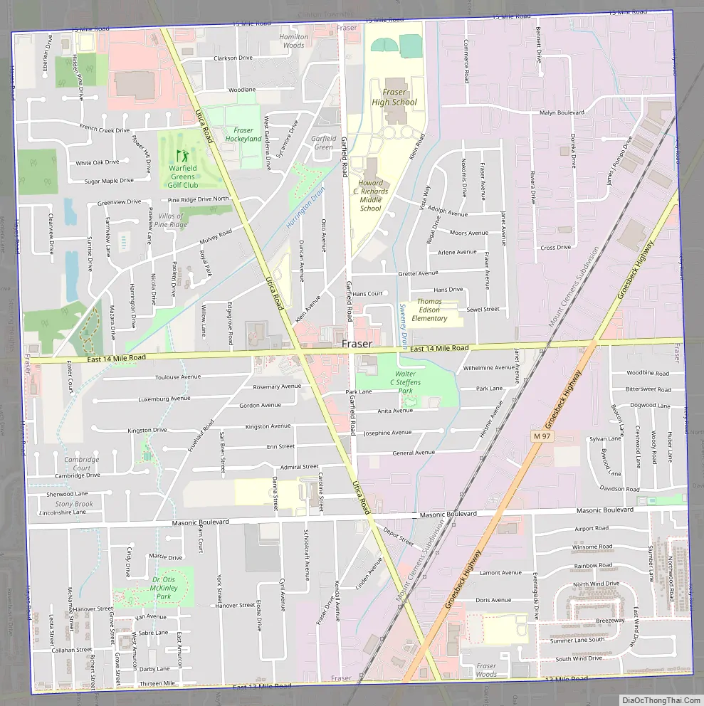
Fraser Road Map
Fraser city Satellite Map

Geography
According to the United States Census Bureau, the city has a total area of 4.16 square miles (10.77 km), of which 4.14 square miles (10.72 km) is land and 0.02 square miles (0.05 km) is water. The city is nearly square, bordered by 15 Mile Road, Kelly Road, 13 Mile Road, and Hayes Road.
See also
Map of Michigan State and its subdivision:- Alcona
- Alger
- Allegan
- Alpena
- Antrim
- Arenac
- Baraga
- Barry
- Bay
- Benzie
- Berrien
- Branch
- Calhoun
- Cass
- Charlevoix
- Cheboygan
- Chippewa
- Clare
- Clinton
- Crawford
- Delta
- Dickinson
- Eaton
- Emmet
- Genesee
- Gladwin
- Gogebic
- Grand Traverse
- Gratiot
- Hillsdale
- Houghton
- Huron
- Ingham
- Ionia
- Iosco
- Iron
- Isabella
- Jackson
- Kalamazoo
- Kalkaska
- Kent
- Keweenaw
- Lake
- Lake Hurron
- Lake Michigan
- Lake St. Clair
- Lake Superior
- Lapeer
- Leelanau
- Lenawee
- Livingston
- Luce
- Mackinac
- Macomb
- Manistee
- Marquette
- Mason
- Mecosta
- Menominee
- Midland
- Missaukee
- Monroe
- Montcalm
- Montmorency
- Muskegon
- Newaygo
- Oakland
- Oceana
- Ogemaw
- Ontonagon
- Osceola
- Oscoda
- Otsego
- Ottawa
- Presque Isle
- Roscommon
- Saginaw
- Saint Clair
- Saint Joseph
- Sanilac
- Schoolcraft
- Shiawassee
- Tuscola
- Van Buren
- Washtenaw
- Wayne
- Wexford
- Alabama
- Alaska
- Arizona
- Arkansas
- California
- Colorado
- Connecticut
- Delaware
- District of Columbia
- Florida
- Georgia
- Hawaii
- Idaho
- Illinois
- Indiana
- Iowa
- Kansas
- Kentucky
- Louisiana
- Maine
- Maryland
- Massachusetts
- Michigan
- Minnesota
- Mississippi
- Missouri
- Montana
- Nebraska
- Nevada
- New Hampshire
- New Jersey
- New Mexico
- New York
- North Carolina
- North Dakota
- Ohio
- Oklahoma
- Oregon
- Pennsylvania
- Rhode Island
- South Carolina
- South Dakota
- Tennessee
- Texas
- Utah
- Vermont
- Virginia
- Washington
- West Virginia
- Wisconsin
- Wyoming