Gaines is a village in Genesee County in the U.S. state of Michigan. The population was 380 at the 2010 census. The village is within Gaines Township.
| Name: | Gaines village |
|---|---|
| LSAD Code: | 47 |
| LSAD Description: | village (suffix) |
| State: | Michigan |
| County: | Genesee County |
| Incorporated: | 1875 |
| Elevation: | 856 ft (261 m) |
| Total Area: | 0.37 sq mi (0.97 km²) |
| Land Area: | 0.37 sq mi (0.97 km²) |
| Water Area: | 0.00 sq mi (0.00 km²) |
| Total Population: | 377 |
| Population Density: | 1,008.02/sq mi (389.59/km²) |
| Area code: | 989 |
| FIPS code: | 2631200 |
| GNISfeature ID: | 0626594 |
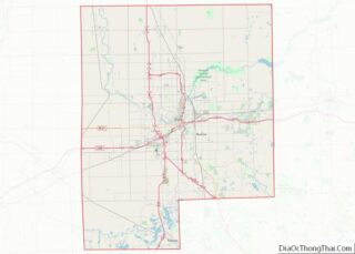
Online Interactive Map
Click on ![]() to view map in "full screen" mode.
to view map in "full screen" mode.
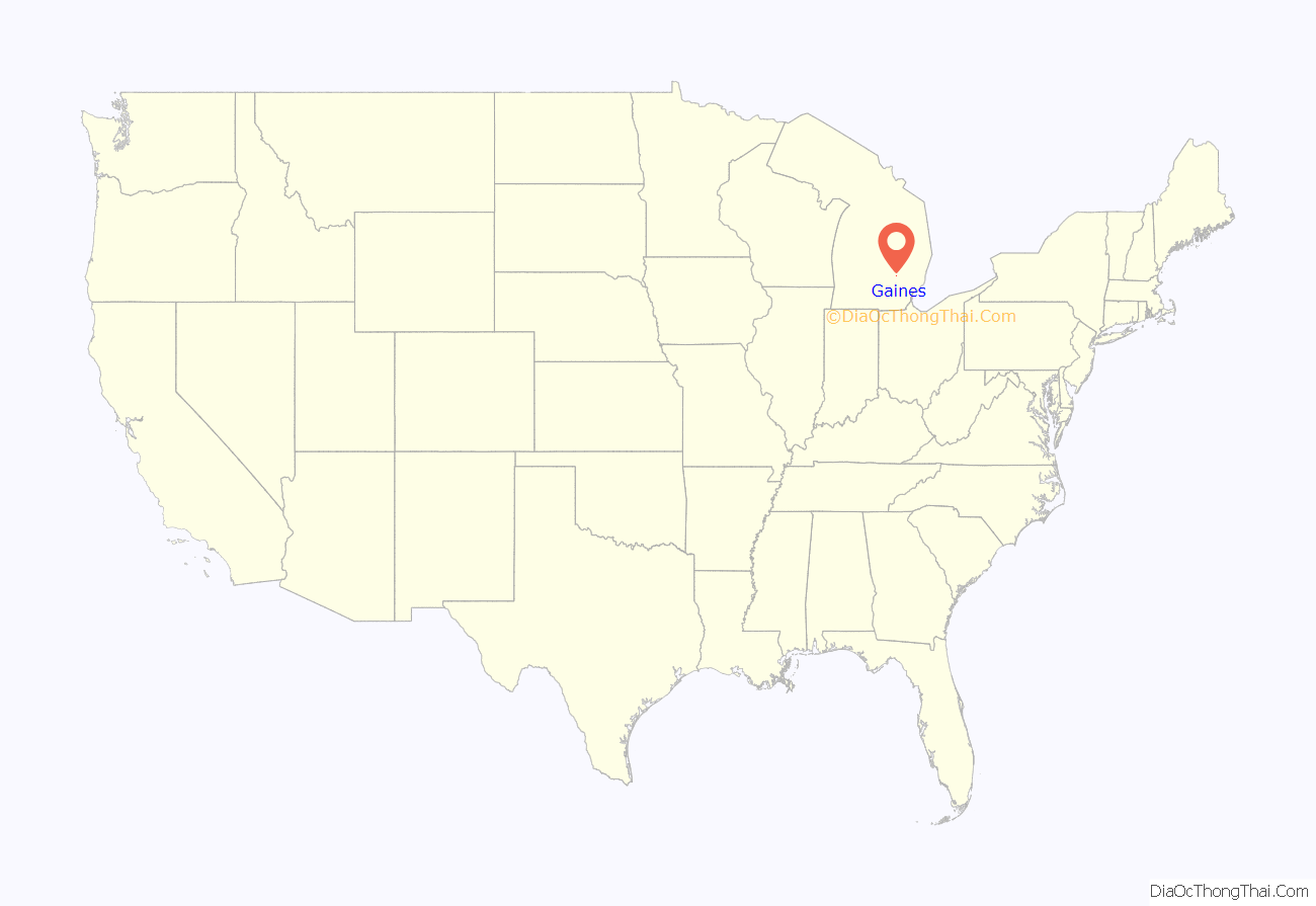
Gaines location map. Where is Gaines village?
History
The Village of Gaines area did not see a settler until 1856. The first passenger train passed through the future village site on July 4, 1856, and a post office, Gaines Station, was established that same year. In 1859, the village was platted. The Grand Trunk Western Railroad depot, built in 1884. The Village of Gaines was incorporated in 1875.
The Gaines Train Station saw its last passengers boarded and disembarked in 1957. In the 1970s, a business occupied the building. After setting vacant for years, the S.O.S. – Save Our Station group of Gaines residents organized in 1992 to restore the station. SOS later incorporated as the nonprofit Gaines Station Incorporated. After $100,000 in repairs in 1997, the station was turned over to the village. The station was then began its use as the smallest branch of he Genesee District Library. On July 15, 2017, a Michigan Historical Marker was unveiled for the station.
In August 2016, the village’s lone police officer retired. By March 9, 2017, the village council formally dissolved the police department and Gaines Township purchased the police car.
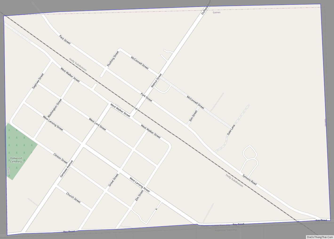
Gaines Road Map
Gaines city Satellite Map
Geography
According to the United States Census Bureau, the village has a total area of 0.37 square miles (0.96 km), all land. It lies within Gaines Township at the border with Argentine Township.
See also
Map of Michigan State and its subdivision:- Alcona
- Alger
- Allegan
- Alpena
- Antrim
- Arenac
- Baraga
- Barry
- Bay
- Benzie
- Berrien
- Branch
- Calhoun
- Cass
- Charlevoix
- Cheboygan
- Chippewa
- Clare
- Clinton
- Crawford
- Delta
- Dickinson
- Eaton
- Emmet
- Genesee
- Gladwin
- Gogebic
- Grand Traverse
- Gratiot
- Hillsdale
- Houghton
- Huron
- Ingham
- Ionia
- Iosco
- Iron
- Isabella
- Jackson
- Kalamazoo
- Kalkaska
- Kent
- Keweenaw
- Lake
- Lake Hurron
- Lake Michigan
- Lake St. Clair
- Lake Superior
- Lapeer
- Leelanau
- Lenawee
- Livingston
- Luce
- Mackinac
- Macomb
- Manistee
- Marquette
- Mason
- Mecosta
- Menominee
- Midland
- Missaukee
- Monroe
- Montcalm
- Montmorency
- Muskegon
- Newaygo
- Oakland
- Oceana
- Ogemaw
- Ontonagon
- Osceola
- Oscoda
- Otsego
- Ottawa
- Presque Isle
- Roscommon
- Saginaw
- Saint Clair
- Saint Joseph
- Sanilac
- Schoolcraft
- Shiawassee
- Tuscola
- Van Buren
- Washtenaw
- Wayne
- Wexford
- Alabama
- Alaska
- Arizona
- Arkansas
- California
- Colorado
- Connecticut
- Delaware
- District of Columbia
- Florida
- Georgia
- Hawaii
- Idaho
- Illinois
- Indiana
- Iowa
- Kansas
- Kentucky
- Louisiana
- Maine
- Maryland
- Massachusetts
- Michigan
- Minnesota
- Mississippi
- Missouri
- Montana
- Nebraska
- Nevada
- New Hampshire
- New Jersey
- New Mexico
- New York
- North Carolina
- North Dakota
- Ohio
- Oklahoma
- Oregon
- Pennsylvania
- Rhode Island
- South Carolina
- South Dakota
- Tennessee
- Texas
- Utah
- Vermont
- Virginia
- Washington
- West Virginia
- Wisconsin
- Wyoming
