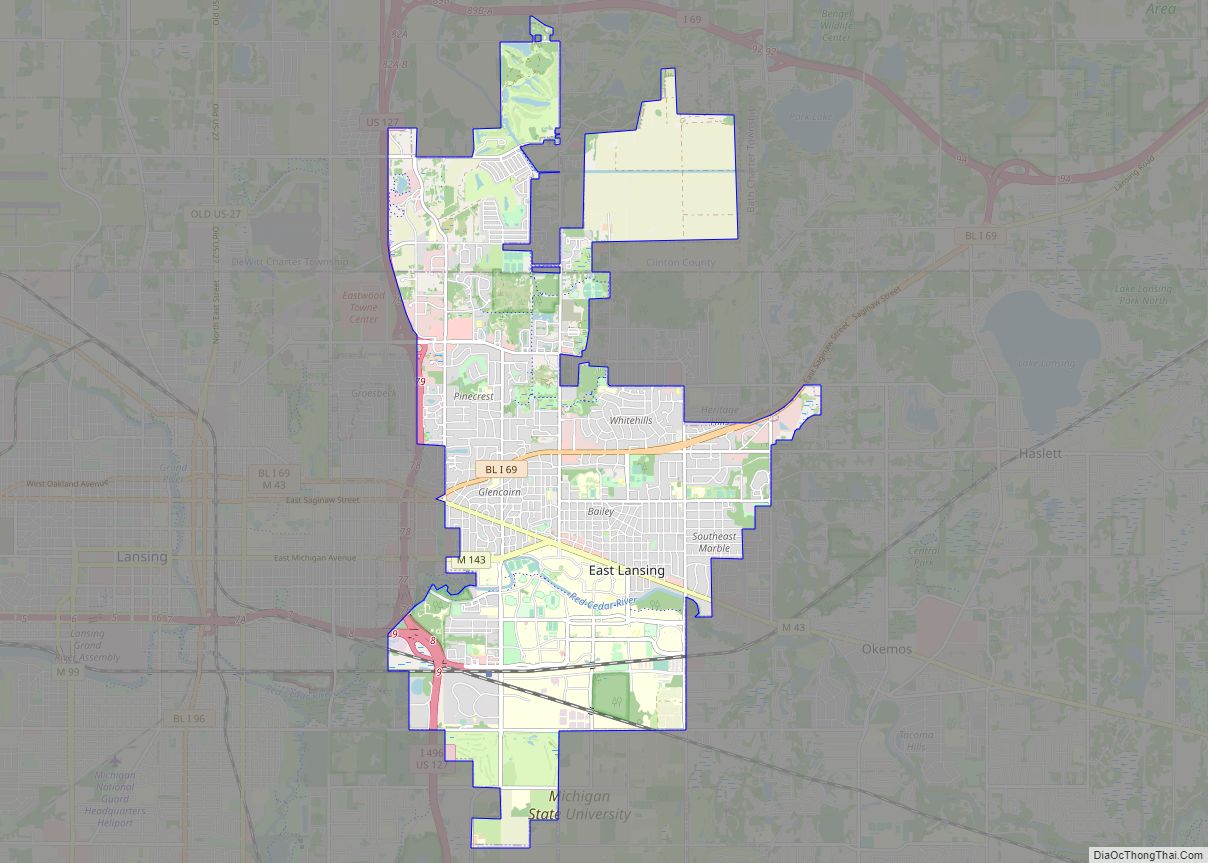
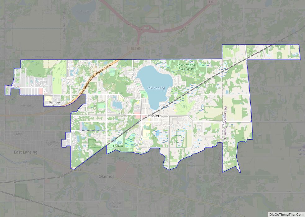
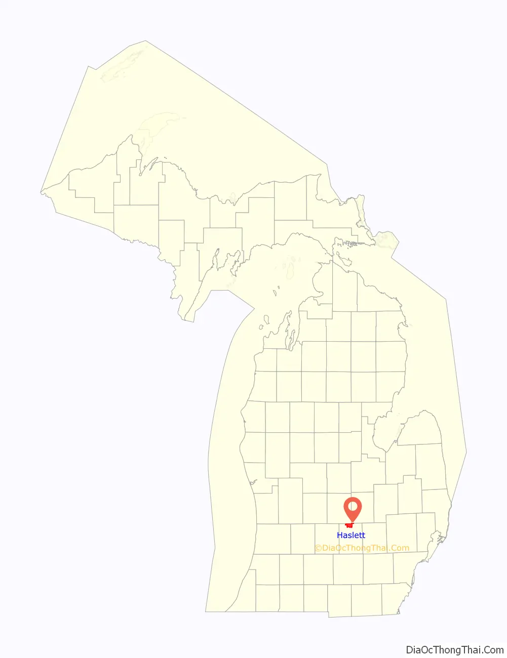
Haslett is a census-designated place (CDP) in Ingham County in the U.S. state of Michigan. It is located mostly within Meridian Charter Township with a small portion extending east into Williamstown Township. The population was 19,220 at the 2010 census. Haslett contains its own school district, as well as its own post office with the 48840 ZIP Code.
| Name: | Haslett CDP |
|---|---|
| LSAD Code: | 57 |
| LSAD Description: | CDP (suffix) |
| State: | Michigan |
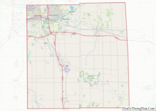
| County: | Ingham County |
| Elevation: | 850 ft (260 m) |
| Total Area: | 16.29 sq mi (42.18 km²) |
| Land Area: | 15.39 sq mi (39.87 km²) |
| Water Area: | 0.90 sq mi (2.32 km²) |
| Total Population: | 19,670 |
| Population Density: | 1,277.94/sq mi (493.41/km²) |
| Area code: | 517 |
| FIPS code: | 2637100 |
| GNISfeature ID: | 2393043 |
Online Interactive Map
Click on ![]() to view map in "full screen" mode.
to view map in "full screen" mode.
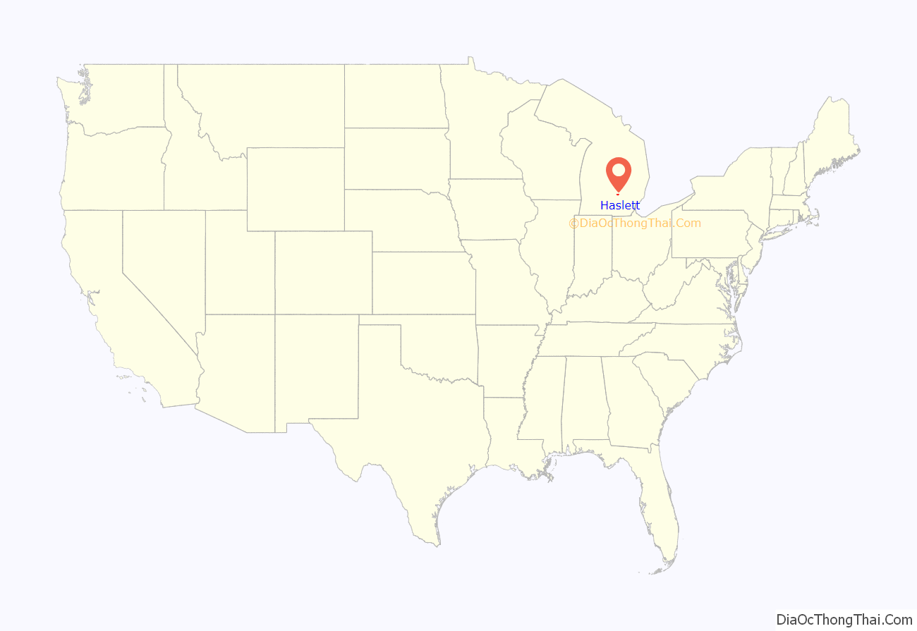
Haslett location map. Where is Haslett CDP?
History
Haslett is named after James and Sarah Haslett, a couple who founded the Nemoka Spiritualist Camp on the shore of Pine Lake (Original name for Lake Lansing). By the later 1800s, thousands of spiritualists descended on Haslett Park for summer meetings, readings, lectures, and seances. Mr. Haslett had hoped to establish his camp as the National Headquarters for the spiritualist movement. His untimely death in 1891 and the decline of the spiritualist movement cause his widow to sell the land to the Haslett Park Association in 1898. The new owners transformed the land into a summer recreational destination, and eventually, a figure-8 wooden roller coaster and other carnival rides were added, thus establishing what became known as Lake Lansing Amusement Park. With the railroad established, the Lansing Trolley line added rails so that people could travel from the state capital, Lansing, to the new recreation center. Holding to this tradition, Haslett is host to Lake Lansing Parks North and South as well as a portion of the Inter-Urban Pathway and numerous other small parks and recreation facilities.
The city of Haslet, Texas, is named after Haslett, Michigan (note that the Texas community is spelled with one ‘t’). The Texas town of Haslet received its name from a railroad worker who relocated to Texas from Michigan in the late 1800s.
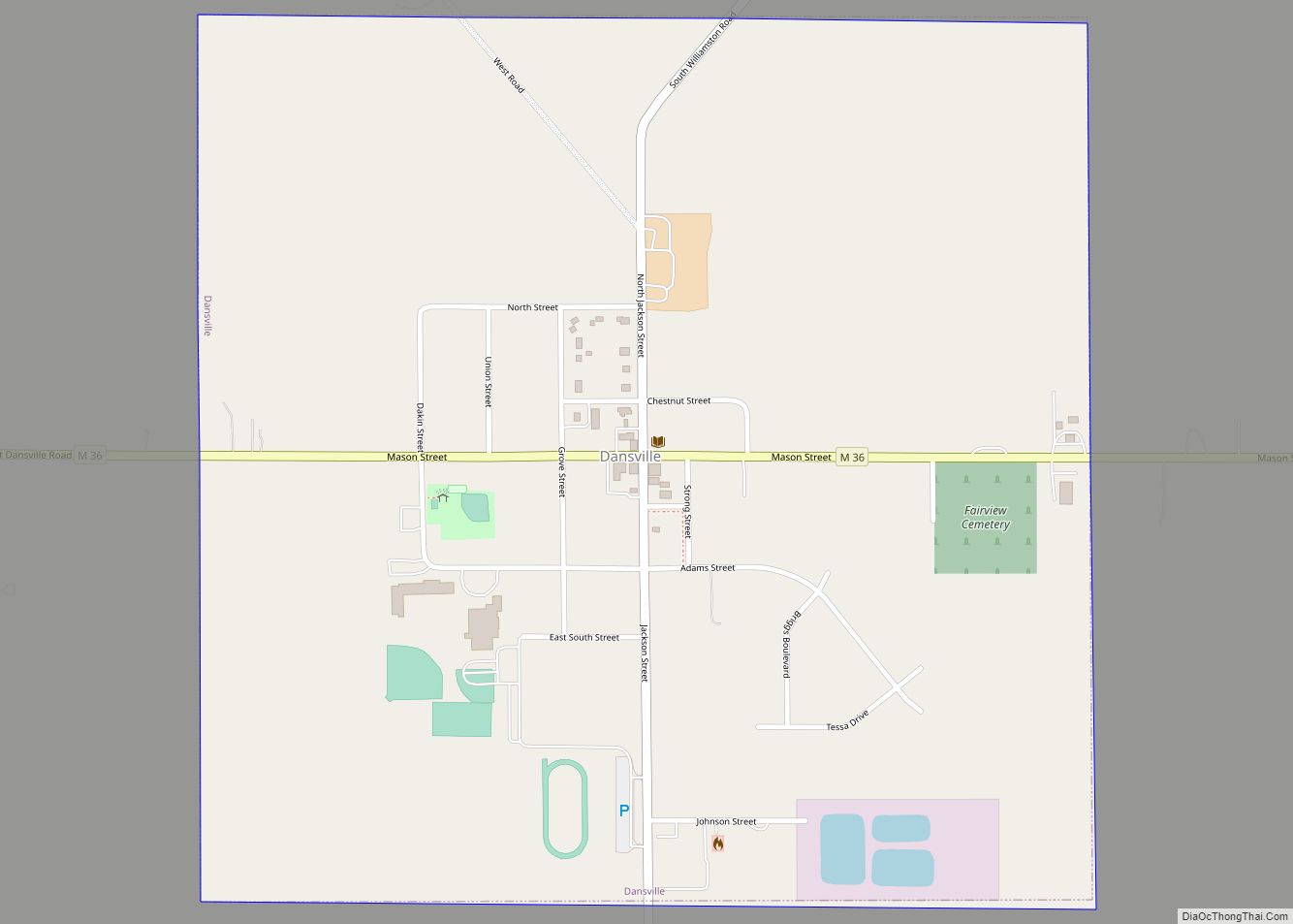
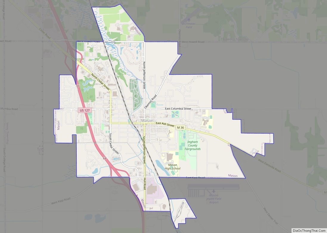
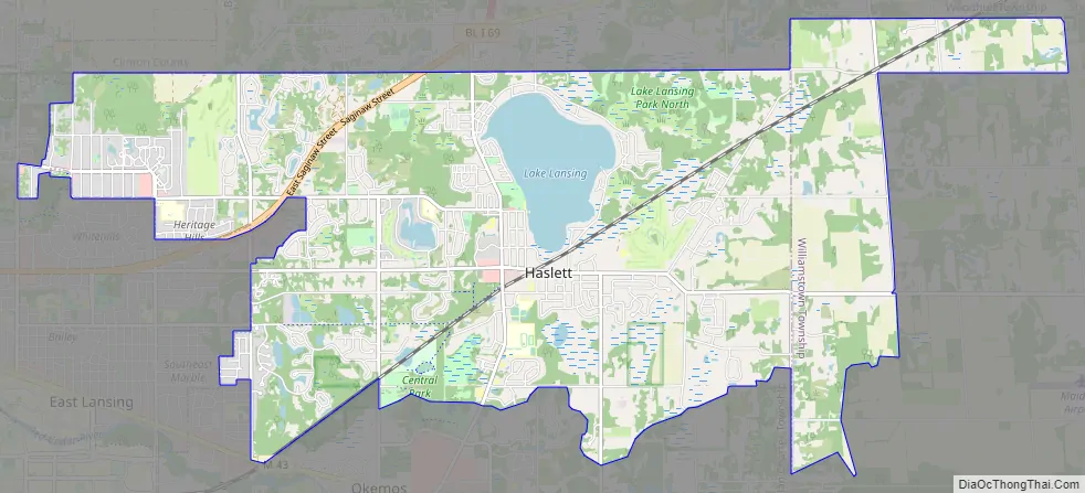
Haslett Road Map
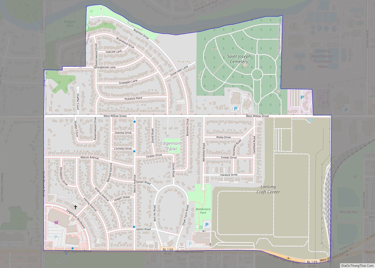
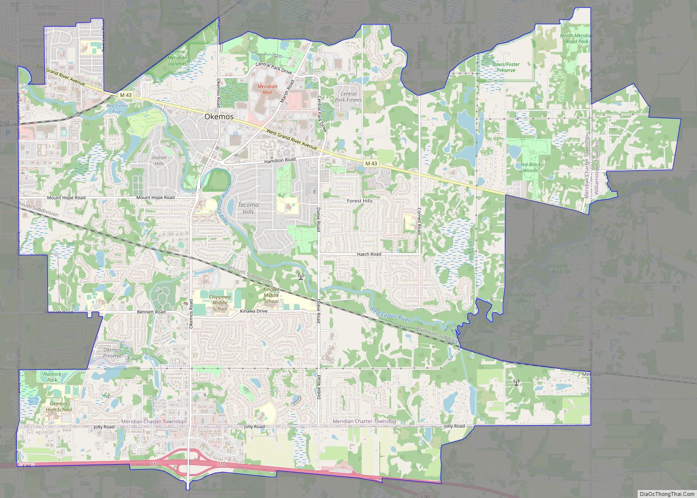
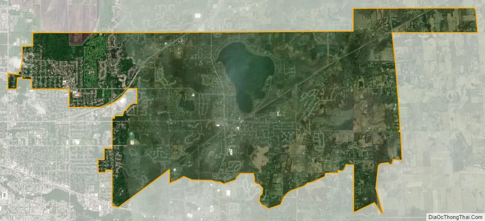
Haslett city Satellite Map
Geography
According to the United States Census Bureau, the CDP has a total area of 16.27 square miles (42.14 km), of which 15.37 square miles (39.81 km) is land and 0.90 square miles (2.33 km) (5.53%) is water.
Haslett is in northern Ingham County and is bordered by the city of East Lansing to the west and the unincorporated community of Okemos to the south. Haslett is bordered to the north by Clinton County and Shiawassee County. Business Loop I-69 (East Saginaw Street) runs through the northwest part of Haslett, leading northeast to Interstate 69 in Clinton County and west into Lansing.
Haslett is most notable for being the home of Lake Lansing. The lake is 461 acres (1.87 km) in size and features two public parks, allowing access to beaches, fishing, and a boat launch. The Michigan State University Sailing Club and Lansing Sailing Club are located on Lake Lansing. From 1934 until 1974, an amusement park operated near the lake and featured a wooden roller coaster at the site that is now Lake Lansing Park South. In 2007, Business Week ranked Haslett 42nd on their list of “Best Places to Raise Your Kids”.
See also
Map of Michigan State and its subdivision:- Alcona
- Alger
- Allegan
- Alpena
- Antrim
- Arenac
- Baraga
- Barry
- Bay
- Benzie
- Berrien
- Branch
- Calhoun
- Cass
- Charlevoix
- Cheboygan
- Chippewa
- Clare
- Clinton
- Crawford
- Delta
- Dickinson
- Eaton
- Emmet
- Genesee
- Gladwin
- Gogebic
- Grand Traverse
- Gratiot
- Hillsdale
- Houghton
- Huron
- Ingham
- Ionia
- Iosco
- Iron
- Isabella
- Jackson
- Kalamazoo
- Kalkaska
- Kent
- Keweenaw
- Lake
- Lake Hurron
- Lake Michigan
- Lake St. Clair
- Lake Superior
- Lapeer
- Leelanau
- Lenawee
- Livingston
- Luce
- Mackinac
- Macomb
- Manistee
- Marquette
- Mason
- Mecosta
- Menominee
- Midland
- Missaukee
- Monroe
- Montcalm
- Montmorency
- Muskegon
- Newaygo
- Oakland
- Oceana
- Ogemaw
- Ontonagon
- Osceola
- Oscoda
- Otsego
- Ottawa
- Presque Isle
- Roscommon
- Saginaw
- Saint Clair
- Saint Joseph
- Sanilac
- Schoolcraft
- Shiawassee
- Tuscola
- Van Buren
- Washtenaw
- Wayne
- Wexford
- Alabama
- Alaska
- Arizona
- Arkansas
- California
- Colorado
- Connecticut
- Delaware
- District of Columbia
- Florida
- Georgia
- Hawaii
- Idaho
- Illinois
- Indiana
- Iowa
- Kansas
- Kentucky
- Louisiana
- Maine
- Maryland
- Massachusetts
- Michigan
- Minnesota
- Mississippi
- Missouri
- Montana
- Nebraska
- Nevada
- New Hampshire
- New Jersey
- New Mexico
- New York
- North Carolina
- North Dakota
- Ohio
- Oklahoma
- Oregon
- Pennsylvania
- Rhode Island
- South Carolina
- South Dakota
- Tennessee
- Texas
- Utah
- Vermont
- Virginia
- Washington
- West Virginia
- Wisconsin
- Wyoming