Holt is an unincorporated community and census-designated place (CDP) in Ingham County in the U.S. state of Michigan. The CDP is located within Delhi Charter Township and occupies a majority of the township. The population was 25,625 at the 2020 census, which is a significant increase from 11,315 at the 2000 census when the CDP area was significantly smaller.
| Name: | Holt CDP |
|---|---|
| LSAD Code: | 57 |
| LSAD Description: | CDP (suffix) |
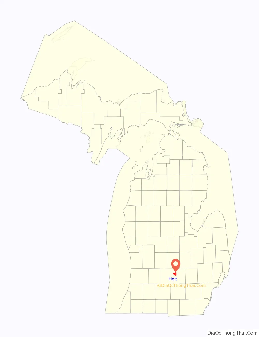
| State: | Michigan |
| County: | Ingham County |
| Elevation: | 892 ft (272 m) |
| Total Area: | 15.86 sq mi (41.07 km²) |
| Land Area: | 15.66 sq mi (40.56 km²) |
| Water Area: | 0.20 sq mi (0.51 km²) |
| Total Population: | 25,625 |
| Population Density: | 1,636.33/sq mi (631.80/km²) |
| Area code: | 517 |
| FIPS code: | 2638780 |
| GNISfeature ID: | 2393053 |
| Website: | www.delhitownship.com |
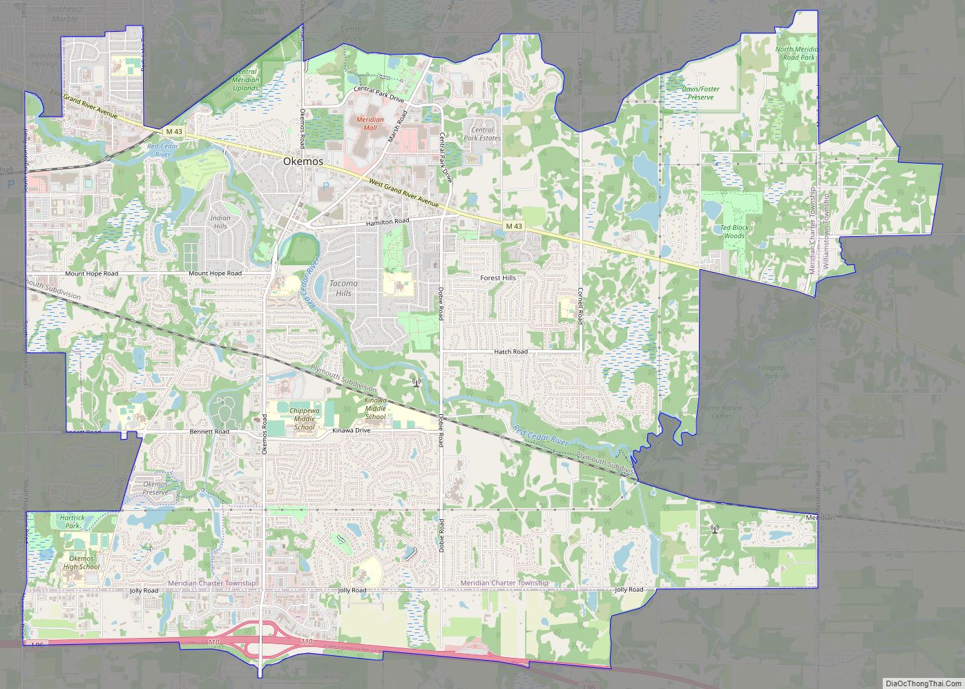
Online Interactive Map
Click on ![]() to view map in "full screen" mode.
to view map in "full screen" mode.
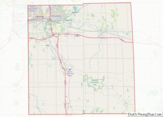
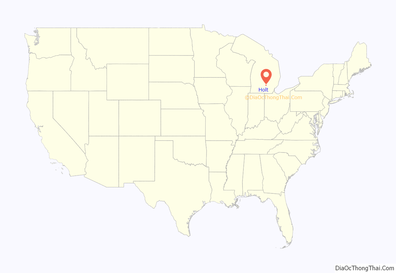
Holt location map. Where is Holt CDP?
History
The first permanent settlers of Delhi Township, John Norris and Fred Luther, arrived in 1837. In 1850, 402 settlers resided in the township. By 1857, Delhi Center (now Holt) had a post office, hotel, tavern, and several other businesses. The post office at Delhi Center was renamed “Holt” in 1860 to prevent confusion with Delhi Mills in Washtenaw County. Joseph Holt was the U.S. Postmaster General during that time.
The northern part of Holt was originally not part of the community and was a separate area known as “Five Corners” or “North Holt”.
Holt Road Map
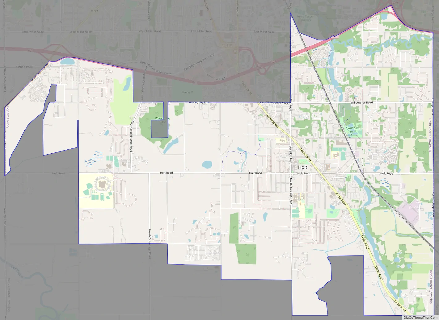
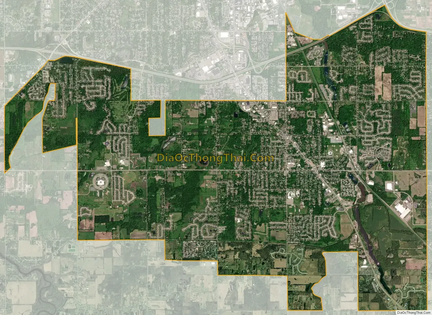
Holt city Satellite Map
Geography
According to the United States Census Bureau, the CDP has a total area of 15.87 square miles (41.10 km), of which 15.67 square miles (40.59 km) is land and 0.20 square miles (0.52 km) (1.26%) is water. Holt is the second most-populated CDP (after Forest Hills) and the fifth largest by area in the state of Michigan.
The community is south of Lansing, just south of I-96 between US-127 and M-99. The city of Mason is about 6 miles (10 km) southeast, and the village of Dimondale is about 6 miles (10 km) west.
Holt is home to an ancient glacial esker. This esker, the longest in Michigan at roughly 20 miles (32 km), can be traced from south Lansing through Holt to just beyond Mason.
See also
Map of Michigan State and its subdivision:- Alcona
- Alger
- Allegan
- Alpena
- Antrim
- Arenac
- Baraga
- Barry
- Bay
- Benzie
- Berrien
- Branch
- Calhoun
- Cass
- Charlevoix
- Cheboygan
- Chippewa
- Clare
- Clinton
- Crawford
- Delta
- Dickinson
- Eaton
- Emmet
- Genesee
- Gladwin
- Gogebic
- Grand Traverse
- Gratiot
- Hillsdale
- Houghton
- Huron
- Ingham
- Ionia
- Iosco
- Iron
- Isabella
- Jackson
- Kalamazoo
- Kalkaska
- Kent
- Keweenaw
- Lake
- Lake Hurron
- Lake Michigan
- Lake St. Clair
- Lake Superior
- Lapeer
- Leelanau
- Lenawee
- Livingston
- Luce
- Mackinac
- Macomb
- Manistee
- Marquette
- Mason
- Mecosta
- Menominee
- Midland
- Missaukee
- Monroe
- Montcalm
- Montmorency
- Muskegon
- Newaygo
- Oakland
- Oceana
- Ogemaw
- Ontonagon
- Osceola
- Oscoda
- Otsego
- Ottawa
- Presque Isle
- Roscommon
- Saginaw
- Saint Clair
- Saint Joseph
- Sanilac
- Schoolcraft
- Shiawassee
- Tuscola
- Van Buren
- Washtenaw
- Wayne
- Wexford
- Alabama
- Alaska
- Arizona
- Arkansas
- California
- Colorado
- Connecticut
- Delaware
- District of Columbia
- Florida
- Georgia
- Hawaii
- Idaho
- Illinois
- Indiana
- Iowa
- Kansas
- Kentucky
- Louisiana
- Maine
- Maryland
- Massachusetts
- Michigan
- Minnesota
- Mississippi
- Missouri
- Montana
- Nebraska
- Nevada
- New Hampshire
- New Jersey
- New Mexico
- New York
- North Carolina
- North Dakota
- Ohio
- Oklahoma
- Oregon
- Pennsylvania
- Rhode Island
- South Carolina
- South Dakota
- Tennessee
- Texas
- Utah
- Vermont
- Virginia
- Washington
- West Virginia
- Wisconsin
- Wyoming