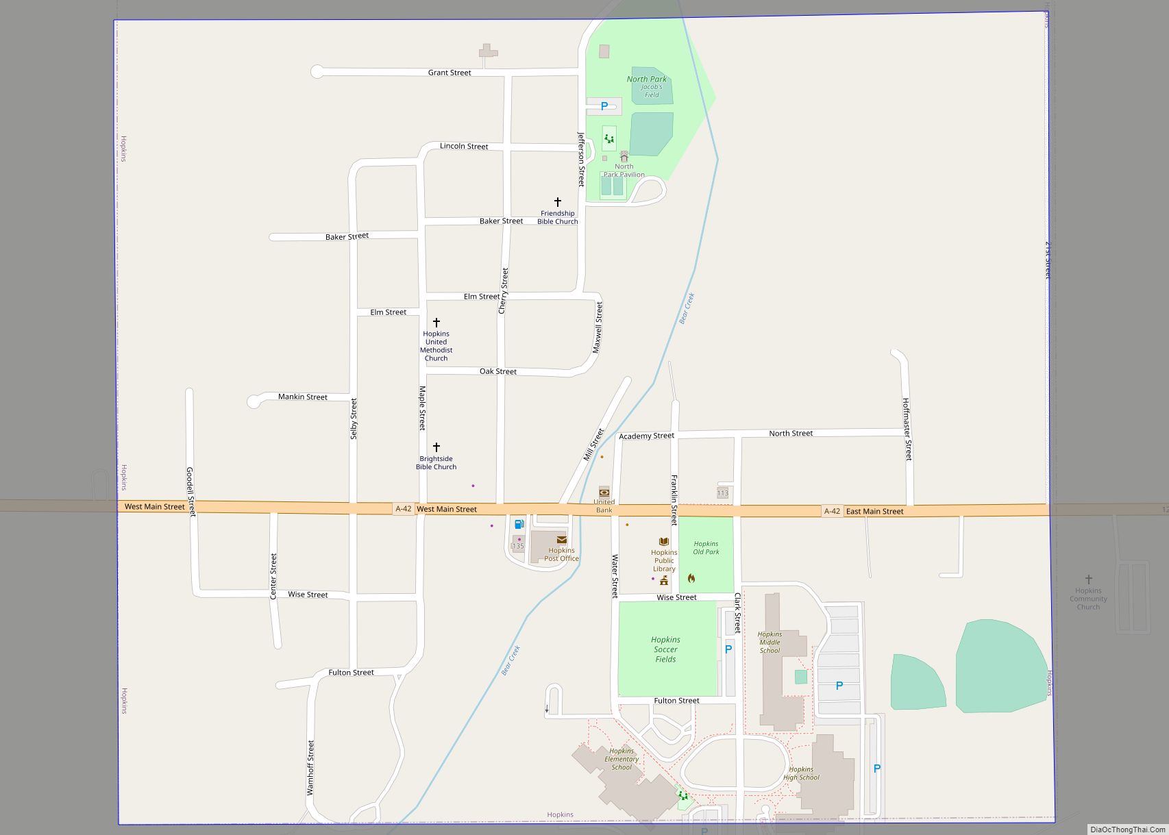
Hopkins, formerly Hopkins Station, is a village within Hopkins Township in Allegan County in the U.S. state of Michigan. The population was 610 at the 2010 census.
| Name: | Hopkins village |
|---|---|
| LSAD Code: | 47 |
| LSAD Description: | village (suffix) |
| State: | Michigan |
| County: | Allegan County |
| Elevation: | 709 ft (216 m) |
| Total Area: | 0.48 sq mi (1.24 km²) |
| Land Area: | 0.48 sq mi (1.24 km²) |
| Water Area: | 0.00 sq mi (0.00 km²) |
| Total Population: | 615 |
| Population Density: | 1,283.92/sq mi (496.24/km²) |
| ZIP code: | 49328 |
| Area code: | 269 |
| FIPS code: | 2639180 |
| GNISfeature ID: | 0628573 |
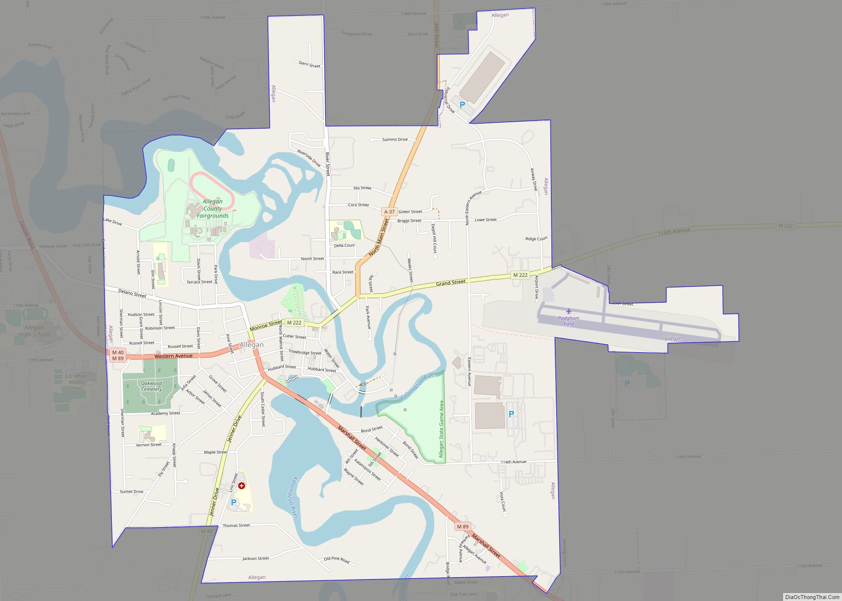
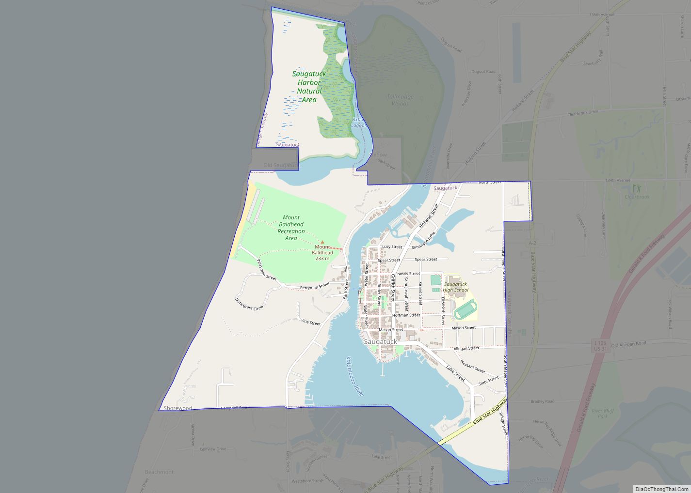
Online Interactive Map
Click on ![]() to view map in "full screen" mode.
to view map in "full screen" mode.
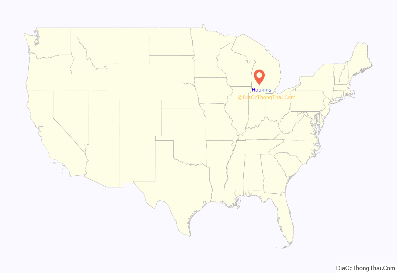
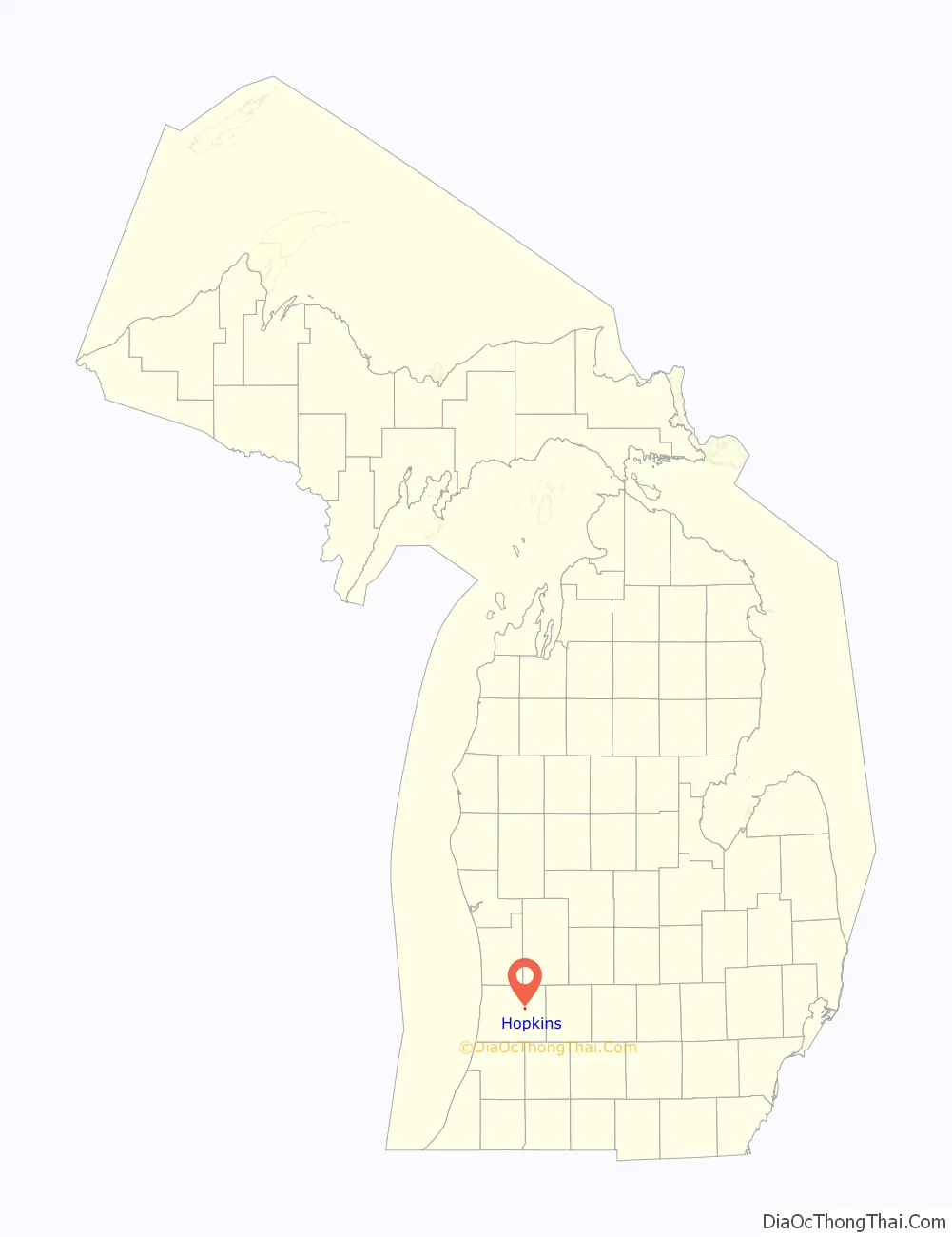
Hopkins location map. Where is Hopkins village?
History
In 1854, John Hoffmaster settled here. On May 20, 1854, the Hopkins post office was opened with Erastus Congdon as its first postmaster. The Hopkins Station post office opened on March 28, 1870, with postmaster Henry F. Guyot. Hopkins Station was the name of the railroad depot opened in 1874. Hoffmaster became the first depot master and platted the village. On May 31, 1904, the Hopkins post office was closed. On June 6, 1906, the Hopkins Station post office was shortened to just Hopkins.
Hopkins was incorporated as a village in 1920. On January 31, 1929, Claude B. Hoffmaster became postmaster.
Hopkins Road Map
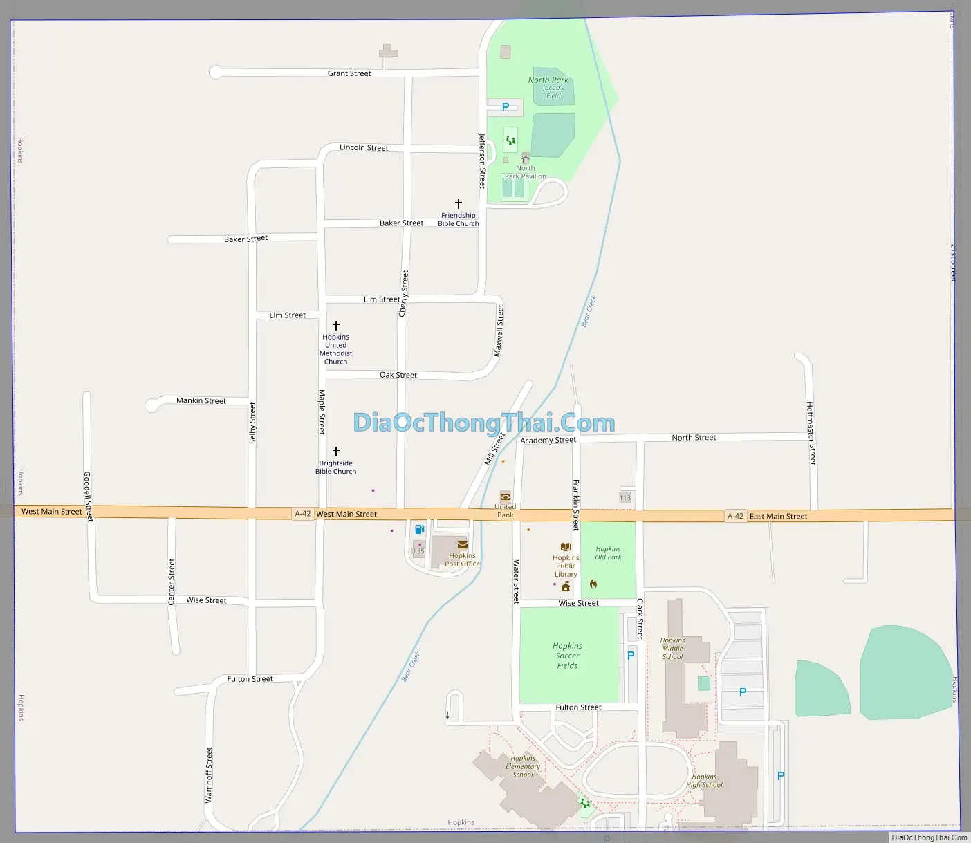
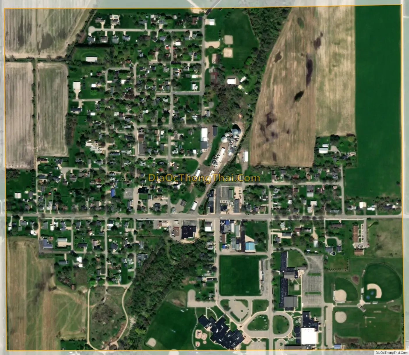
Hopkins city Satellite Map
Geography
According to the United States Census Bureau, the village has a total area of 0.48 square miles (1.24 km), all land.
See also
Map of Michigan State and its subdivision:- Alcona
- Alger
- Allegan
- Alpena
- Antrim
- Arenac
- Baraga
- Barry
- Bay
- Benzie
- Berrien
- Branch
- Calhoun
- Cass
- Charlevoix
- Cheboygan
- Chippewa
- Clare
- Clinton
- Crawford
- Delta
- Dickinson
- Eaton
- Emmet
- Genesee
- Gladwin
- Gogebic
- Grand Traverse
- Gratiot
- Hillsdale
- Houghton
- Huron
- Ingham
- Ionia
- Iosco
- Iron
- Isabella
- Jackson
- Kalamazoo
- Kalkaska
- Kent
- Keweenaw
- Lake
- Lake Hurron
- Lake Michigan
- Lake St. Clair
- Lake Superior
- Lapeer
- Leelanau
- Lenawee
- Livingston
- Luce
- Mackinac
- Macomb
- Manistee
- Marquette
- Mason
- Mecosta
- Menominee
- Midland
- Missaukee
- Monroe
- Montcalm
- Montmorency
- Muskegon
- Newaygo
- Oakland
- Oceana
- Ogemaw
- Ontonagon
- Osceola
- Oscoda
- Otsego
- Ottawa
- Presque Isle
- Roscommon
- Saginaw
- Saint Clair
- Saint Joseph
- Sanilac
- Schoolcraft
- Shiawassee
- Tuscola
- Van Buren
- Washtenaw
- Wayne
- Wexford
- Alabama
- Alaska
- Arizona
- Arkansas
- California
- Colorado
- Connecticut
- Delaware
- District of Columbia
- Florida
- Georgia
- Hawaii
- Idaho
- Illinois
- Indiana
- Iowa
- Kansas
- Kentucky
- Louisiana
- Maine
- Maryland
- Massachusetts
- Michigan
- Minnesota
- Mississippi
- Missouri
- Montana
- Nebraska
- Nevada
- New Hampshire
- New Jersey
- New Mexico
- New York
- North Carolina
- North Dakota
- Ohio
- Oklahoma
- Oregon
- Pennsylvania
- Rhode Island
- South Carolina
- South Dakota
- Tennessee
- Texas
- Utah
- Vermont
- Virginia
- Washington
- West Virginia
- Wisconsin
- Wyoming