Keego Harbor is a city in Oakland County in the U.S. state of Michigan. The population was 2,970 at the 2010 census. With a land area of 0.50 square miles (1.29 km), Keego Harbor is the third-smallest city by land area in the state of Michigan after the cities of Petersburg and Clarkston.
| Name: | Keego Harbor city |
|---|---|
| LSAD Code: | 25 |
| LSAD Description: | city (suffix) |
| State: | Michigan |
| County: | Oakland County |
| Incorporated: | 1955 |
| Elevation: | 932 ft (284 m) |
| Land Area: | 0.49 sq mi (1.28 km²) |
| Water Area: | 0.07 sq mi (0.19 km²) |
| Population Density: | 5,583.84/sq mi (2,153.87/km²) |
| Area code: | 248 |
| FIPS code: | 2642460 |
| GNISfeature ID: | 0629495 |
Online Interactive Map
Click on ![]() to view map in "full screen" mode.
to view map in "full screen" mode.
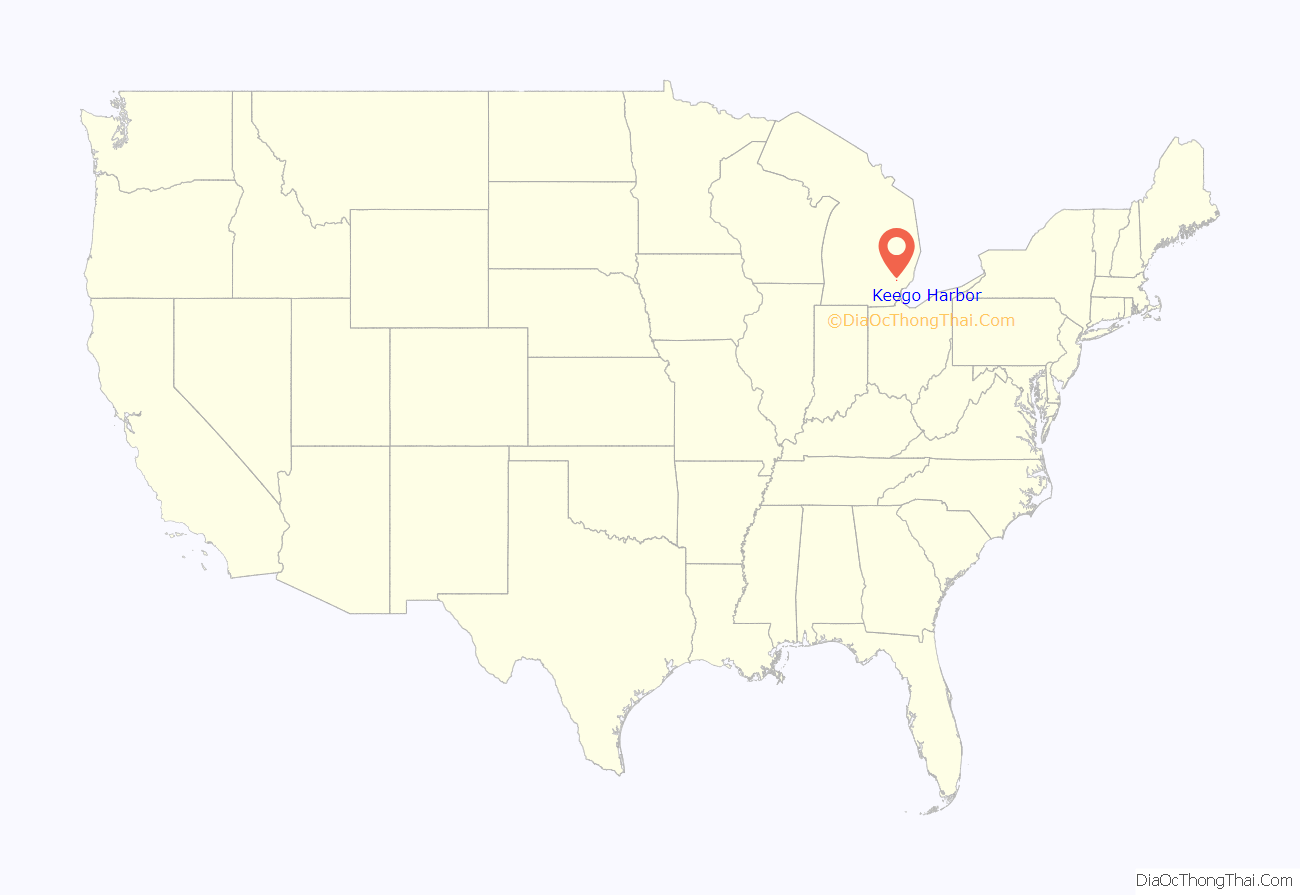
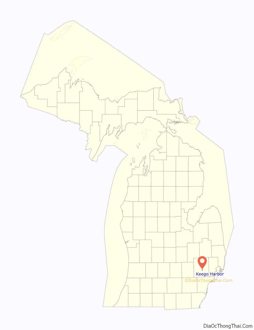
Keego Harbor location map. Where is Keego Harbor city?
History
The first non-native settlers to the area arrived between 1825 and 1830. Cass Lake drew many wealthy residents to purchase land along the lake for vacationing. In 1890, a railway line was built through Keego Harbor to connect to Detroit and Pontiac, making the area much more accessible. At the turn of the century, a prominent Pontiac lawyer, Joseph E. Sawyer, purchased and platted land just to the southwest along Orchard Lake. He built a canal to connect the smaller Dollar Lake to Cass Lake and declared the area to be a harbor on the eastern edge of Cass Lake. He named the area Keego, which was an Ojibwe word meaning “fish” from the poem The Song of Hiawatha. The community was originally part of West Bloomfield Township before incorporating as an independent city in 1955.
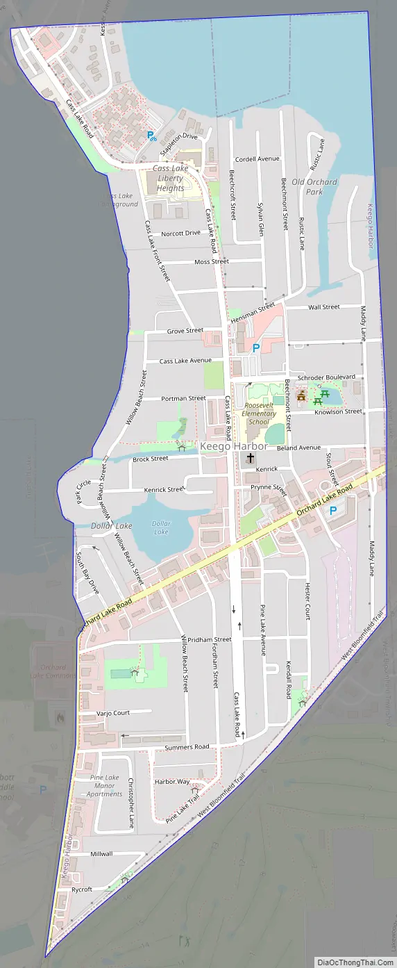
Keego Harbor Road Map
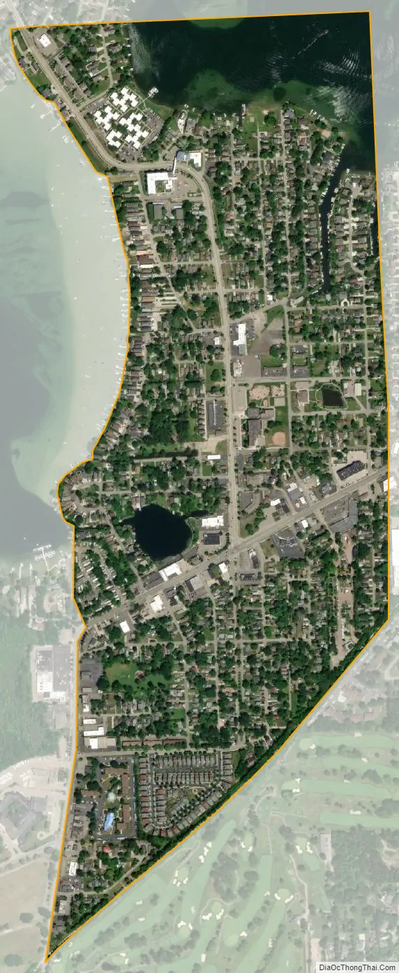
Keego Harbor city Satellite Map
Geography
According to the United States Census Bureau, the city has a total area of 0.55 square miles (1.42 km), of which 0.50 square miles (1.29 km) is land and 0.05 square miles (0.13 km) (9.09%) is water.
The small Dollar Lake and canal remain within the city of Keego Harbor. The city is on the eastern shores of Cass Lake and is surrounded by Sylvan Lake on the east, Orchard Lake Village on the southwest, Waterford Township on the north, and West Bloomfield Township on the south and northwest.
See also
Map of Michigan State and its subdivision:- Alcona
- Alger
- Allegan
- Alpena
- Antrim
- Arenac
- Baraga
- Barry
- Bay
- Benzie
- Berrien
- Branch
- Calhoun
- Cass
- Charlevoix
- Cheboygan
- Chippewa
- Clare
- Clinton
- Crawford
- Delta
- Dickinson
- Eaton
- Emmet
- Genesee
- Gladwin
- Gogebic
- Grand Traverse
- Gratiot
- Hillsdale
- Houghton
- Huron
- Ingham
- Ionia
- Iosco
- Iron
- Isabella
- Jackson
- Kalamazoo
- Kalkaska
- Kent
- Keweenaw
- Lake
- Lake Hurron
- Lake Michigan
- Lake St. Clair
- Lake Superior
- Lapeer
- Leelanau
- Lenawee
- Livingston
- Luce
- Mackinac
- Macomb
- Manistee
- Marquette
- Mason
- Mecosta
- Menominee
- Midland
- Missaukee
- Monroe
- Montcalm
- Montmorency
- Muskegon
- Newaygo
- Oakland
- Oceana
- Ogemaw
- Ontonagon
- Osceola
- Oscoda
- Otsego
- Ottawa
- Presque Isle
- Roscommon
- Saginaw
- Saint Clair
- Saint Joseph
- Sanilac
- Schoolcraft
- Shiawassee
- Tuscola
- Van Buren
- Washtenaw
- Wayne
- Wexford
- Alabama
- Alaska
- Arizona
- Arkansas
- California
- Colorado
- Connecticut
- Delaware
- District of Columbia
- Florida
- Georgia
- Hawaii
- Idaho
- Illinois
- Indiana
- Iowa
- Kansas
- Kentucky
- Louisiana
- Maine
- Maryland
- Massachusetts
- Michigan
- Minnesota
- Mississippi
- Missouri
- Montana
- Nebraska
- Nevada
- New Hampshire
- New Jersey
- New Mexico
- New York
- North Carolina
- North Dakota
- Ohio
- Oklahoma
- Oregon
- Pennsylvania
- Rhode Island
- South Carolina
- South Dakota
- Tennessee
- Texas
- Utah
- Vermont
- Virginia
- Washington
- West Virginia
- Wisconsin
- Wyoming


