Lake Fenton is a census-designated place (CDP) in Fenton Charter Township, Genesee County in the U.S. state of Michigan. As of the 2010 census the population was 5,559, up from 4,876 at the 2000 census. The CDP includes the unincorporated communities of Bayport Park and Lakeside.
The Lake Fenton Community Schools district overlaps a portion of this and adjacent areas. The school district and community are named after Lake Fenton, formerly known as Long Lake. A community was platted as “Mount Pleasant” by John Cook in 1840, with a second plat added in 1845. The name was changed to “Long Lake” in 1850, and a post office with that name opened on March 6, 1851. The lake was subsequently renamed “Lake Fenton”, and the platted settlement became extinct. In 1932, the United States Board on Geographic Names decided on “Lake Fenton” as the official name of the lake.
Astronaut Michael J. Bloomfield grew up in Lake Fenton (his address was officially Linden, Michigan, and he was born in Flint).
| Name: | Lake Fenton CDP |
|---|---|
| LSAD Code: | 57 |
| LSAD Description: | CDP (suffix) |
| State: | Michigan |
| County: | Genesee County |
| Elevation: | 879 ft (268 m) |
| Total Area: | 7.21 sq mi (18.66 km²) |
| Land Area: | 5.52 sq mi (14.29 km²) |
| Water Area: | 1.69 sq mi (4.38 km²) 23.51% |
| Total Population: | 5,905 |
| Population Density: | 1,070.52/sq mi (413.36/km²) |
| Area code: | 810 |
| FIPS code: | 2644520 |
| GNISfeature ID: | 1867319 |
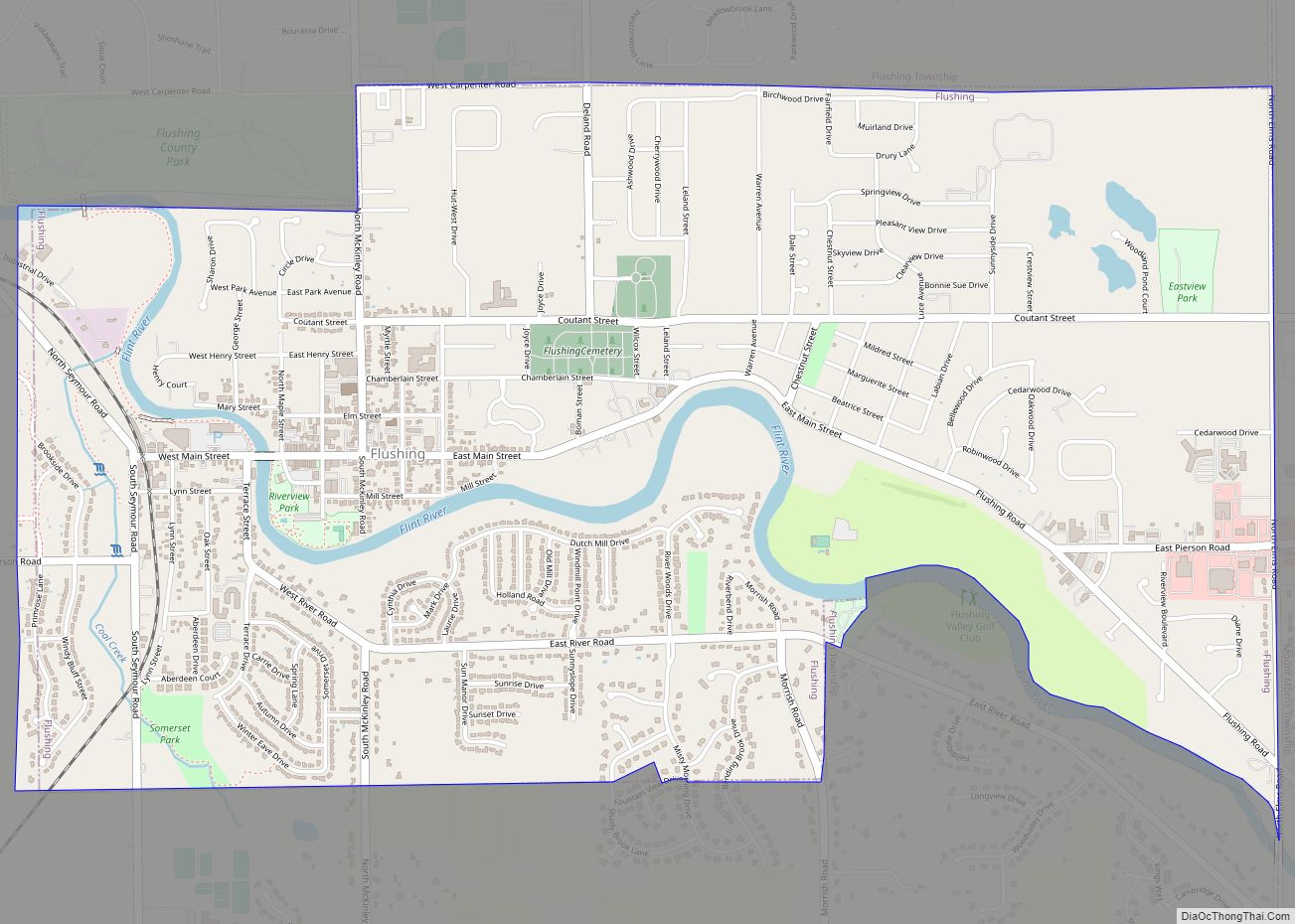
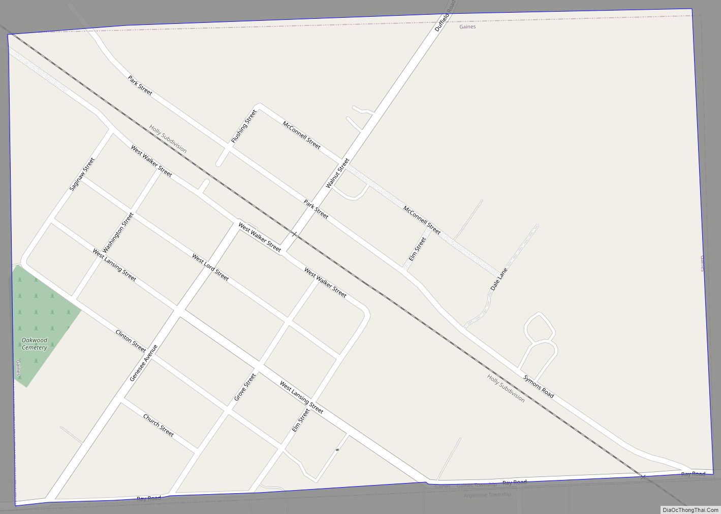
Online Interactive Map
Click on ![]() to view map in "full screen" mode.
to view map in "full screen" mode.
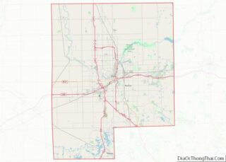
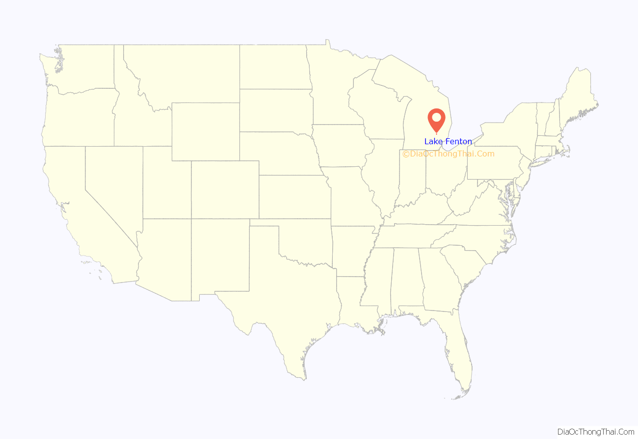
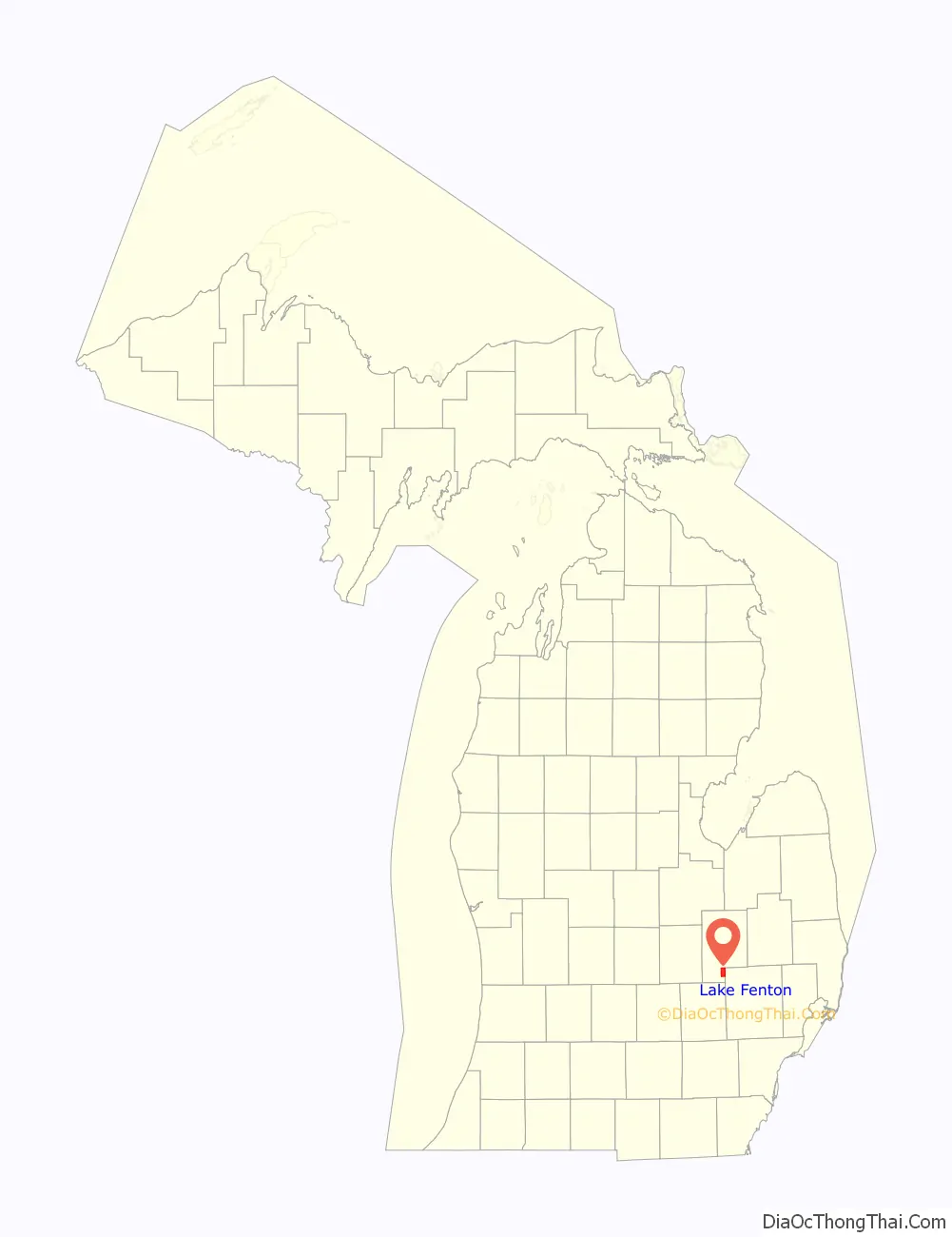
Lake Fenton location map. Where is Lake Fenton CDP?
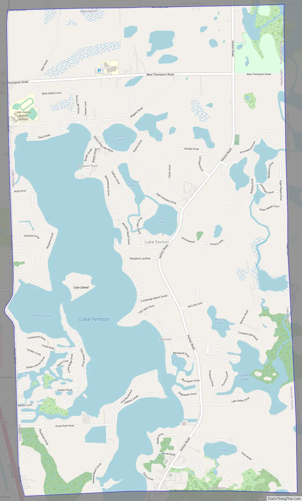
Lake Fenton Road Map
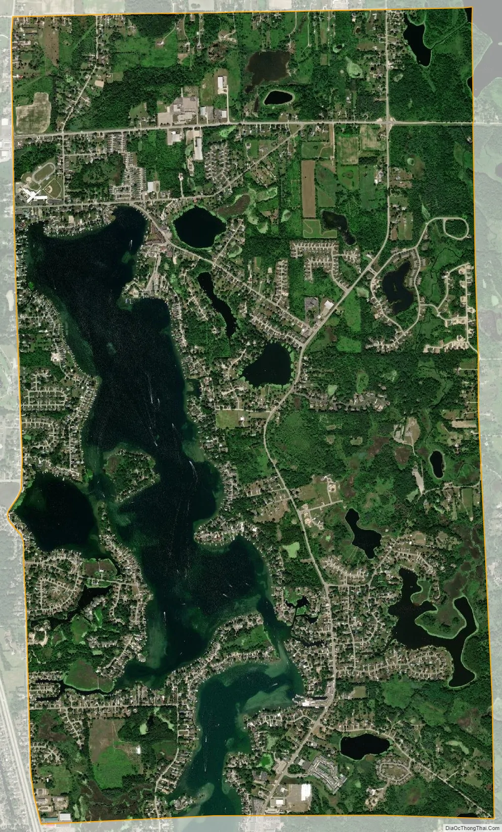
Lake Fenton city Satellite Map
Geography
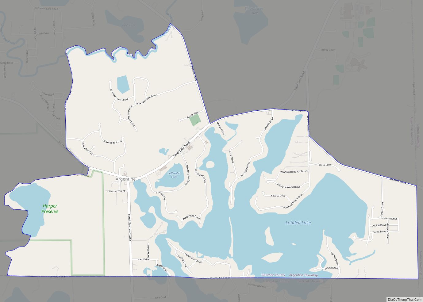
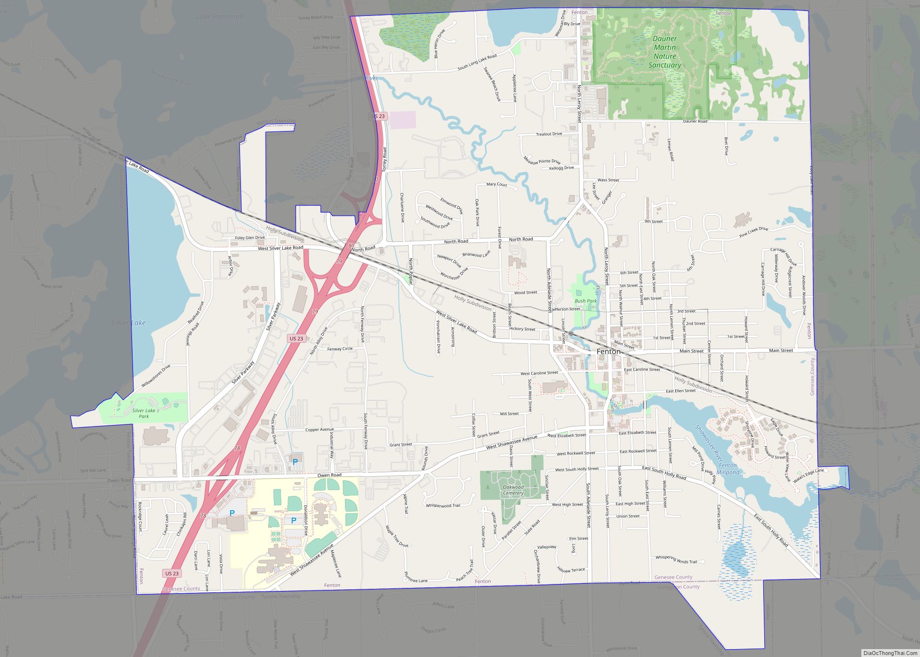
The Lake Fenton CDP occupies the northeast corner of Fenton Township, bordered to the north by Mundy Township, to the west by the rest of Fenton Township, to the south by the city of Fenton, and to the east by Holly Township in Oakland County. All but the southern end of Lake Fenton, the water body, is located within the Lake Fenton CDP; the southern end of the lake is in the city of Fenton. Other lakes in the CDP include Petts Lake, Crooked Lake, McCully Lake, Dollar Lake, Little Long Lake, and Barnum Lake. According to the United States Census Bureau, the CDP has a total area of 7.2 square miles (18.6 km), of which 5.5 square miles (14.3 km) is land and 1.7 square miles (4.4 km), or 23.51%, is water.
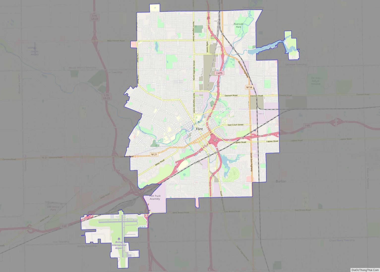
From the center of the Lake Fenton CDP, it is 3.5 miles (5.6 km) south to the center of Fenton city, and 12 miles (19 km) north to downtown Flint, via Fenton Road.
See also
Map of Michigan State and its subdivision:- Alcona
- Alger
- Allegan
- Alpena
- Antrim
- Arenac
- Baraga
- Barry
- Bay
- Benzie
- Berrien
- Branch
- Calhoun
- Cass
- Charlevoix
- Cheboygan
- Chippewa
- Clare
- Clinton
- Crawford
- Delta
- Dickinson
- Eaton
- Emmet
- Genesee
- Gladwin
- Gogebic
- Grand Traverse
- Gratiot
- Hillsdale
- Houghton
- Huron
- Ingham
- Ionia
- Iosco
- Iron
- Isabella
- Jackson
- Kalamazoo
- Kalkaska
- Kent
- Keweenaw
- Lake
- Lake Hurron
- Lake Michigan
- Lake St. Clair
- Lake Superior
- Lapeer
- Leelanau
- Lenawee
- Livingston
- Luce
- Mackinac
- Macomb
- Manistee
- Marquette
- Mason
- Mecosta
- Menominee
- Midland
- Missaukee
- Monroe
- Montcalm
- Montmorency
- Muskegon
- Newaygo
- Oakland
- Oceana
- Ogemaw
- Ontonagon
- Osceola
- Oscoda
- Otsego
- Ottawa
- Presque Isle
- Roscommon
- Saginaw
- Saint Clair
- Saint Joseph
- Sanilac
- Schoolcraft
- Shiawassee
- Tuscola
- Van Buren
- Washtenaw
- Wayne
- Wexford
- Alabama
- Alaska
- Arizona
- Arkansas
- California
- Colorado
- Connecticut
- Delaware
- District of Columbia
- Florida
- Georgia
- Hawaii
- Idaho
- Illinois
- Indiana
- Iowa
- Kansas
- Kentucky
- Louisiana
- Maine
- Maryland
- Massachusetts
- Michigan
- Minnesota
- Mississippi
- Missouri
- Montana
- Nebraska
- Nevada
- New Hampshire
- New Jersey
- New Mexico
- New York
- North Carolina
- North Dakota
- Ohio
- Oklahoma
- Oregon
- Pennsylvania
- Rhode Island
- South Carolina
- South Dakota
- Tennessee
- Texas
- Utah
- Vermont
- Virginia
- Washington
- West Virginia
- Wisconsin
- Wyoming